


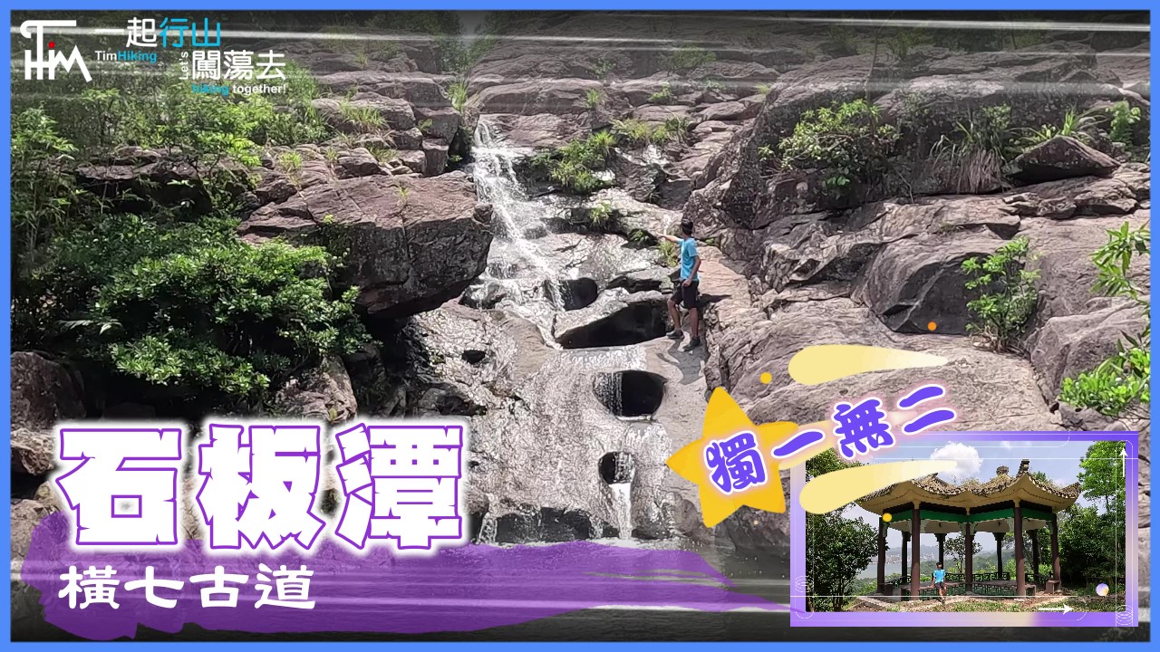
 Recommend YouTube


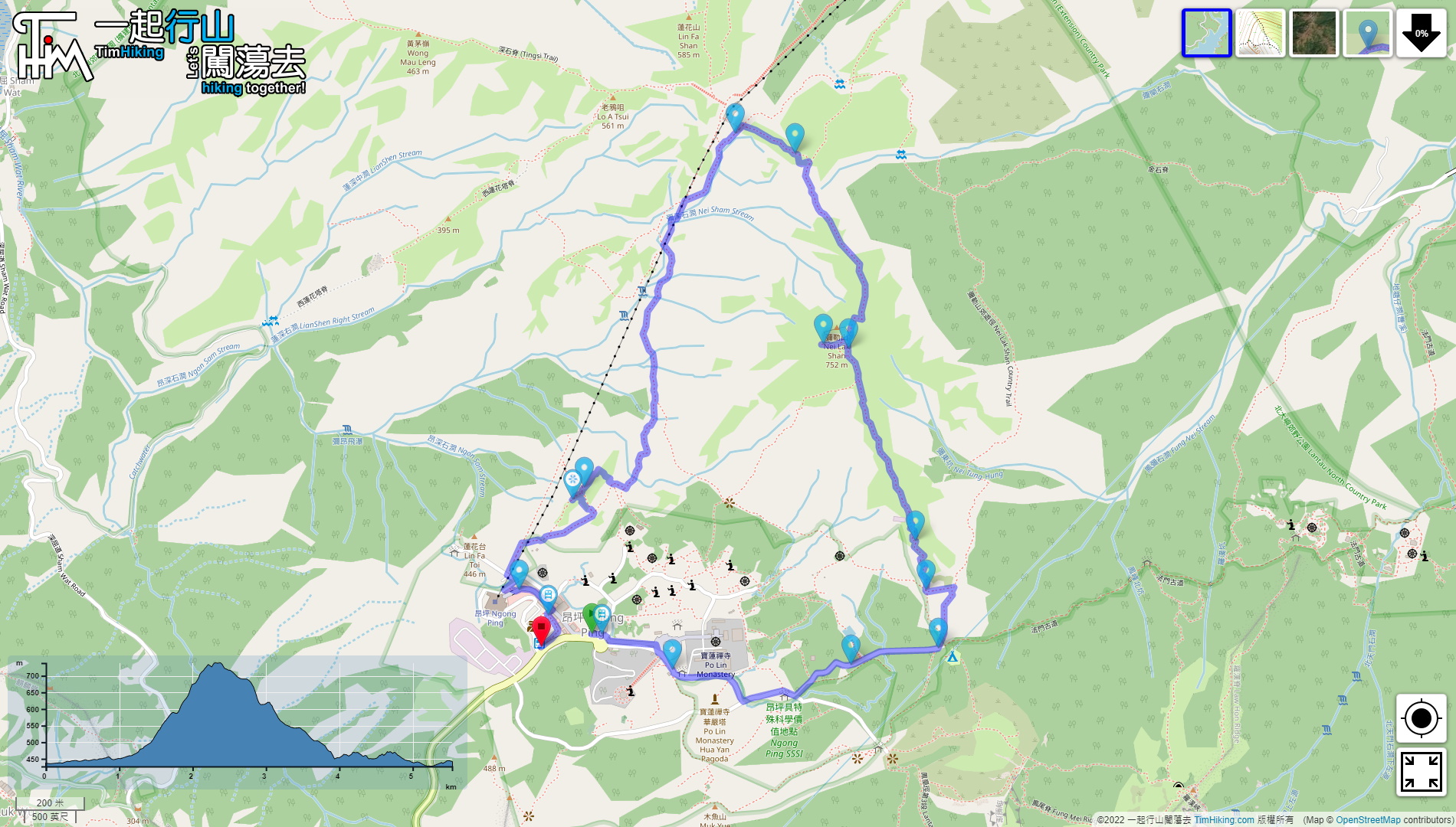


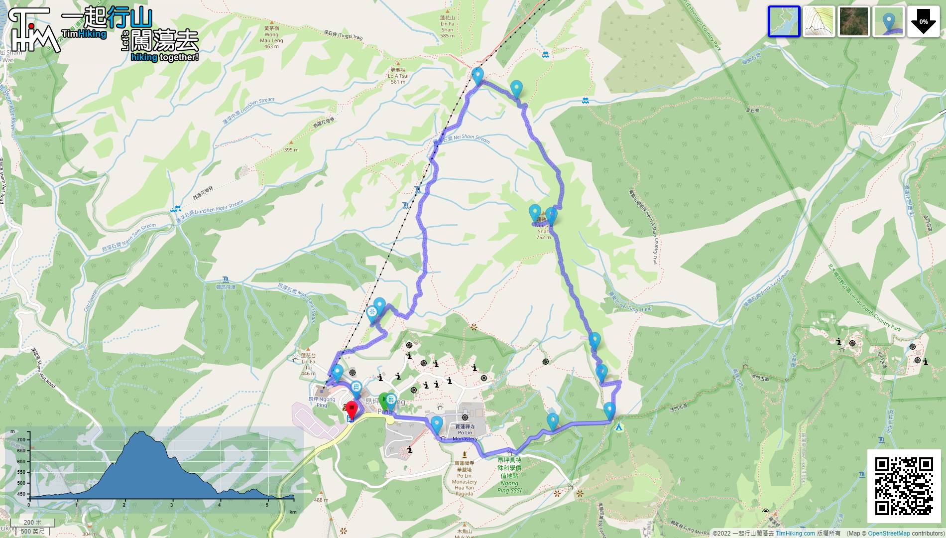
| View : |  | ||
| Difficulty : |  | ||
| Path : | |||
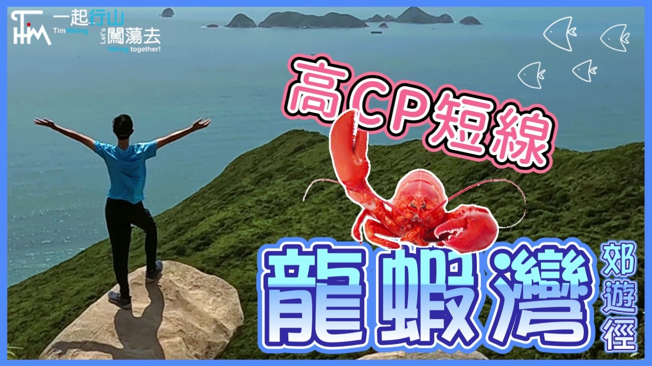
| Length : | 5.6km | ||
| Time : | 2½hours | ||
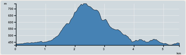 | |
| Ascent : 419m | Descent : 402m |
| Max : 738m | Min : 427m |
| (The accuracy of elevation is +/-30m) | |


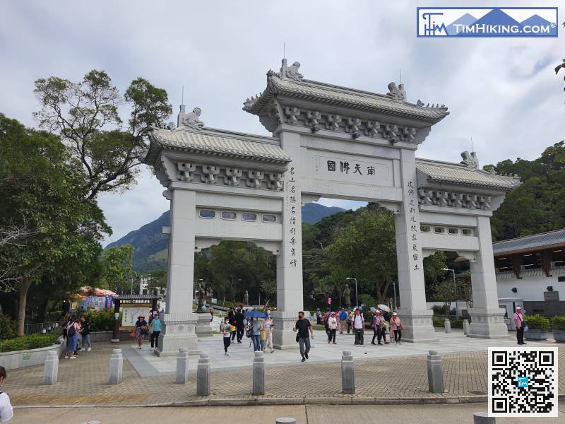
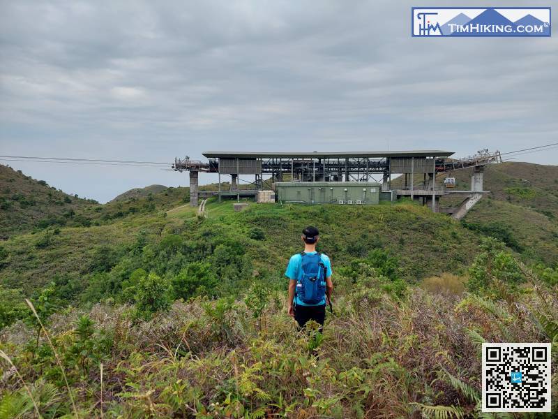
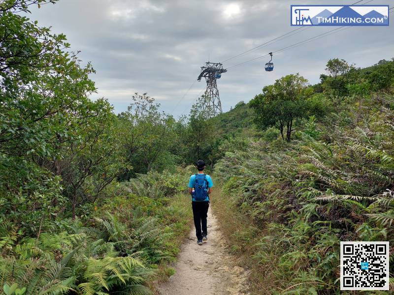
The starting point is near Ngong Ping. You can take the Ngong Ping 360 cable car from Tung Chung, or the Lantau bus No.23 to get there.
 23︰walk for about 2 minutes,
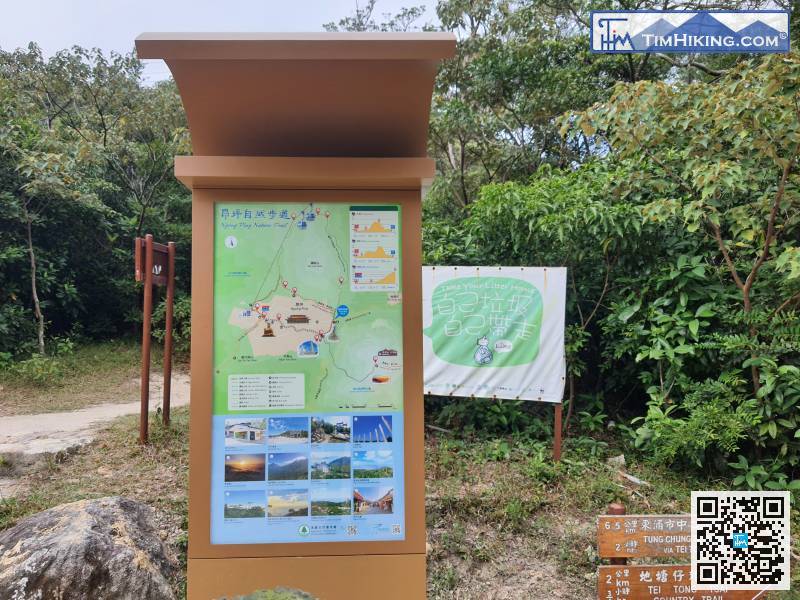
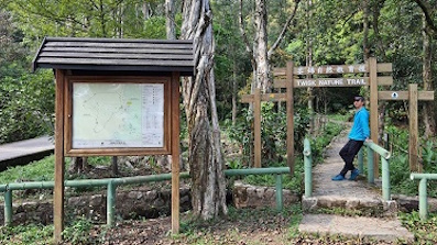
There is another new Ngong Ping nature trail bulletin board on the opposite side,
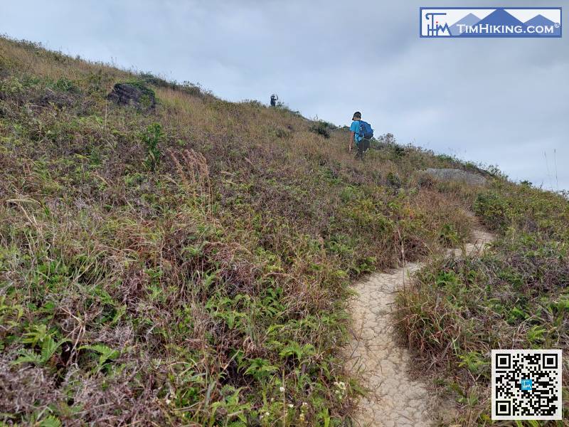
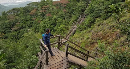
The part up the mountain is all a slope, but the slope is not very large.
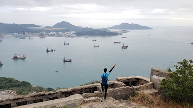
55︰At the top of the mountain, there is a row of strange stone walls, no buildings, it is a helipad.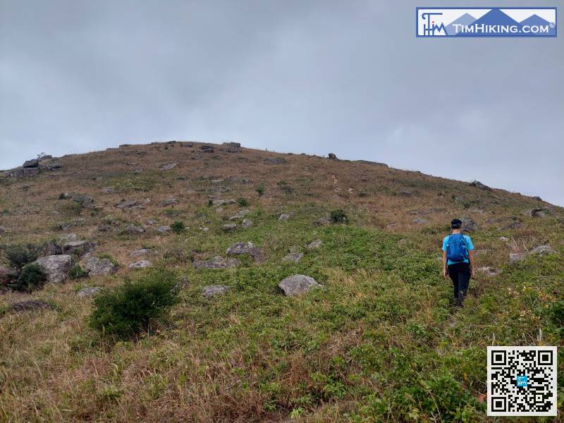
The intersection of the downhill is at the corner of the helipad,
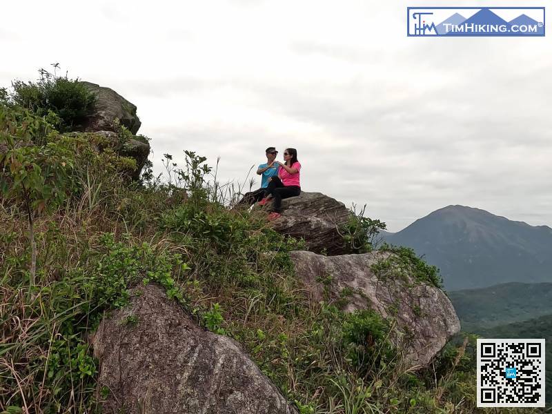
79︰there is a fork just before the hill.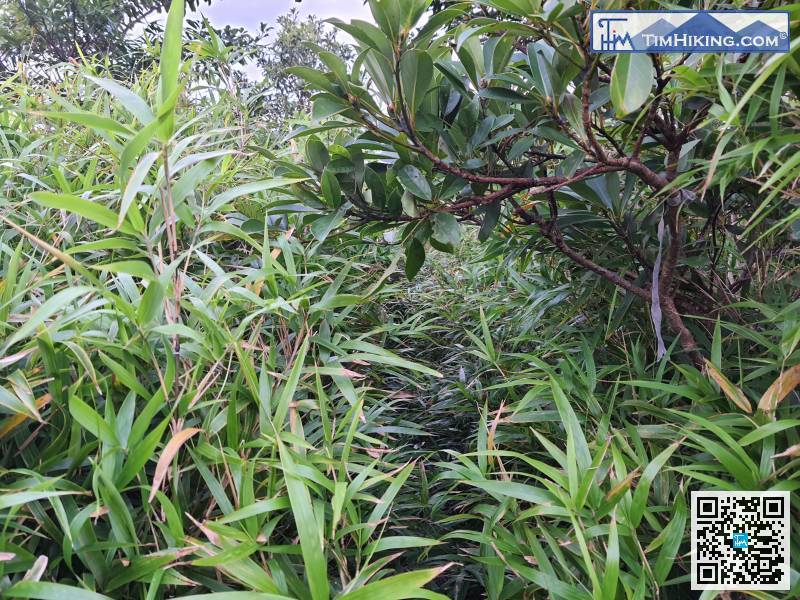
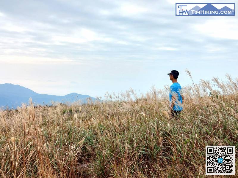
Following is an exaggerated section with dense grass, only 5 meters,
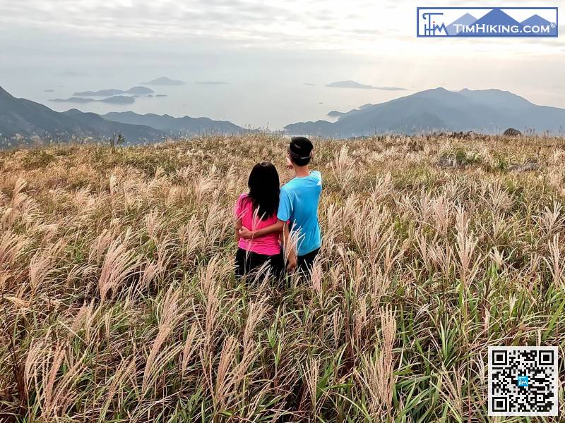
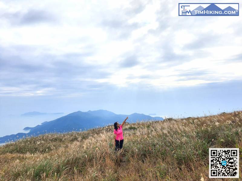
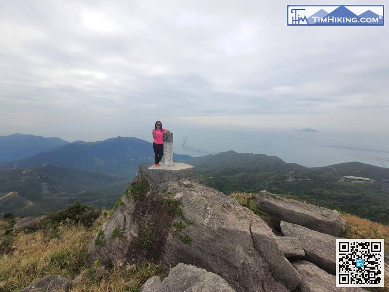
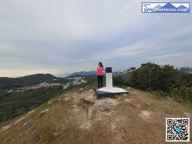
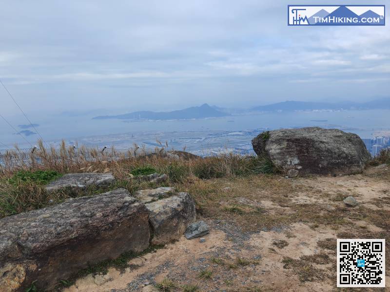
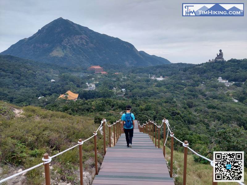
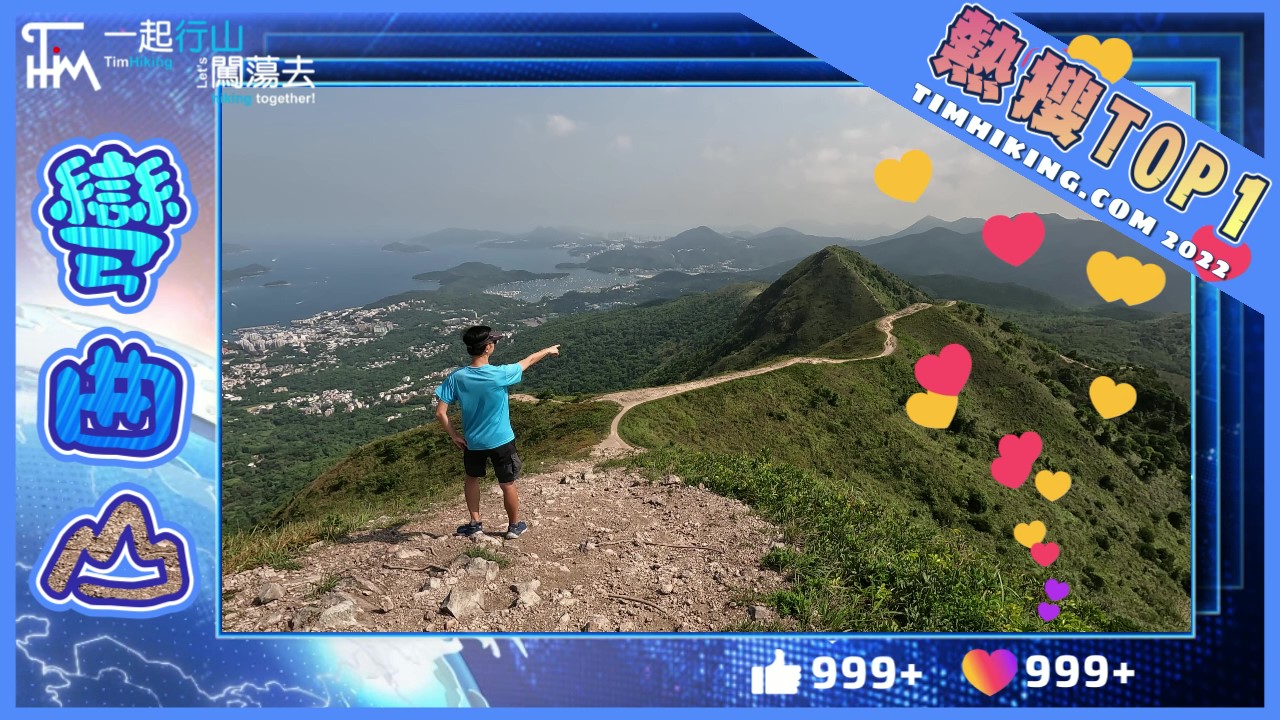
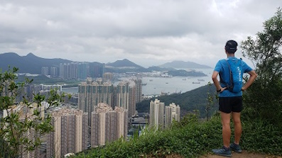
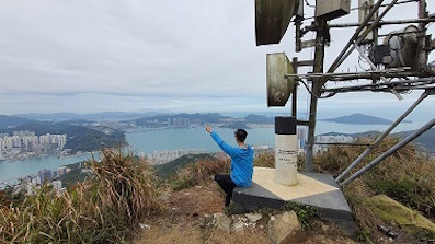
 111︰The hill has no name, and the position of the Trigonometrical Station is 493.3 meters high, so called it Mount 493, the scenery is really good.
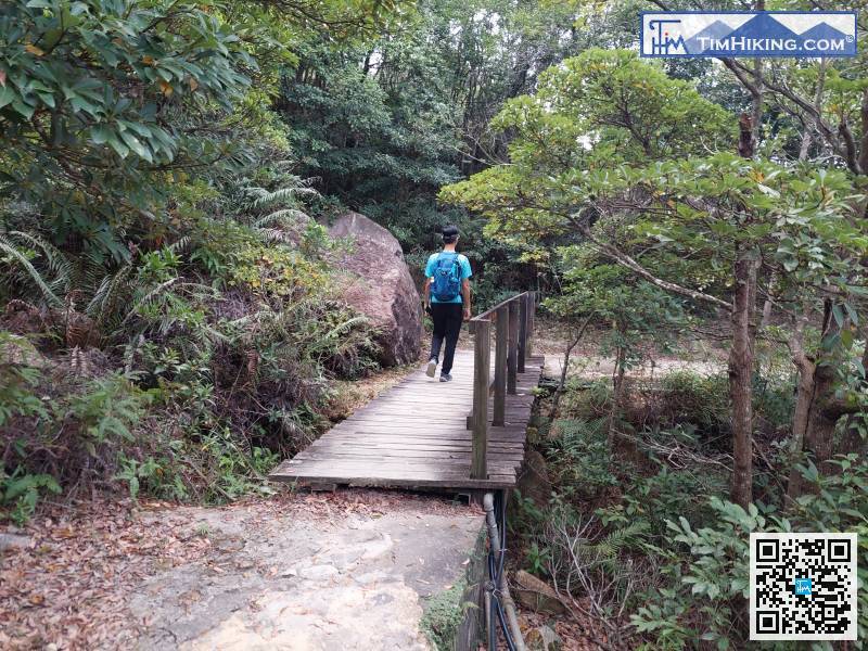
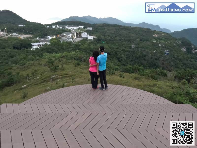
Take the official plank trail back down the mountain,


