


 Recommend YouTube


| View : |  | ||
| Difficulty : |  | ||
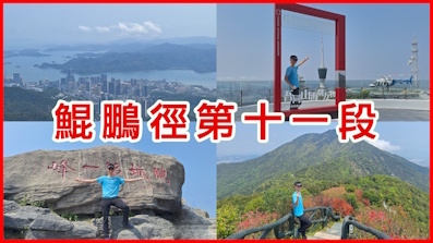
 (Siu Yam Teng) | |||
| Path : | |||
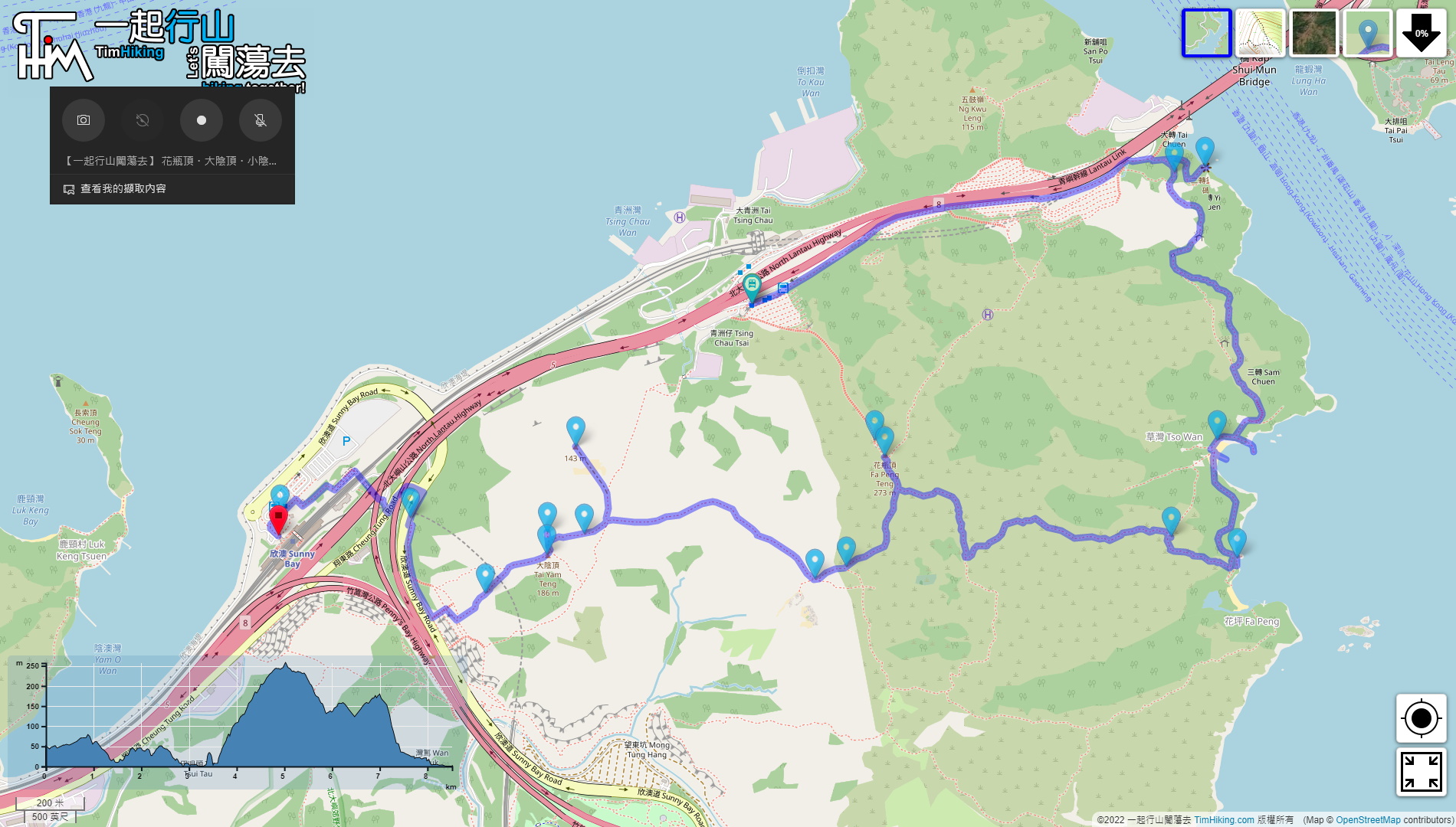
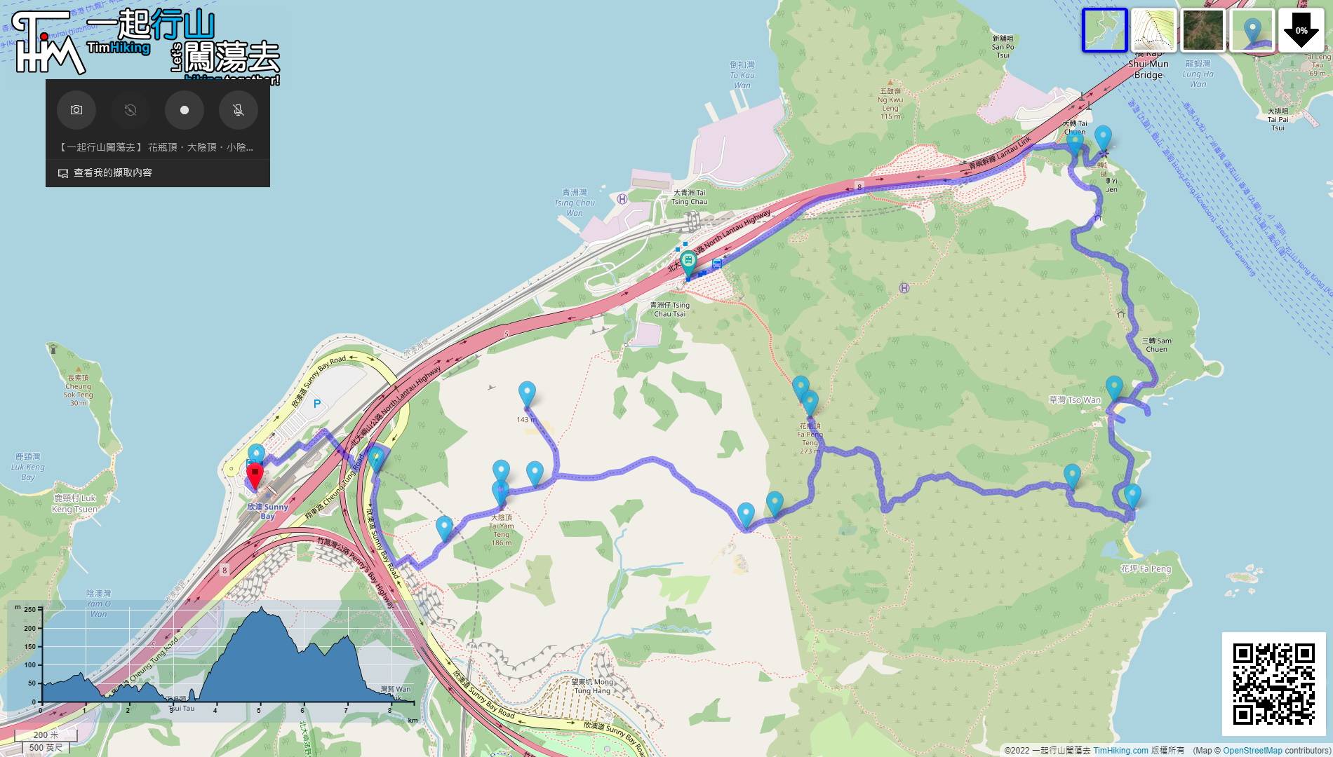
| Length : | 8.6km | ||
| Time : | 4½hours | ||
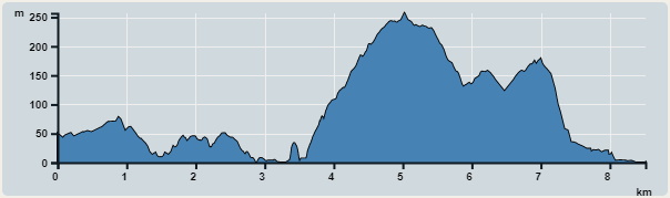 | |
| Ascent : 500m | Descent : 577m |
| Max : 257m | Min : 0m |
| (The accuracy of elevation is +/-30m) | |


 6︰skip the Tunnel entrance,
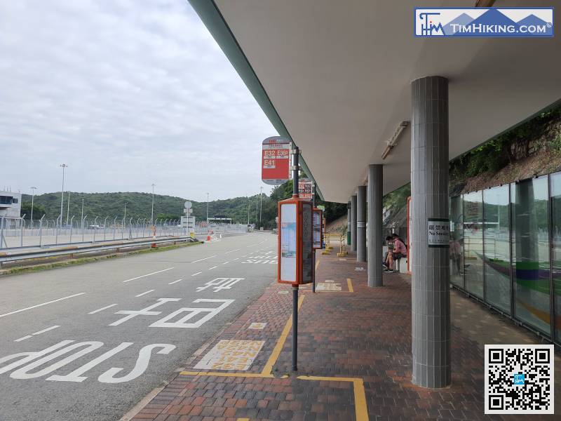
To get to the starting point, just take any bus passing through the Lantau Link Bus-Bus Interchange.
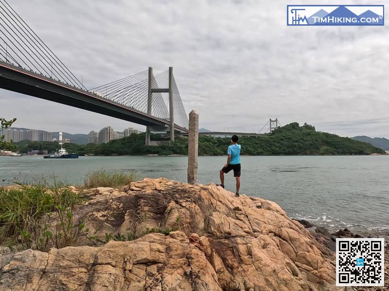
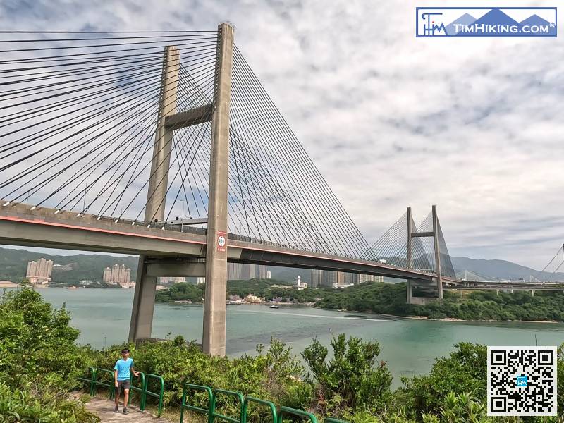
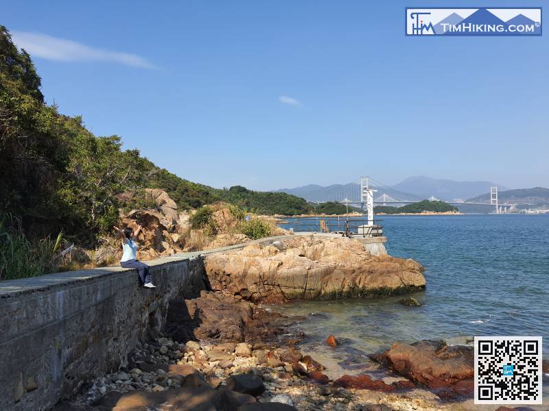
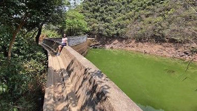
31︰and you will see a beautiful scene soon when you look back. This is the best location to shoot Kap Shui Mun Bridge.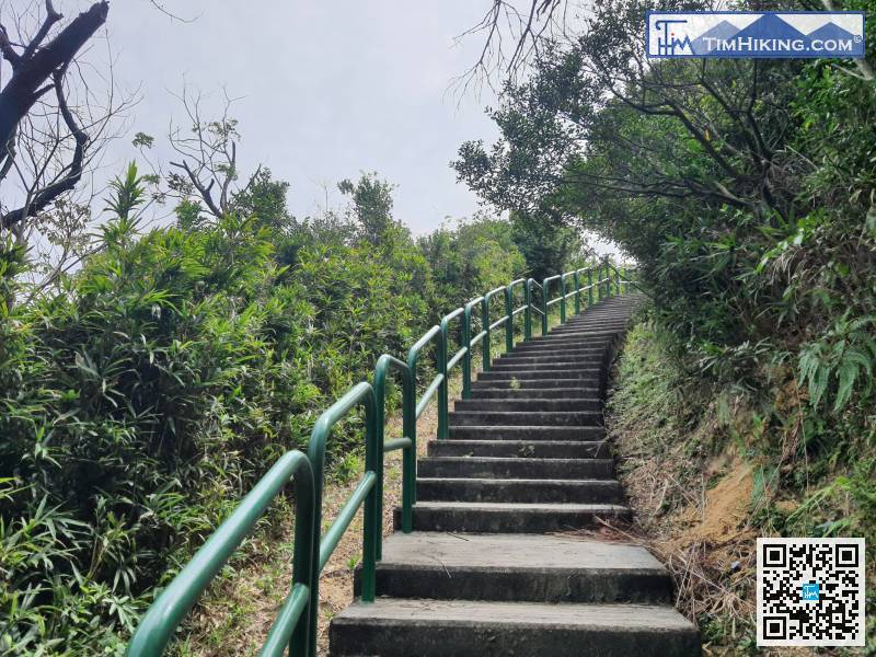
Then, go up the mountain on the right,
57︰Go back to the intersection and pay attention to the concrete steps going up the mountain.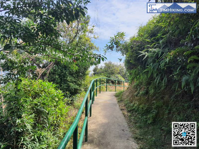
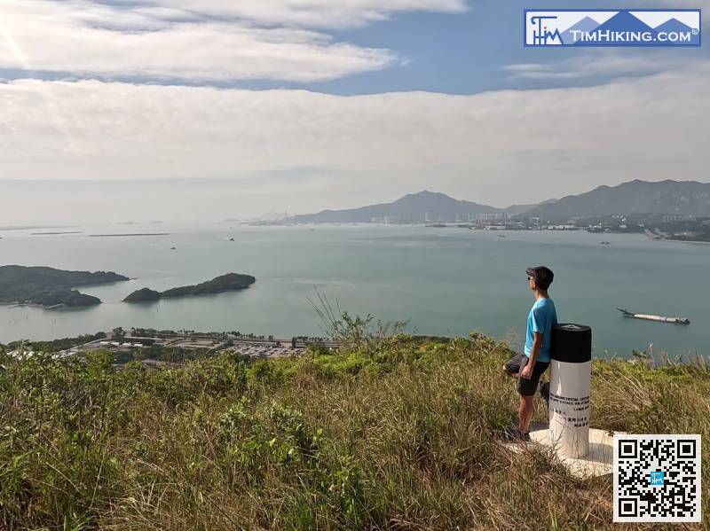
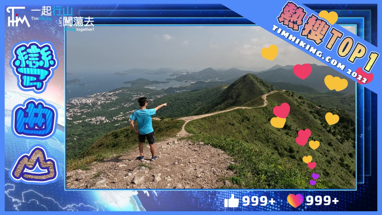
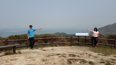
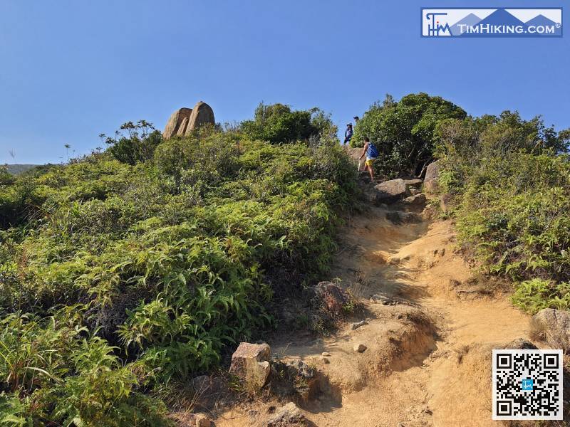 83︰Fa Peng Teng has a Trigonometrical Station with a 360-degree landscape,
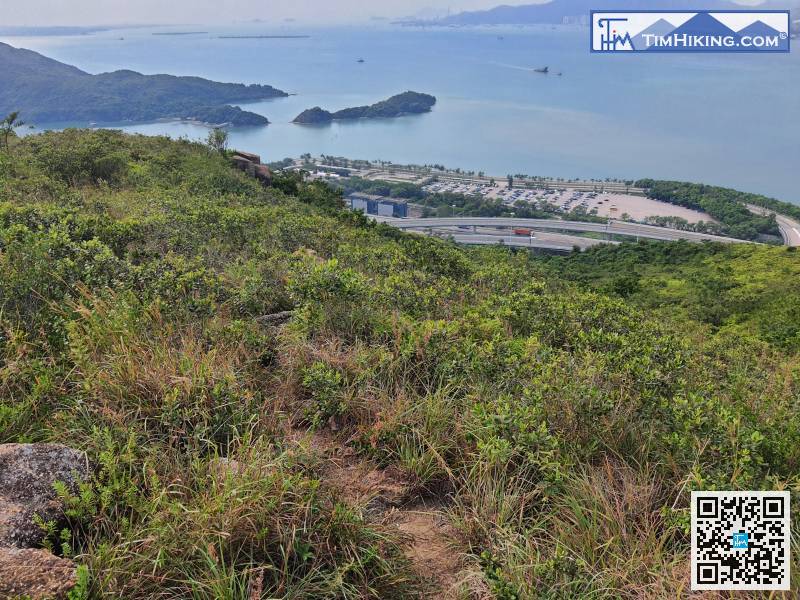
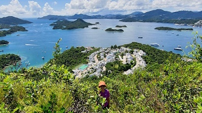
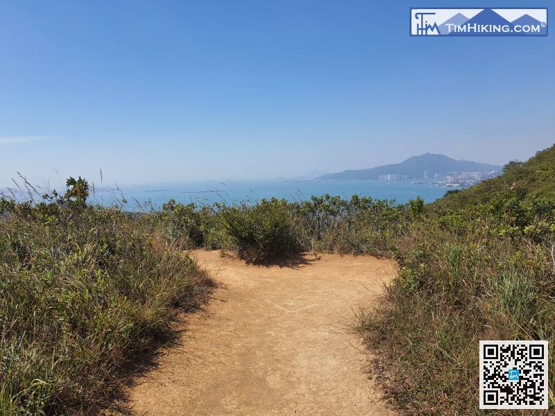 97︰Go to the bare fork, and at the foot of the mountain in front is Inspiration Lake,
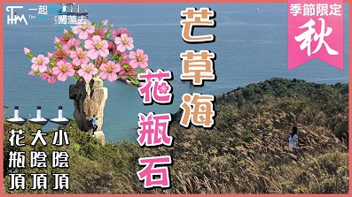
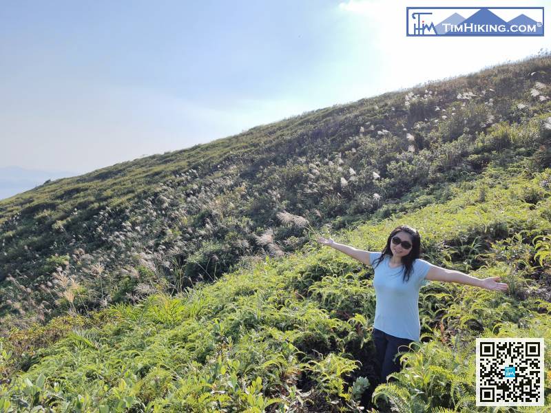
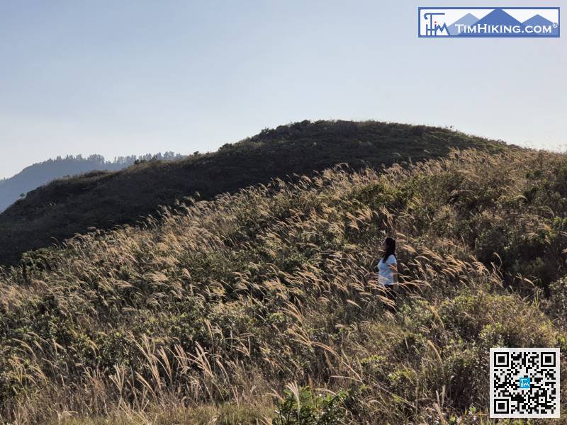
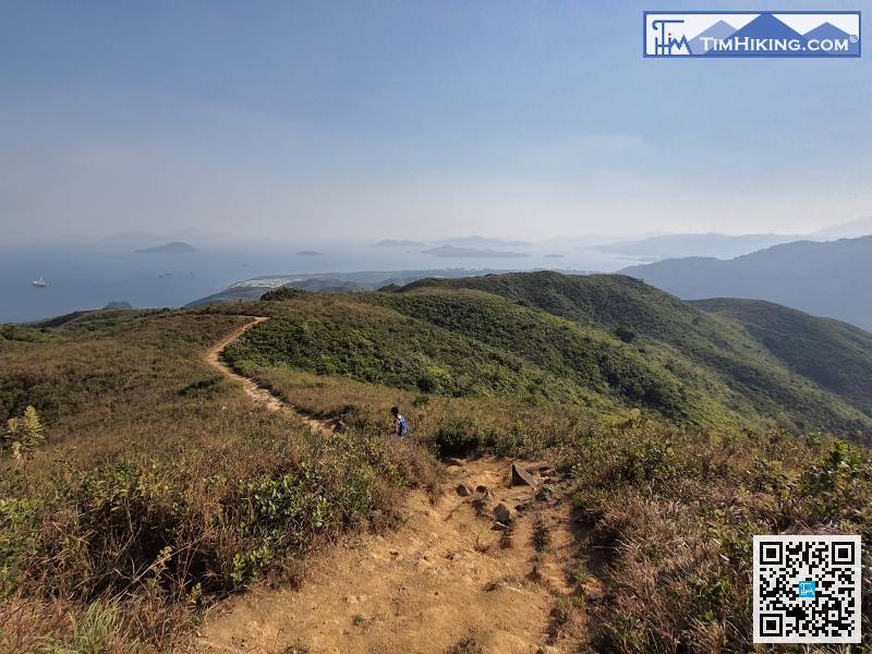 112︰There is a few Miscanthus along the trail, there will definitely be surprises in autumn and winter!
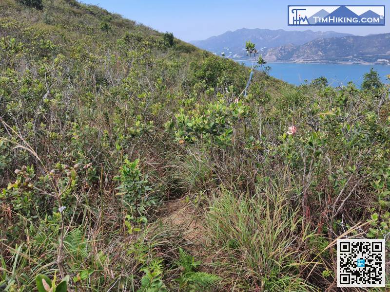
At the fork, you will see a mountain trail, or you will see a ribbon.
124︰It can be seen that the location of the old Trigonometrical Station has grown more and more grasses, and the scenery is actually not as good as Tai Yam Teng, so when you see it, just like be there.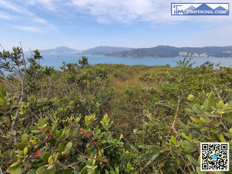
On this trip, I will show you once. There are basically no ribbons along the road and don't believe it.
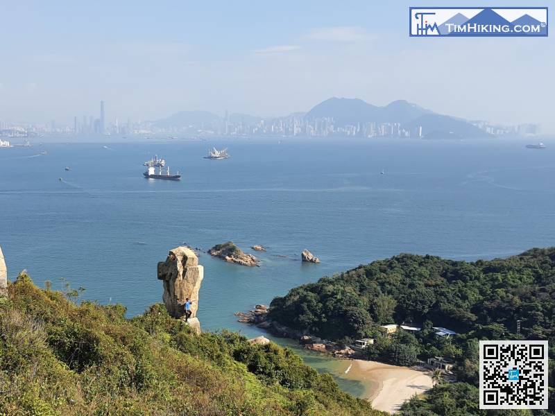
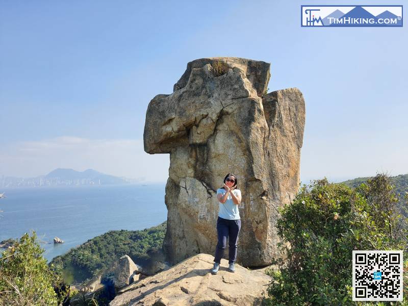
146︰only a big rock,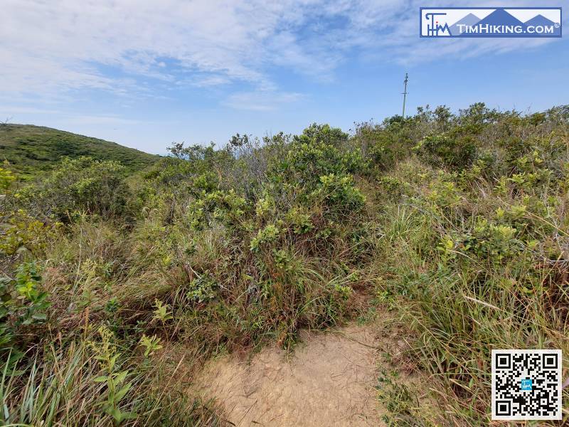
Return to the fork just now,
After reaching the top, you can go down the mountain along the other end. You don't need to turn back on the original road.


