


 Recommend YouTube


| View : |  | ||
| Difficulty : |  | ||
 (Skip Stone City) | |||
| Path : | |||
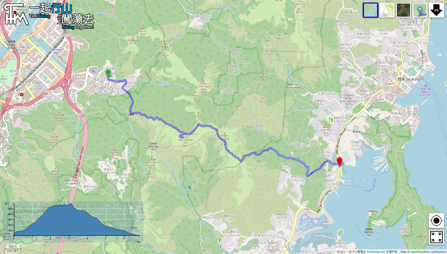
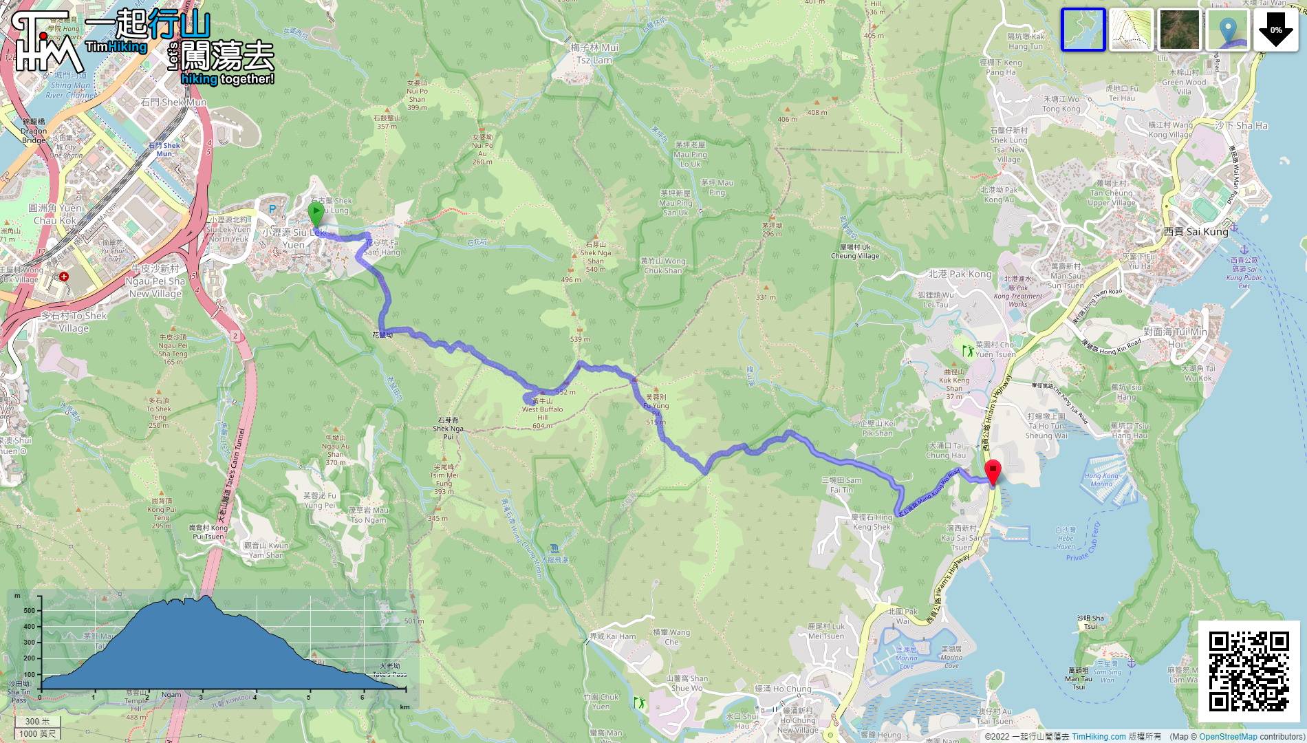
| Length : | 6.8km | ||
| Time : | 4hours | ||
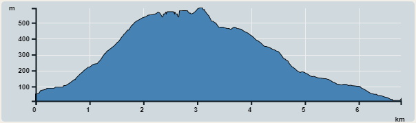 | |
| Ascent : 642m | Descent : 680m |
| Max : 591m | Min : 9m |
| (The accuracy of elevation is +/-30m) | |


 9︰pay attention to the road up the hill on the left-hand side, which also has a road sign.
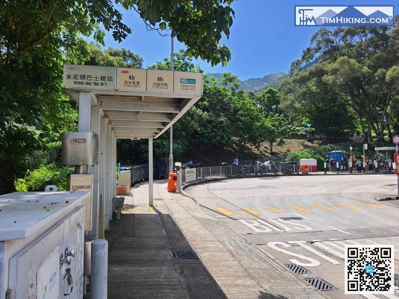
Starting at Wong Nai Tau in Siu Lek Yuen, can take KMB 83K at Shatin Station or City One Station; or take 83X at Tate's Cairn Tunnel interchange and get off at Wong Nai Tau bus terminal. The transport is very convenient. Actually, there are other buses and minibuses.
20︰go straight to Shek Nga Pui,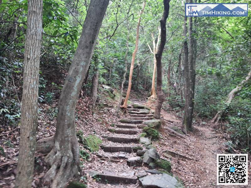
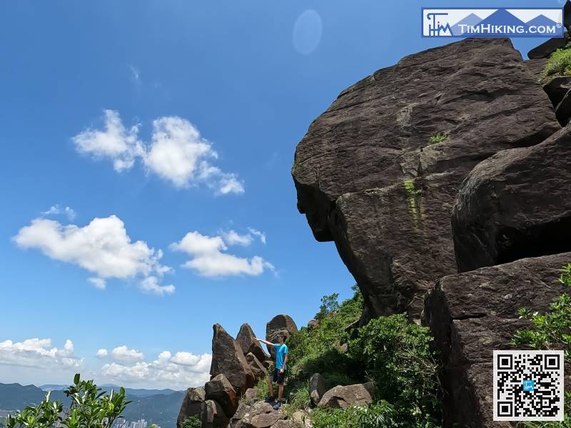
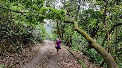
The mountain trail is similar to the ancient trail-style, with big stone steps,
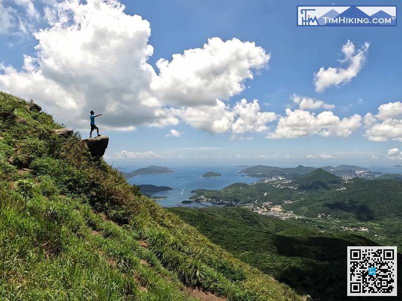
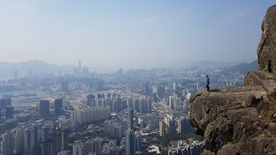
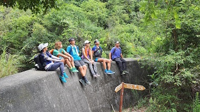
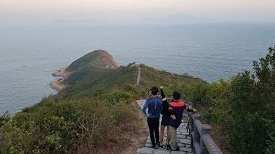
28︰It only took about 10 minutes to walk. Looking back, the scenery is very wide that the whole Shatin has a panoramic view.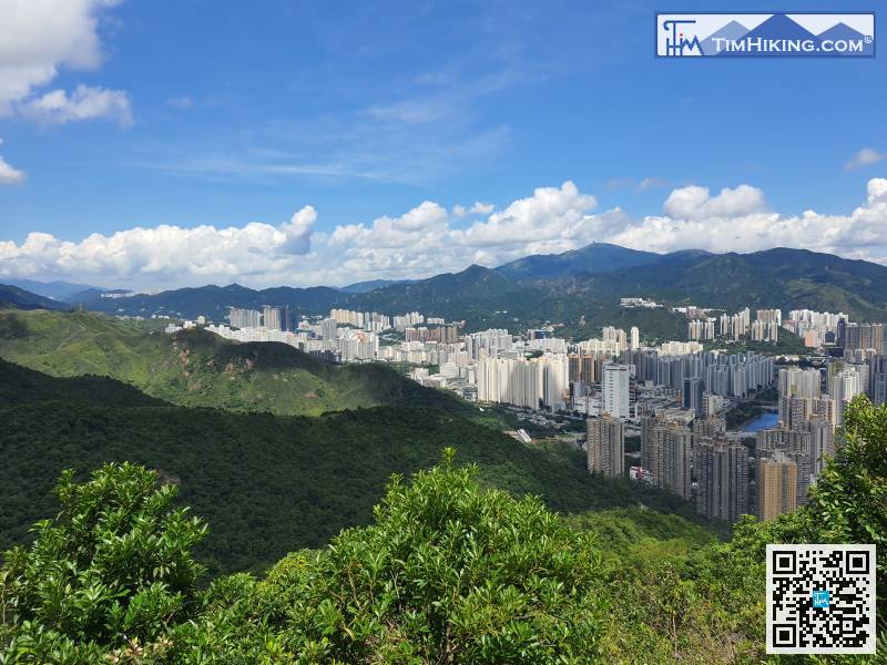
It only took about 10 minutes to walk. Looking back, the scenery is very wide that the whole Shatin has a panoramic view.
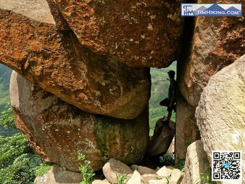
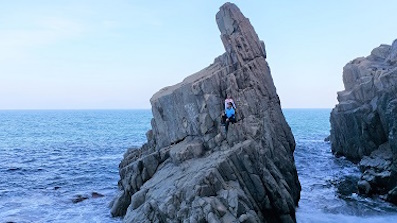
45︰approach the huge rock,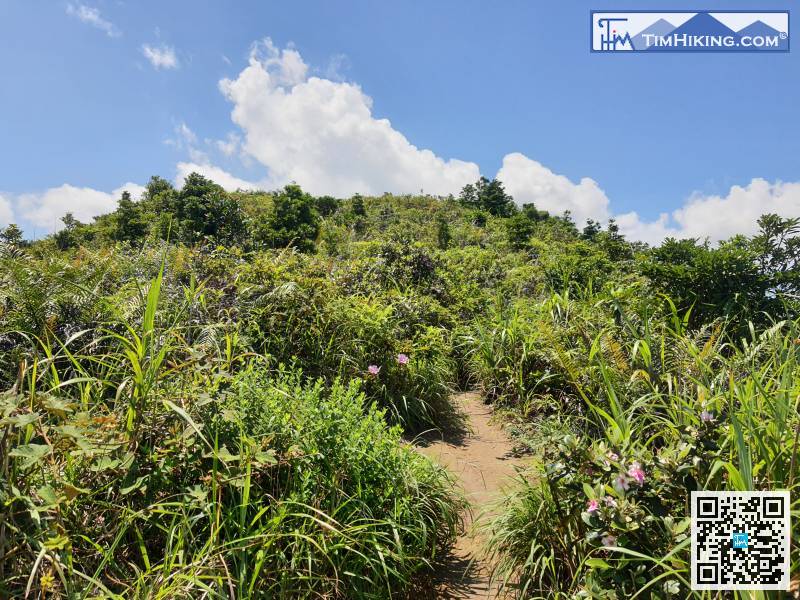
Walk for another 5 minutes, and almost at the top of the small hill.
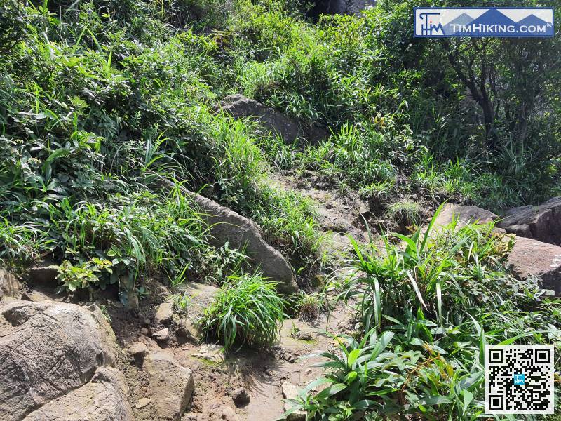
Continue to climb a little higher from the trail on the right,
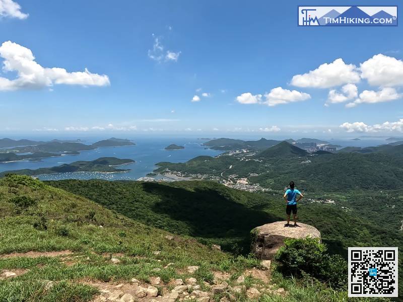
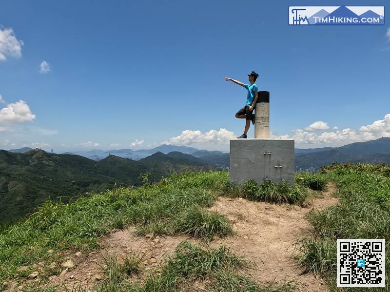
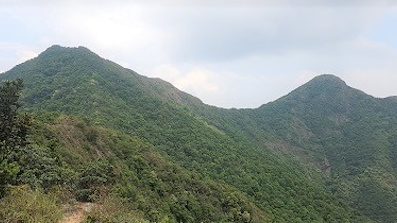
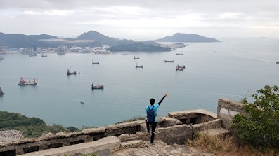
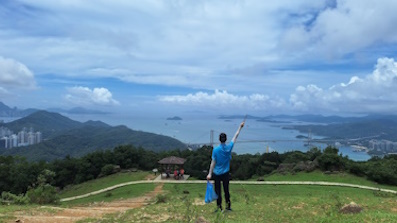
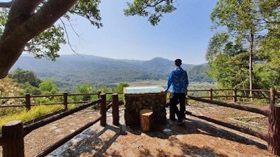
73︰There is a big trigonometrical station on West Buffalo Hill, with a 360-degree invincible view, it is a good place for a big break.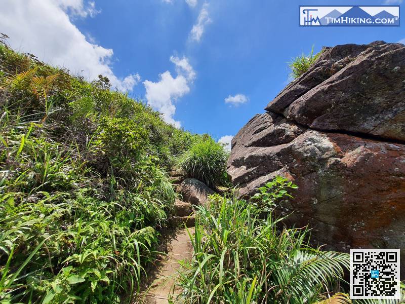
After returning to the main trail, continue to climb West Buffalo Hill,
84︰Soon, come to the top of Buffalo Hill. There is no Trigonometrical Station on the top of the mountain, and the highest position is the big rock.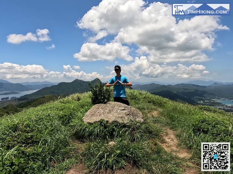
Soon, come to the top of Buffalo Hill. There is no Trigonometrical Station on the top of the mountain, and the highest position is the big rock.
95︰and will come to an intersection.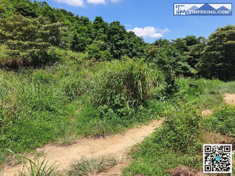
After returning to the official main trail, keep a few steps to the right,
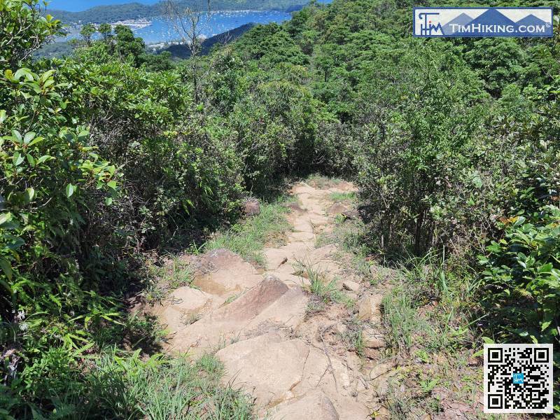
The trails leading down the mountain are all large rock slopes,


