


 Recommend YouTube


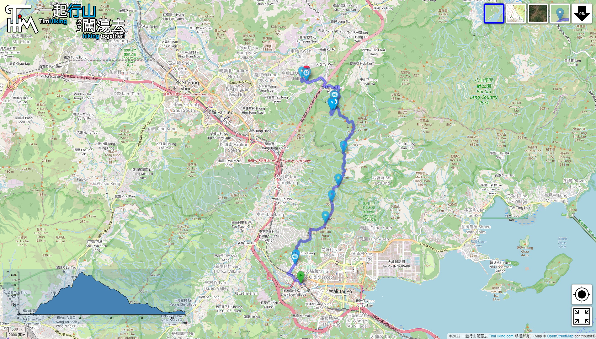

| View : |  | ||
| Difficulty : |  | ||
| Path : | |||
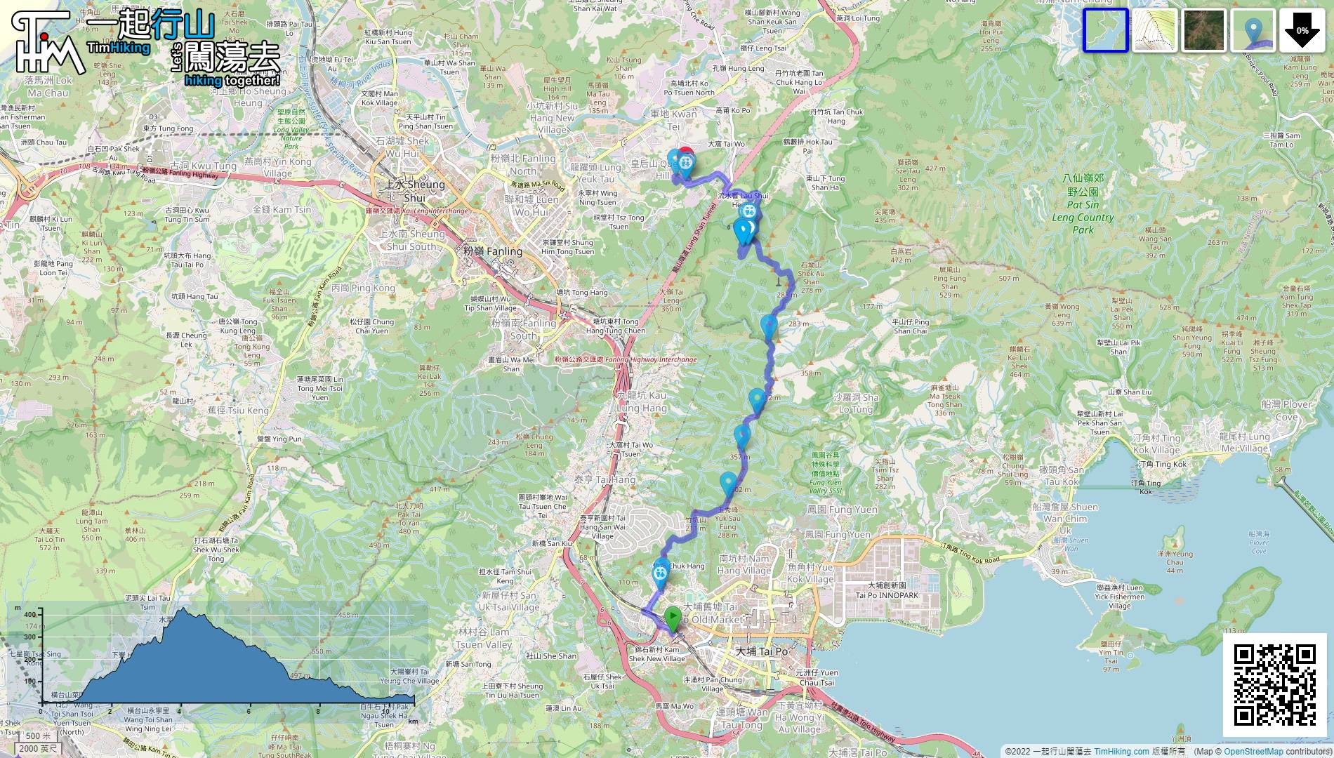
| Length : | 10.8km | ||
| Time : | 4½hours | ||
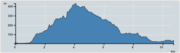 | |
| Ascent : 699m | Descent : 677m |
| Max : 430m | Min : 4m |
| (The accuracy of elevation is +/-30m) | |


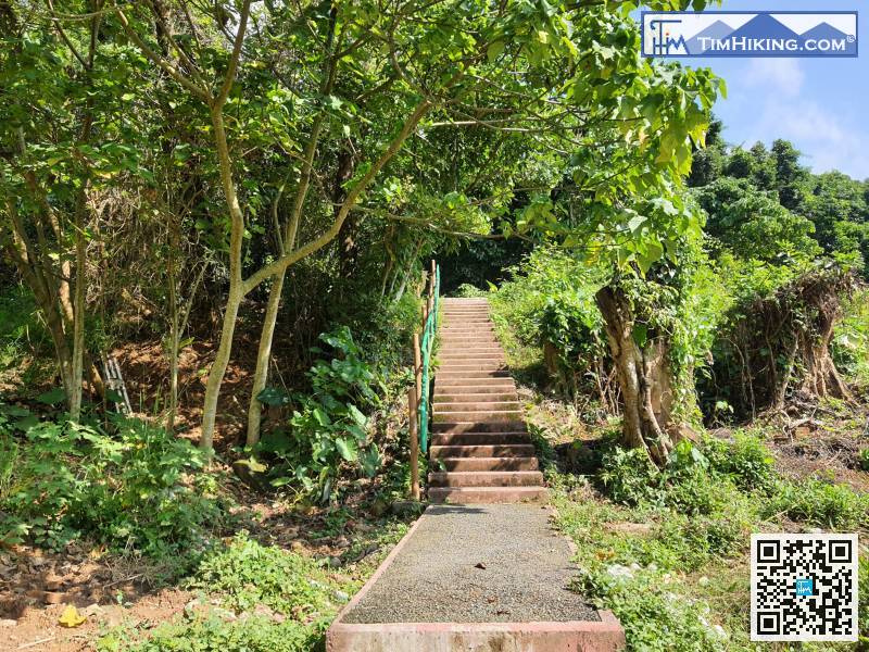
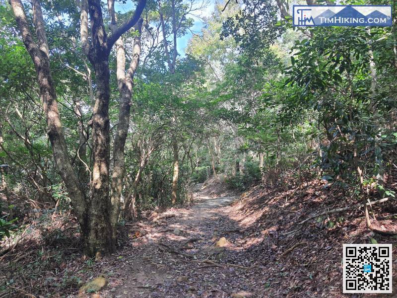
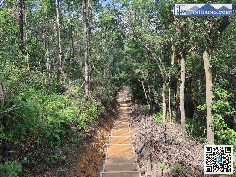
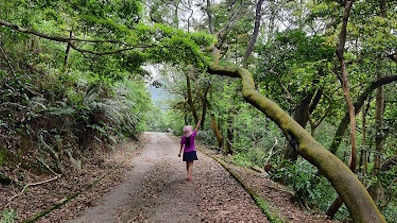
The first section of the mountain trail is mainly composed of steps,
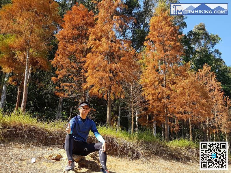
 54︰This is the characteristic of Cloudy Hill.
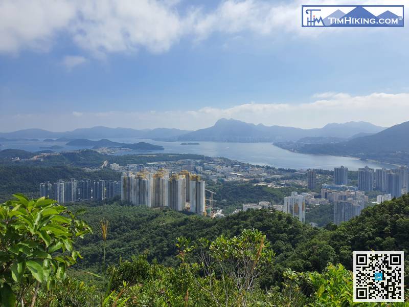
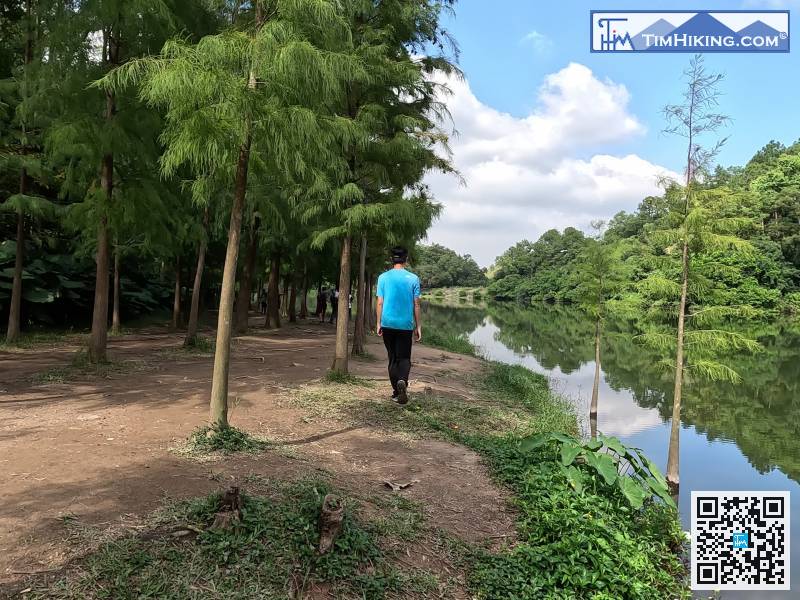
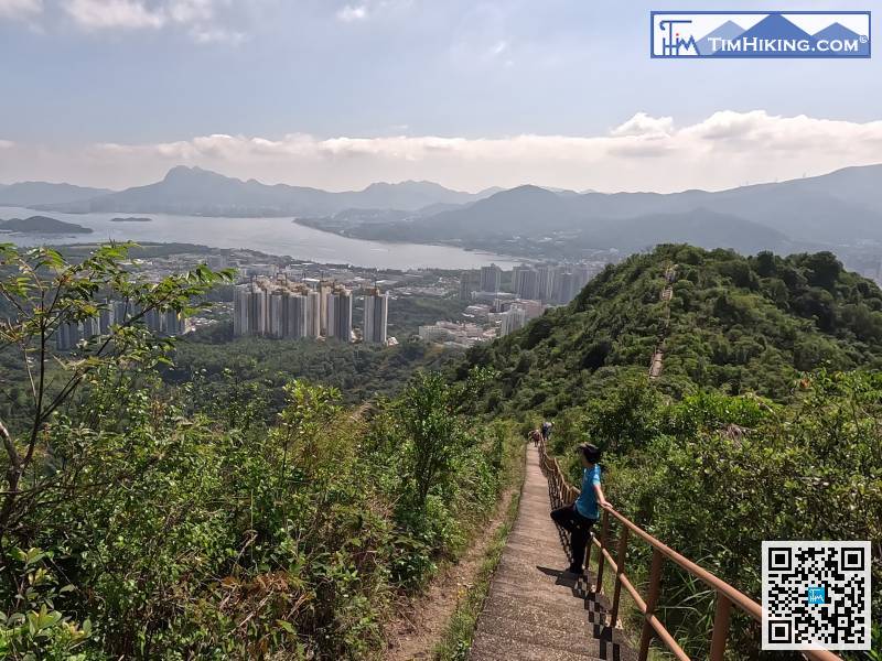
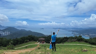
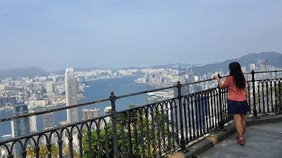
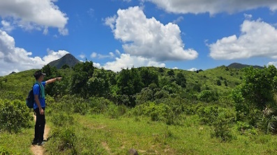
Look at Cloudy Hill and walk past, the scenery is very vast, Sam Mun Tsai, Ma Shi Chau, Ma On Shan, all can be seen at a glance.
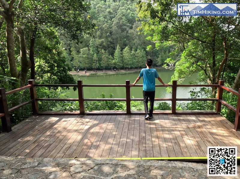
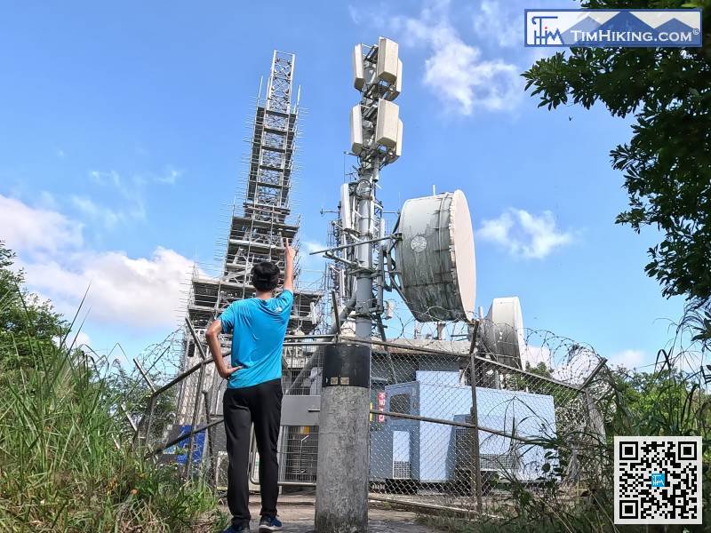
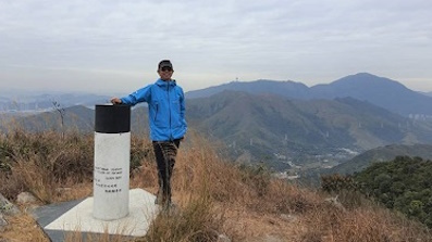
62︰There is a large digital TV broadcasting station and a trigonometrical station on the top of Cloudy Hill, with a high altitude of 440 meters.
There is a large digital TV broadcasting station and a trigonometrical station on the top of Cloudy Hill, with a high altitude of 440 meters.
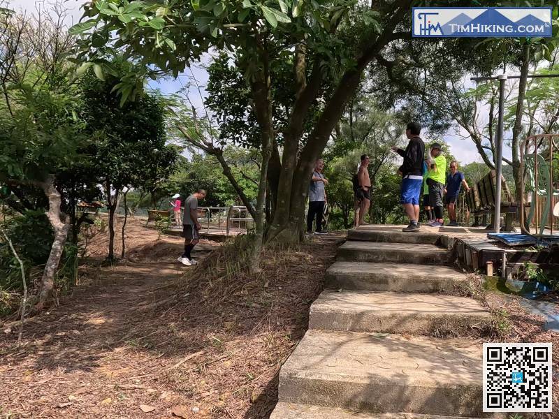
After a break, leave in the direction of the public minibus.
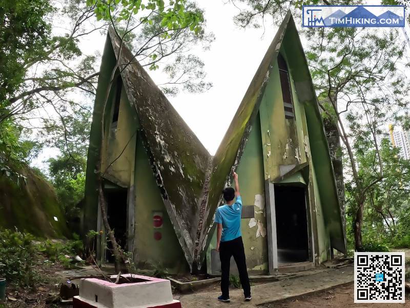
122︰which tells that the exterior of the temple is in the shape of a lotus flower,
At the end, you will find the mountain trail going up the mountain.


