


 Recommend YouTube


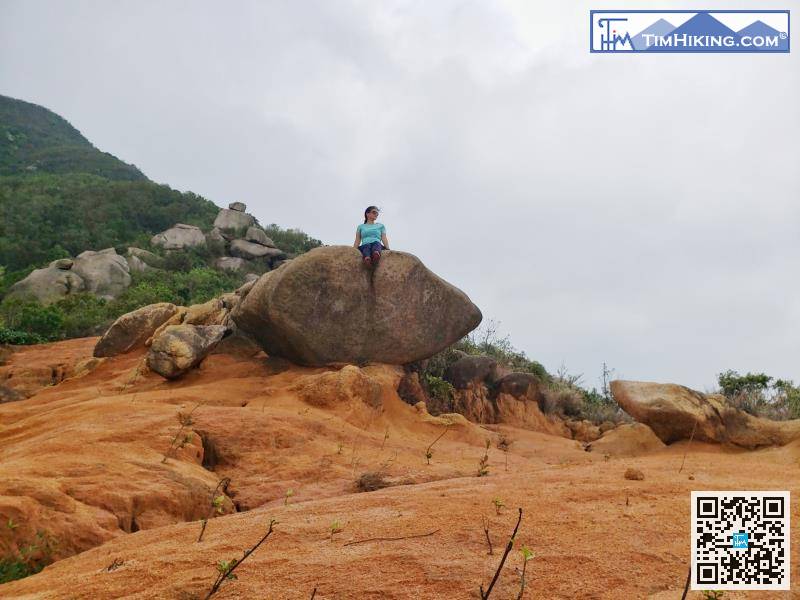
| View : |  | ||
| Difficulty : |  | ||
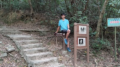
| Path : | |||
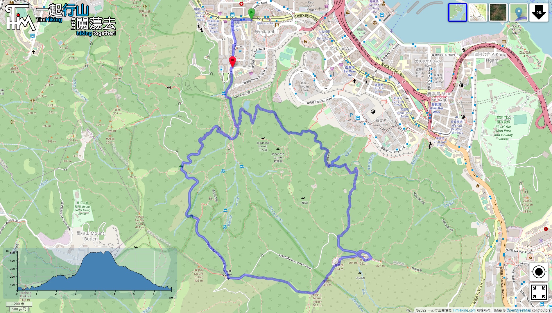
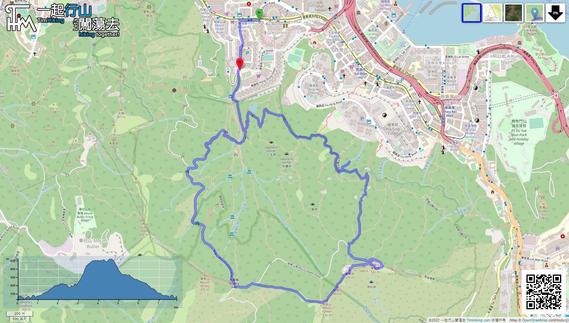
| Length : | 7.9km | ||
| Time : | 4hours | ||
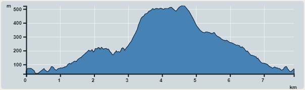 | |
| Ascent : 856m | Descent : 833m |
| Max : 522m | Min : 32m |
| (The accuracy of elevation is +/-30m) | |


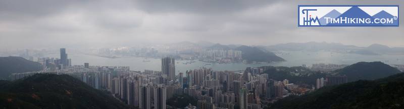
 15︰The trails are all flat
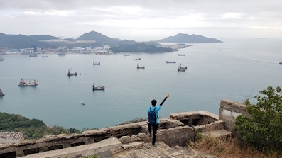
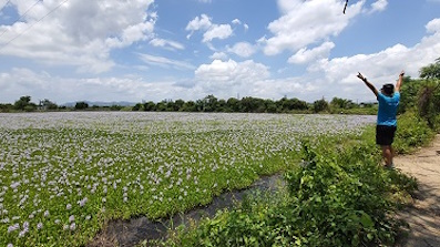
 24︰and can enjoy the view of Victoria Harbour.
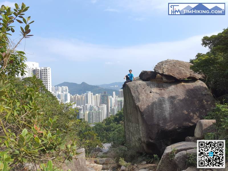
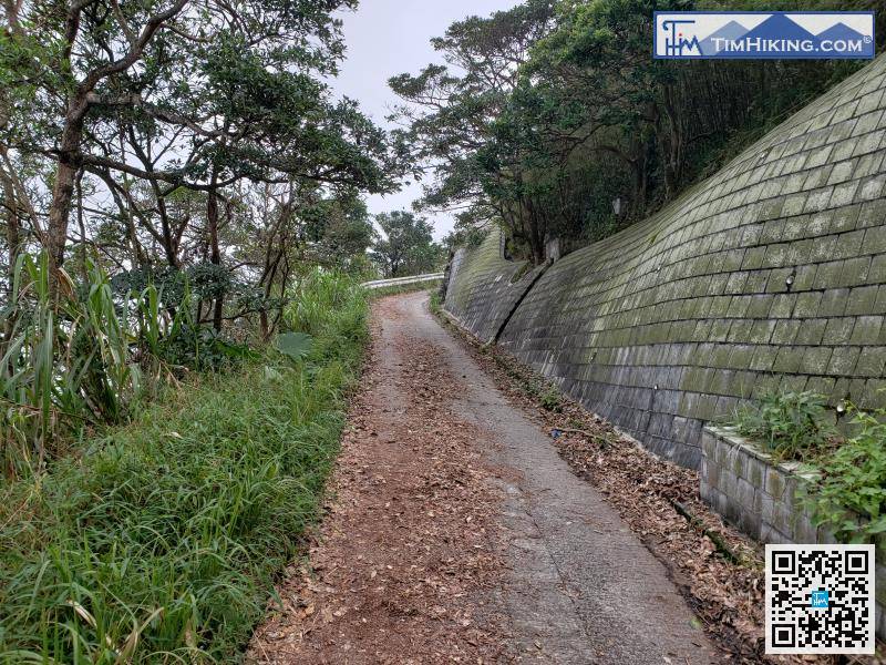
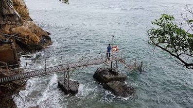
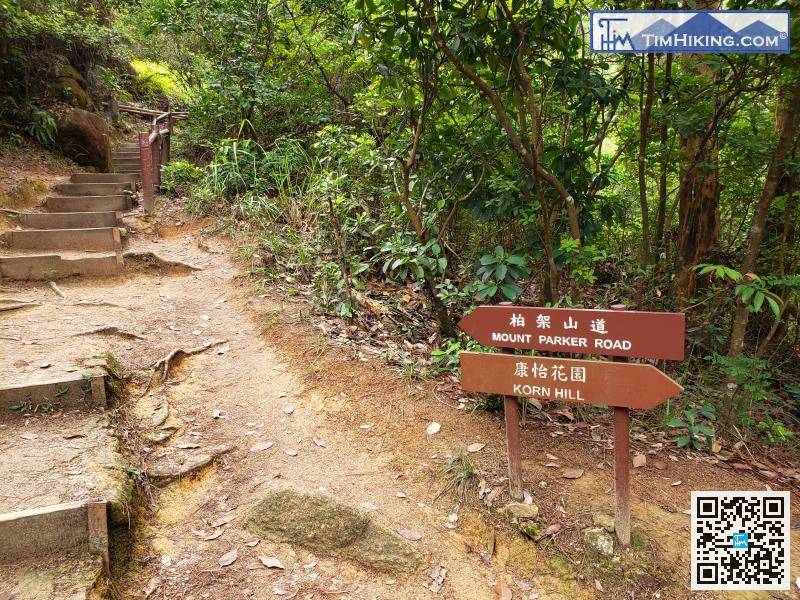 31︰Not far ahead, where there are stone walls and iron chains,
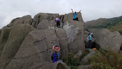
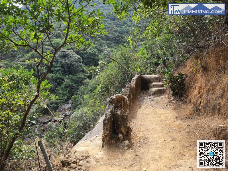
Not far ahead, where there are stone walls and iron chains,
47︰turn into the bifurcation on the right,
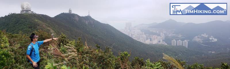
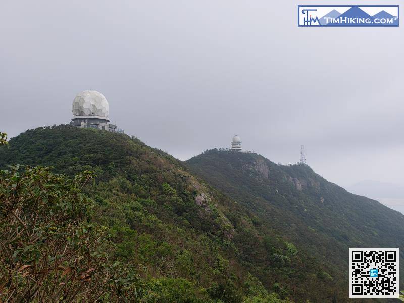
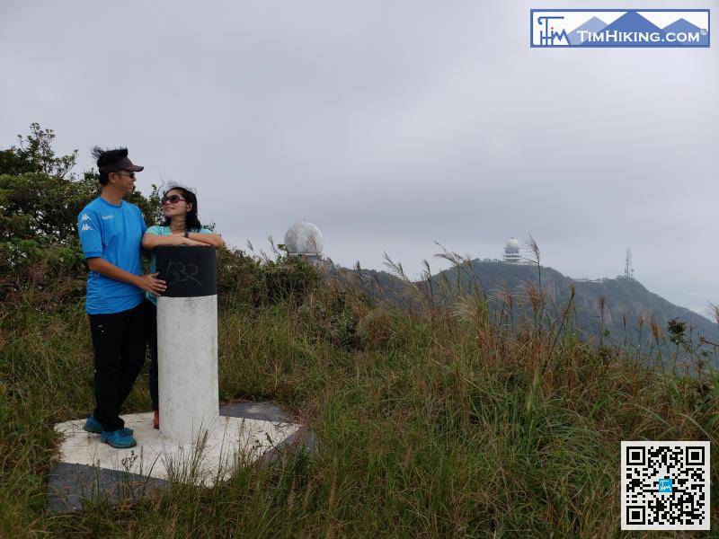
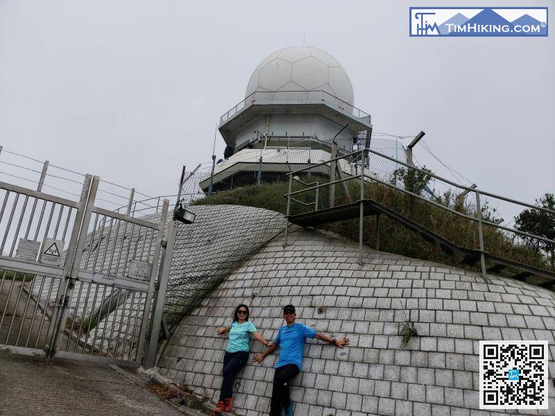
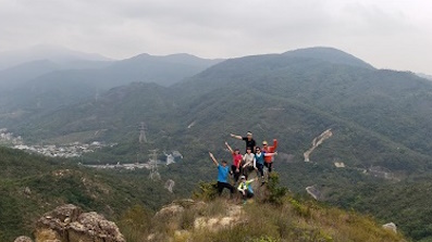
It takes less than half an hour to reach the main peak of Mount Parker.


