


 Recommend YouTube


| View : |  | ||
| Difficulty : |  | ||
| Path : | |||
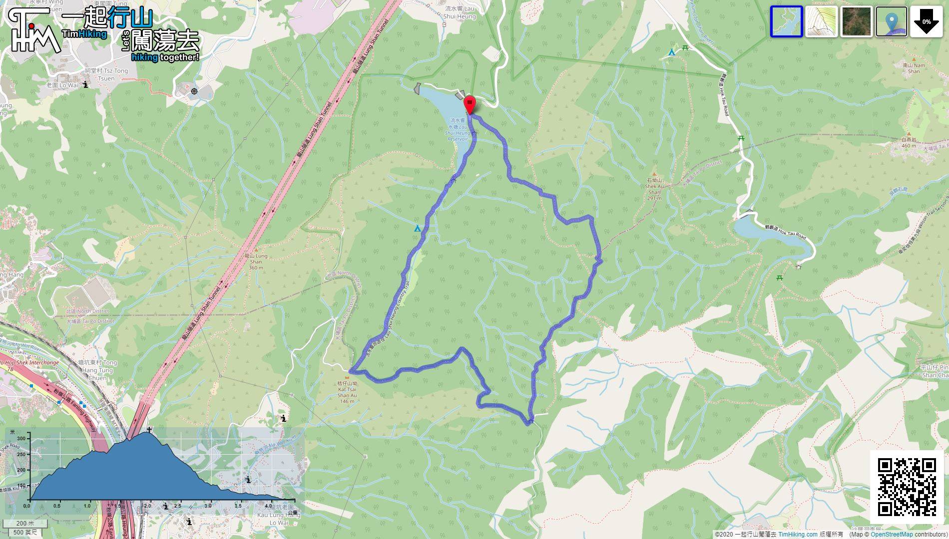
| Length : | 4.4km | ||
| Time : | 2hours | ||
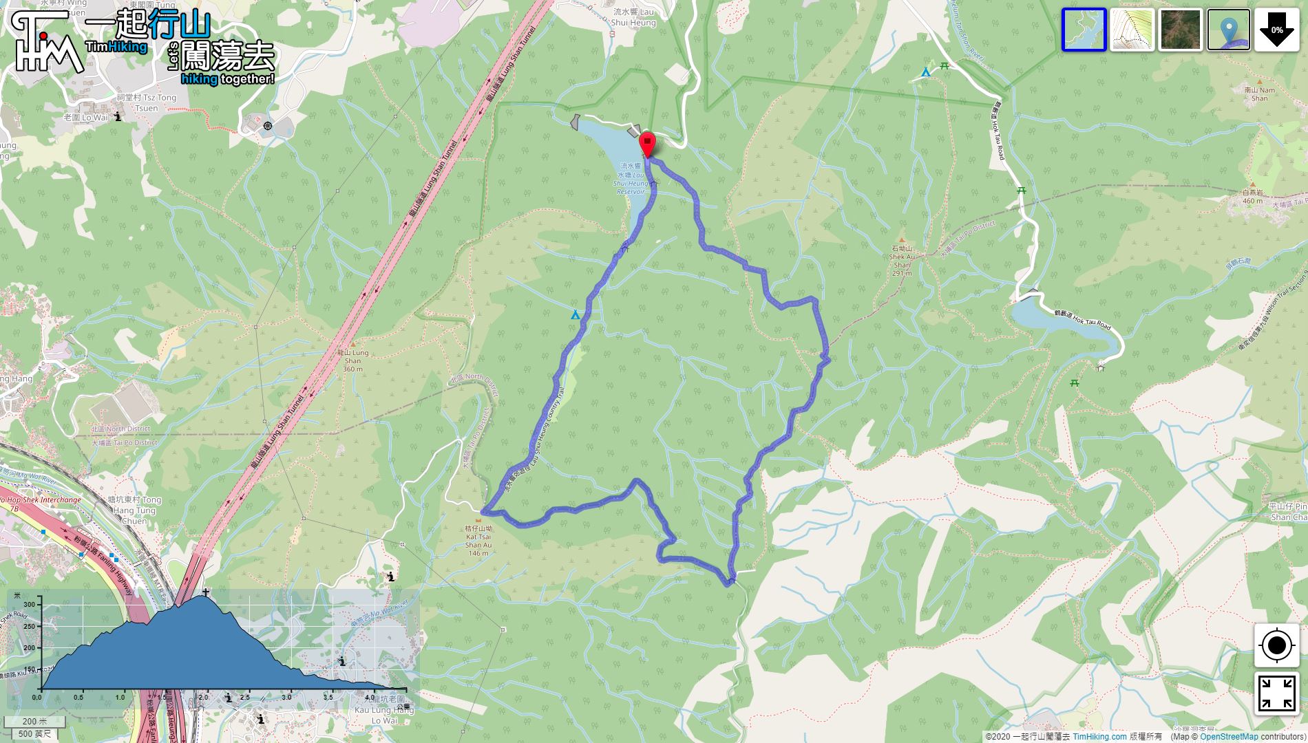
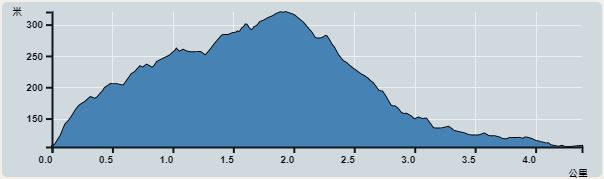 | |
| Ascent : 275m | Descent : 275m |
| Max : 320m | Min : 105m |
| (The accuracy of elevation is +/-30m) | |


One is to take the minibus 52B in Fanling, get off at the roundabout of Lau Shui Heung Reservoir;
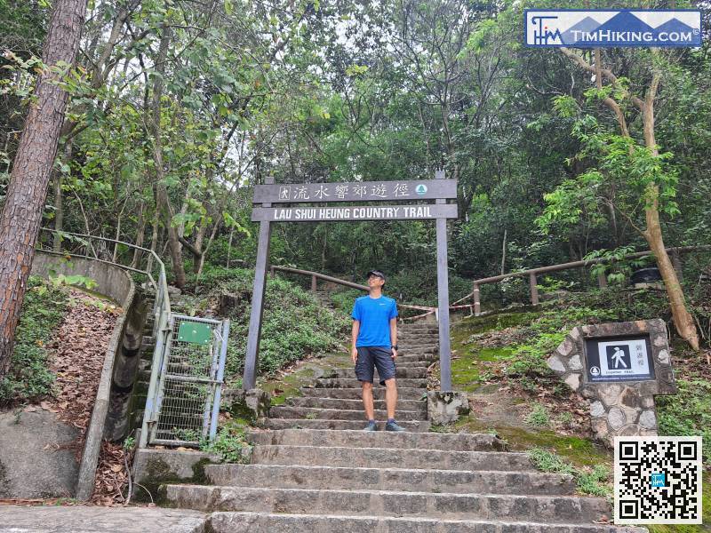
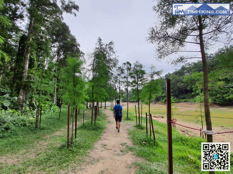
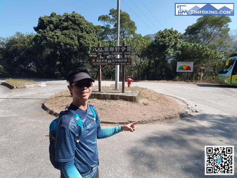
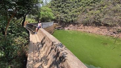
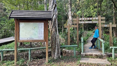
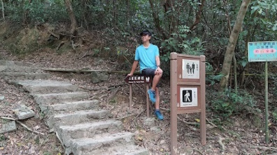
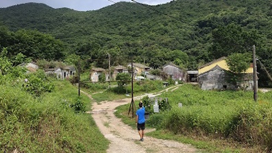
 7︰The location of the big archway is the start point and end point of Lau Shui Heung Country Trail. This time will go in clockwise.
The location of the big archway is the start point and end point of Lau Shui Heung Country Trail. This time will go in clockwise.
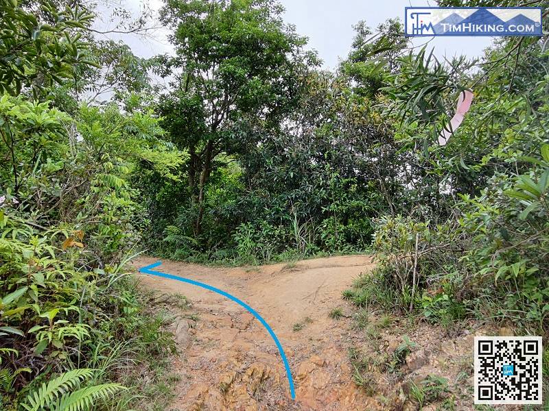
Next, pay attention to the two bifurcations, keep to the left at the first bifurcation
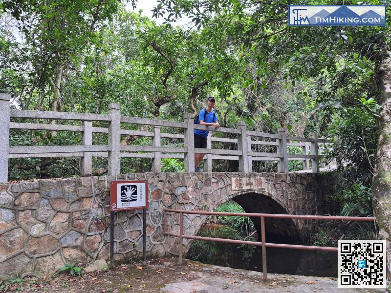
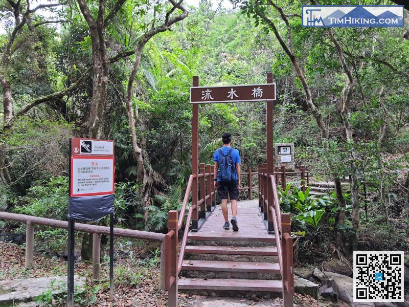
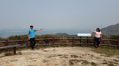
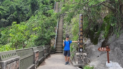
36︰the second bifurcation is to climb Cloudy Hill; the third bifurcation is to return to Lau Shui Heung Reservoir.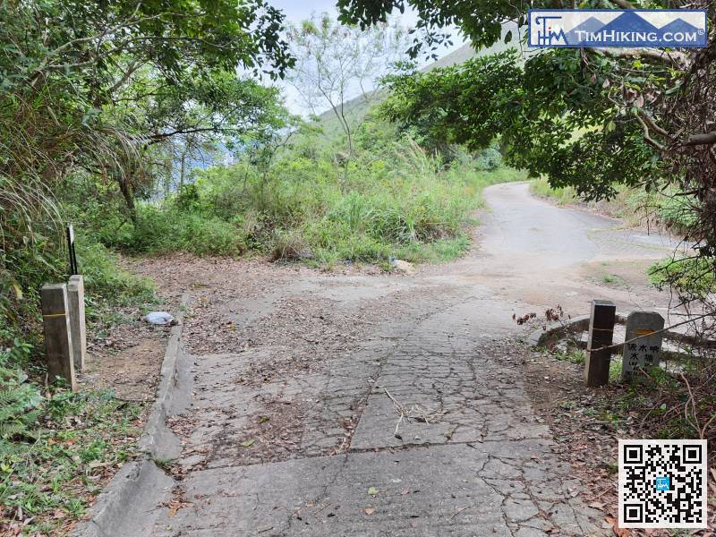 48︰Lung Shan Bridge is a beautiful small arch bridge.


