


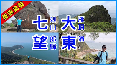
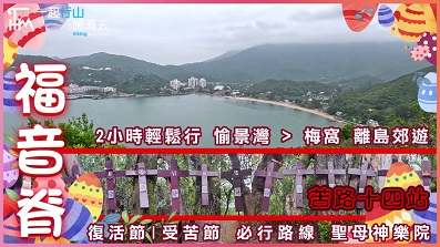
 Recommend YouTube

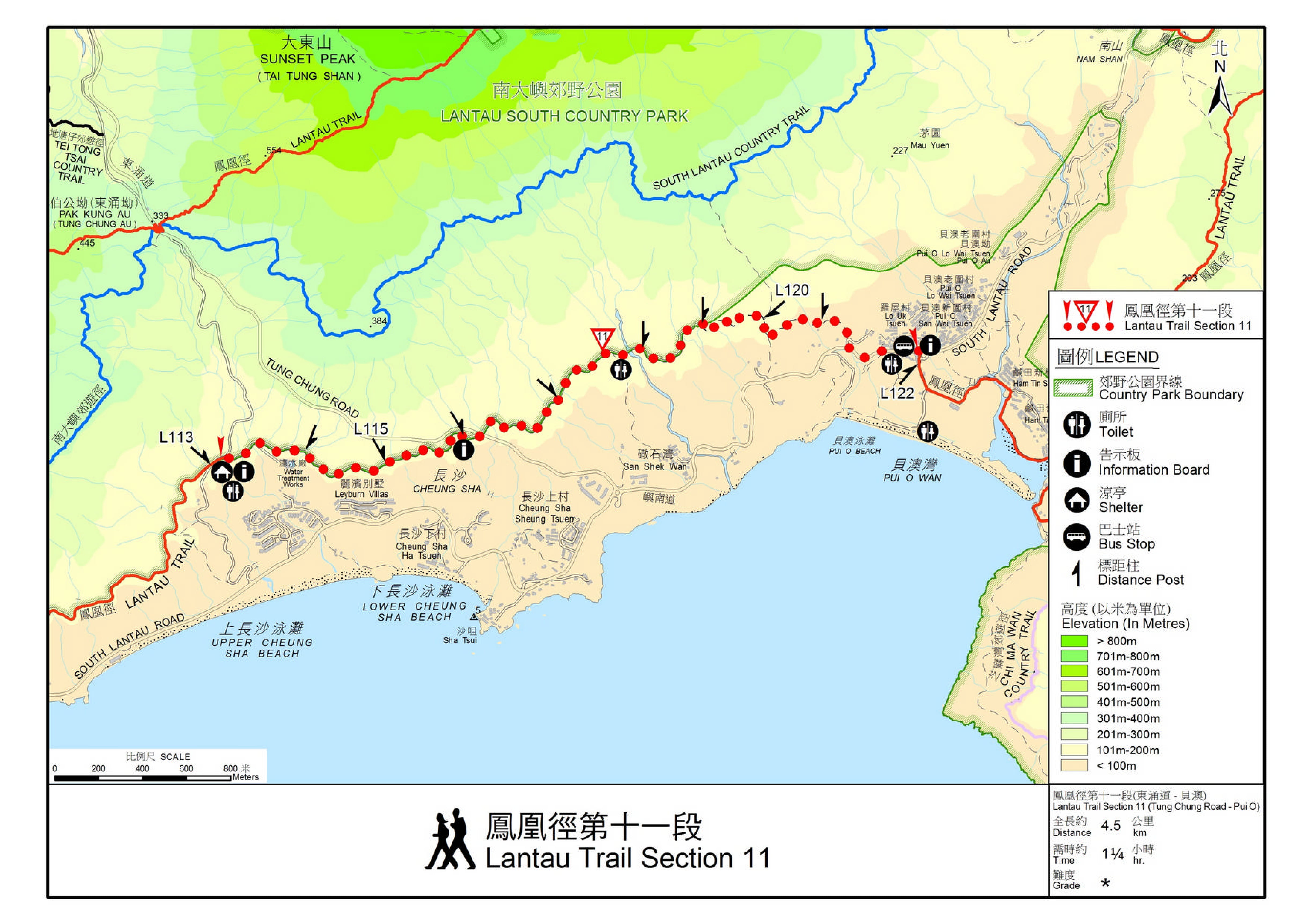
| View : |  | ||
| Difficulty : |  | ||
| Path : | |||
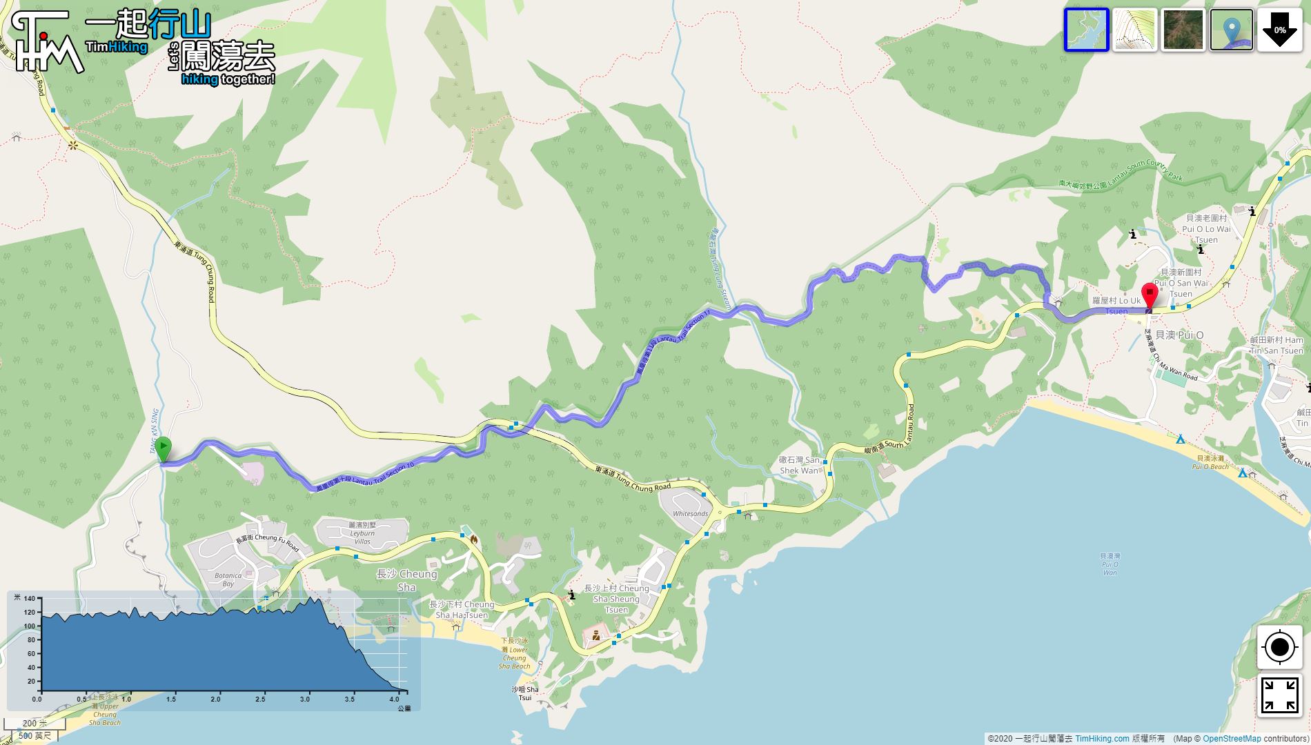
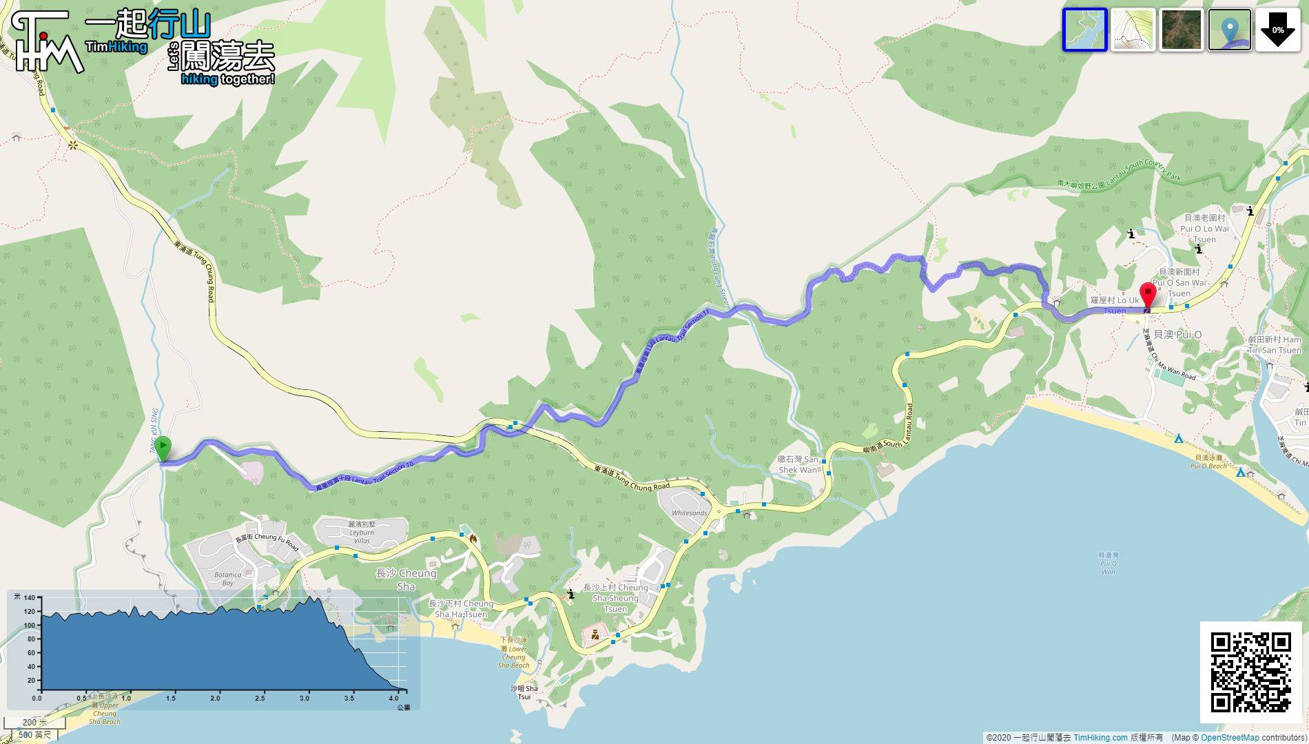
| Length : | 4.1km | ||
| Time : | 1¼hours | ||
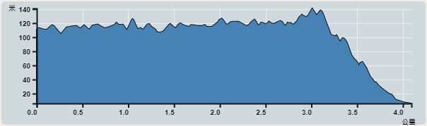 | |
| Ascent : 175m | Descent : 289m |
| Max : 141m | Min : 6m |
| (The accuracy of elevation is +/-30m) | |


Official Map


| View : | | ||
| Difficulty : | | ||
| Path : | |||
| Length : | 4.1km | ||
| Time : | 1¼hours | ||
| |
| Ascent : 175m | Descent : 289m |
| Max : 141m | Min : 6m |
| (The accuracy of elevation is +/-30m) | |
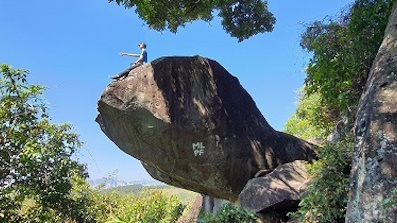
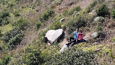
| Markk : | Tim sir, 會否試試在L120牌轉左上南嶼郊遊徑甚至青龍脊看看? (2022-04-19) |
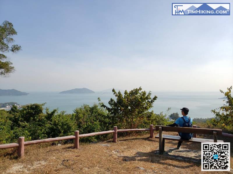
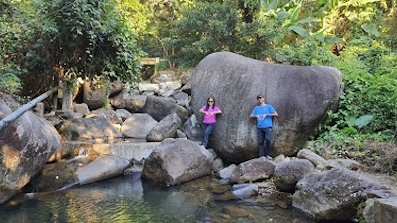
青龍脊由底上冇甚麼特別,只是要留意,青龍脊都有一定斜度。 (Tim Sir 2022-04-19) |

一起爬山闖蕩去 | timhiking | timhiking | timhiking | Message Board | Disclaimer


