


 Recommend YouTube


| View : |  | ||
| Difficulty : |  | ||
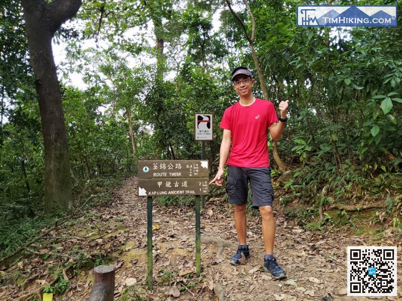
| Path : | |||
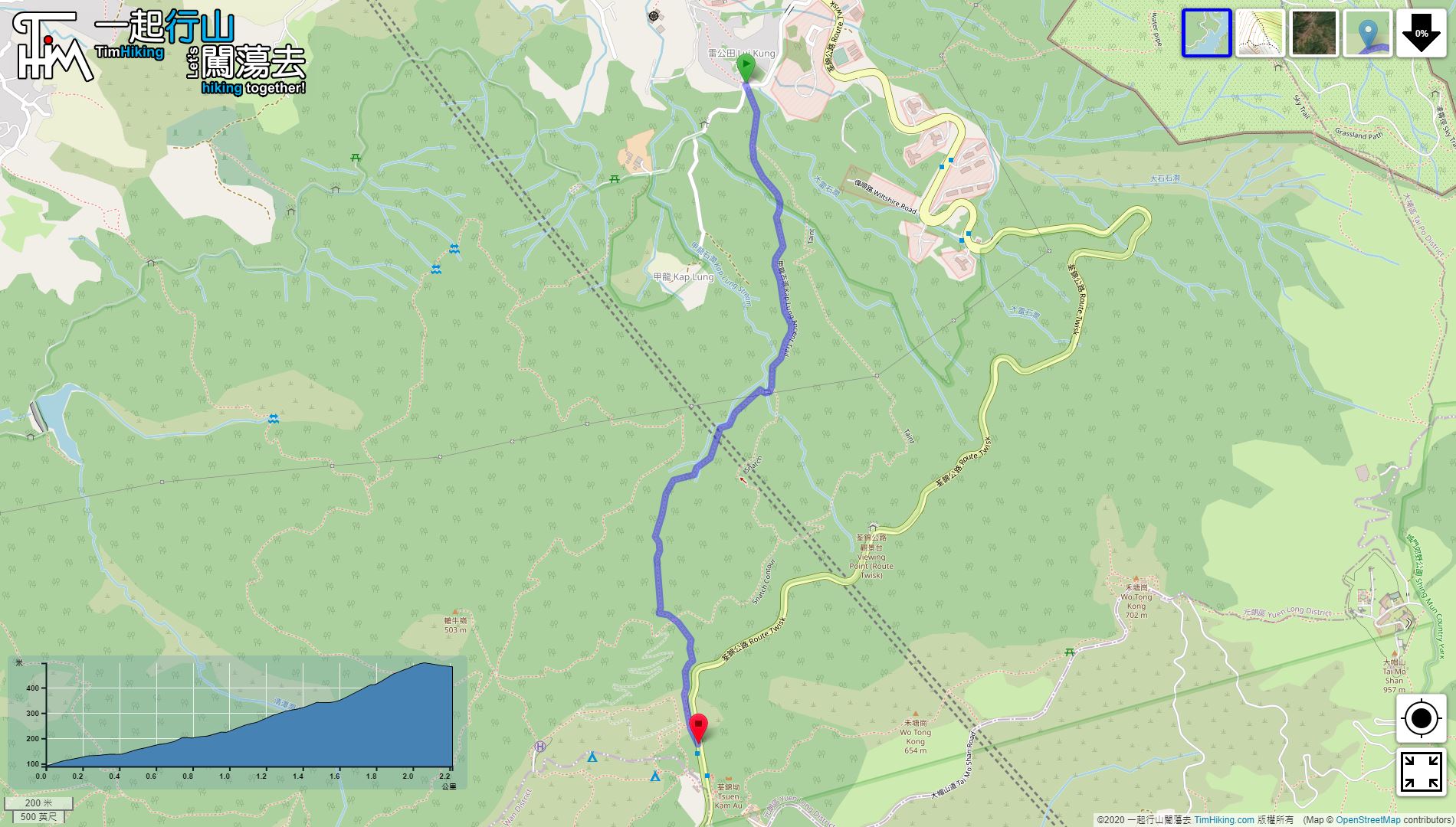
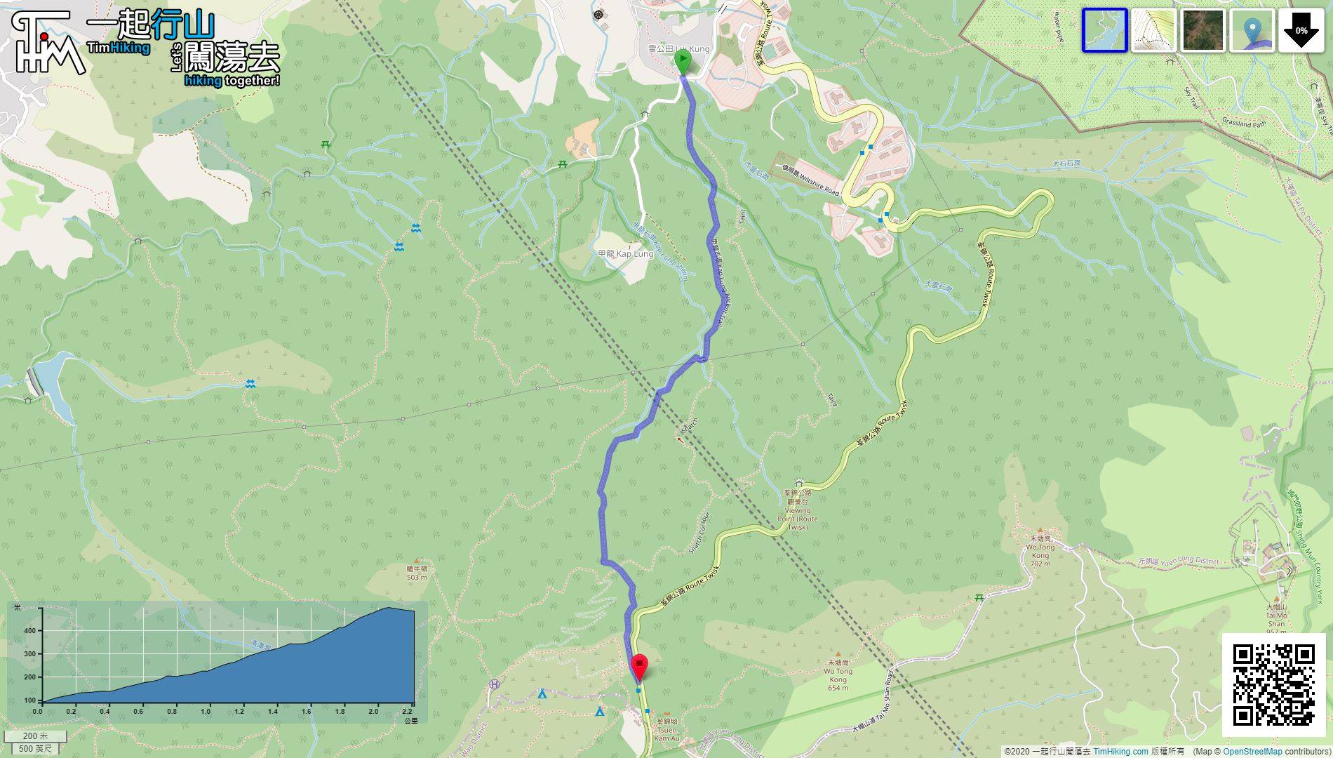
| Length : | 1.9km | ||
| Time : | 1hours | ||
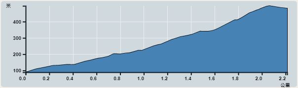 | |
| Ascent : 332m | Descent : 4m |
| Max : 421m | Min : 89m |
| (The accuracy of elevation is +/-30m) | |


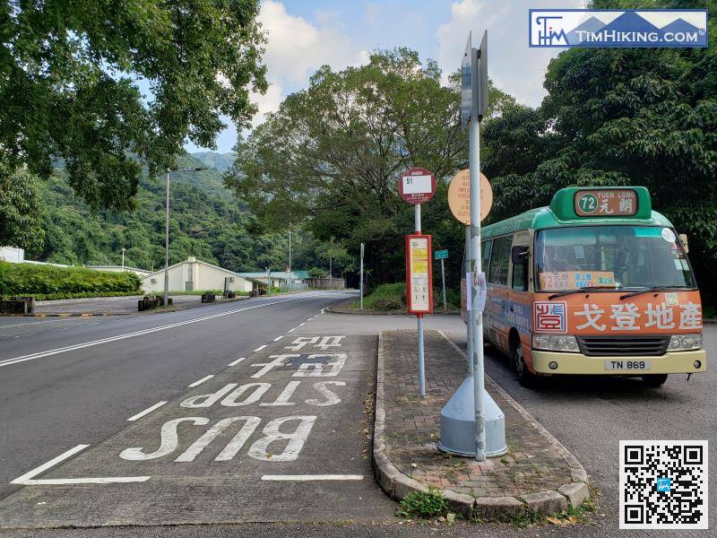
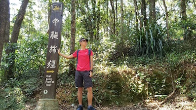
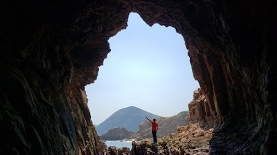
This time, start at Liu Kung Tin, can take minibus 72 in Yuen Long.

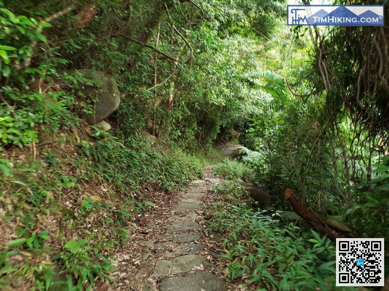

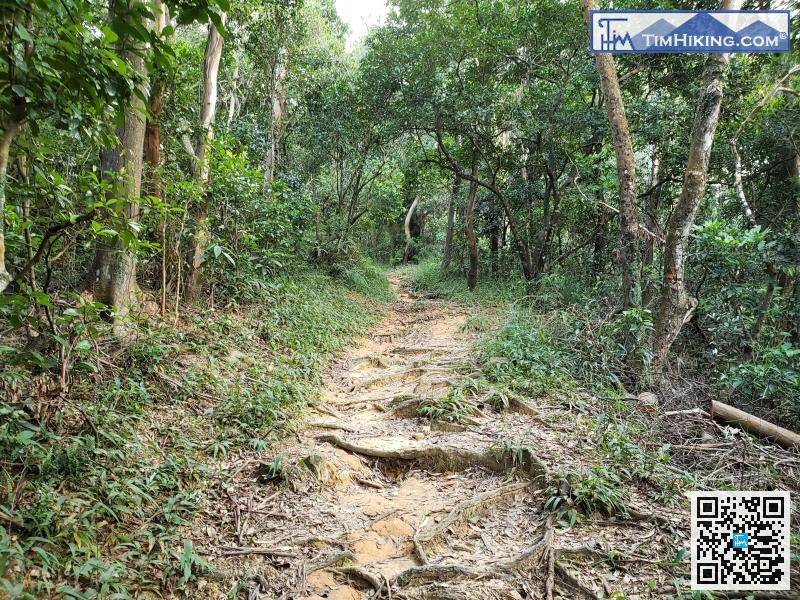
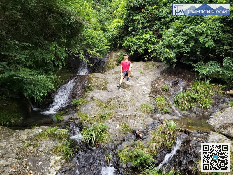
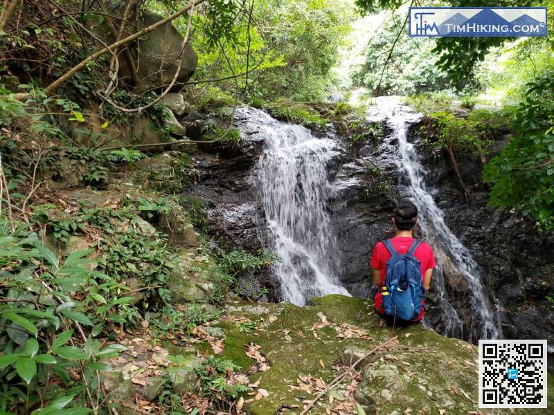
The first section is still the roots of the mountain trail..


