


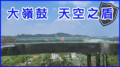
 Recommend YouTube
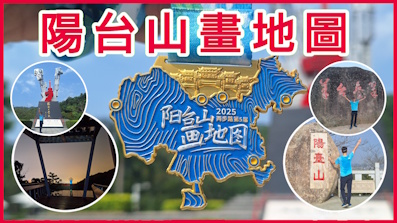

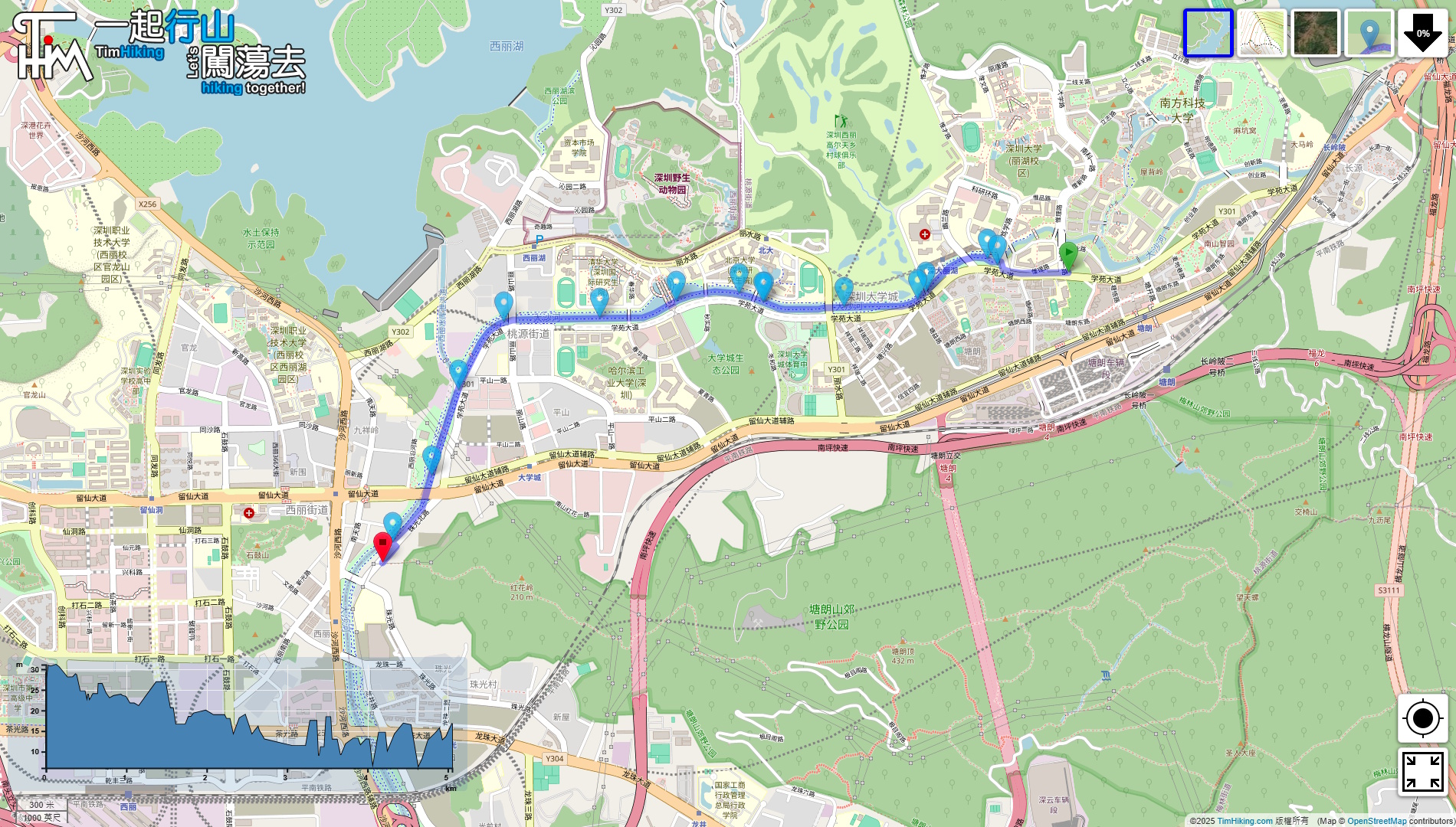

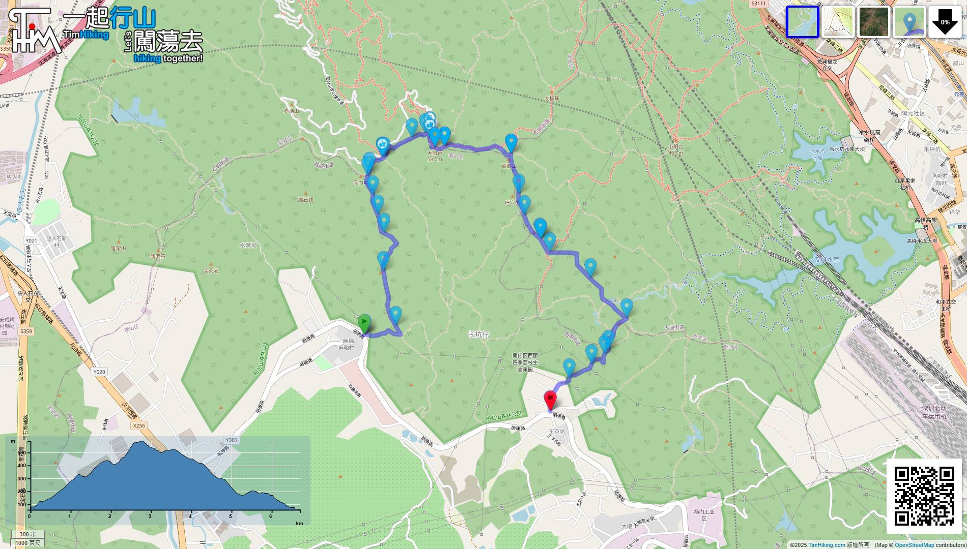
| View : |  | ||
| Difficulty : |  | ||
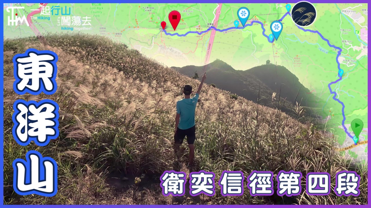
| Path : | |||
| Length : | 5.1km | ||
| Time : | 1½hours | ||
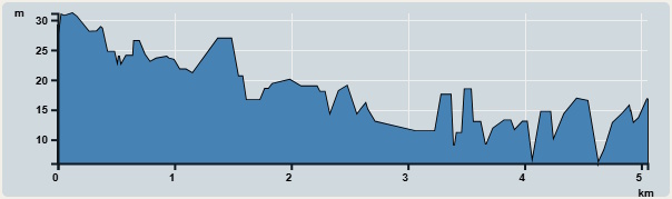 | |
| Ascent : 25m | Descent : 25m |
| Max : 31m | Min : 6m |
| (The accuracy of elevation is +/-30m) | |

 Self-service vending machines
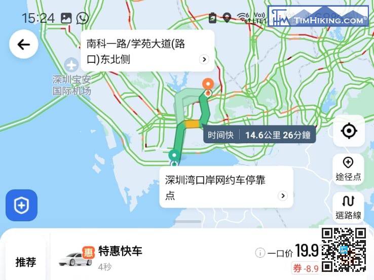
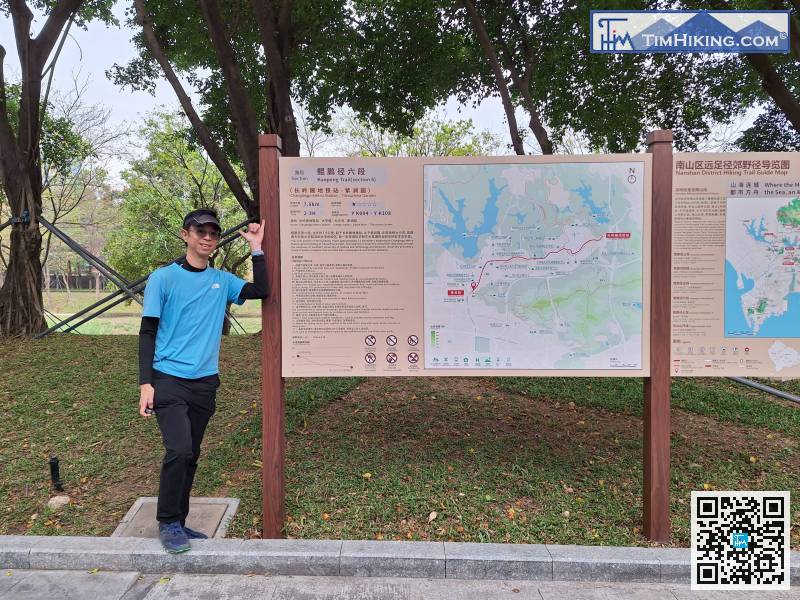
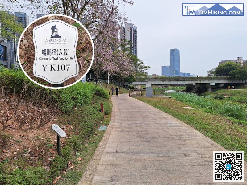
The starting point is near Gate 7 of South University of Science and Technology. If you take a taxi, you can enter the destination 'Nanke 1st Road/Northeast side of Xueyuan Avenue (南科一路/學苑大道(路口)東北側)'.
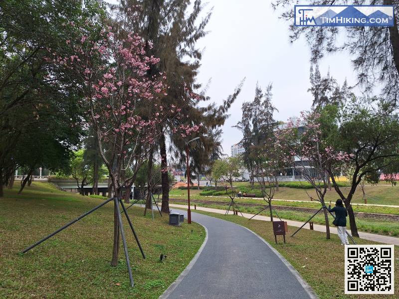
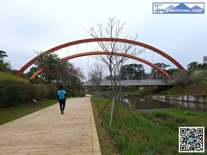
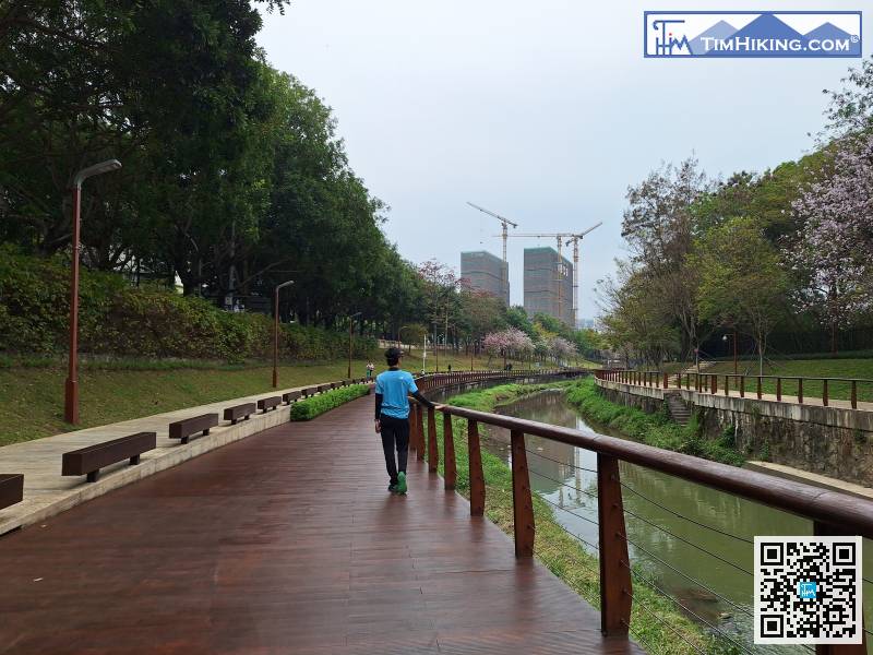
The cherry trees that greet you at the entrance are from Guangzhou Sakura.
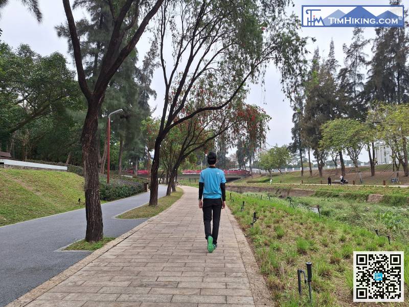
After a while, we arrived at the university town. On the right was Peking University.


