


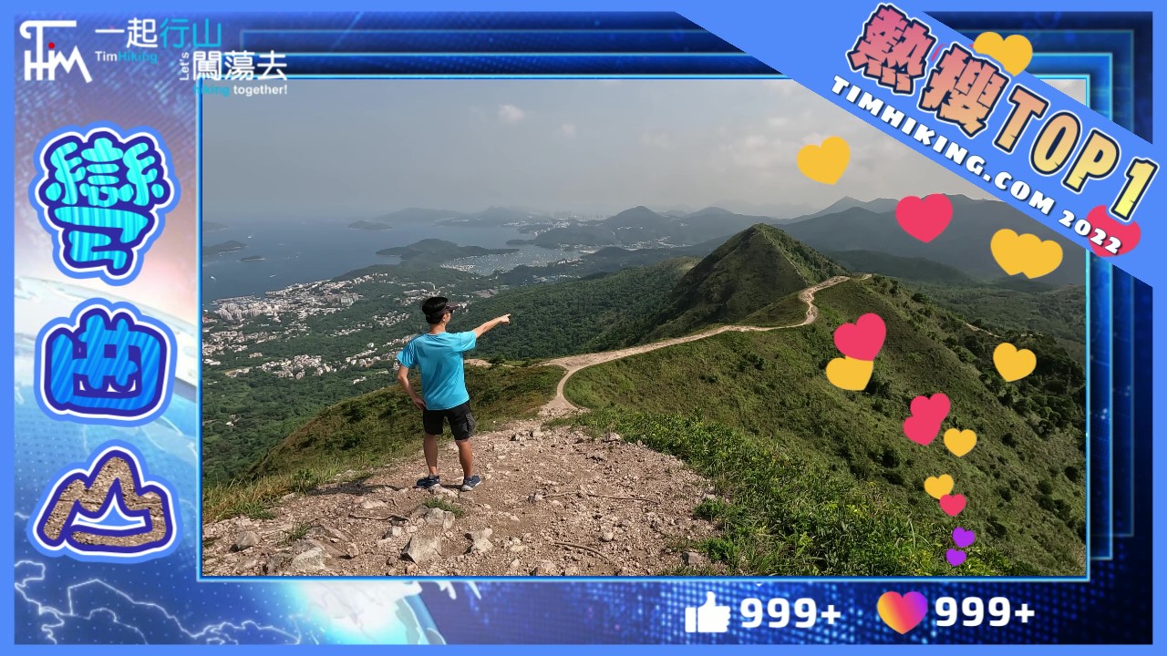
 Recommend YouTube


| View : |  | ||
| Difficulty : |  | ||
 (skip Fan Lau Lighthouse) | |||
| Path : | |||
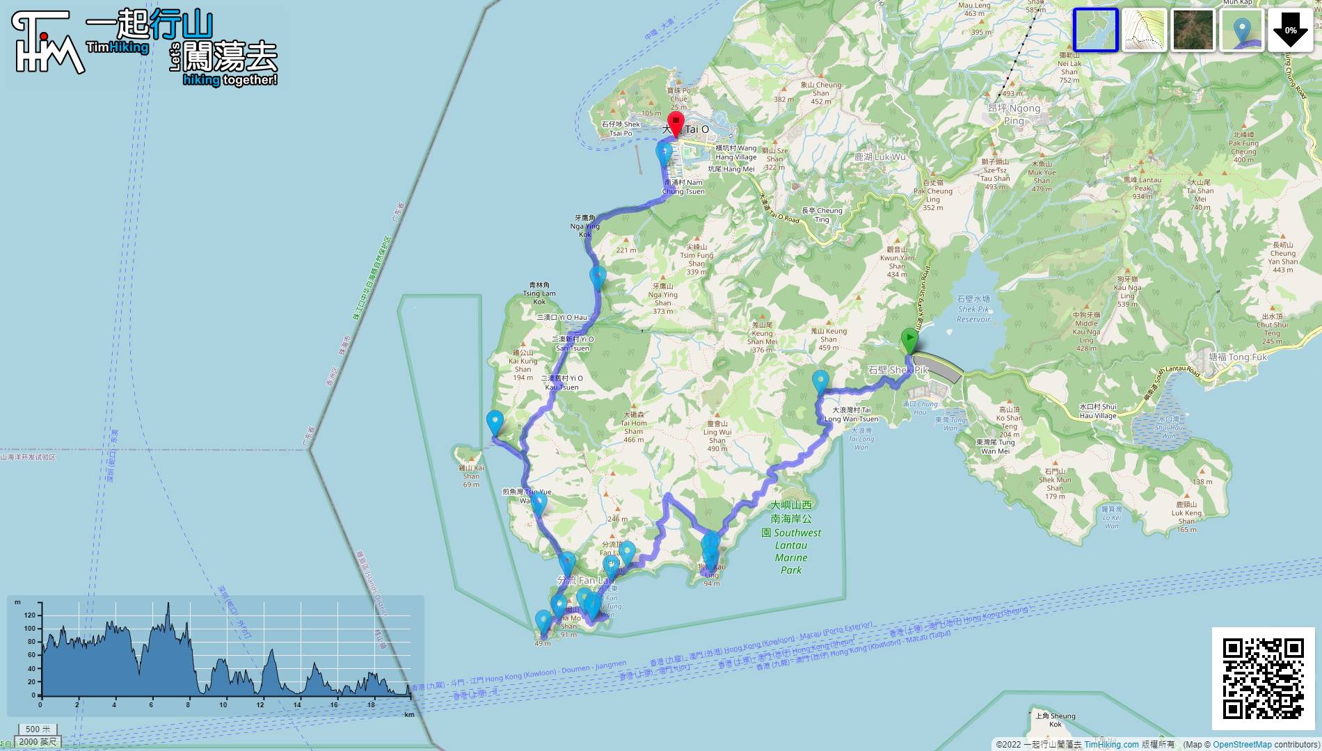
| Length : | 20km | ||
| Time : | 8hours | ||
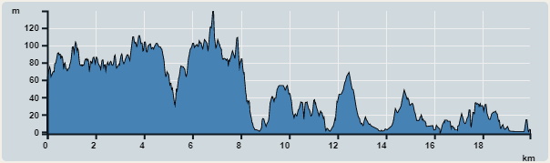 | |
| Ascent : 1,075m | Descent : 1,116m |
| Max : 140m | Min : 0m |
| (The accuracy of elevation is +/-30m) | |

 Tung Wan Store Sai Wan Store
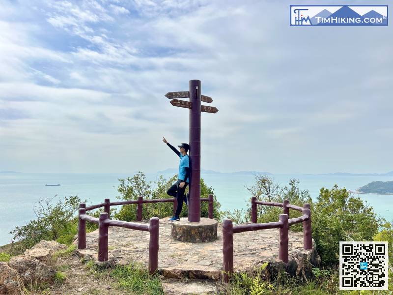
 38︰The end is Kau Ling Chung Viewing Point.
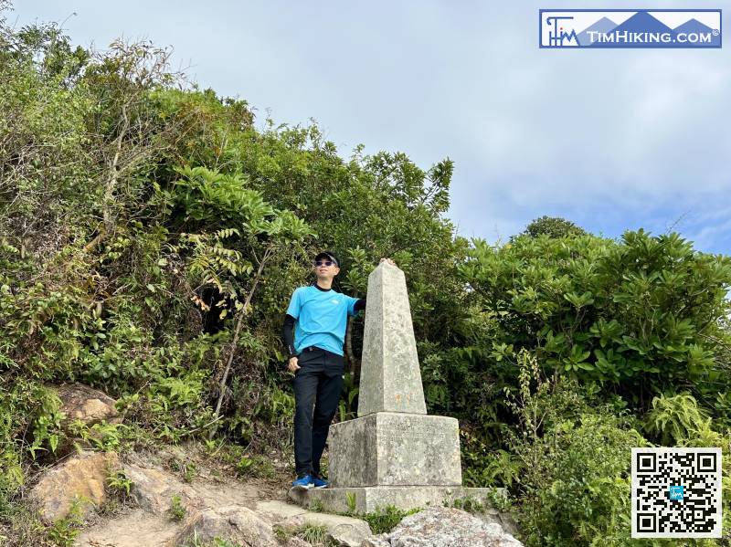
The South Lantau Obelisk is not too high, only about the height of a person. It is the boundary stele that ceded the land of the New Territories to the United Kingdom in the past.
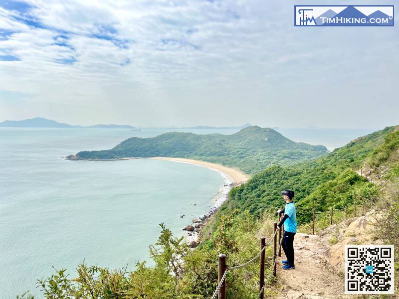
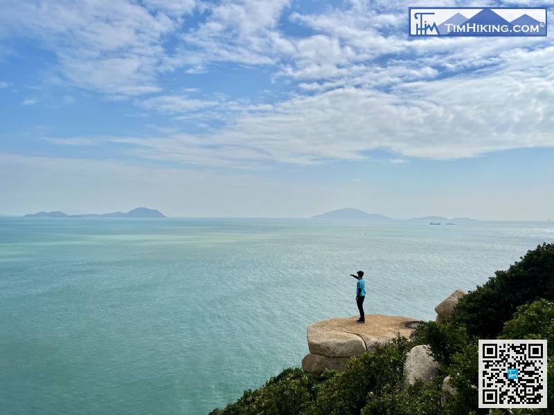
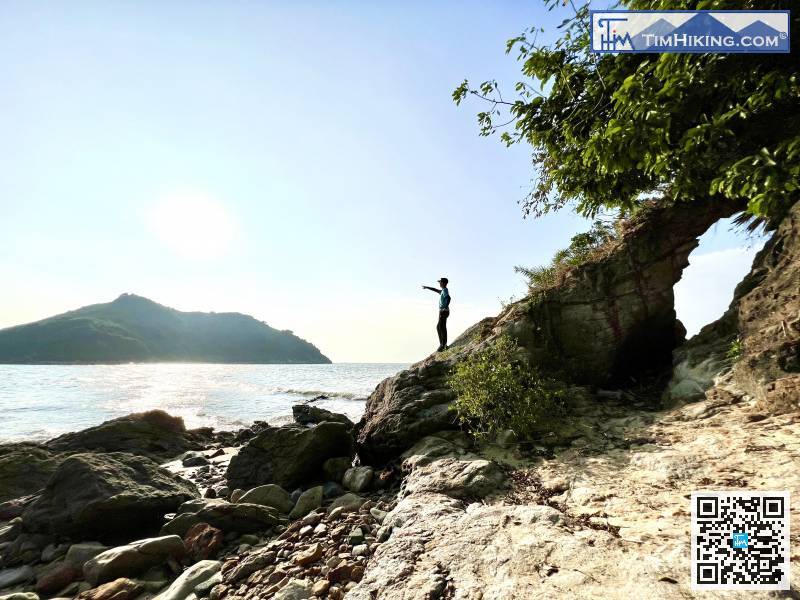
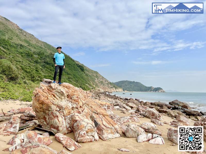
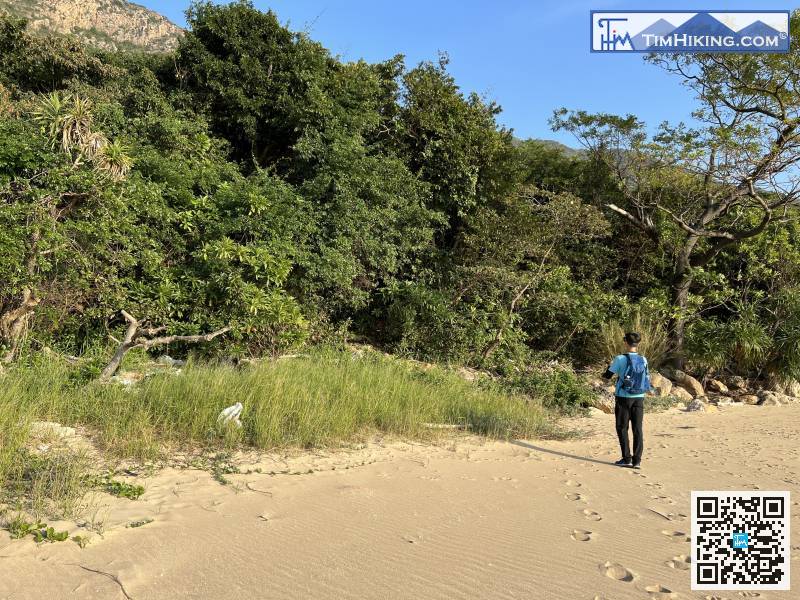
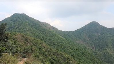
54︰and can see the perfect arc of Fan Lau Tung Wan, plus the natural scenery of Fan Lau. The scene, the meeting of the muddy yellow river water and the blue sea water is really picturesque.
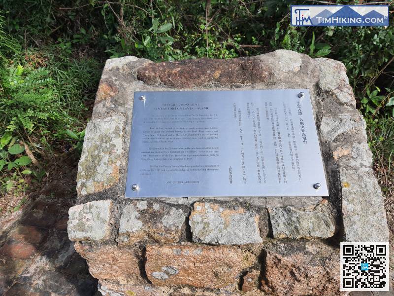
Fan Lau Fort is a declared monument, also known as Peaked Hill Fort and Stalagmite Fort, located on the highland of 70 meters high on the Fan Lau Peninsula.
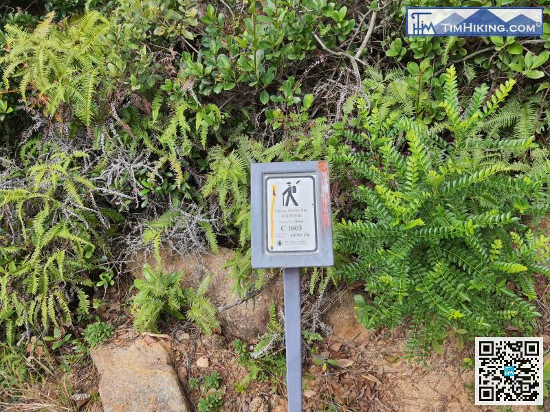
After visiting the Fan Lau Fort, continue along the Fan Lau Country Trail. The distance post is C1603.
93︰When you go to the end, you will see Fan Lau Lighthouse.
A slope on the right side of the line
Go back to the intersection of Tsin Yue Wan,


