


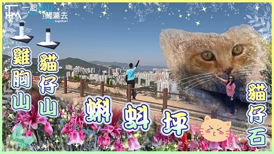
 Recommend YouTube


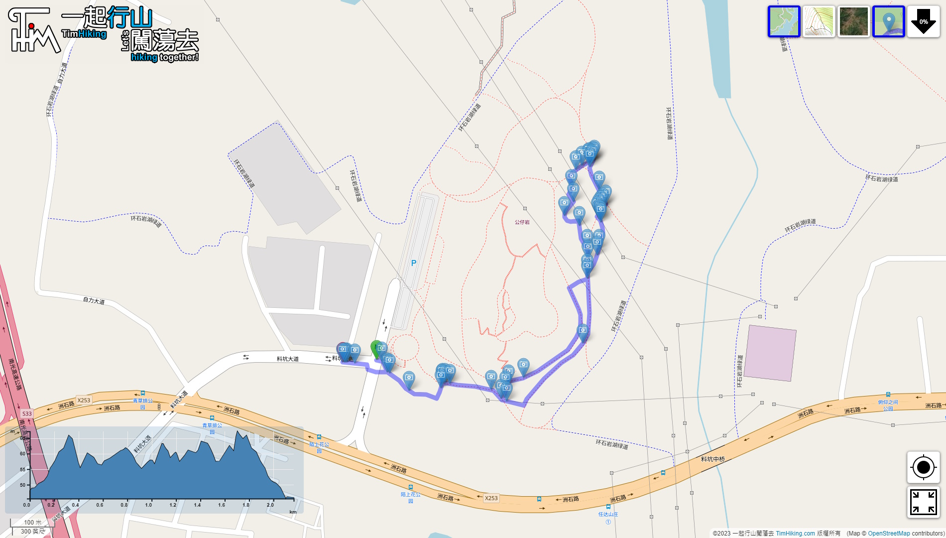

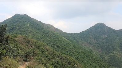
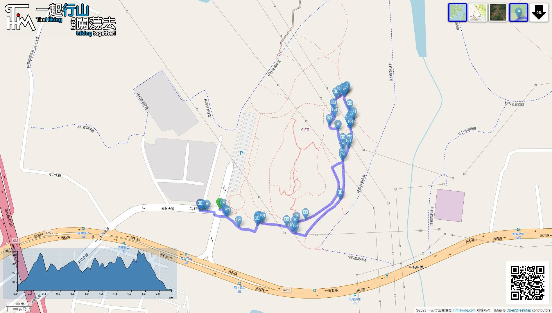
| View : |  | ||
| Difficulty : |  | ||
| Path : | |||
| Length : | 2.2km | ||
| Time : | 1hours | ||
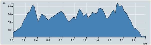 | |
| Ascent : 50m | Descent : 60m |
| Max : 67m | Min : 46m |
| (The accuracy of elevation is +/-30m) | |

 self-service vending machine
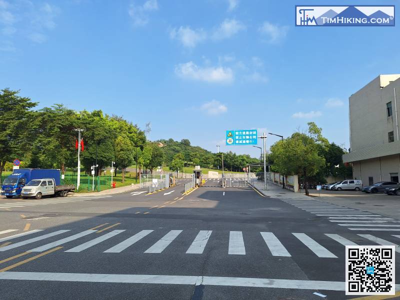
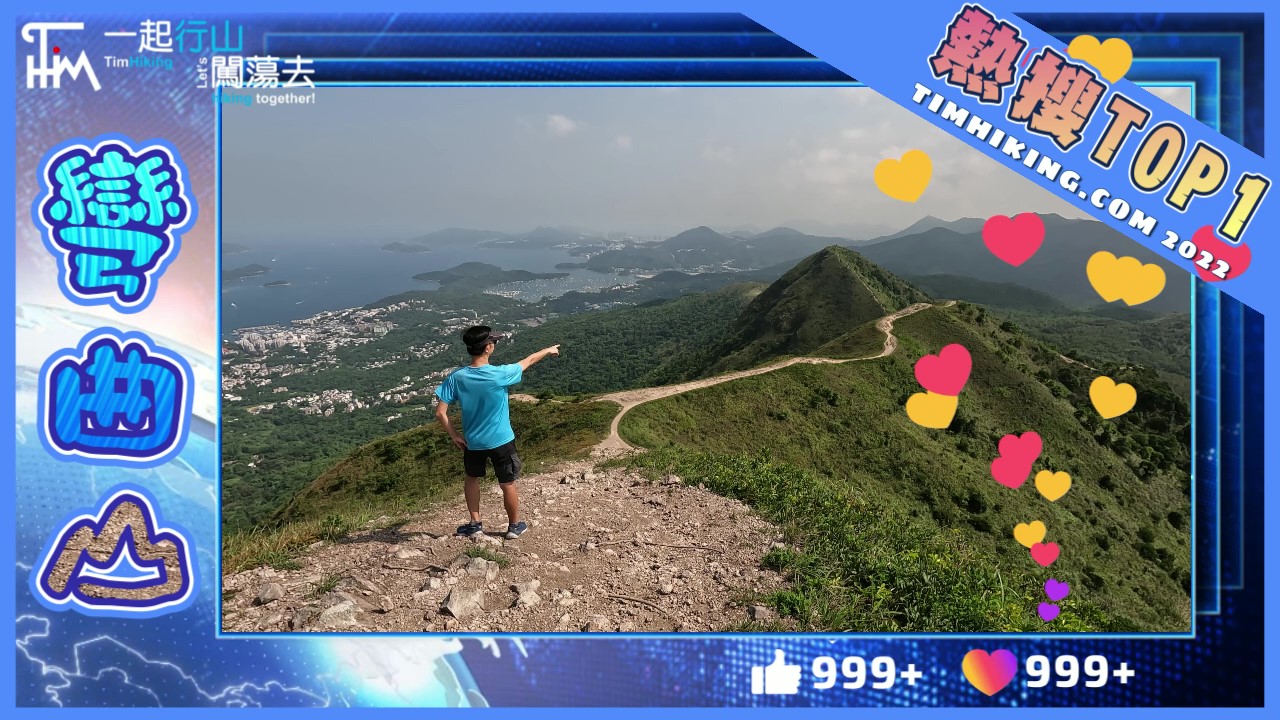
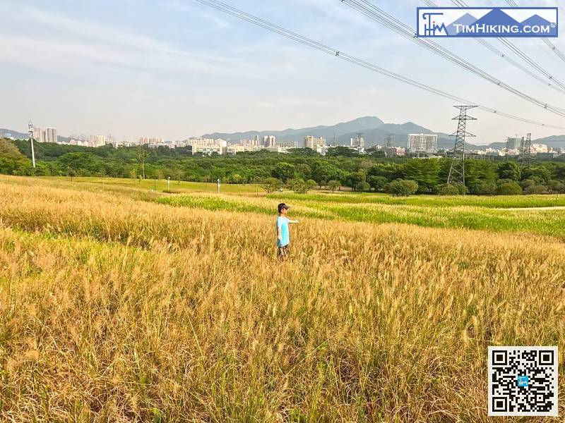
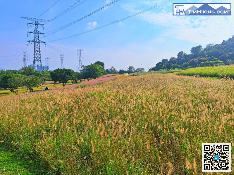
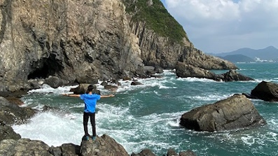
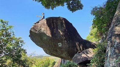
The location where you get off the taxi is the main entrance of Moshanghua Park.
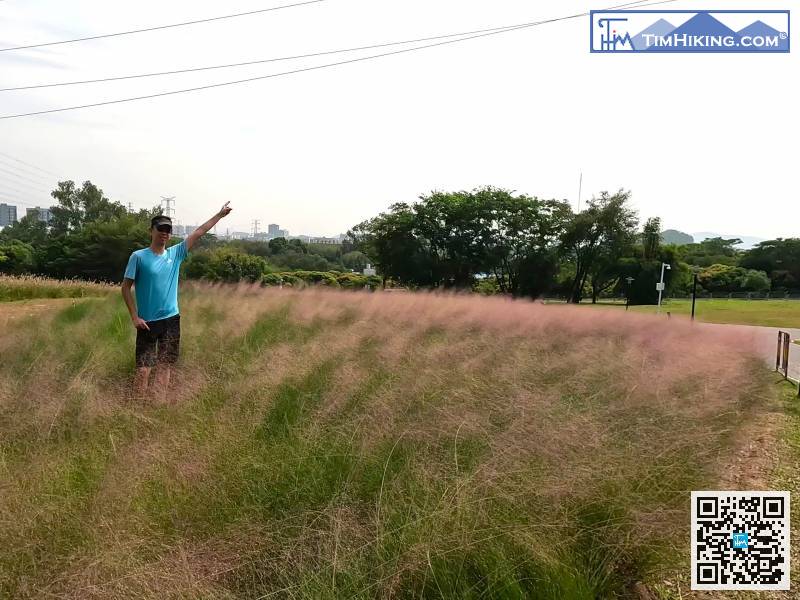
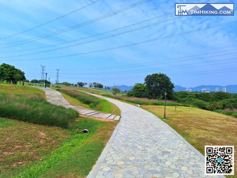
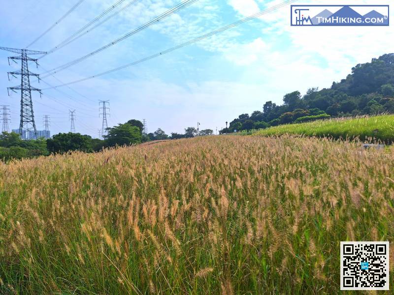
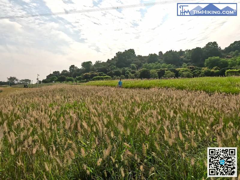
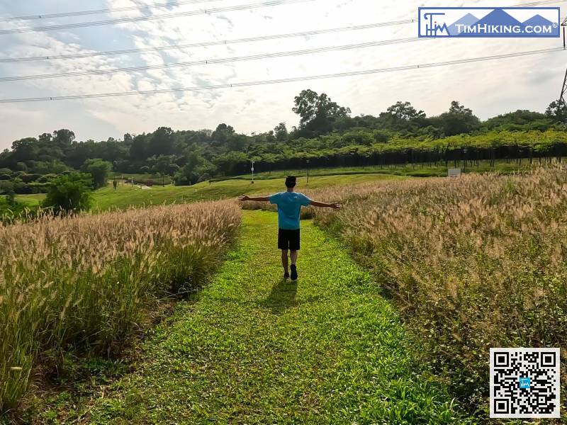
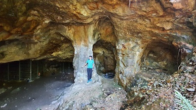
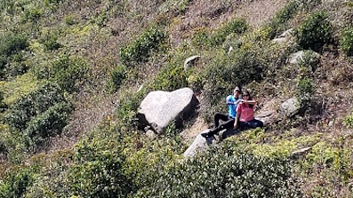
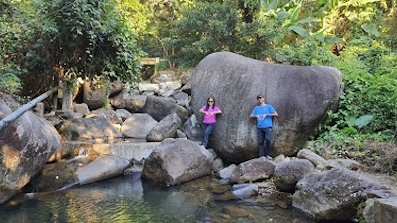
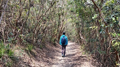
And I chose to go back the way I came, and once again entered this almost deserted wonderland.


