


 Recommend YouTube


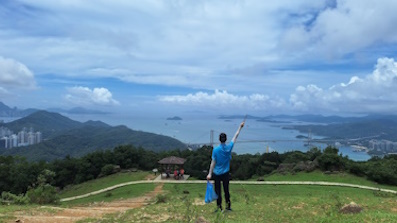
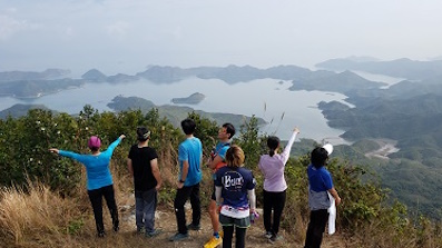
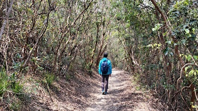
| View : |  | ||
| Difficulty : |  | ||
| Path : | |||
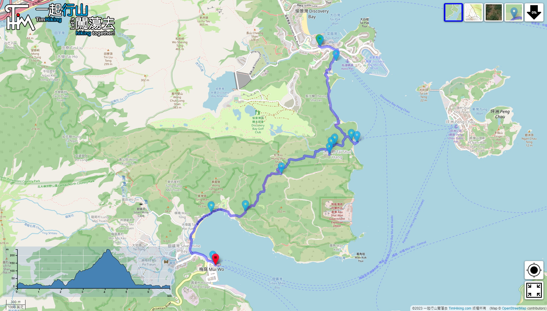
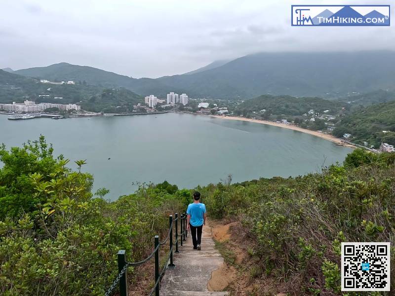
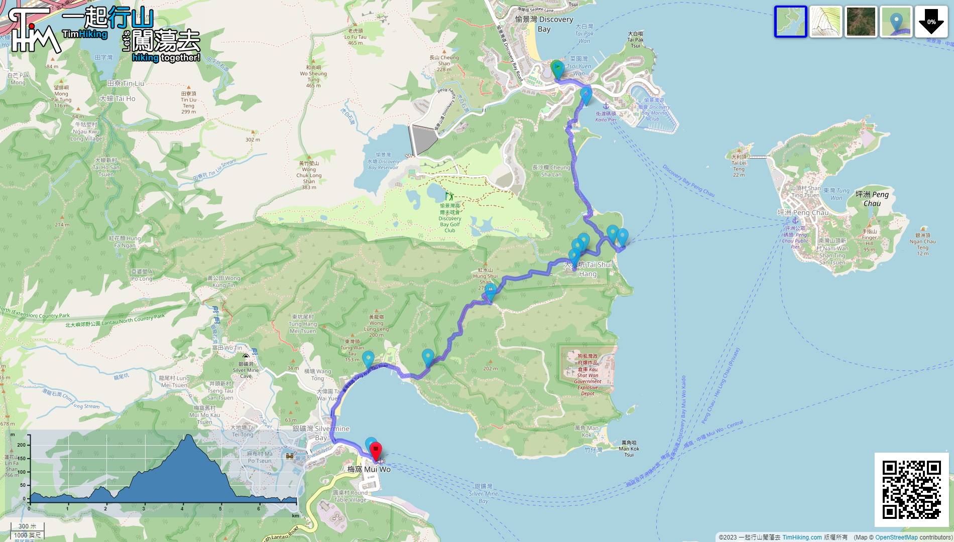
| Length : | 7km | ||
| Time : | 2hours | ||
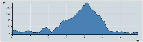 | |
| Ascent : 370m | Descent : 380m |
| Max : 239m | Min : 0m |
| (The accuracy of elevation is +/-30m) | |


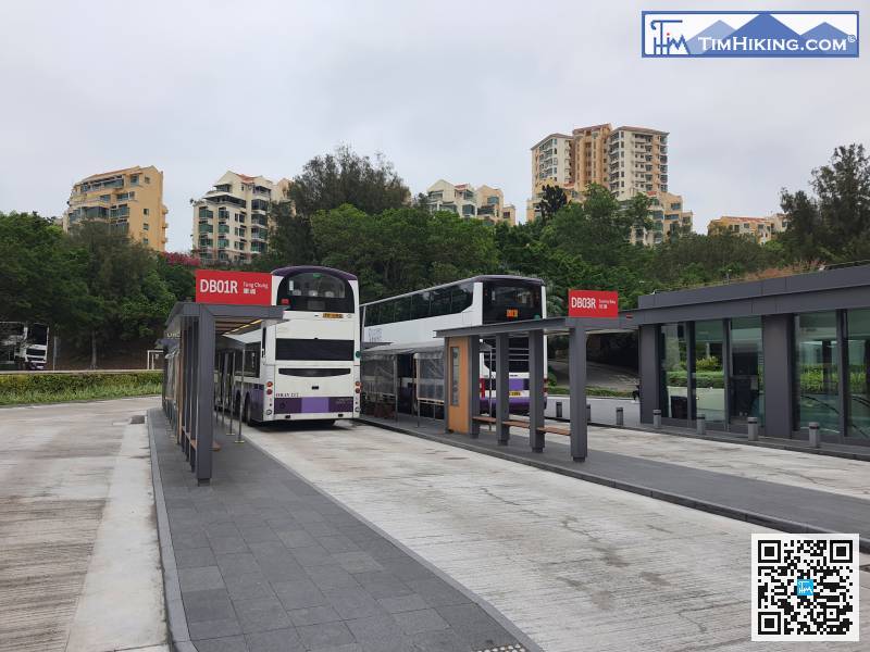
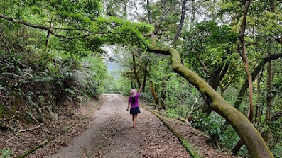
The starting point is at Discovery Bay. You can take the Discovery Bay ferry, or take the bus DB03R at Sunny Bay Station and get off at Discovery Bay Bus Terminal.
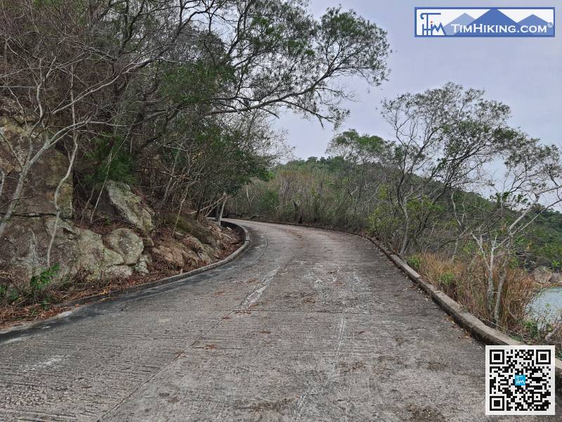
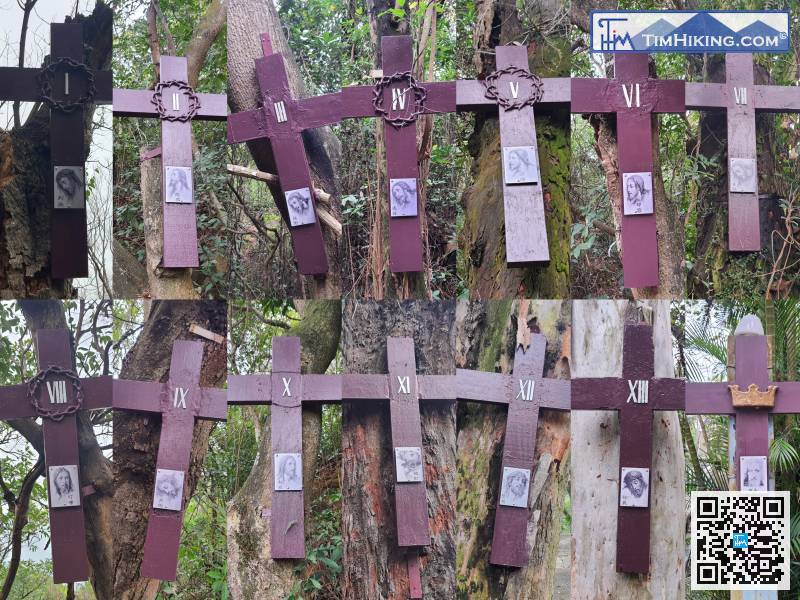
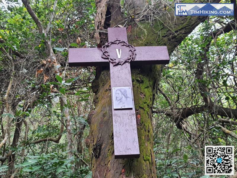
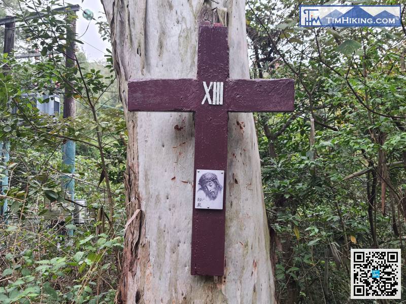
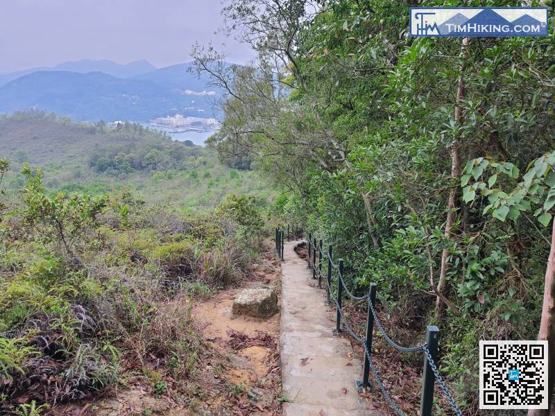
This is Gospel Ridge, a name that has only been acquired in recent years, and it is also the starting point of the 14 Stations of the Cross.
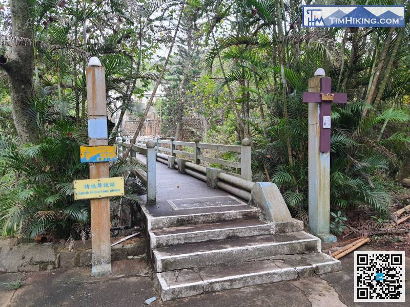
Go forward a little bit, there is the Bridge of Our Lady of Perpetual Help.
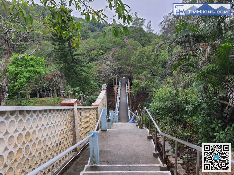
Along the bridge of Notre Dame of Perpetual Help,


