


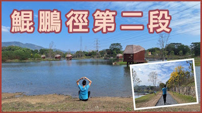
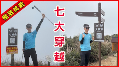
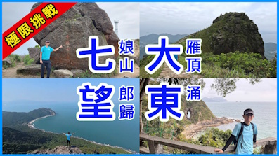
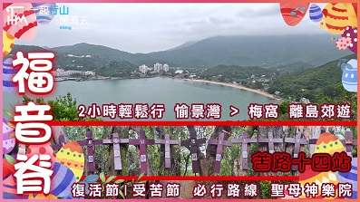
 Recommend YouTube


| View : |  | ||
| Difficulty : |  | ||
| Path : | |||
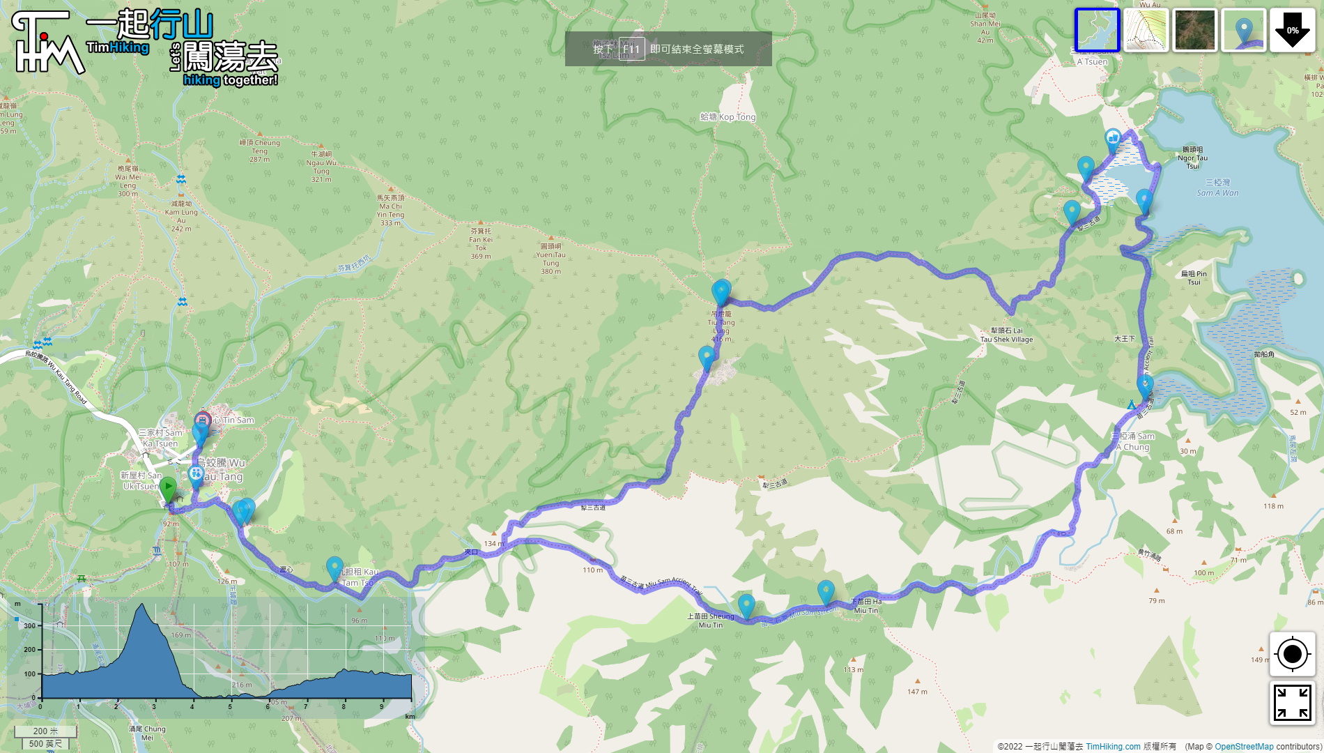
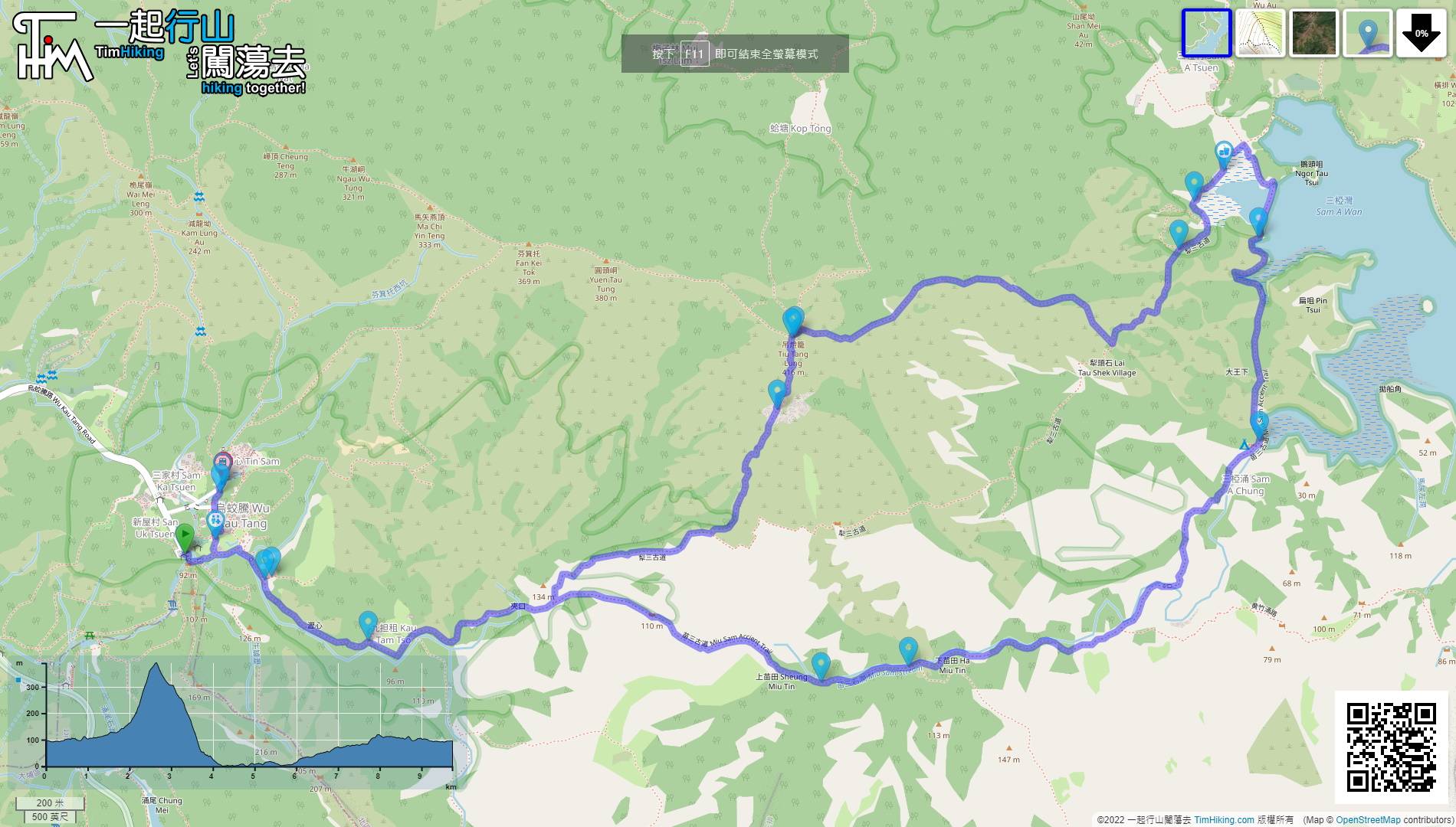
| Length : | 9.8km | ||
| Time : | 5hours | ||
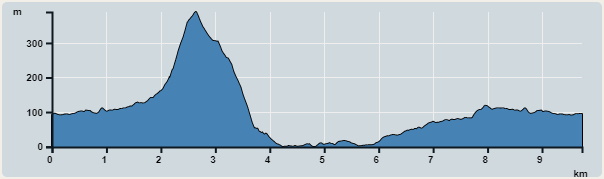 | |
| Ascent : 528m | Descent : 523m |
| Max : 390m | Min : 0m |
| (The accuracy of elevation is +/-30m) | |


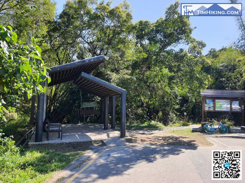
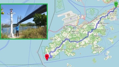
 Sam A Tsuen Store
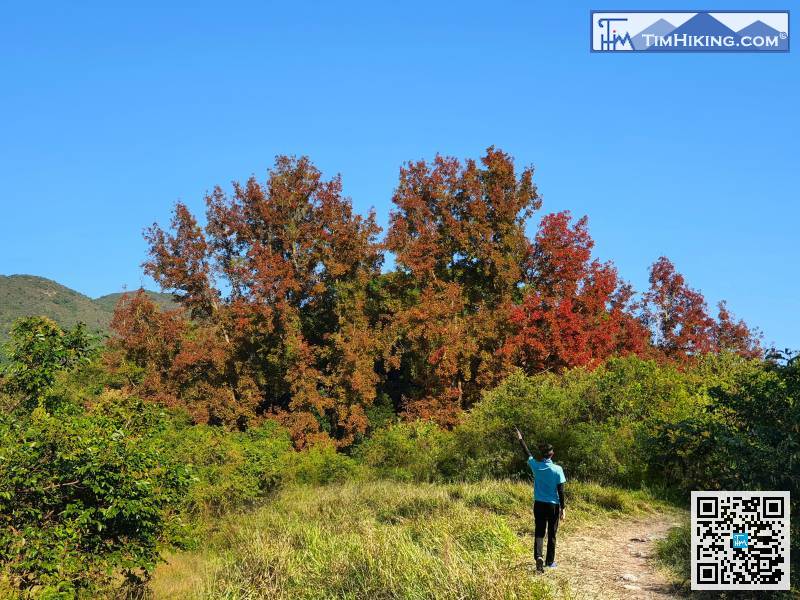
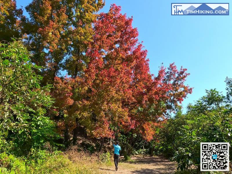
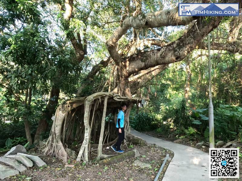
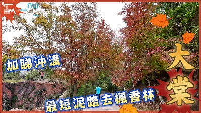
 11︰look left and you will see the Giant of Wu Kau Tang Sweet Gum Woods,
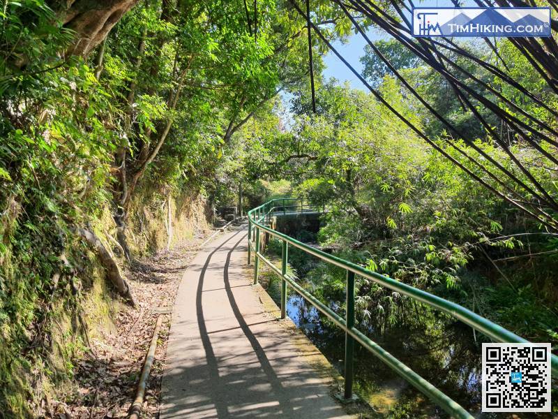
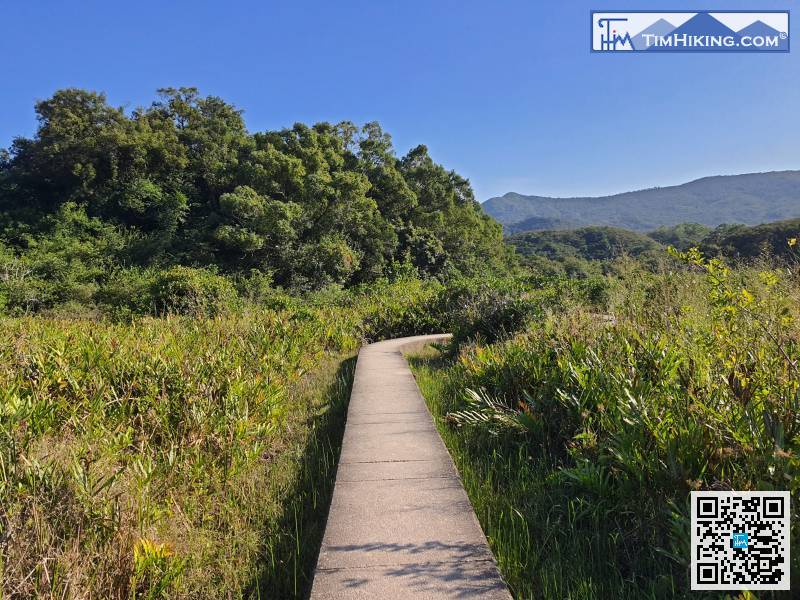
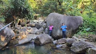
This section of road is located next to a stream, with a lot of shade,
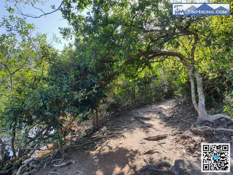
33︰At the closest position, pay attention to the fork on the left-hand side,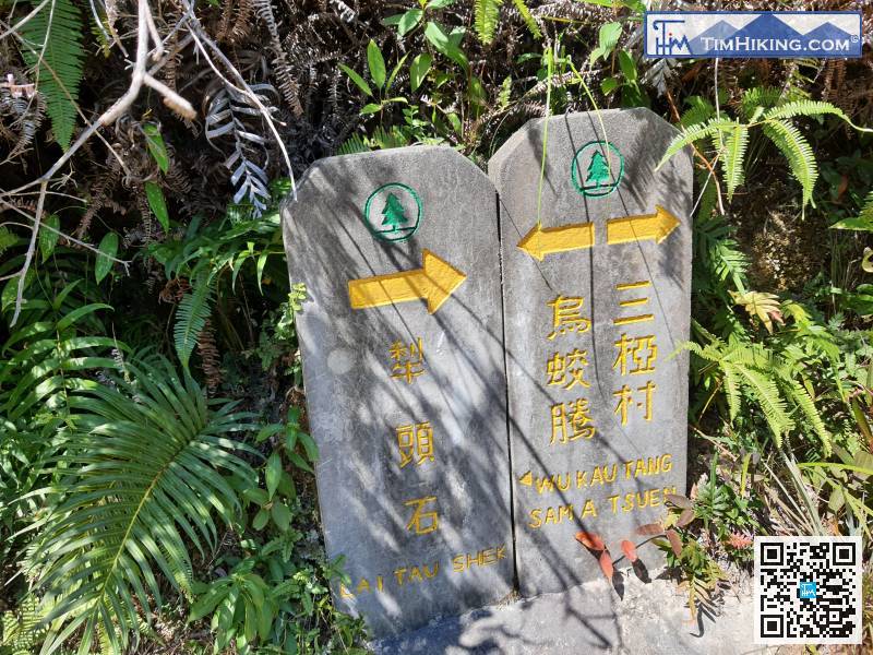
Here you will find an old stone monument road sign similar to Pat Sin Leng.
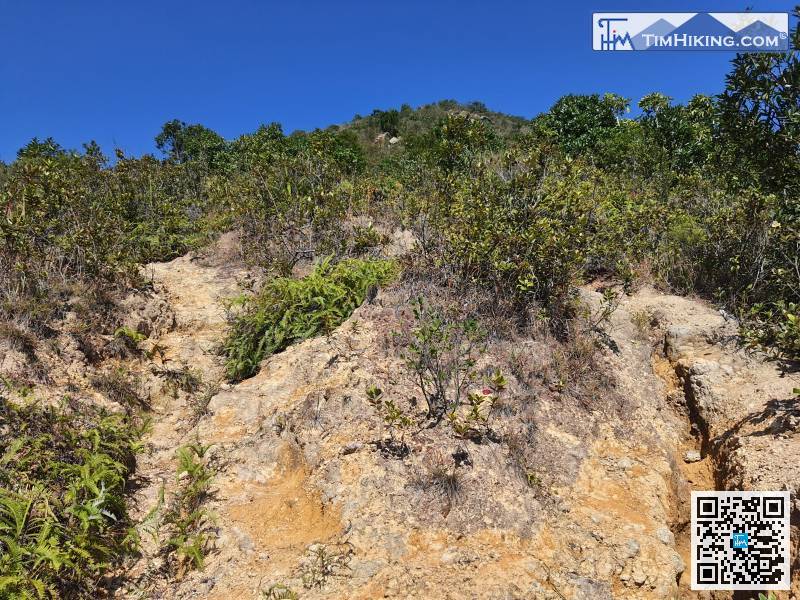
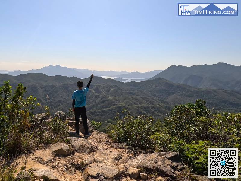
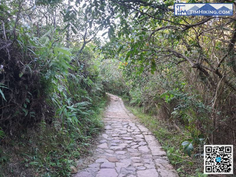
The road to Tiu Tang Lung in the middle section is the most rugged. There are many roads that lead to the same goal.
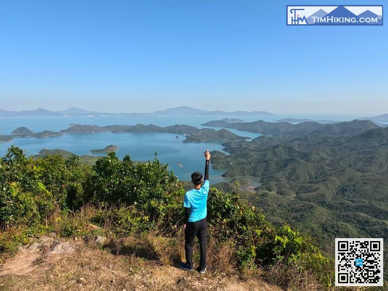
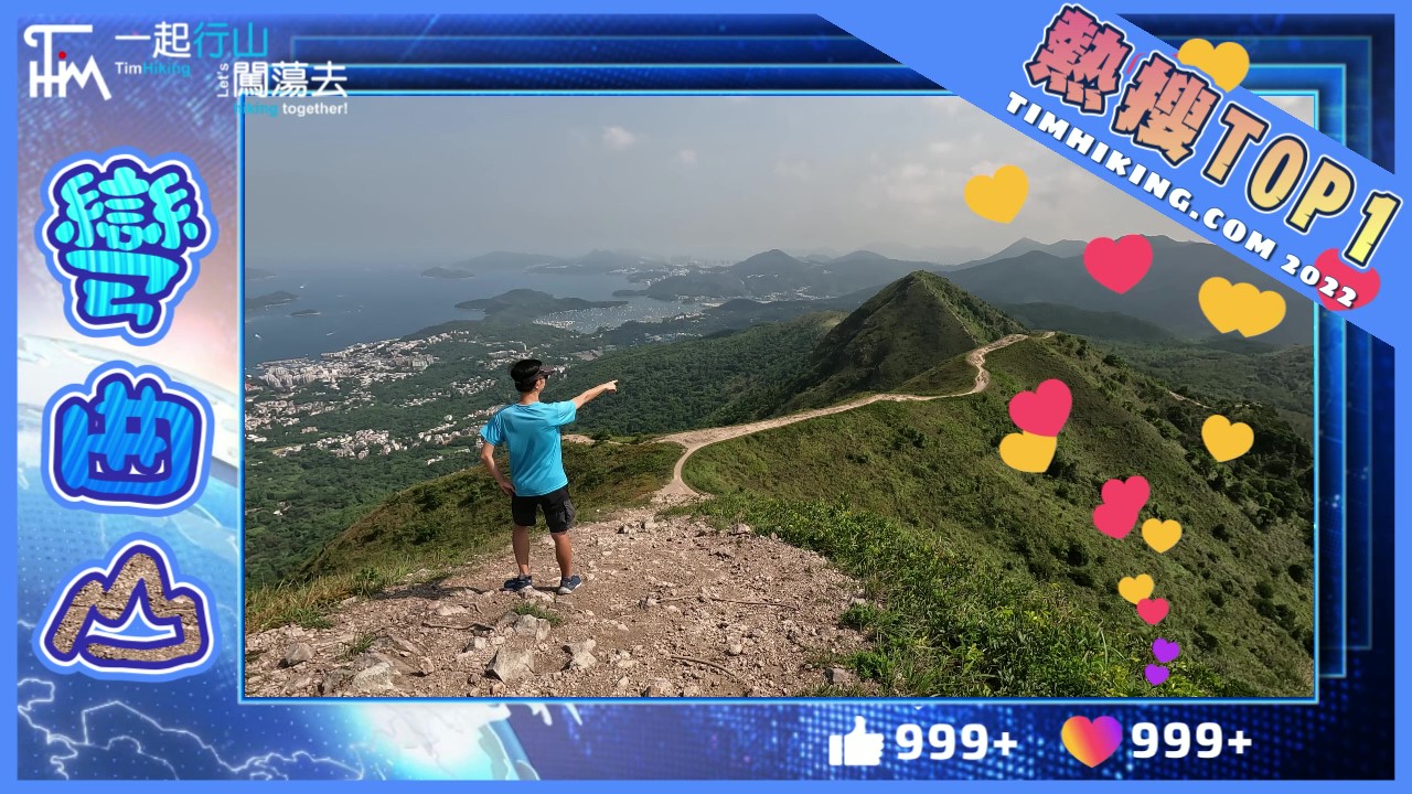
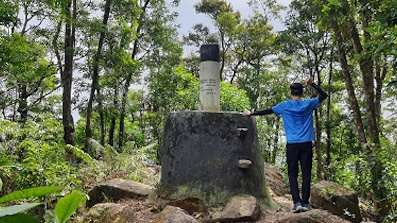
57︰Tiu Tang Lung is 416 meters high.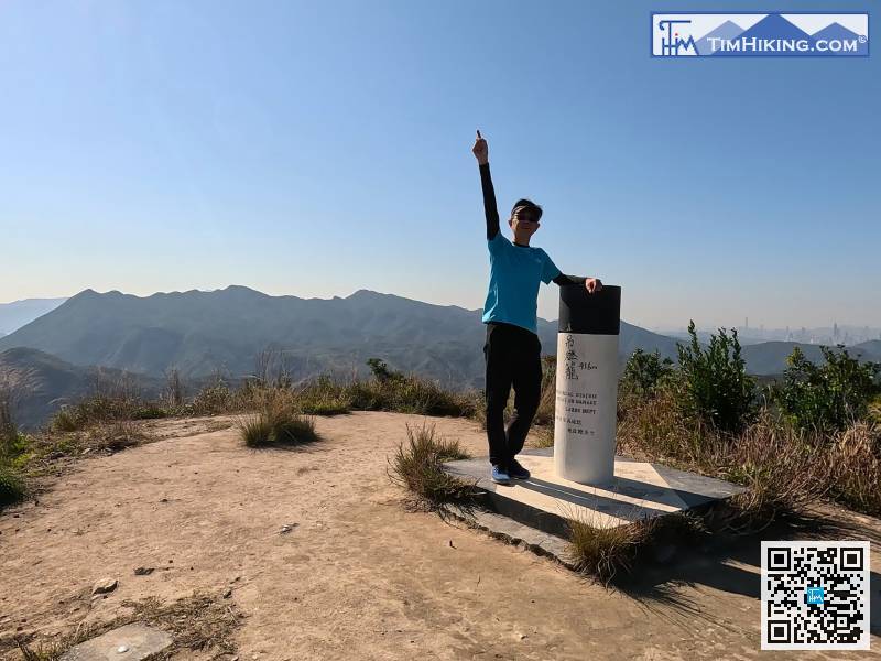
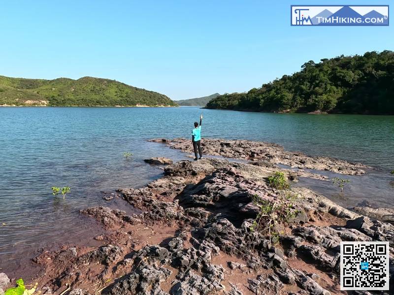
After landing at the foot of the mountain, then connect to Lai Sam Ancient Trail, turn right to immediately return to Kau Tam Tso,
Turn right at the fork and start the second half of the return journey.
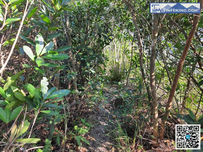
After leaving, start to connect to a relatively long tree-lined mountain trail.
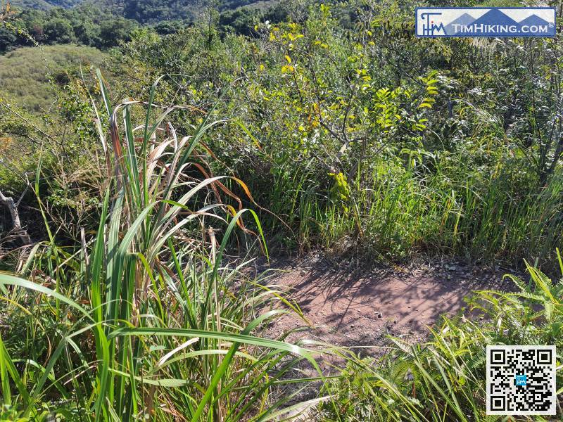
The rest is following the main road.


