


 Recommend YouTube


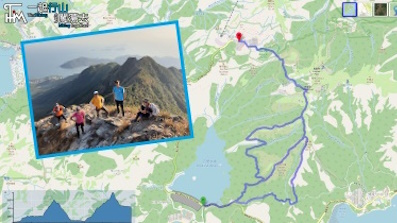
| View : |  | ||
| Difficulty : |  | ||
| Path : | |||
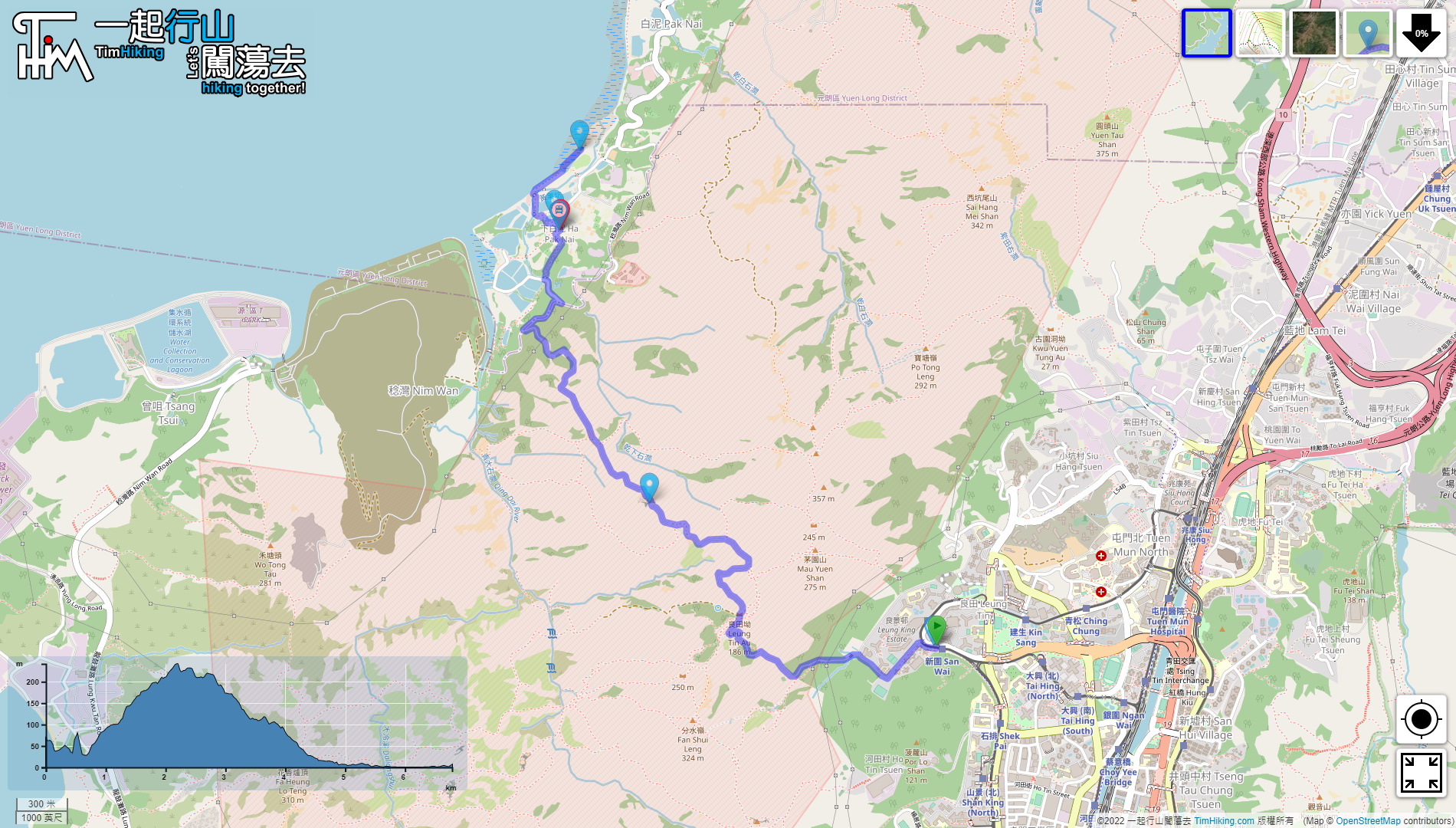
| Length : | 6.8km | ||
| Time : | 3hours | ||
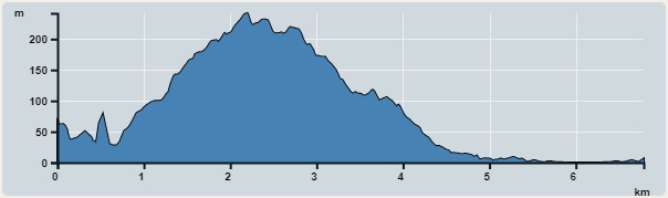 | |
| Ascent : 382m | Descent : 449m |
| Max : 242m | Min : 0m |
| (The accuracy of elevation is +/-30m) | |


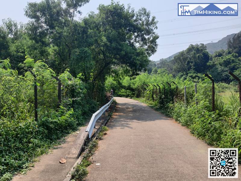
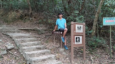
 7︰go for about 200 meters, and the wide concrete road on the left is the entrance to the mountain.
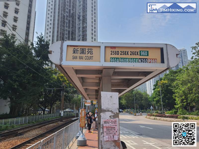
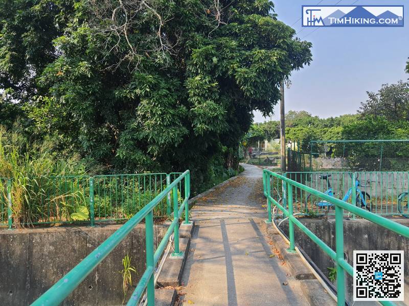
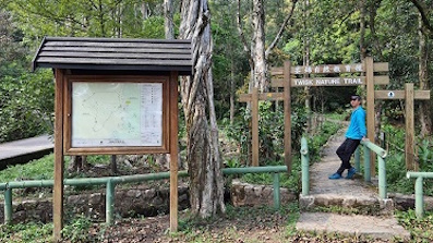
First, take a bus or light rail to get off at San Wai Court, which is near Tuen Mun Leung King Estate.
 25︰It is a gravel road, and then you will drop a section of floating sand and gravel slope.
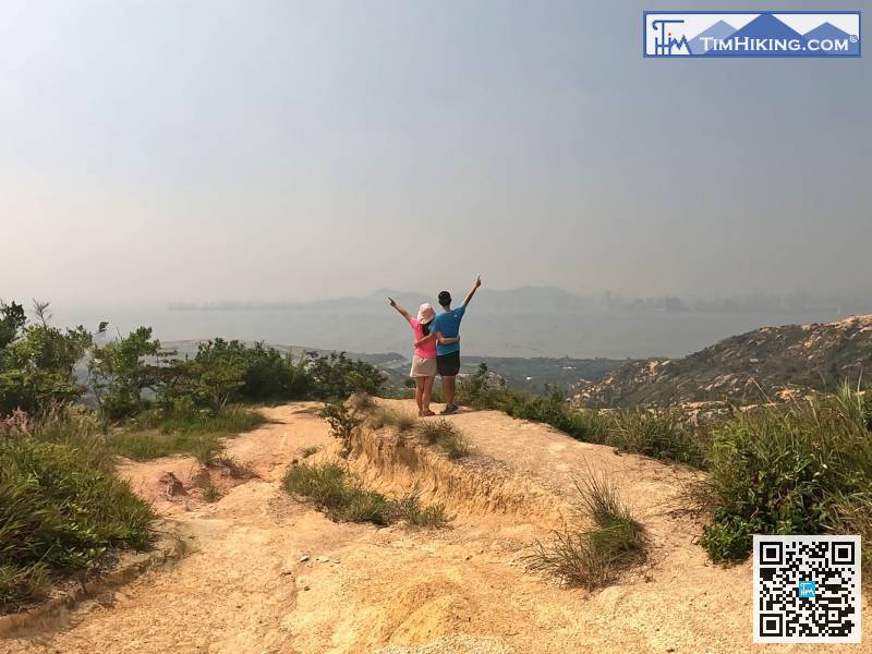
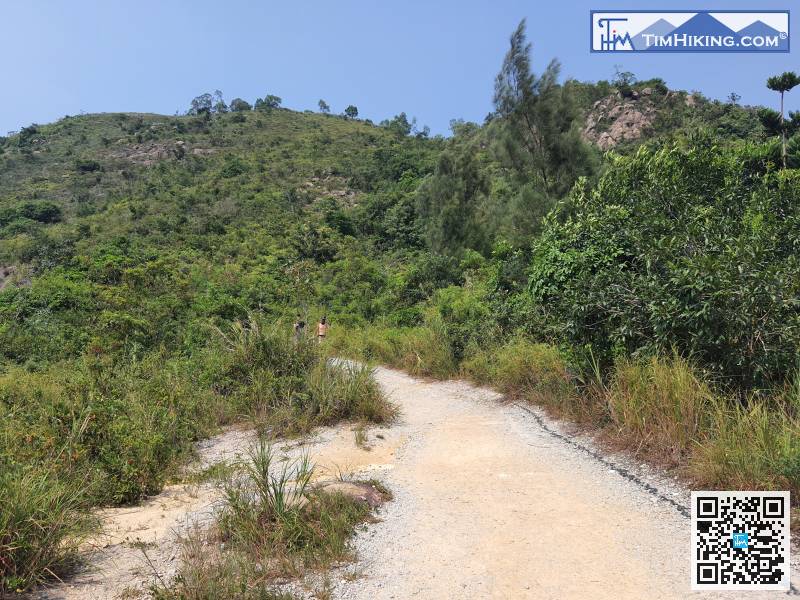 32︰If the sky is clear, you can enjoy a large oyster field on the small hill, and you can look at Shenzhou, too.
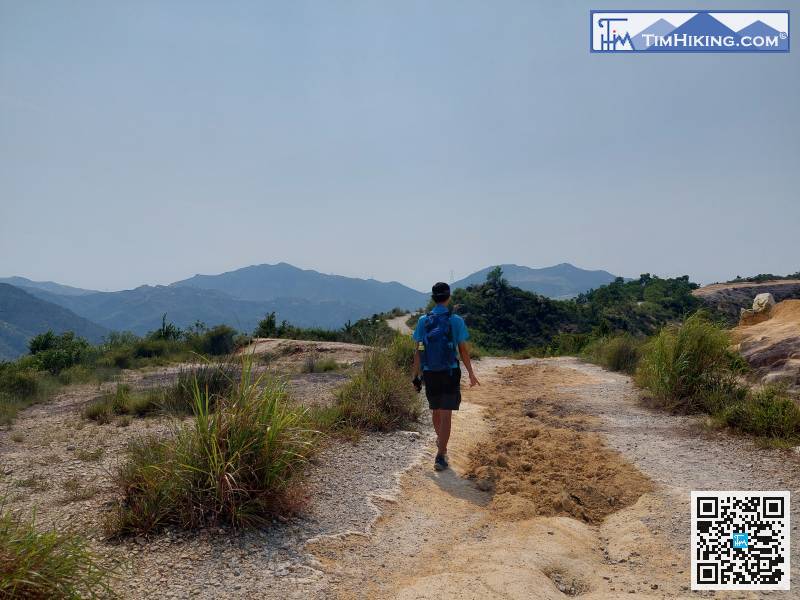
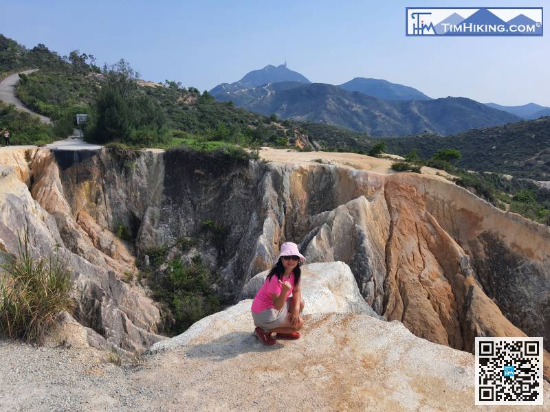
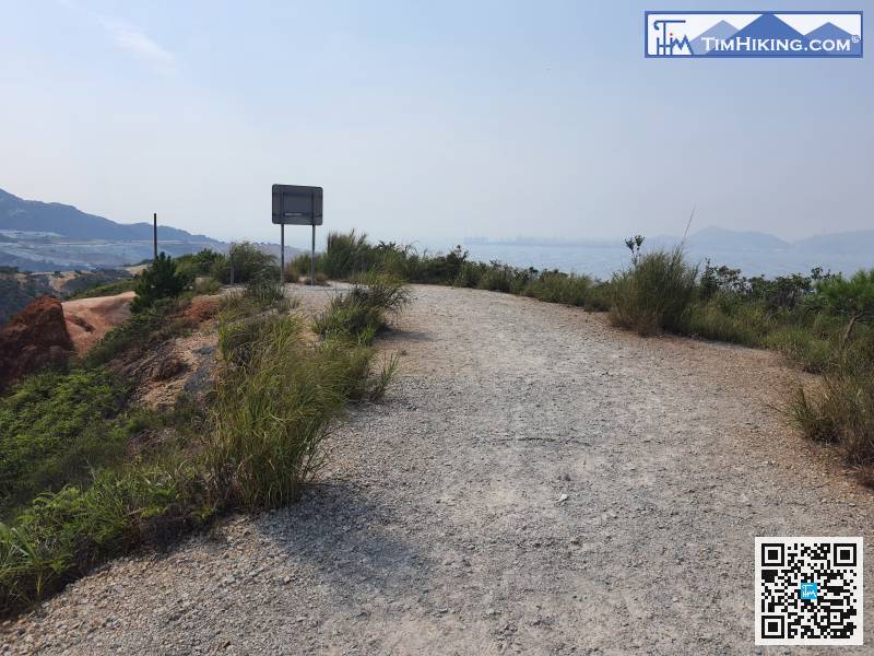
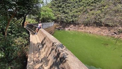
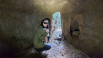
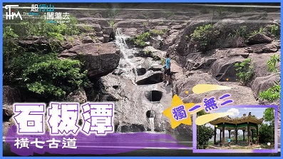
The old part of the gully is obviously filled, which makes it much safer to walk up.
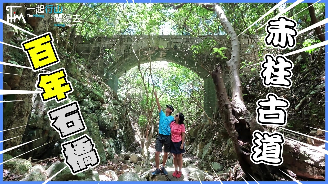
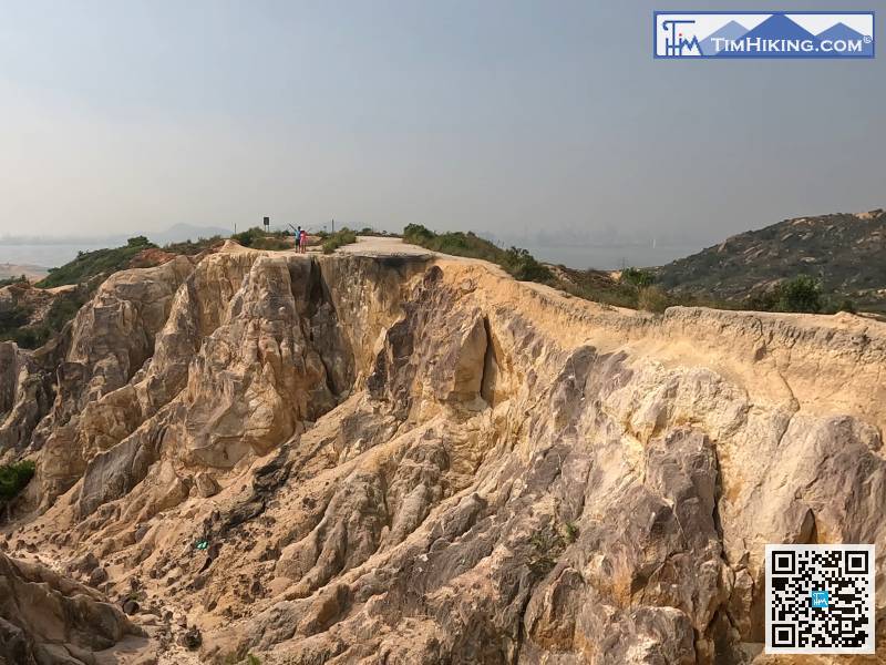
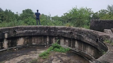
38︰and behind it is the place known as the Hong Kong version of the Grand Canyon, which is really spectacular.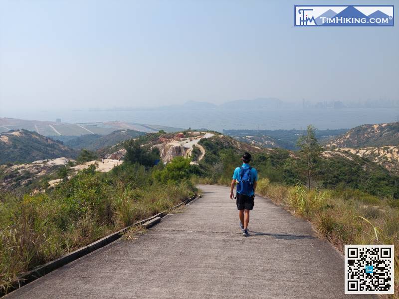
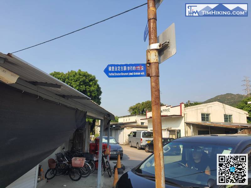
 55︰The end of the military road is connected to the Nim Wan Road in Ha Pak Nai.
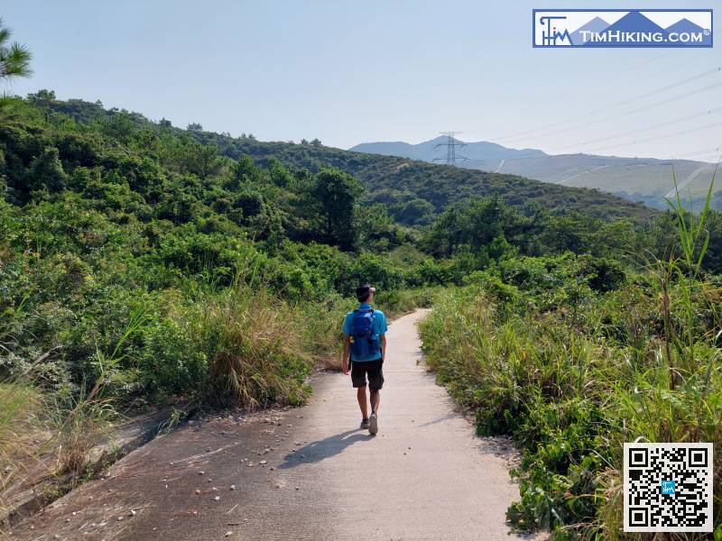
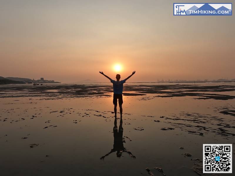
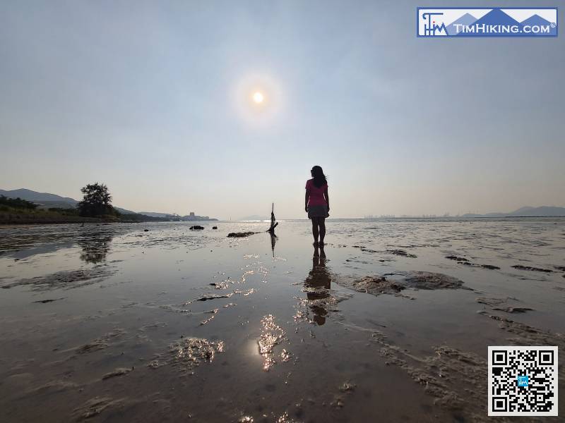
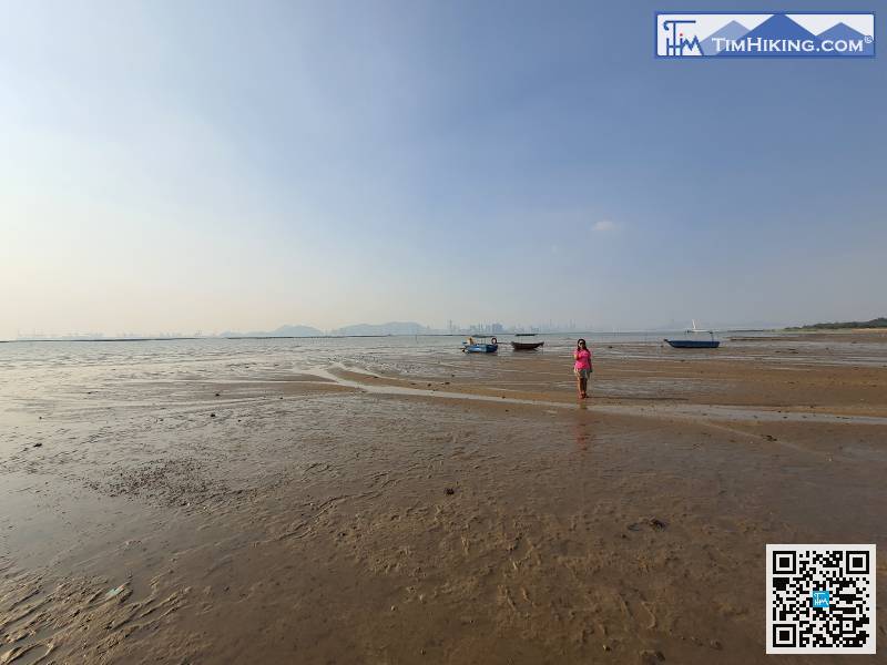
 81︰and it was time to go down the mudflat.
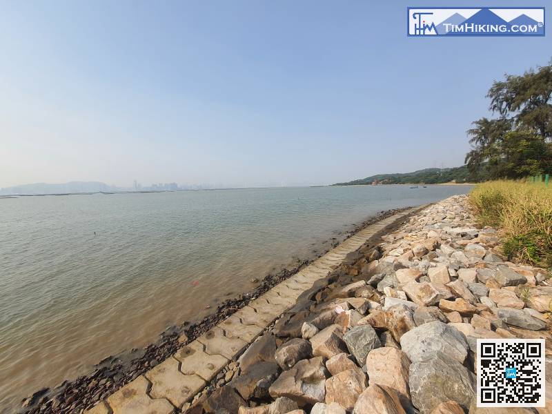
It's still early. The water level of the Chart Datum as shown in the photo is about 1.0 meters. It can be seen that the mudflat has not been exposed, so it was a little early.


