


 Recommend YouTube


| View : |  | ||
| Difficulty : |  | ||
| Path : | |||
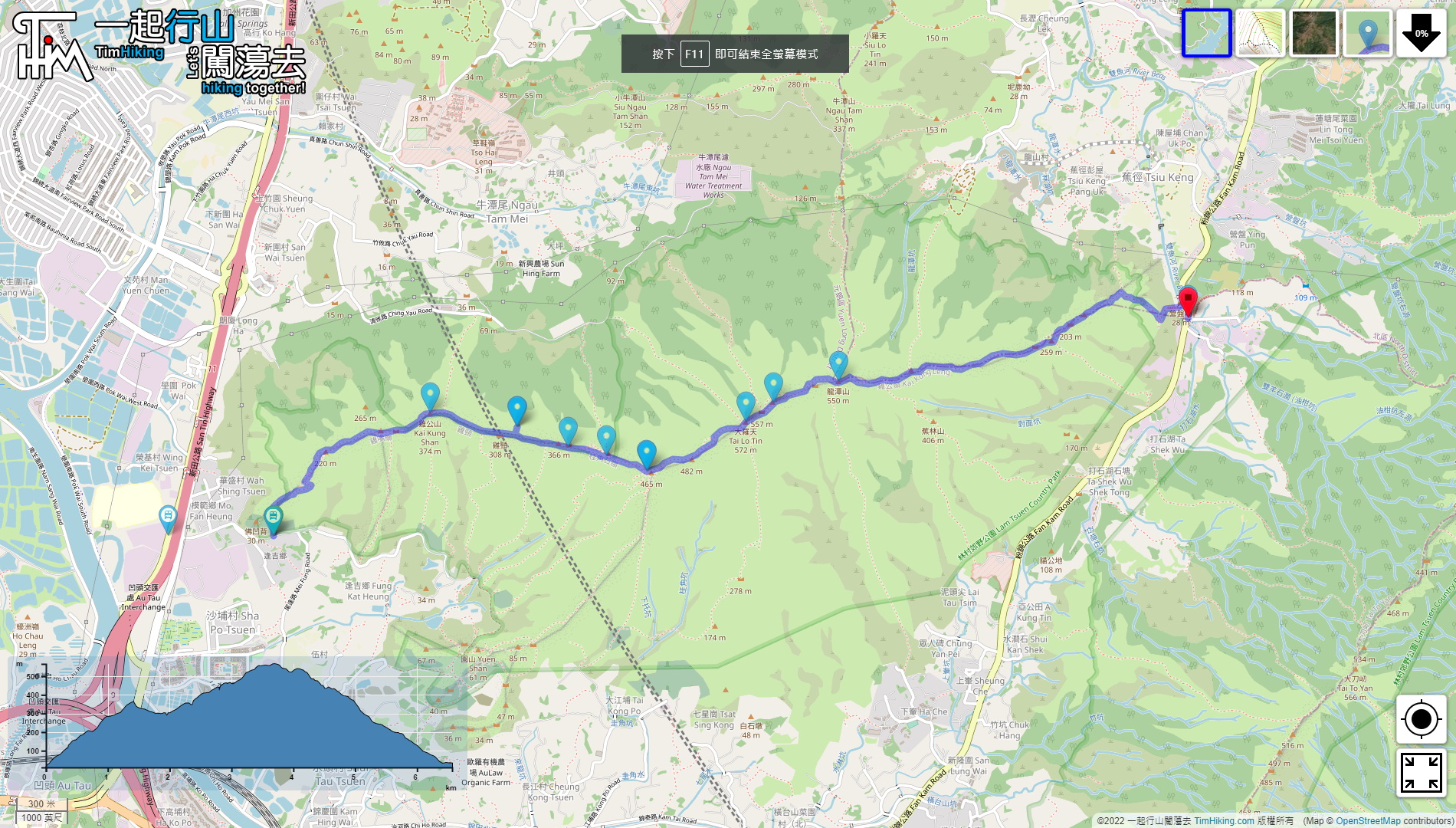
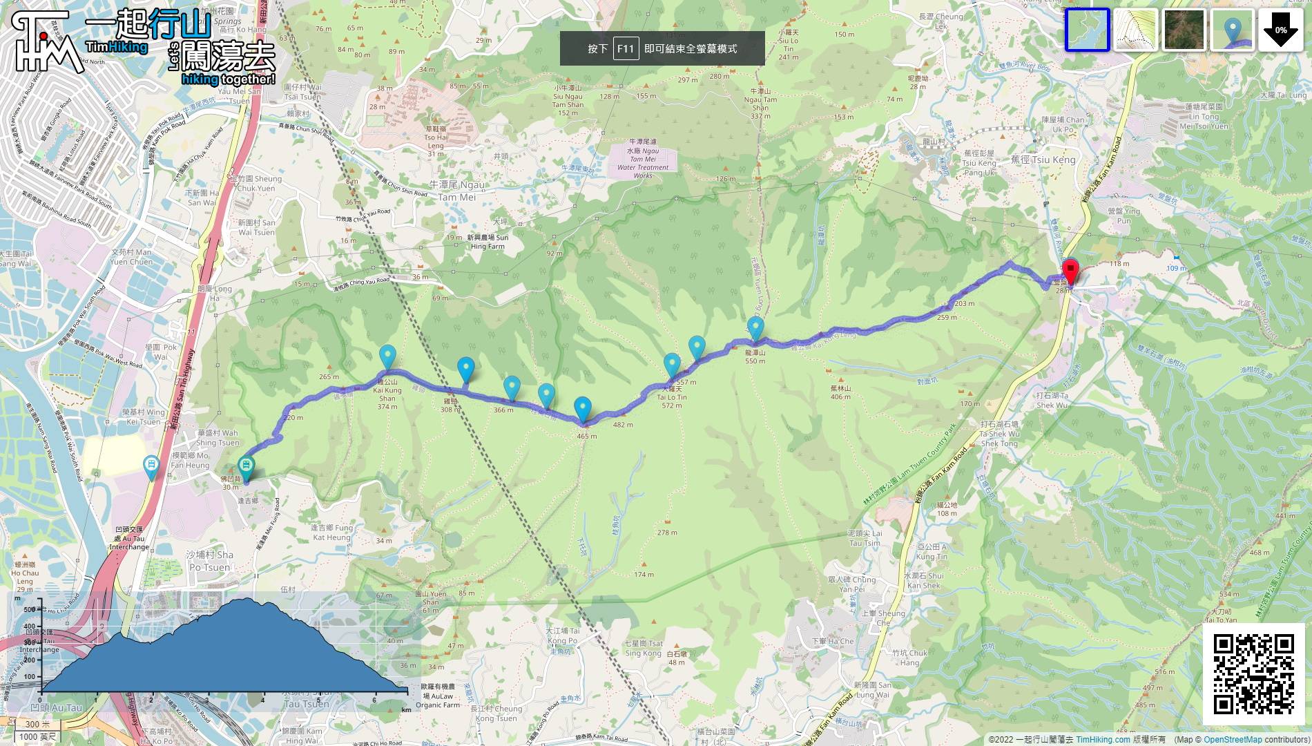
| Length : | 6.6km | ||
| Time : | 3hours | ||
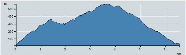 | |
| Ascent : 653m | Descent : 632m |
| Max : 566m | Min : 10m |
| (The accuracy of elevation is +/-30m) | |


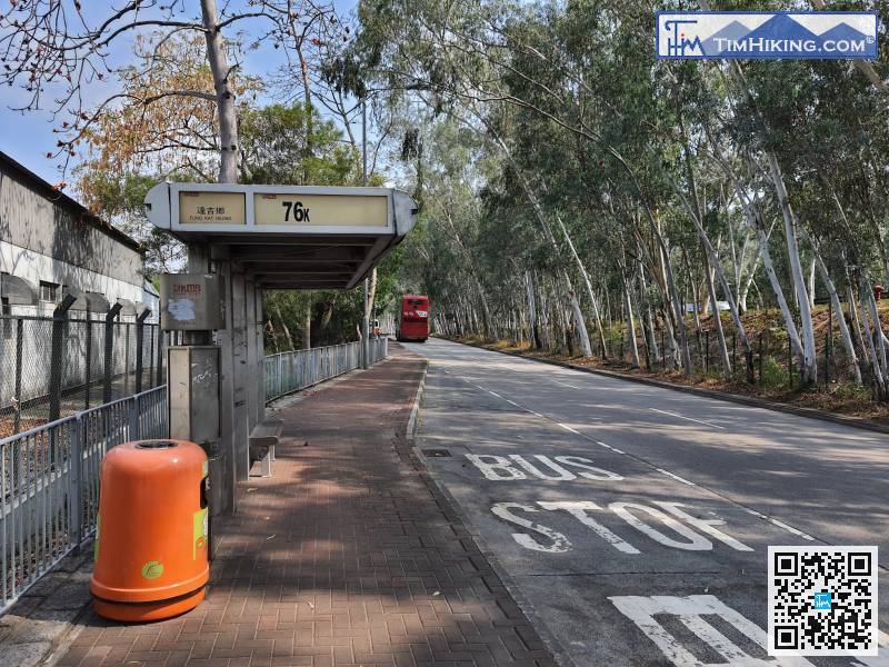
The starting point is at Fung Kat Heung. You can take the bus 76K bus or the minibus 36 from Yuen Long and get off at Fung Kat Heung bus stop.
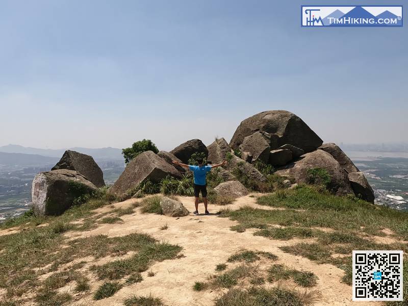
 21︰There will be many branch trails along the way. In order to preserve the ridge, please try to walk on the main trail with steps.
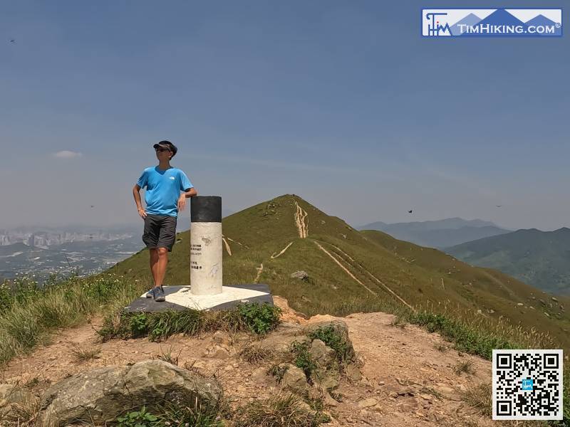
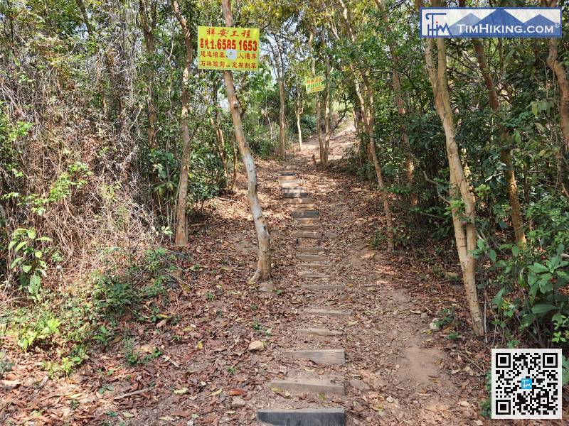 29︰abandoning the fat shape and becoming an ordinary trigonometrical station.
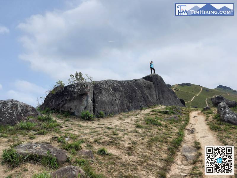
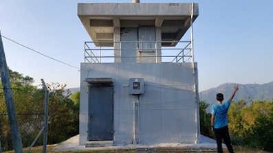
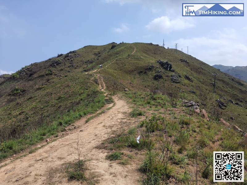 31︰the trails are sand and gravel roads.
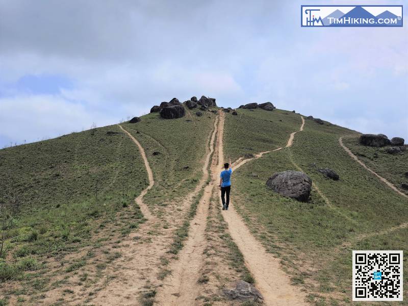
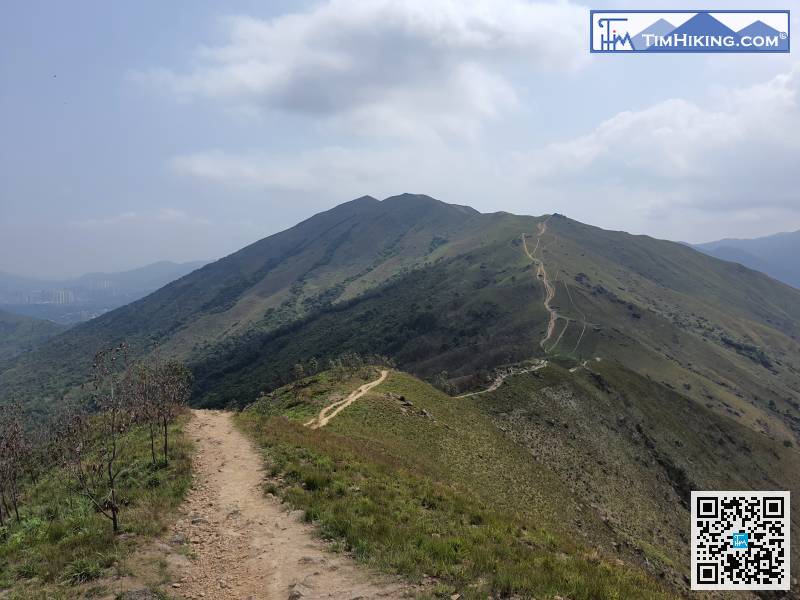 39︰If there are multiple routes, usually choose to way going up to the mountain.
If there are multiple routes, usually choose to way going up to the mountain.
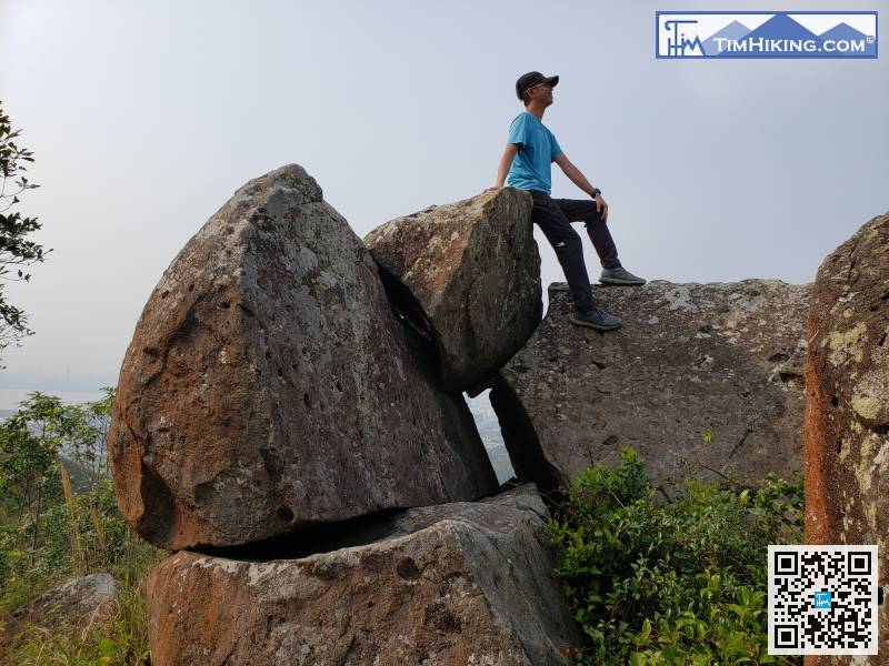
51︰It is not much up and down, just takes a few minutes.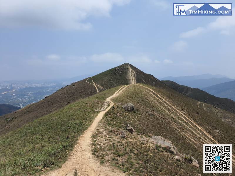 62︰Go straight is the top and the right way is around the mountainside.
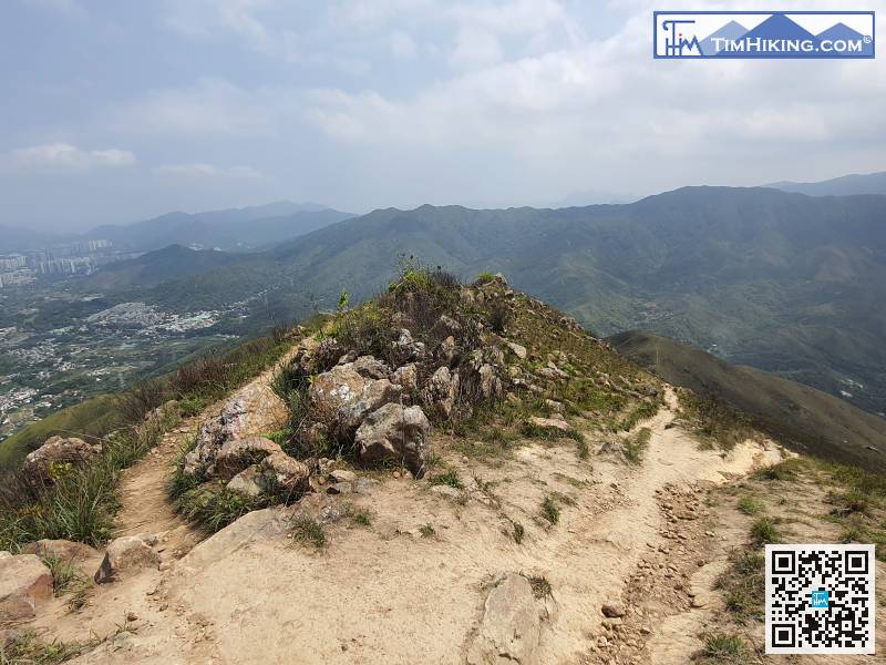 63︰Choose the path carefully in the chain of bifurcations.
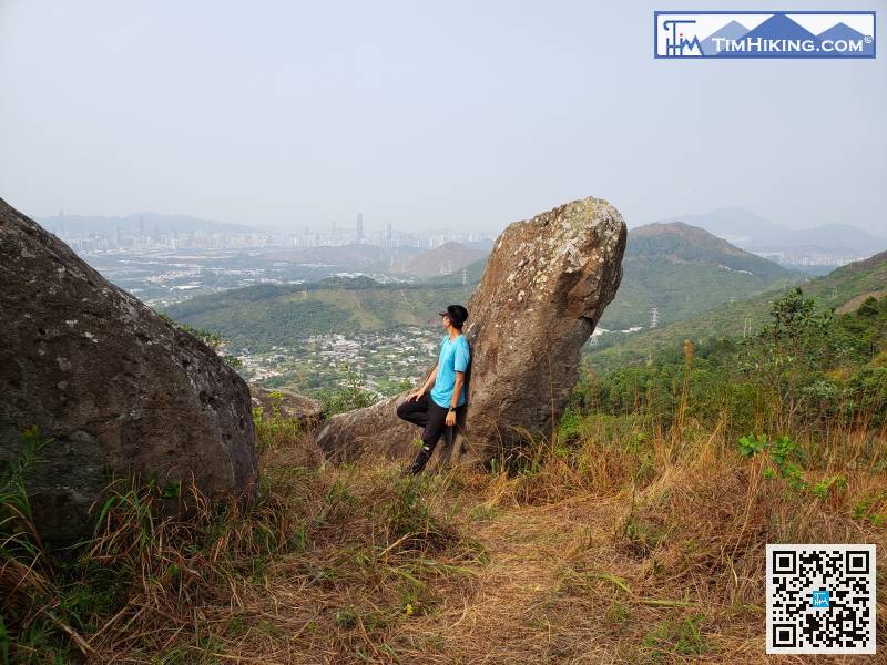
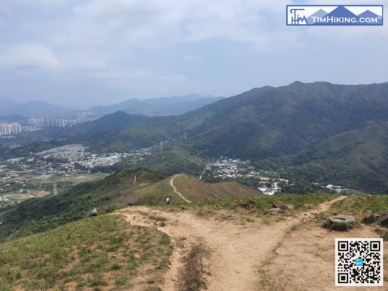 70︰When coming to a big bifurcation, the forward path is to Tsiu Keng.
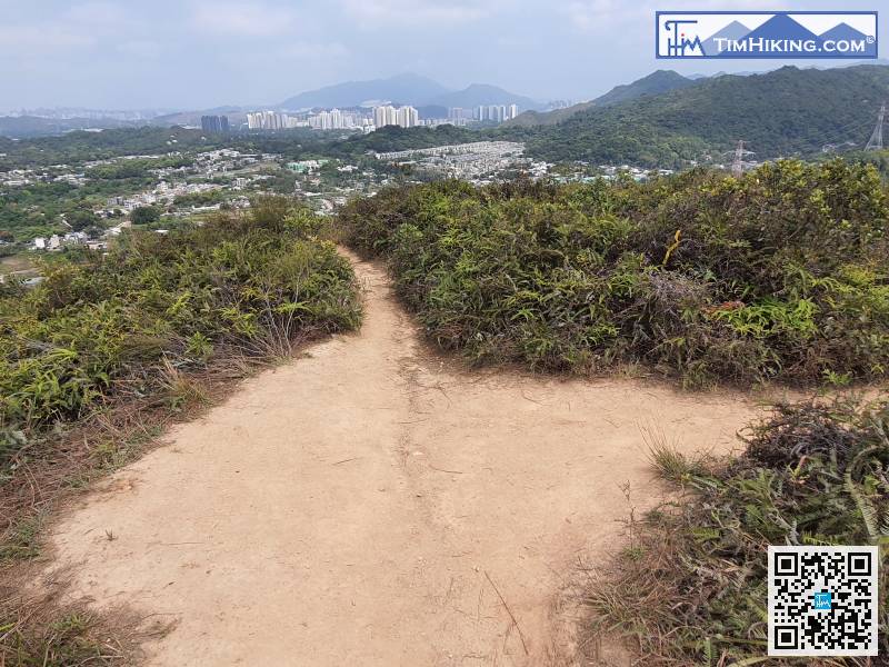
When coming to a big bifurcation, the forward path is to Tsiu Keng.


