


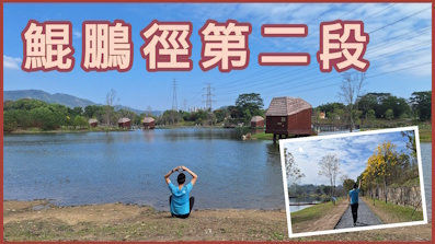
 Recommend YouTube

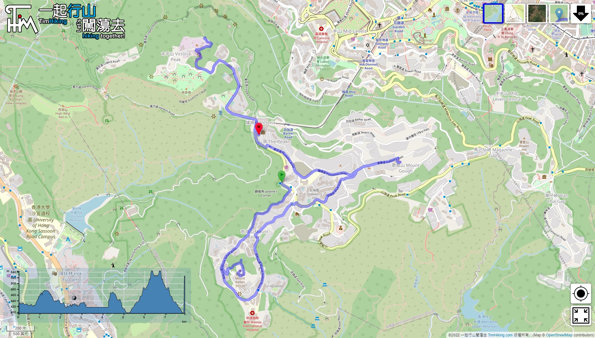

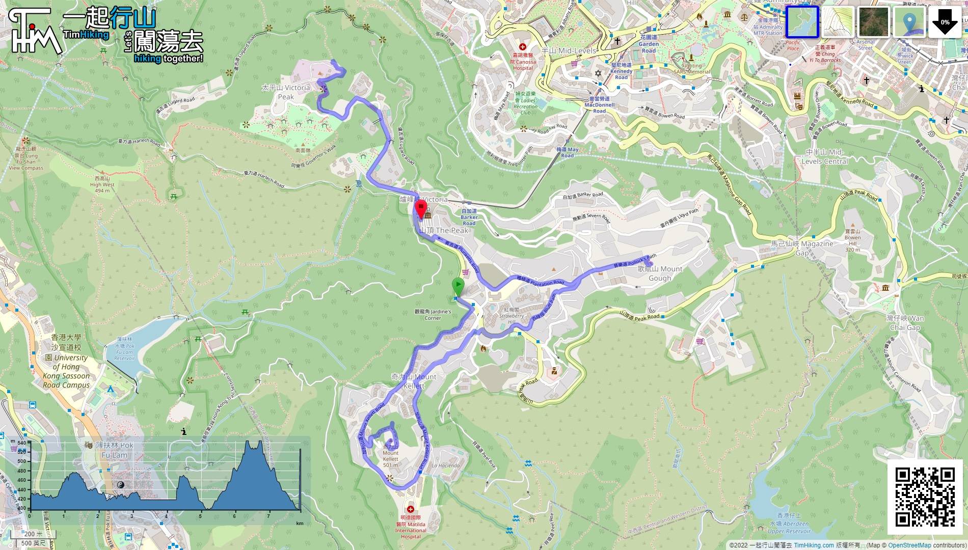
| View : |  | ||
| Difficulty : |  | ||
 (not visit Trigonometrical Station) | |||
| Path : | |||
| Length : | 8km | ||
| Time : | 2½hours | ||
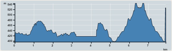 | |
| Ascent : 517m | Descent : 543m |
| Max : 543m | Min : 396m |
| (The accuracy of elevation is +/-30m) | |


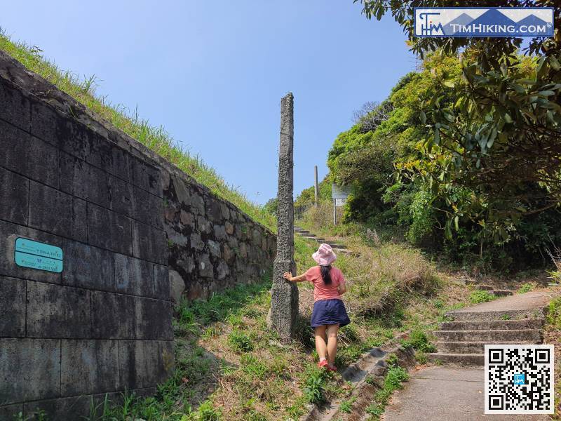
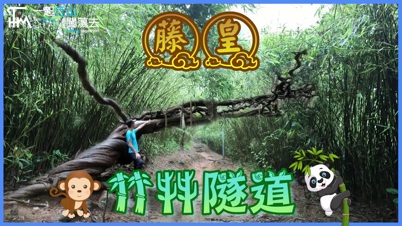
 9︰and pay attention to the barren trail on the left.
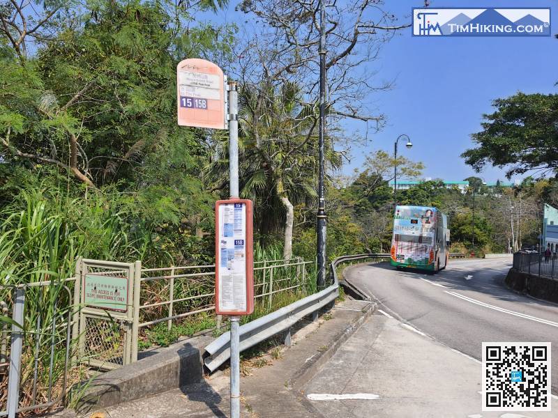
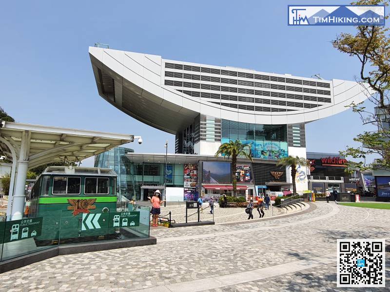
First, take bus 15 from Central or Admiralty to the Peak and get off at Mount Kellett Road.
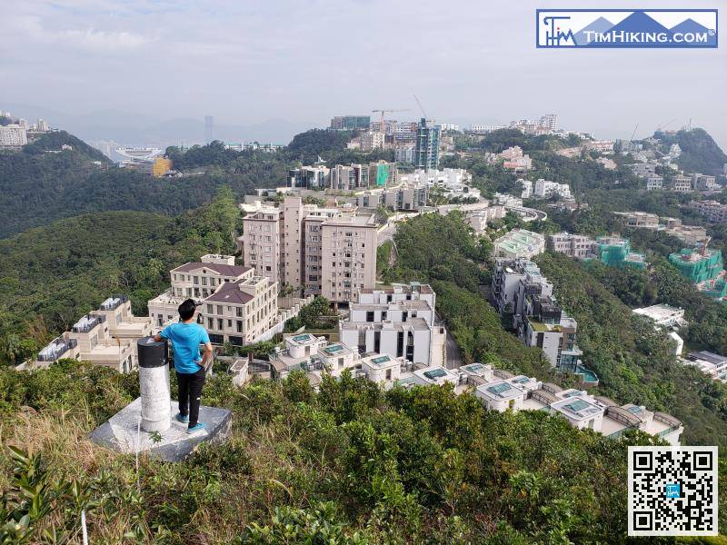
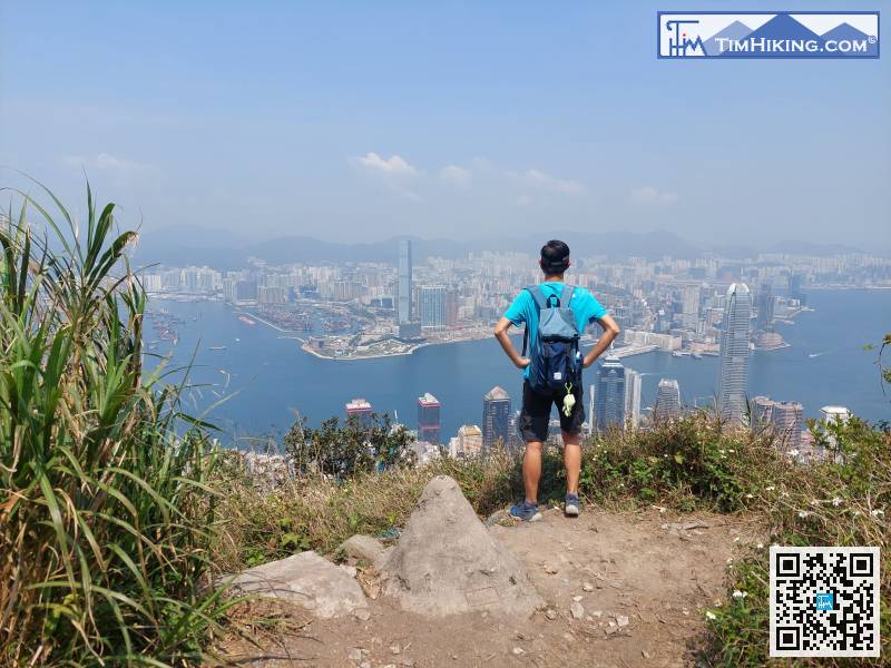
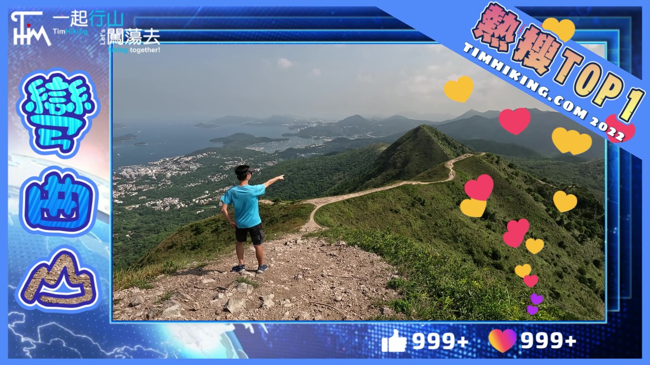
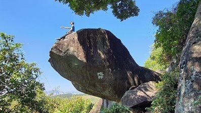
16︰To Trigonometrical Station, although it is not the top of the mountain, can overlook the entire Mount Kellett mansions at close range.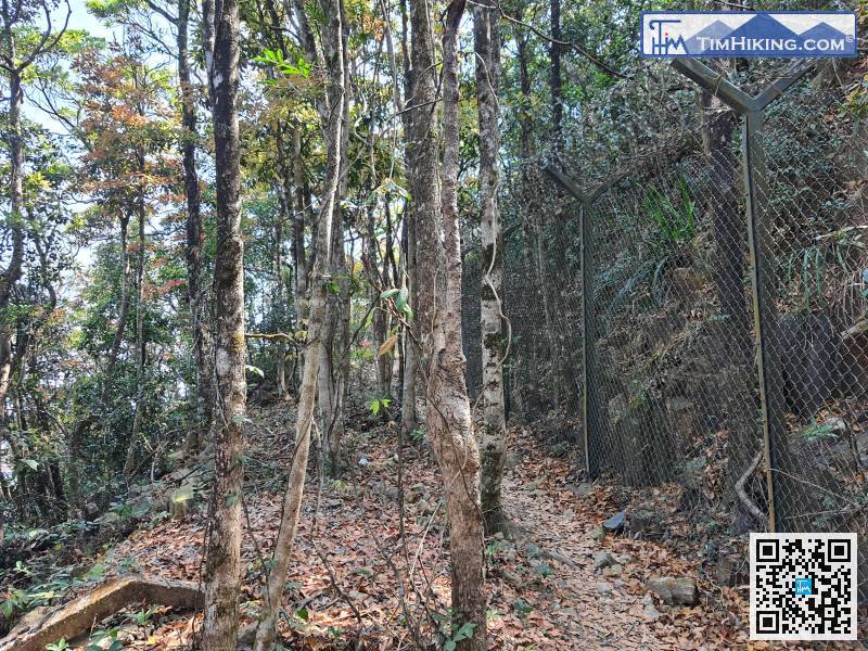 21︰The scenery is not much different from the Trigonometrical Station.
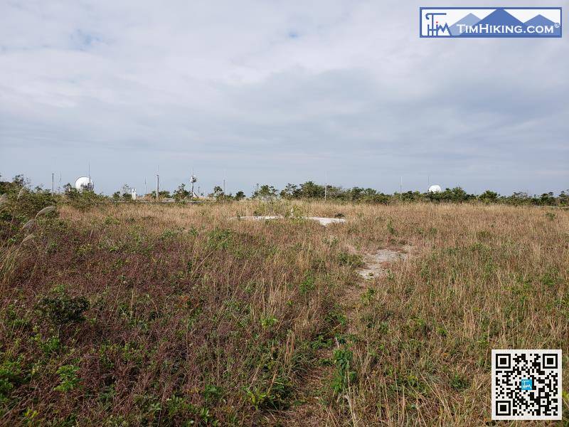
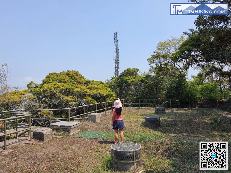
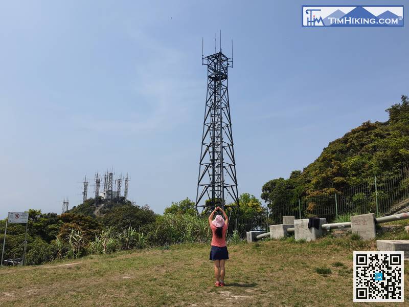
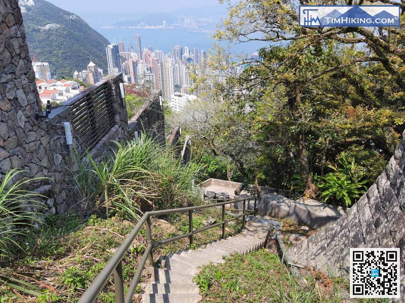
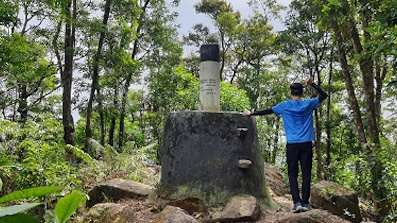
When reaching the top of the mountain, there is a flat ground, behind which is a Radio Station belonging to the ICAC.
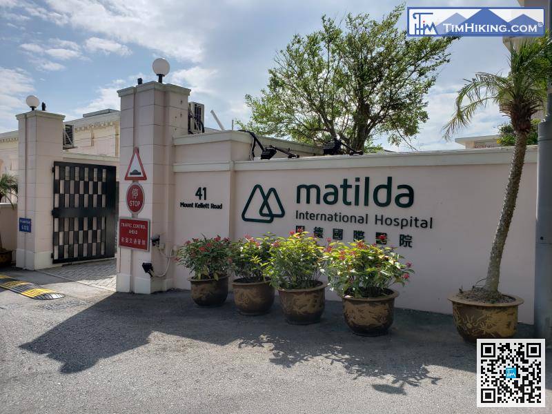
After 10 minutes of walking, will come to Matilda International Hospital,
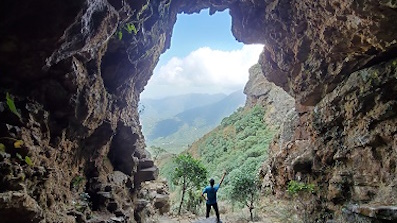
46︰it should be the top of Mount Gough, because the real top is in the mansion.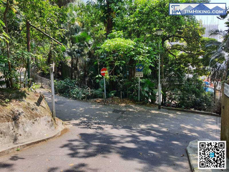
 57︰which is exactly where Peak Tower is located.
 71︰The scenery of the Service Reservoir is very vast,
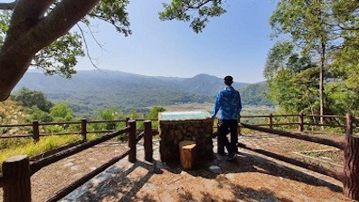
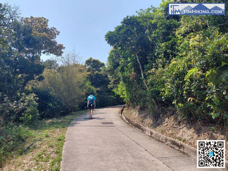
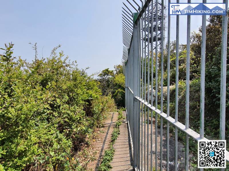
Because there are too many Radio Stations, it is not advisable to stay for a long time. After visiting the old Trigonometrical Station of Victoria Peak, leave as soon as possible.


