


 Recommend YouTube


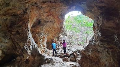
| View : |  | ||
| Difficulty : |  | ||
 (Biu Tsim Kok only) | |||
| Path : | |||
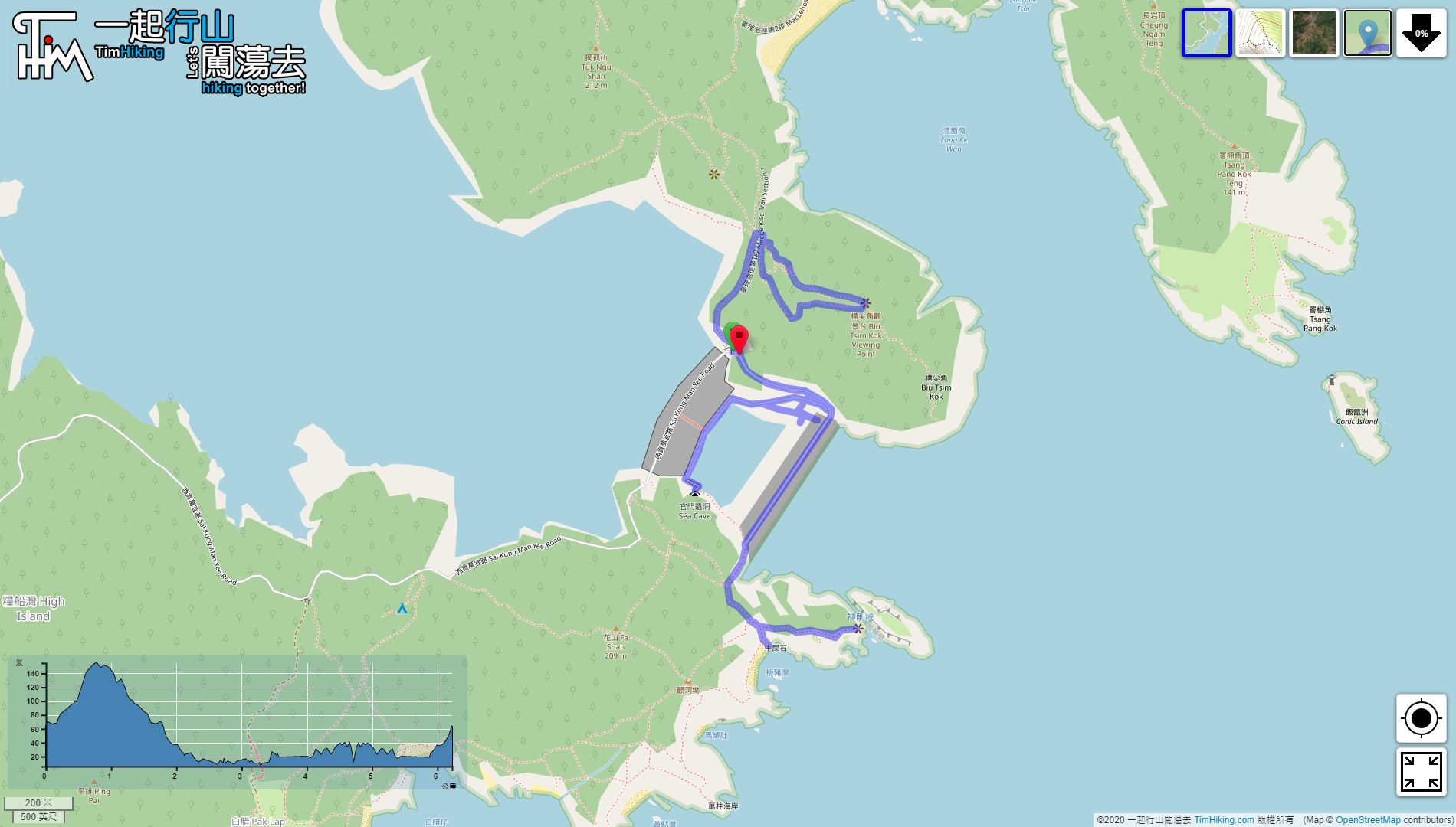
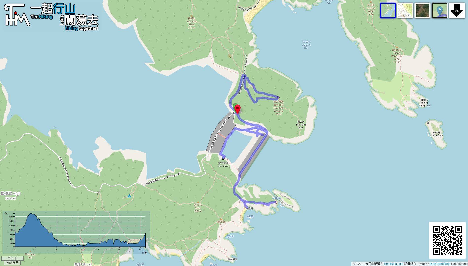
| Length : | 6.2km | ||
| Time : | 3½hours | ||
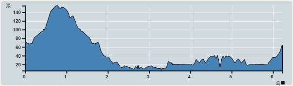 | |
| Ascent : 374m | Descent : 374m |
| Max : 155m | Min : 6m |
| (The accuracy of elevation is +/-30m) | |


 17︰to enjoy the beautiful scenery.
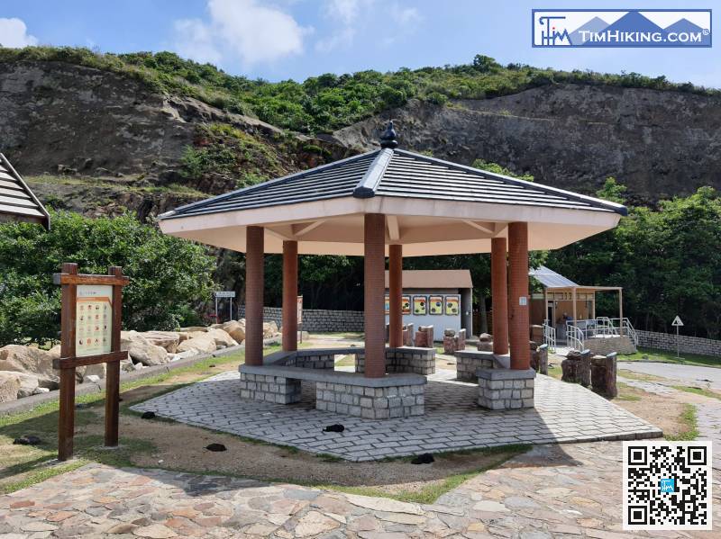
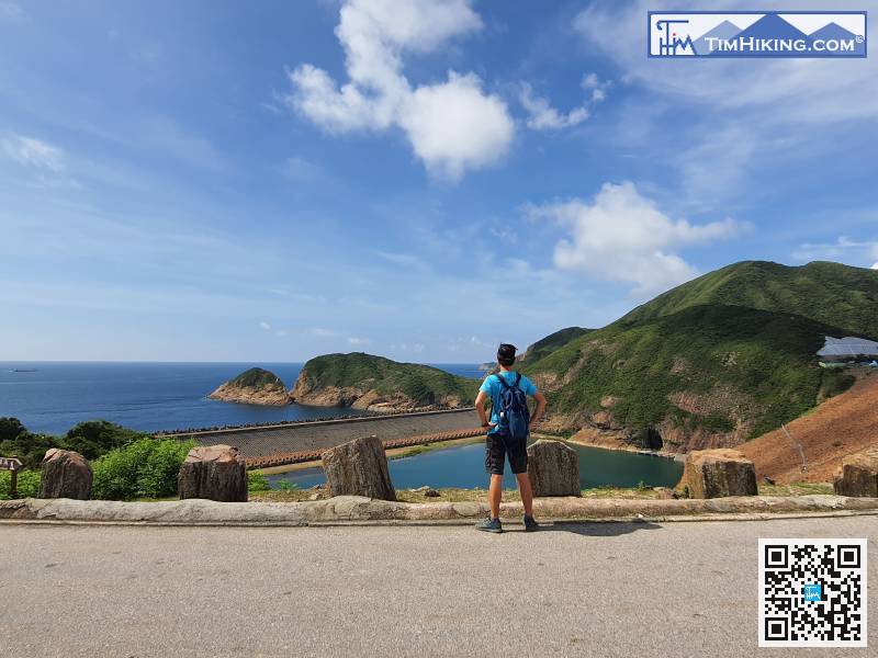
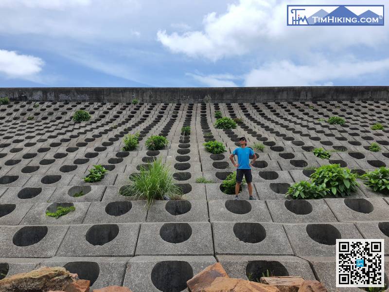
Get off at the big pavilion at the end of the East Dam road,
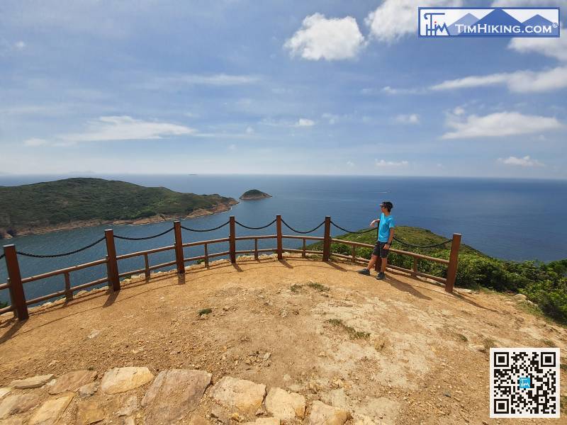
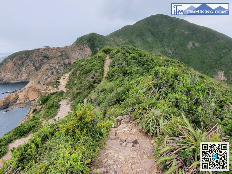
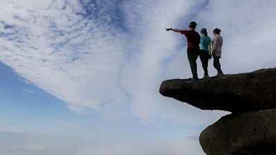
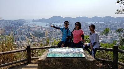
20︰Soon will come to Biu Tsim Kok Viewing Point. The Viewing Point is very wide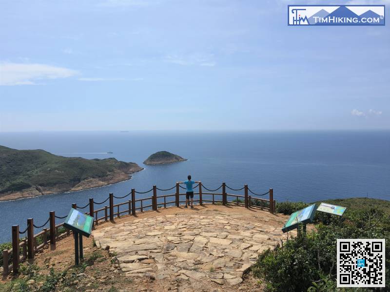
Soon will come to Biu Tsim Kok Viewing Point. The Viewing Point is very wide
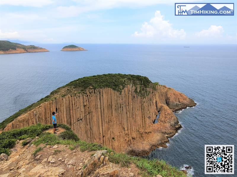
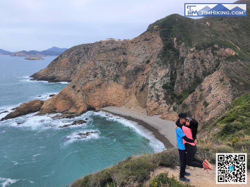
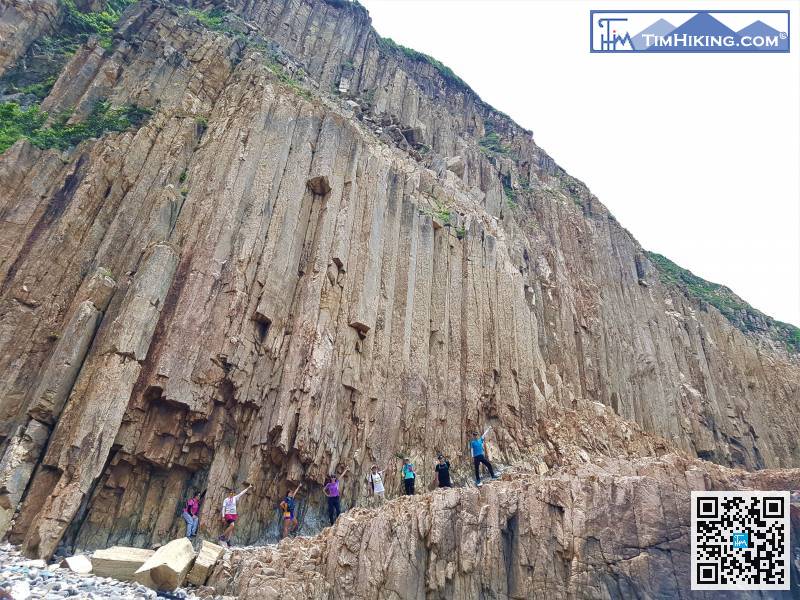
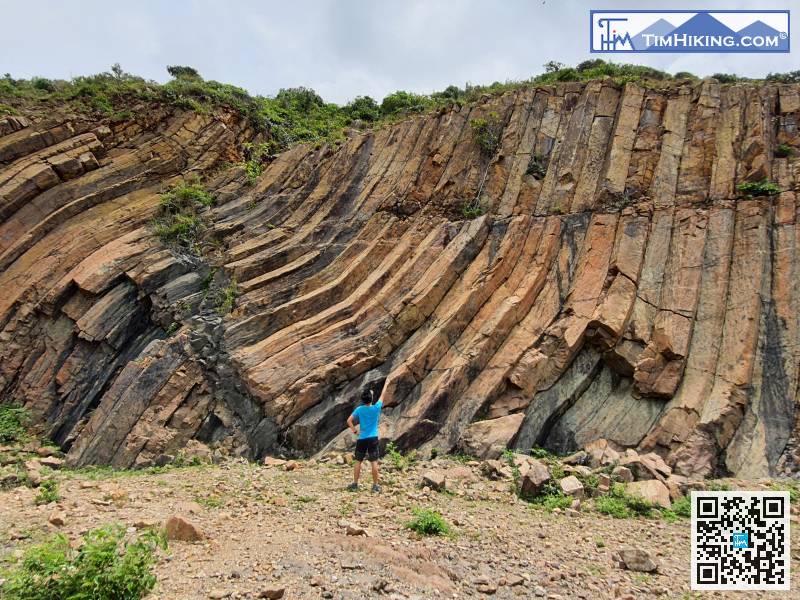
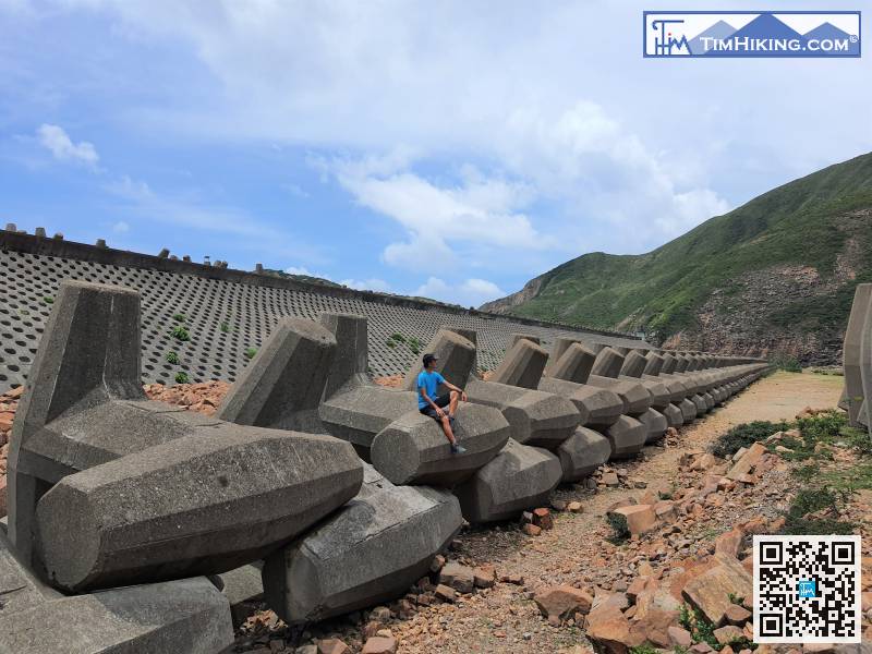
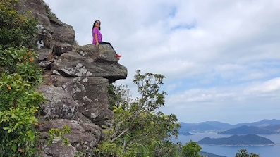
38︰or go to the breakwater to feel its magnificent aura. 53︰Step forwards a little bit, can clearly see Kim Chu Wan below, and the Hong Kong Heart pattern on the mountain,


