


 Recommend YouTube


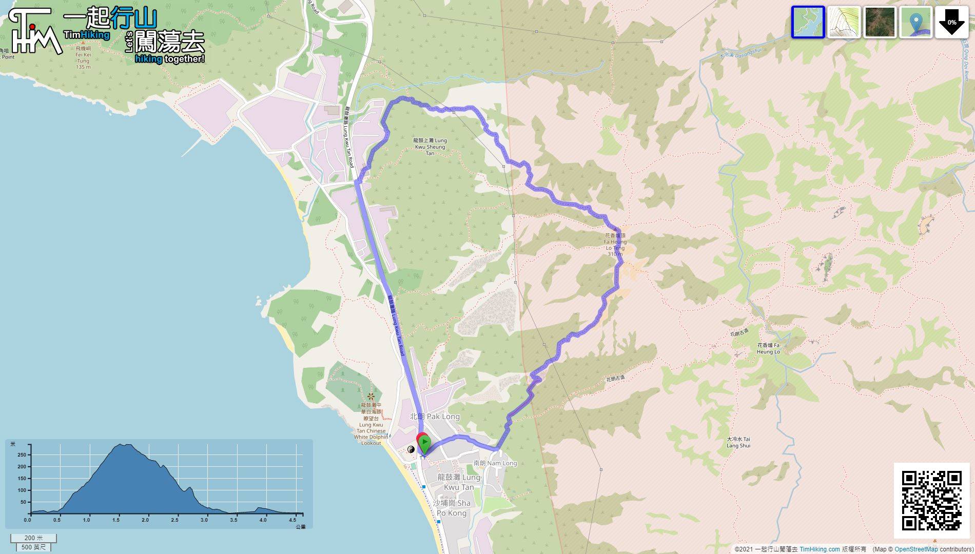
| View : |  | ||
| Difficulty : |  | ||
| Path : | |||
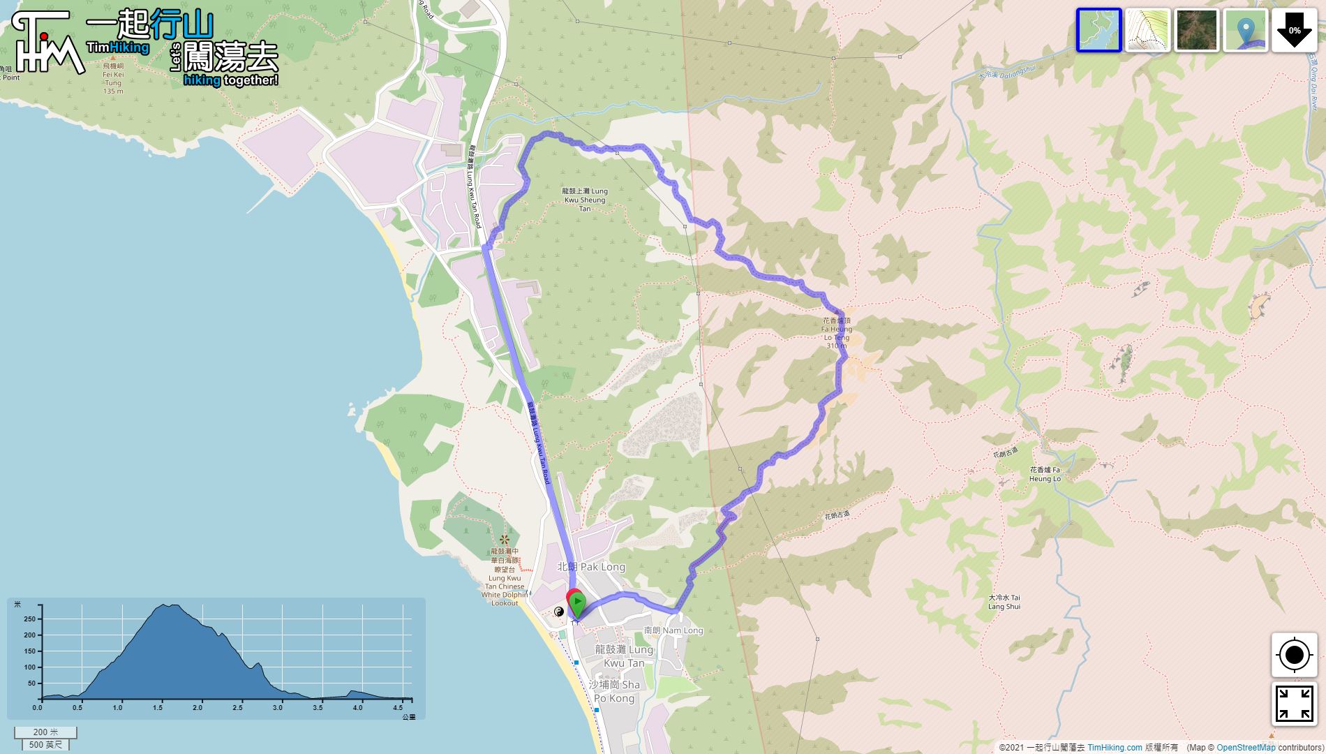
| Length : | 4.7km | ||
| Time : | 3hours | ||
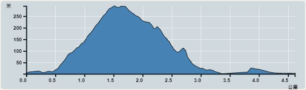 | |
| Ascent : 378m | Descent : 385m |
| Max : 294m | Min : 1m |
| (The accuracy of elevation is +/-30m) | |


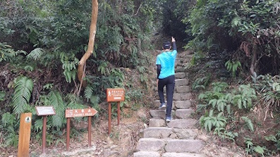
 5︰it takes about 5 minutes to reach the bifurcation intersection.
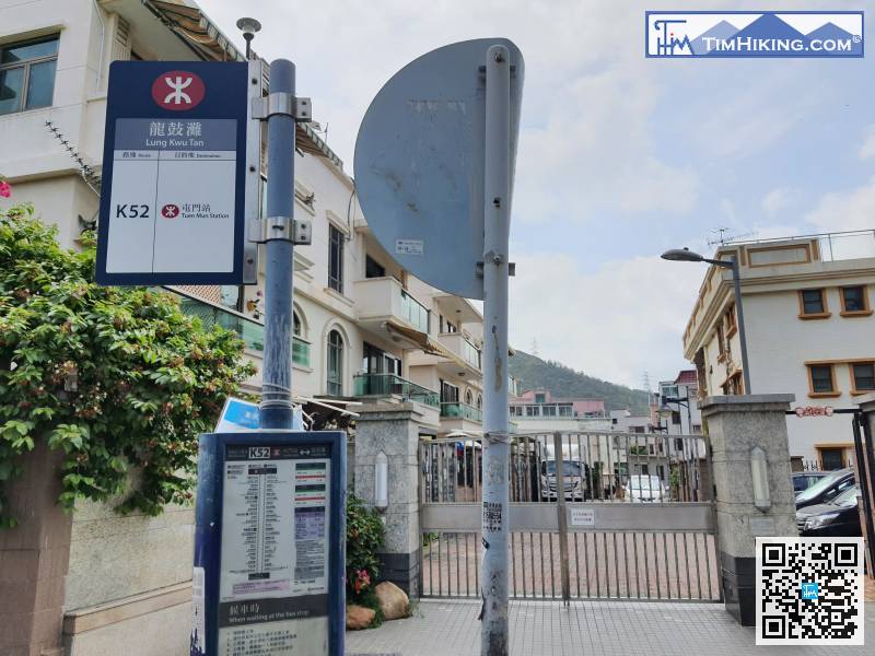
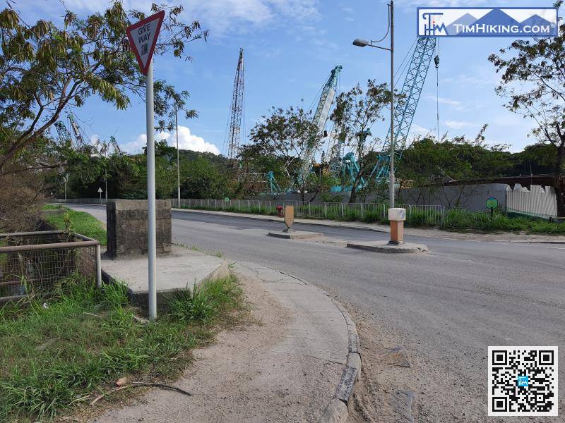
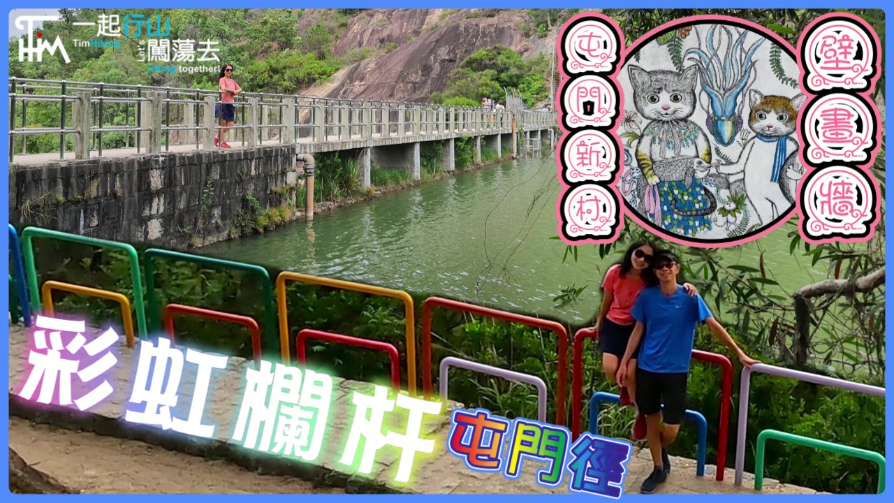
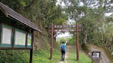
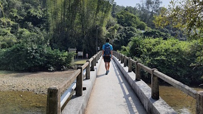
The starting point is at Lung Kwu Tan. You can take the K52 bus from Tuen Mun Station and get off at the terminus.
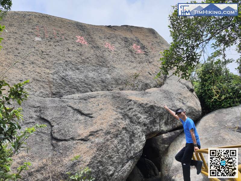
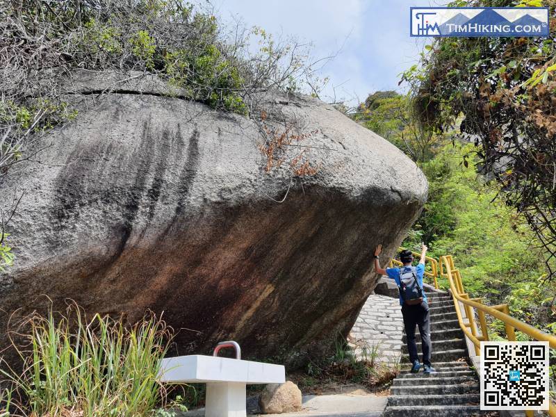
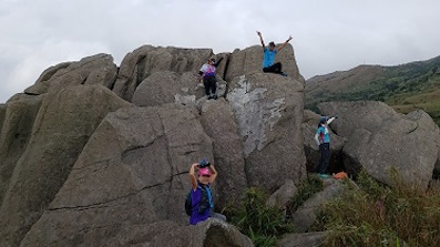
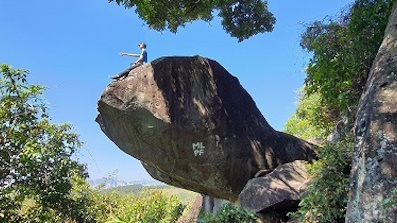
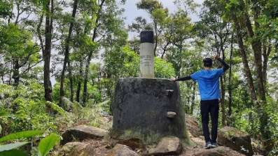
12︰then arrived at Emperor Rock.
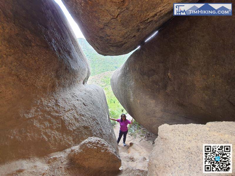
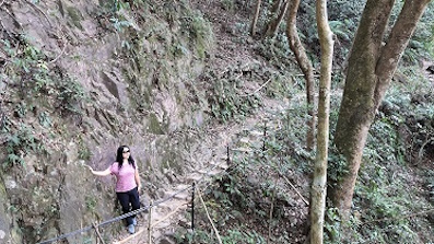
 27︰The mountain trail has also turned into floating sand and gravel.
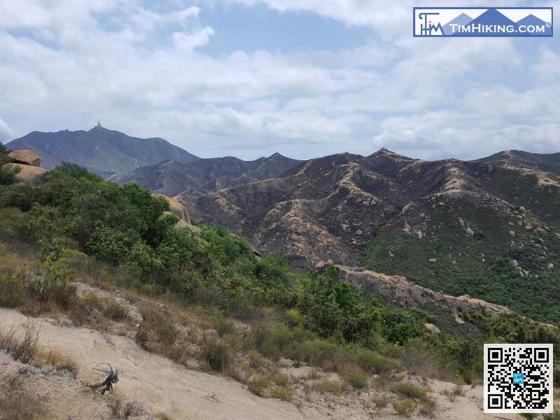
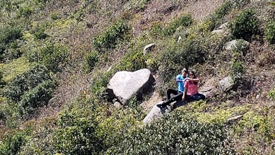
Unexpectedly, already step into the Castle Peak Hinterland, and everything is deserted.
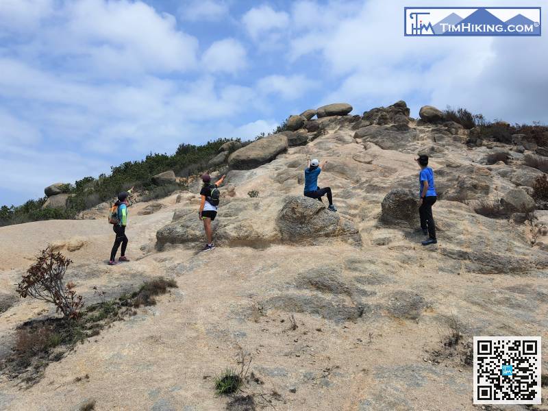
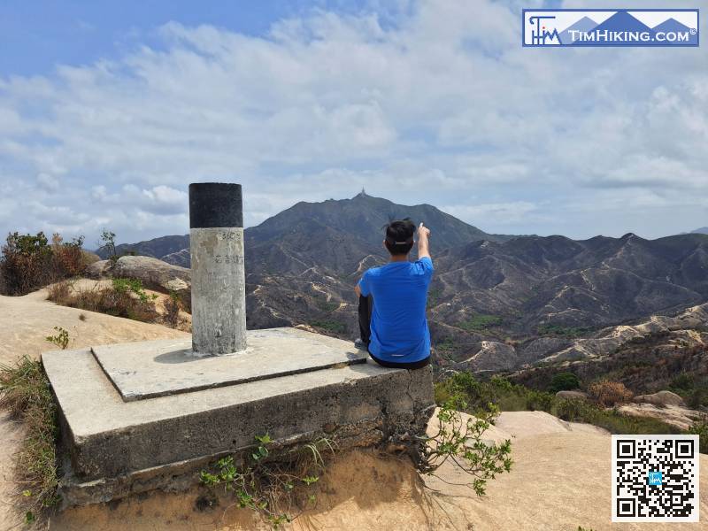
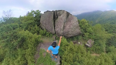
33︰At the top is a bifurcated intersection, turn left and walk towards the flagpole.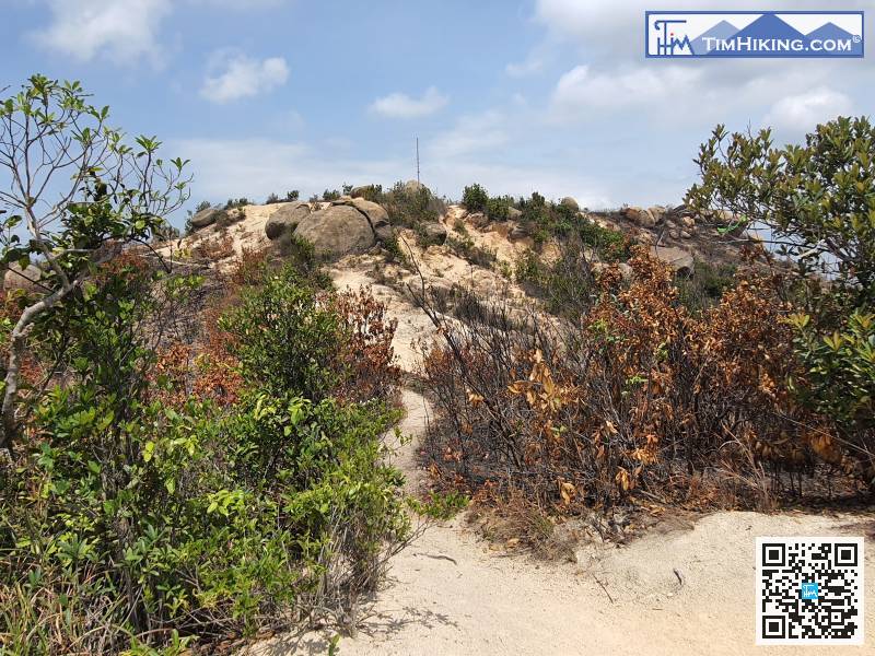 40︰There are deserted dunes everywhere,
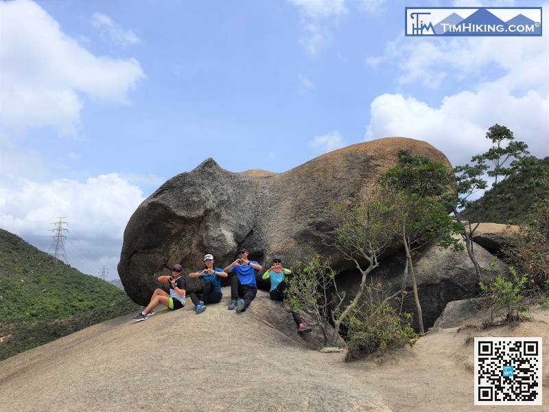
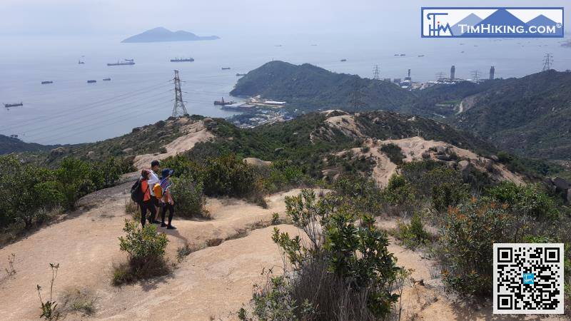 47︰It was a big fat pig from the front.
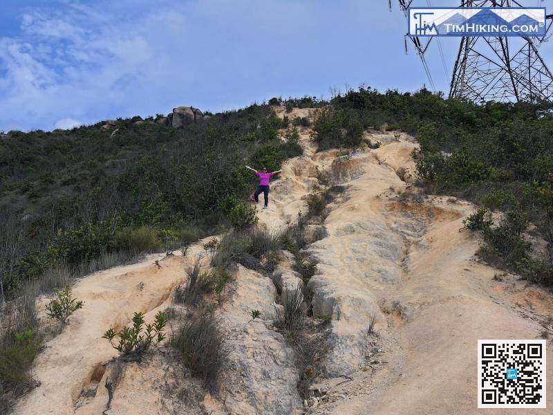 56︰After about 25 minutes, go to the bifurcation road and turn left,
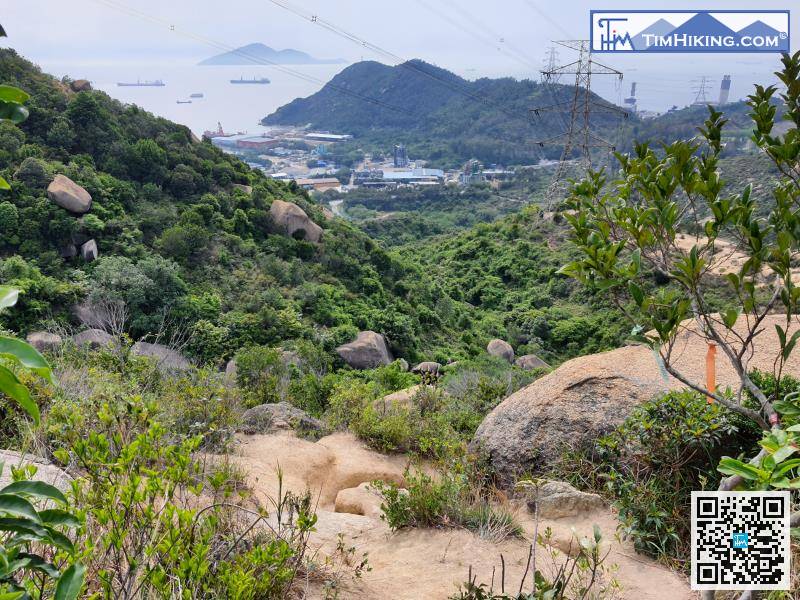


