


 Recommend YouTube


| View : |  | ||
| Difficulty : |  | ||
| Path : | |||
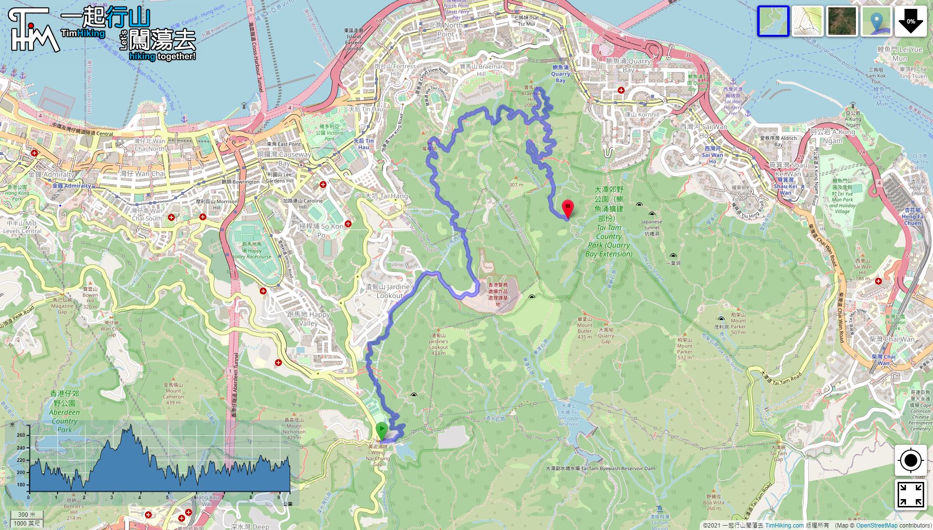
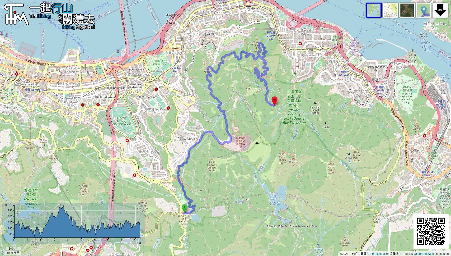
| Length : | 9.4km | ||
| Time : | 3hours | ||
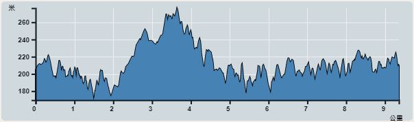 | |
| Ascent : 756m | Descent : 755m |
| Max : 276m | Min : 170m |
| (The accuracy of elevation is +/-30m) | |


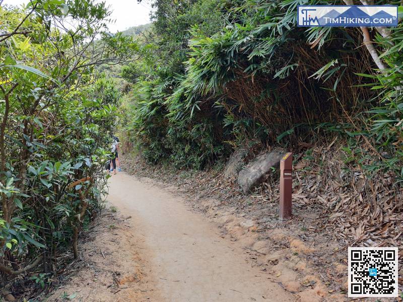
 3︰and turn left at the top of the stairs, remember not to go straight.
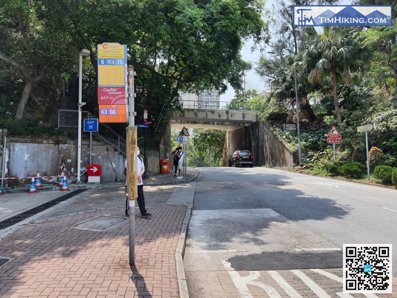
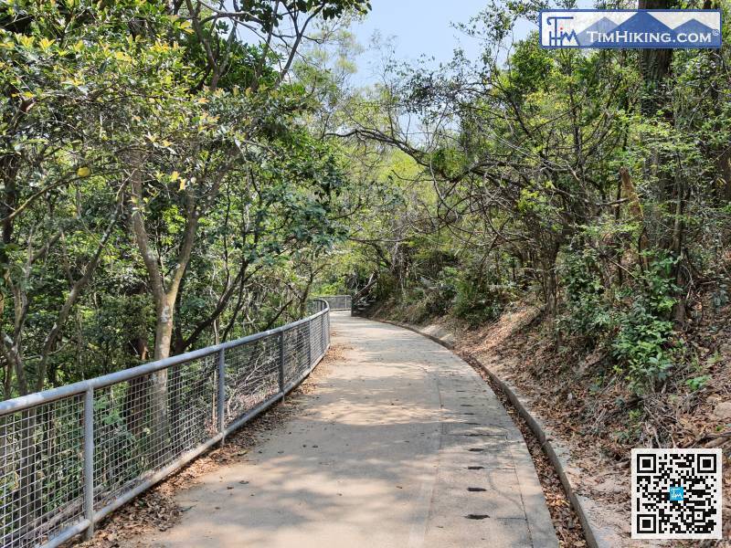
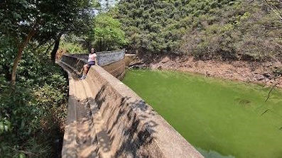
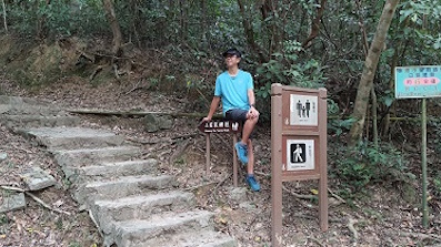
The starting point is Wong Nai Chung Gap. You can take bus 6/41A/76/63/66 to get there and get off at Wong Nai Chung Reservoir Park.
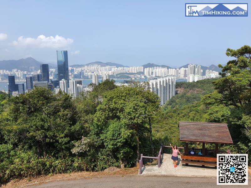
13︰Just next to the pavilion,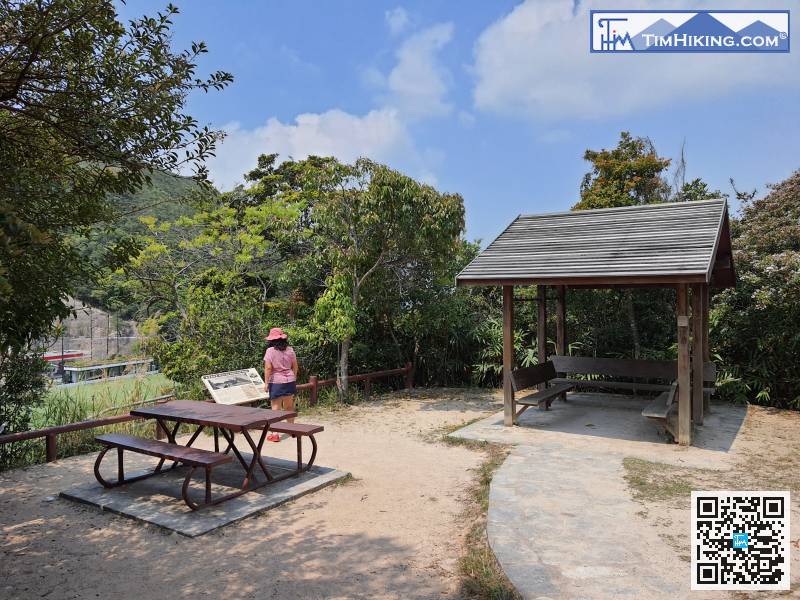
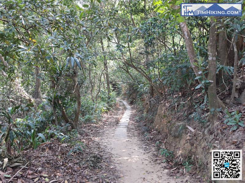
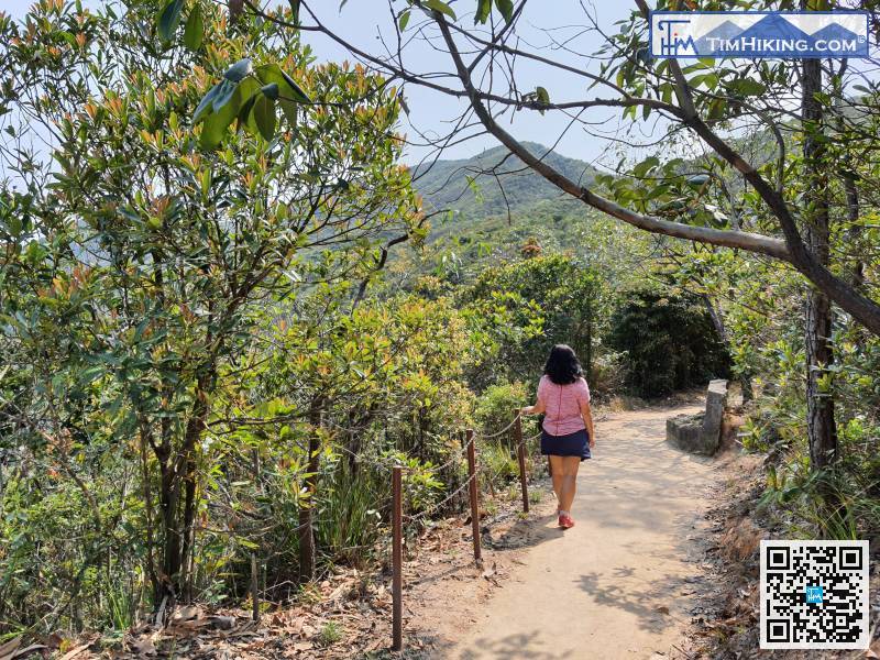
After visiting Sir Cecil's Garden, return to the main path and continue walking.
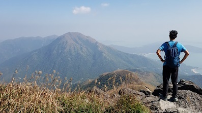
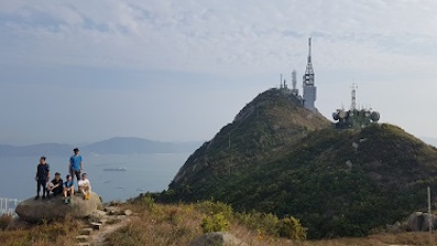
Go forward to the direction of Mount Butler Radio Station, continue uphill,
 69︰and the step up is the shortcut to the end of Sir Cecil's Ride.
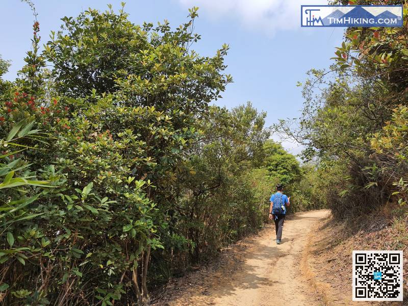 80︰However, it is recommended to go in the direction of the viewing point at the intersection,
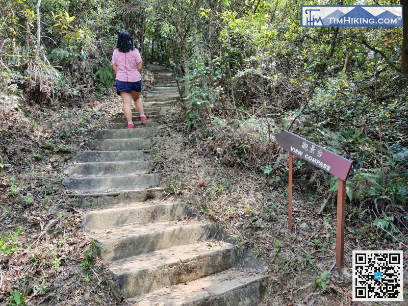
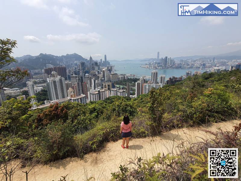
However, it is recommended to go in the direction of the viewing point at the intersection,
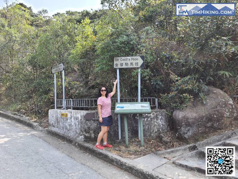
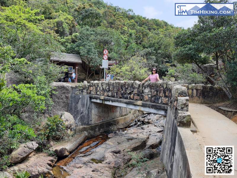
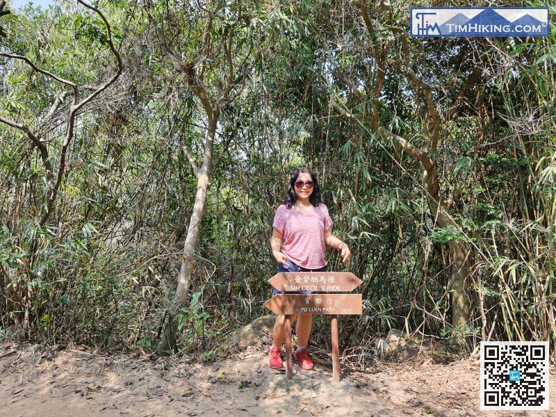
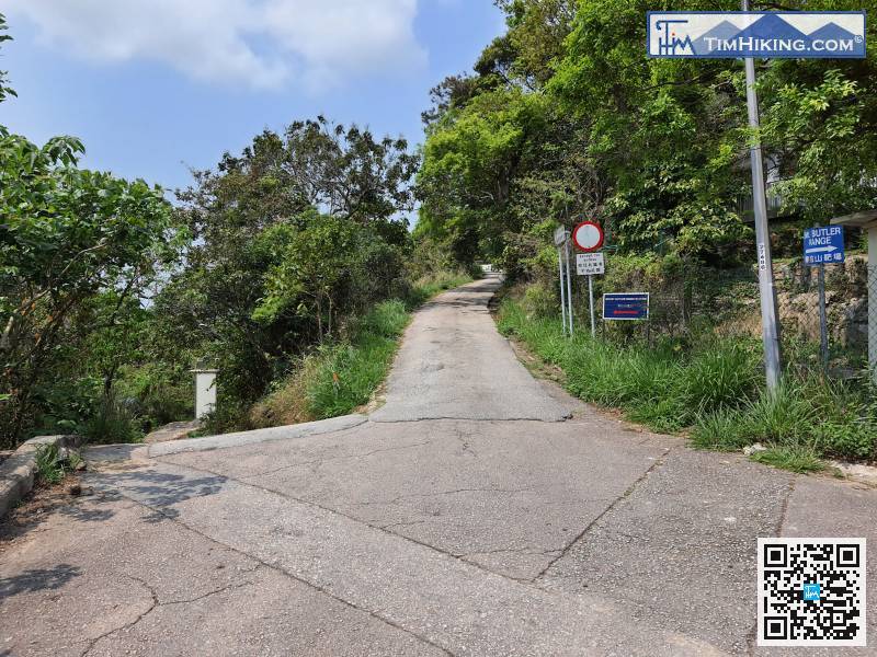
There is a sign for Sir Cecil's Ride at the exit of the trail,


