


 Recommend YouTube


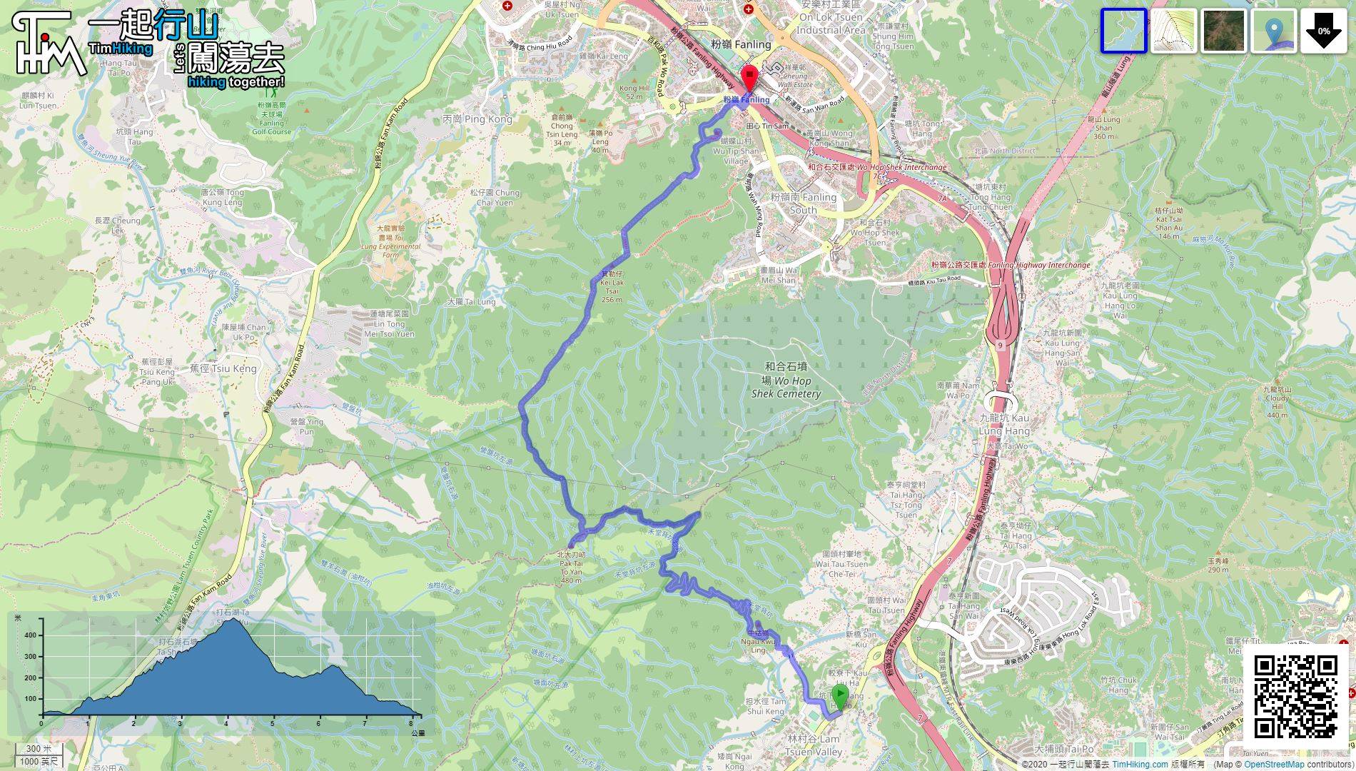
| View : |  | ||
| Difficulty : |  | ||
 (Ngau Kwu Ling) | |||
| Path : | |||
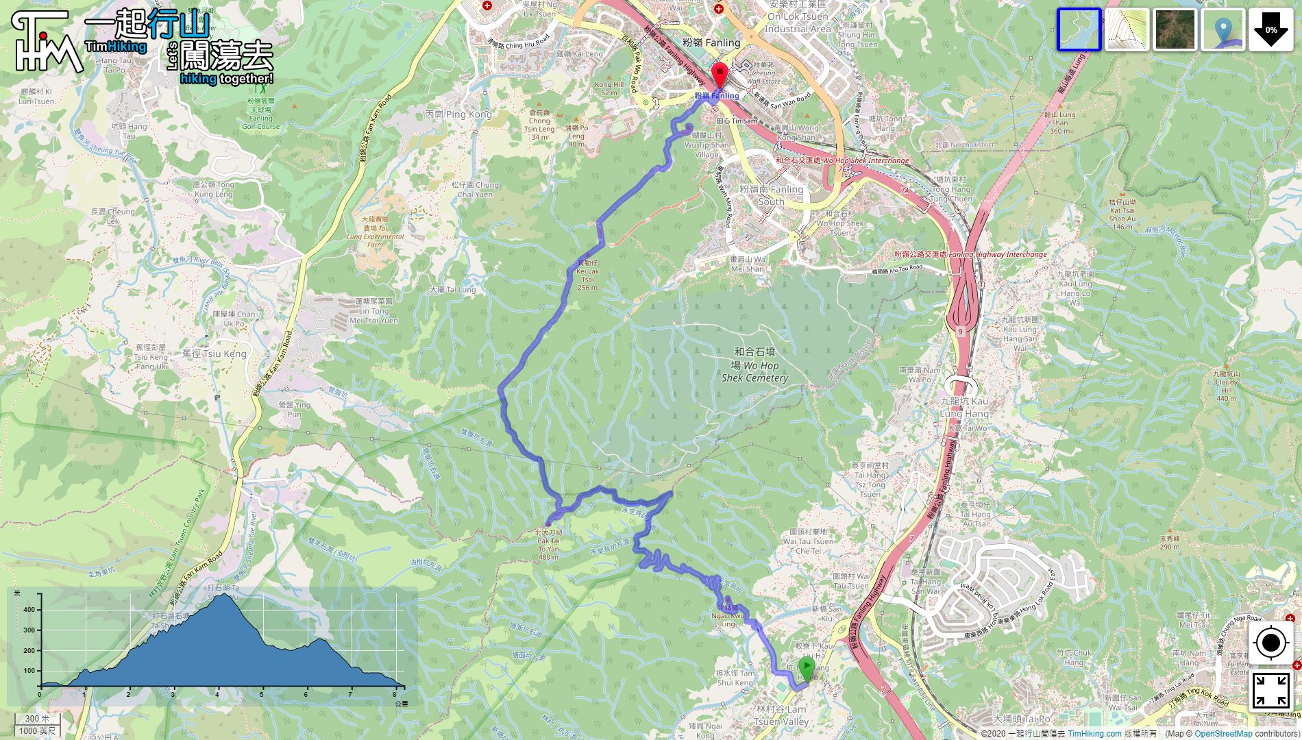
| Length : | 8.3km | ||
| Time : | 3½hours | ||
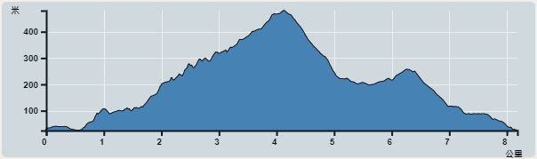 | |
| Ascent : 670m | Descent : 672m |
| Max : 466m | Min : 16m |
| (The accuracy of elevation is +/-30m) | |


 7︰and follow the road on the right-hand side of the training camp.
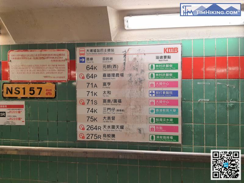
The starting point is near Lam Tsuen Wishing Tree. You can take 64K at Tai Po Market or Tai Wo Station
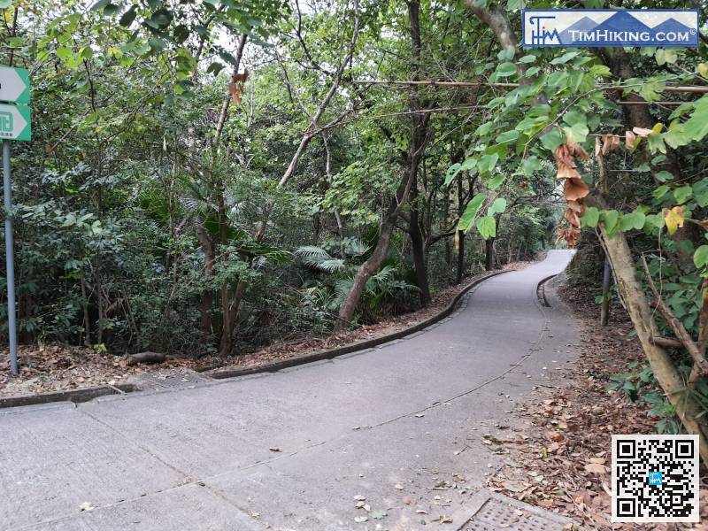
16︰keep to the right and pass through the car gate.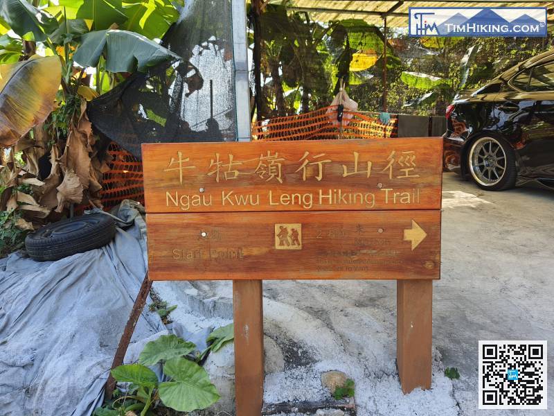
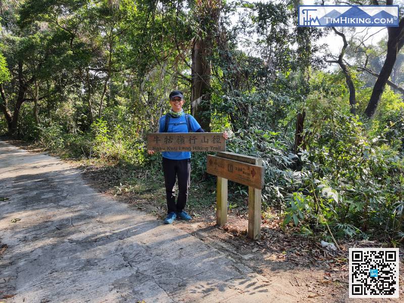
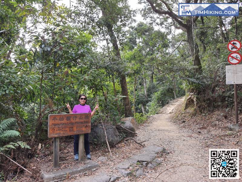
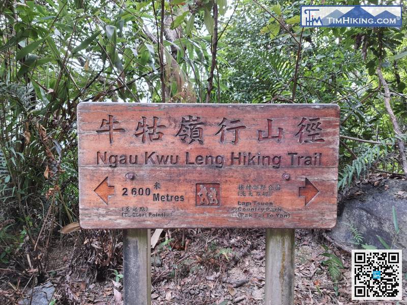
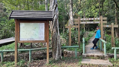
Ngau Kwu Ling Hiking Trail has a lot of big wooden signs, the distance is 2600 meters.
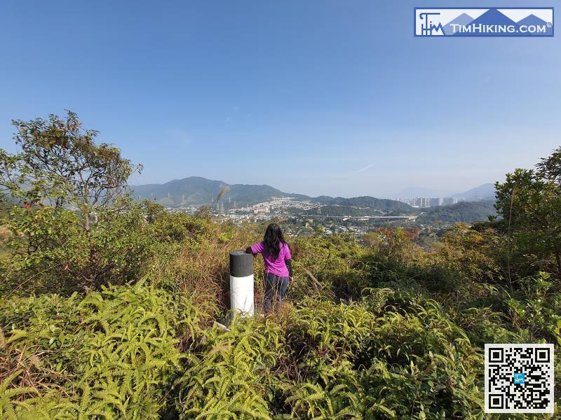
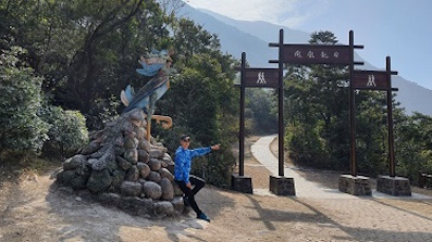
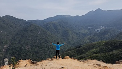
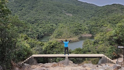
28︰Ngau Kwu Ling mainly looks at Hong Lok Yuen, but because the terrain is not high, the scenery is not vast.
Ngau Kwu Ling mainly looks at Hong Lok Yuen, but because the terrain is not high, the scenery is not vast.
42︰but no matter how narrow the trail is, the road is very clear.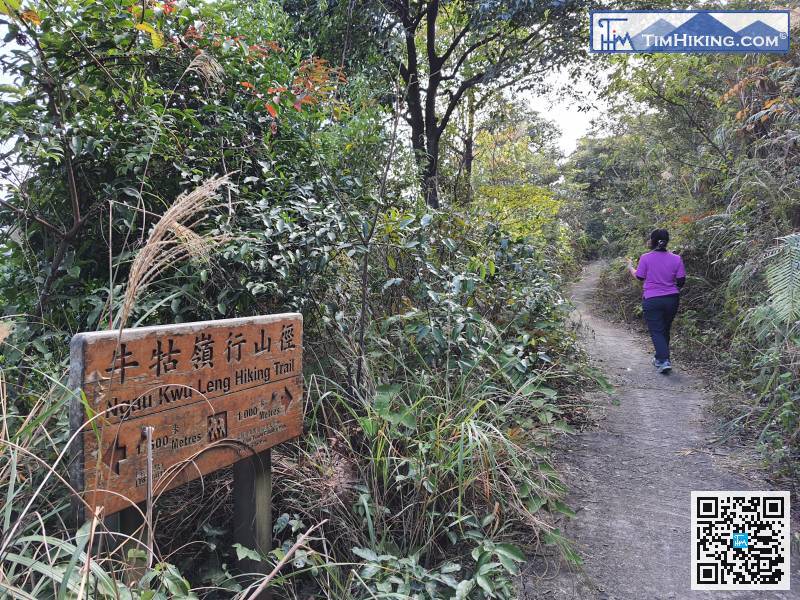
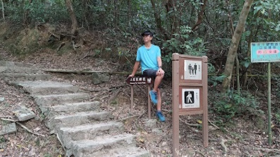
The back section of Ngau Kwu Ling Hiking Trail is narrower than the front section, some grass obscures the road,
 65︰go straight to Pak Tai To Yan.
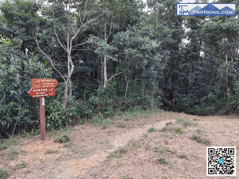 86︰which are also part of the Wu Tip Shan Trail.
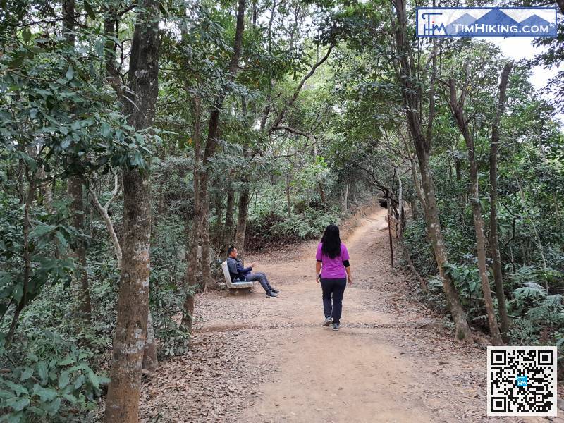 95︰After walking a few steps, will see the trigonometrical station of Kei Lak Tsai, which is just beside the trail,
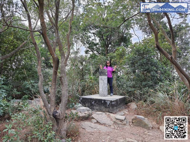
After walking a few steps, will see the trigonometrical station of Kei Lak Tsai, which is just beside the trail,
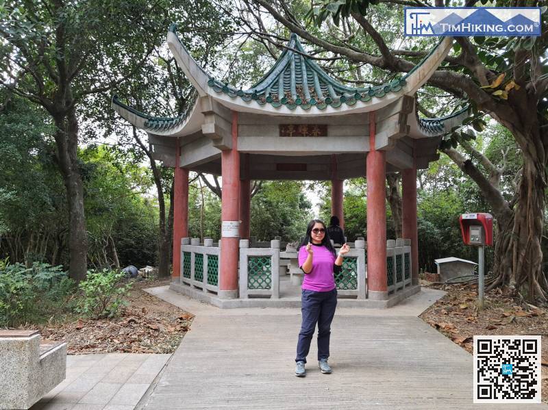
110︰It is a large facility, not as simple as a pavilion.


