


 Recommend YouTube


| View : |  | ||
| Difficulty : |  | ||
| Path : | |||
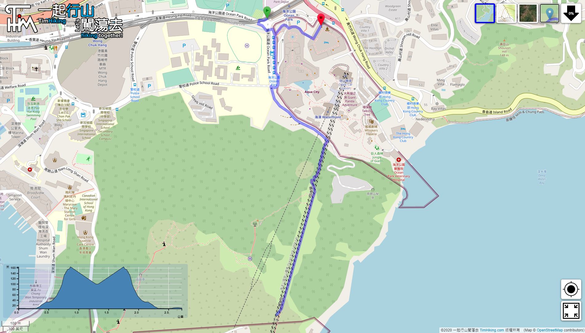
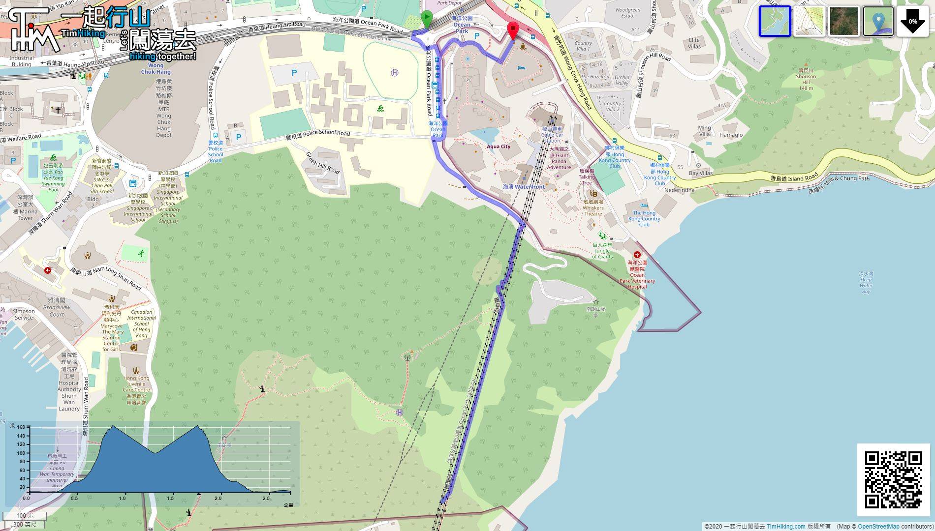
| Length : | 2.8km | ||
| Time : | 1hours | ||
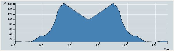 | |
| Ascent : 206m | Descent : 207m |
| Max : 163m | Min : 8m |
| (The accuracy of elevation is +/-30m) | |


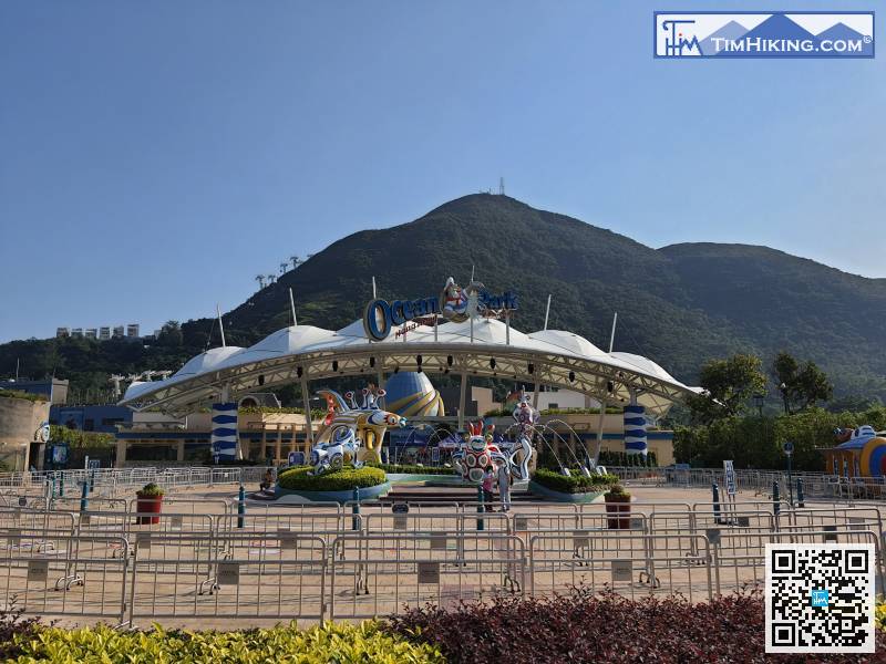
 6︰and the Ocean Park Road is in front.
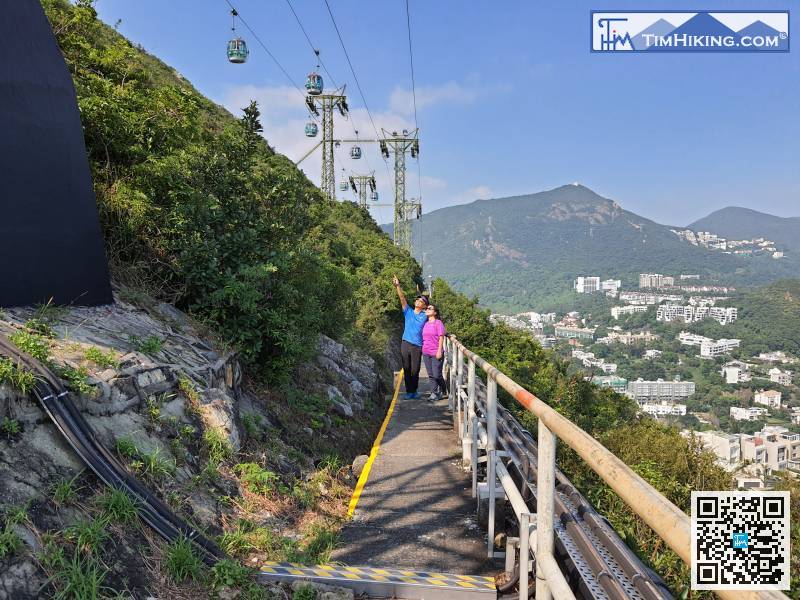
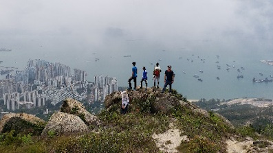
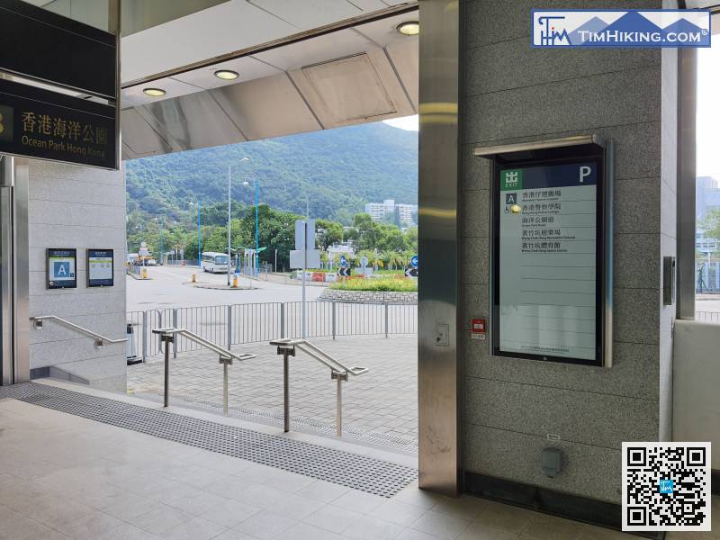 16︰and the visitors on the cable car would greet the hikers from time to time,
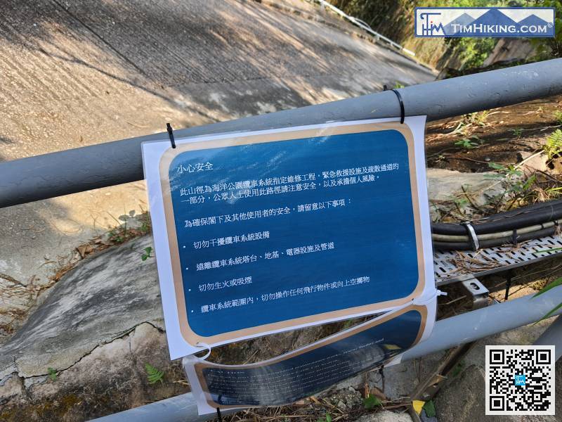
There are Chinese and English safety guidelines at the entrance, which are mainly to remind the visitors not to interfere with the cable car system and not to operate the aerial camera.
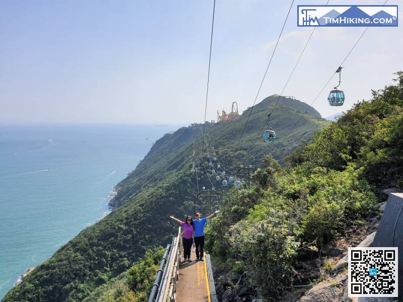
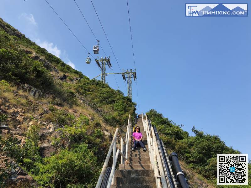
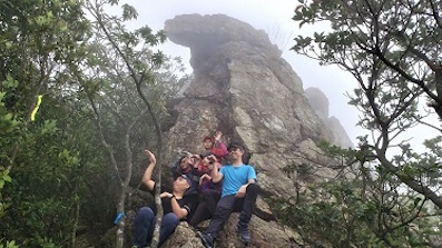
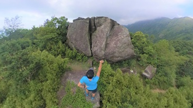
18︰There are multiple official shooting locations along the road, so please feel free to take the shots!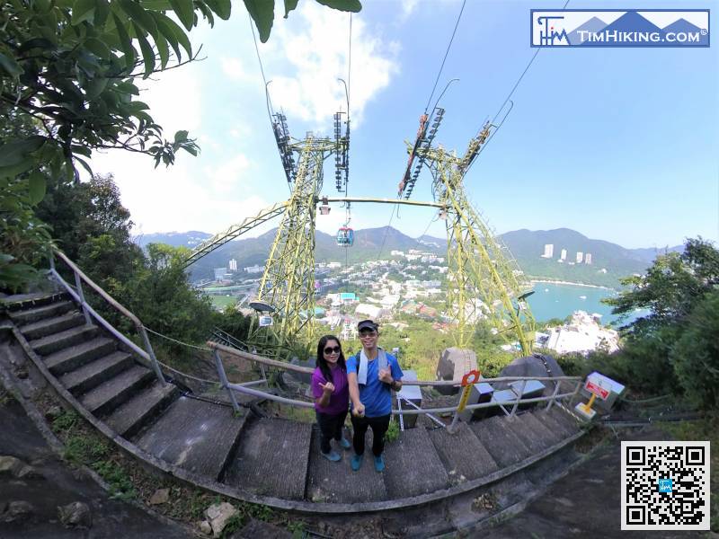
There are multiple official shooting locations along the road, so please feel free to take the shots!
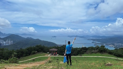
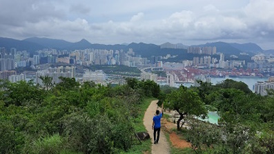
24︰never see this angle over 40 years.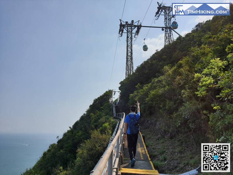


