


 Recommend YouTube


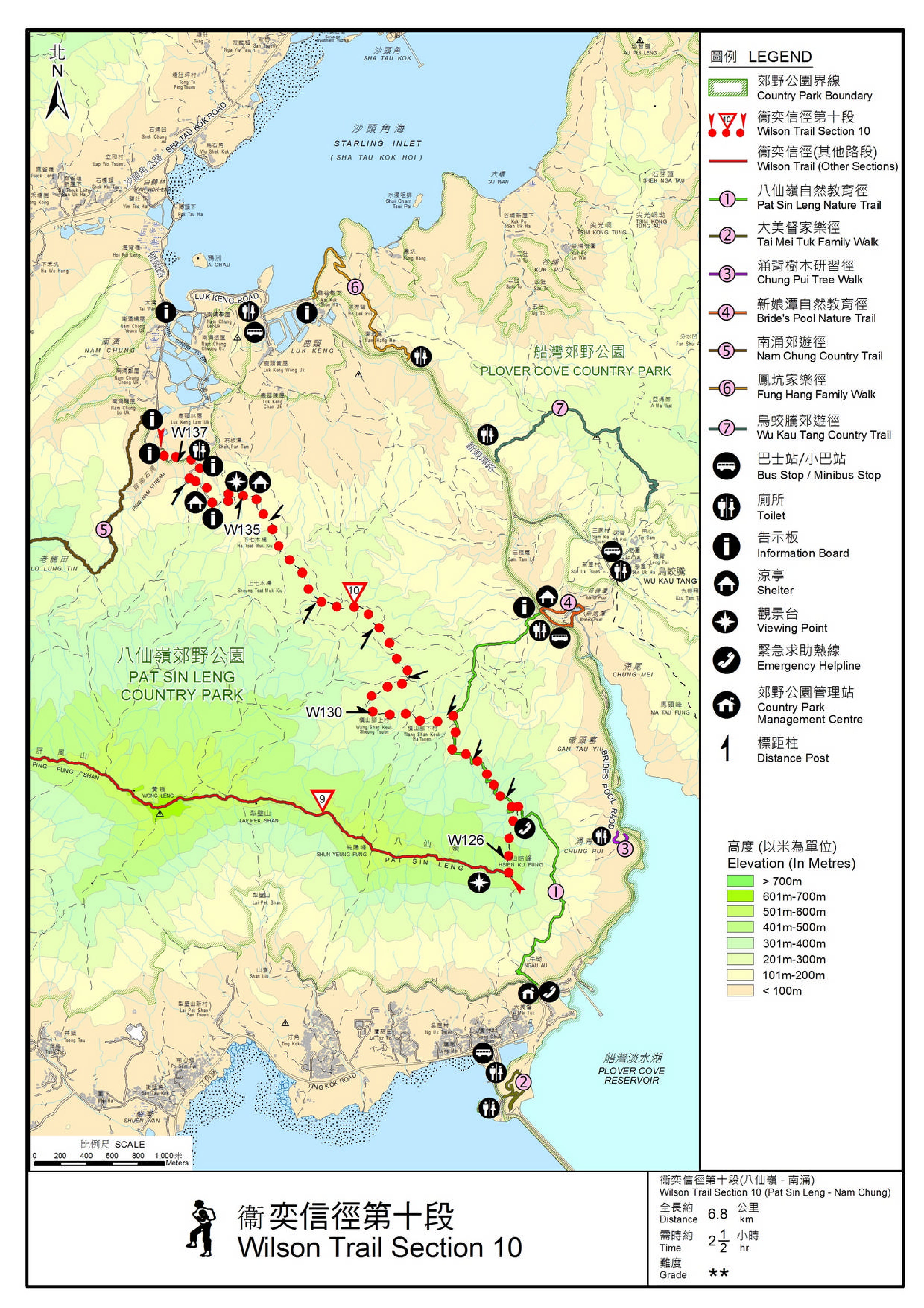
| View : |  | ||
| Difficulty : |  | ||
| Path : | |||
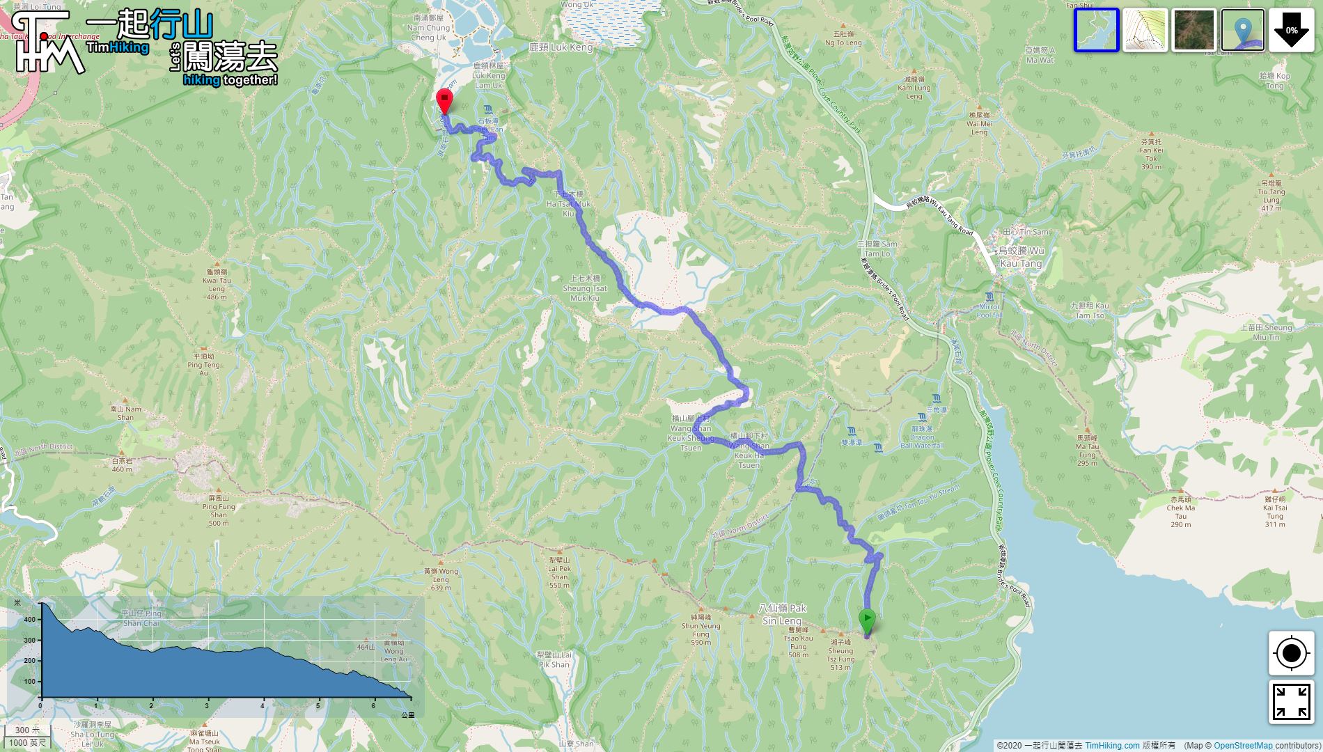
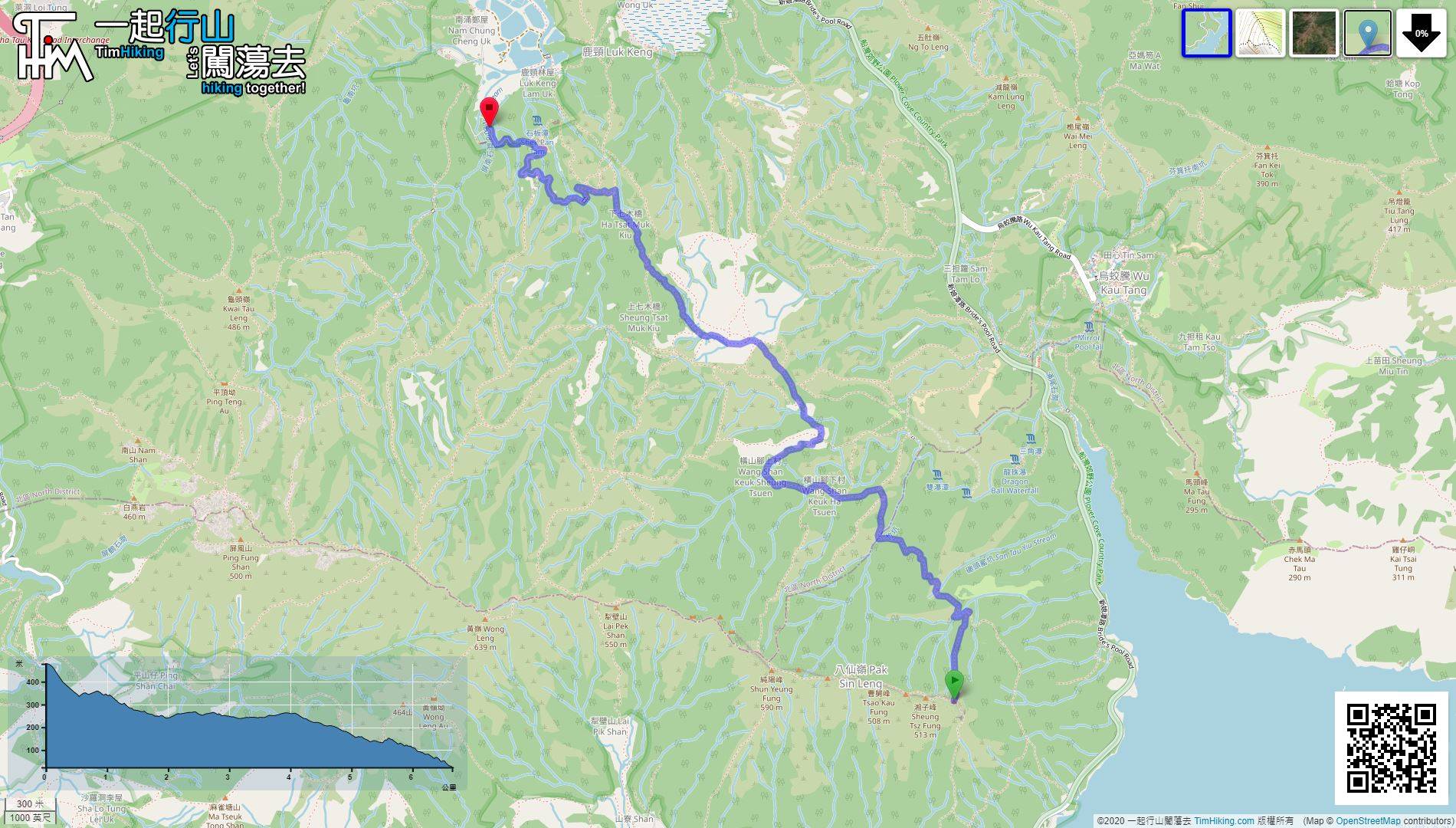
| Length : | 6.7km | ||
| Time : | 2½hours | ||
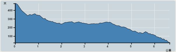 | |
| Ascent : 184m | Descent : 632m |
| Max : 478m | Min : 24m |
| (The accuracy of elevation is +/-30m) | |


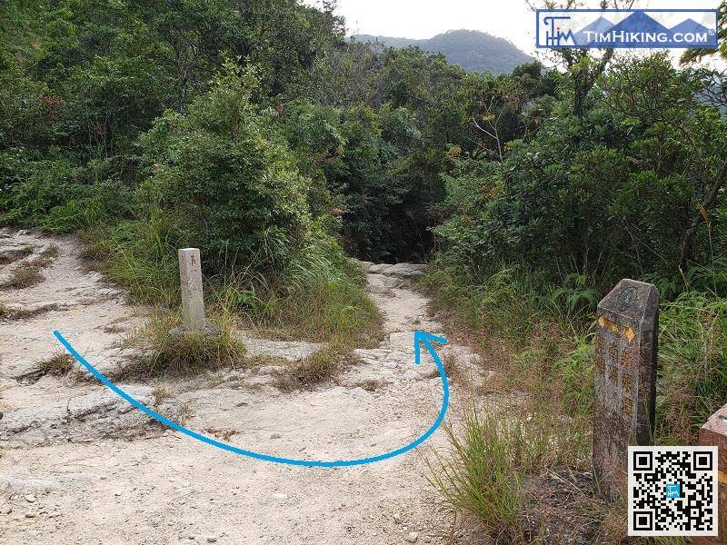
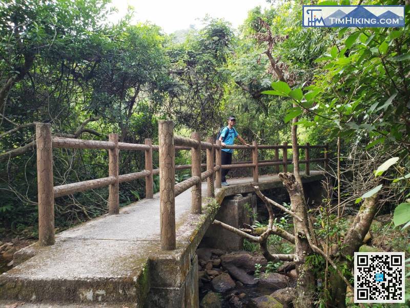
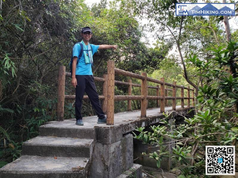
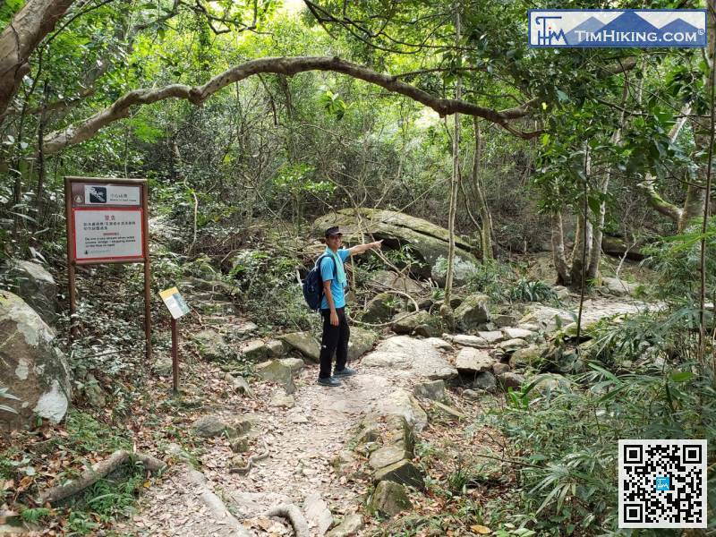
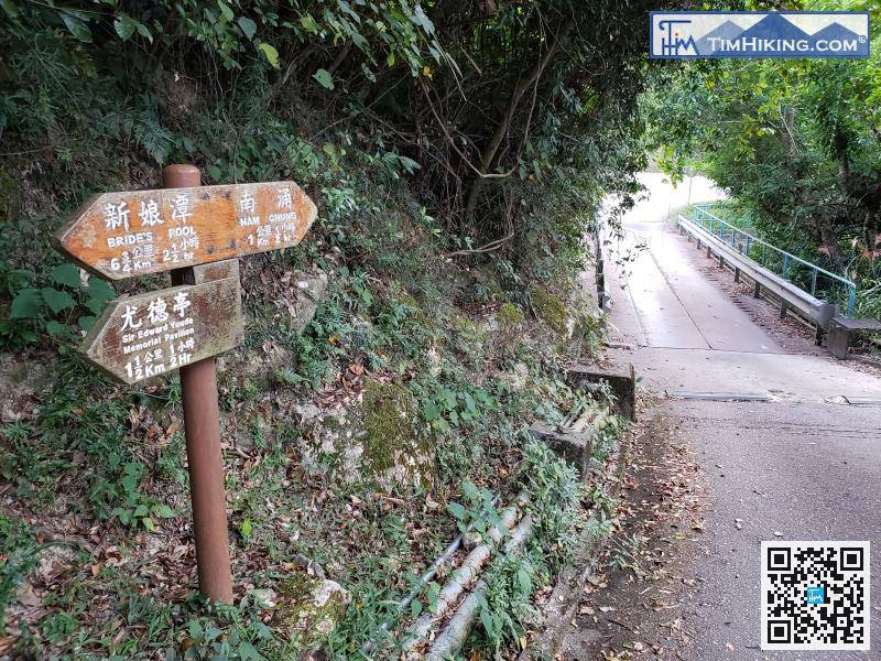
At that moment, need to make a sharp turn to the left.
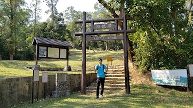
Leaving Tsat Muk Kiu and also leaving Wang Tsat Ancient Trail.

Official Map


