


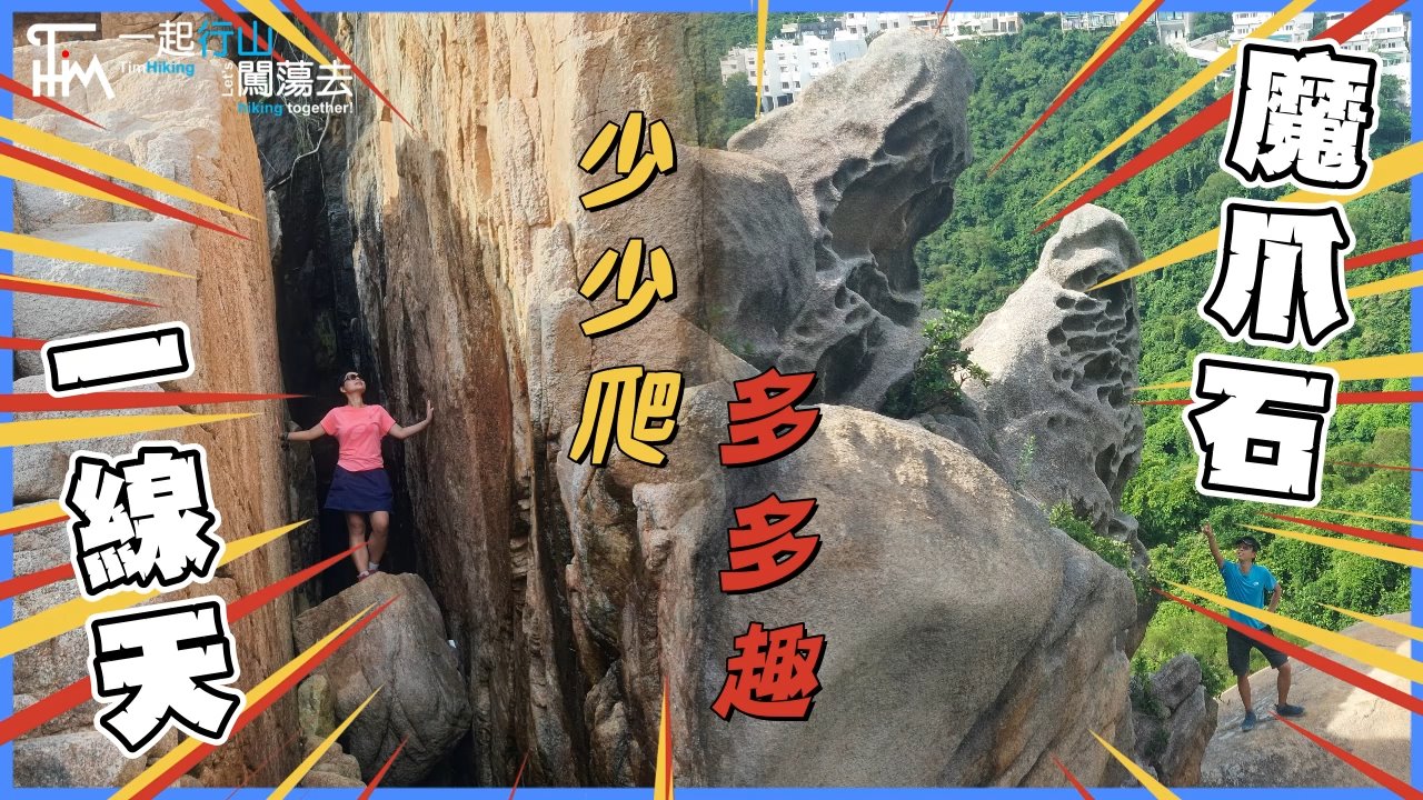
 Recommend YouTube


| View : |  | ||
| Difficulty : |  | ||
| Path : | |||
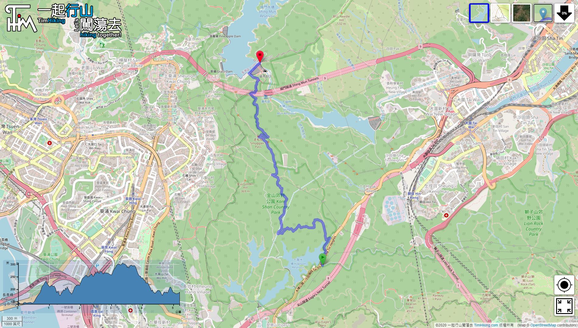
| Length : | 5.3km | ||
| Time : | 2hours | ||
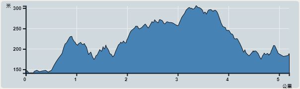 | |
| Ascent : 404m | Descent : 358m |
| Max : 305m | Min : 140m |
| (The accuracy of elevation is +/-30m) | |


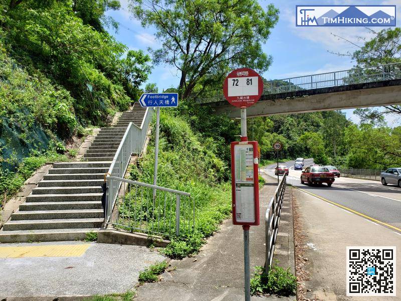
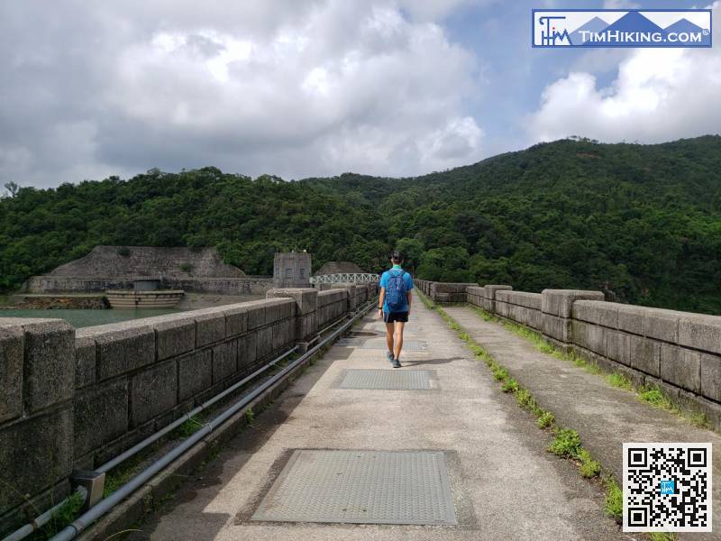
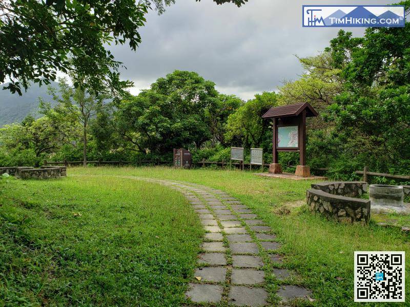
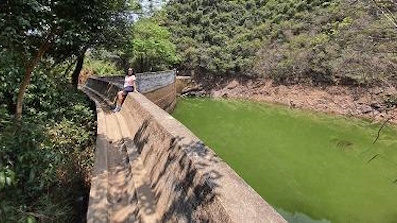
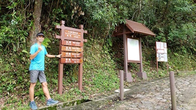
To get to the starting point, take bus 72/81 and get off at Kowloon Reservoir. The starting point is after the pedestrian overpass.
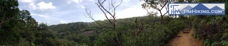

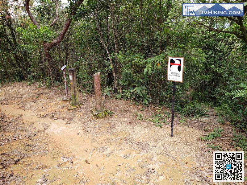
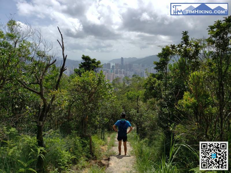
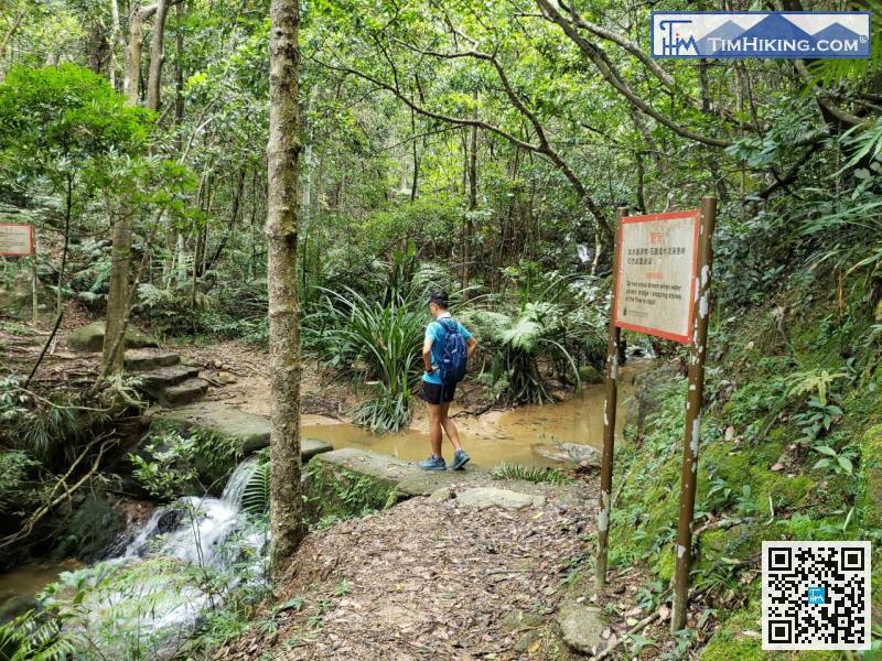
If encountering a bifurcated road, continue to keep on a wide main path,
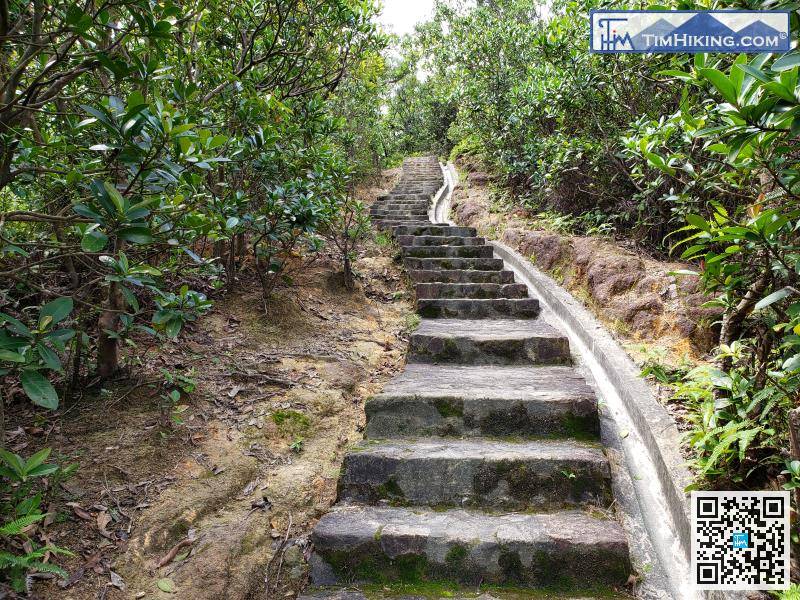
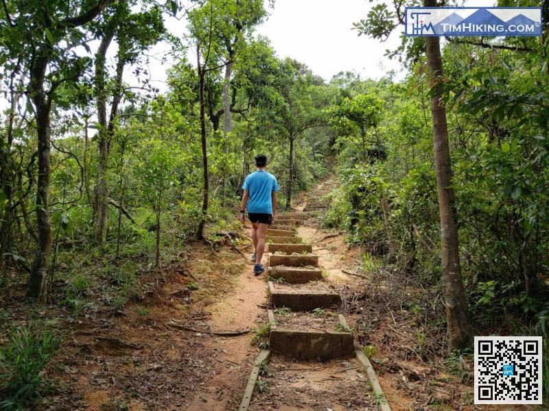
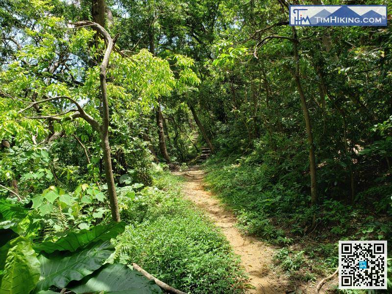
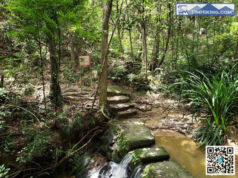
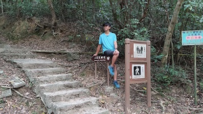
At the beginning of the second half section, there is also a relatively long step,
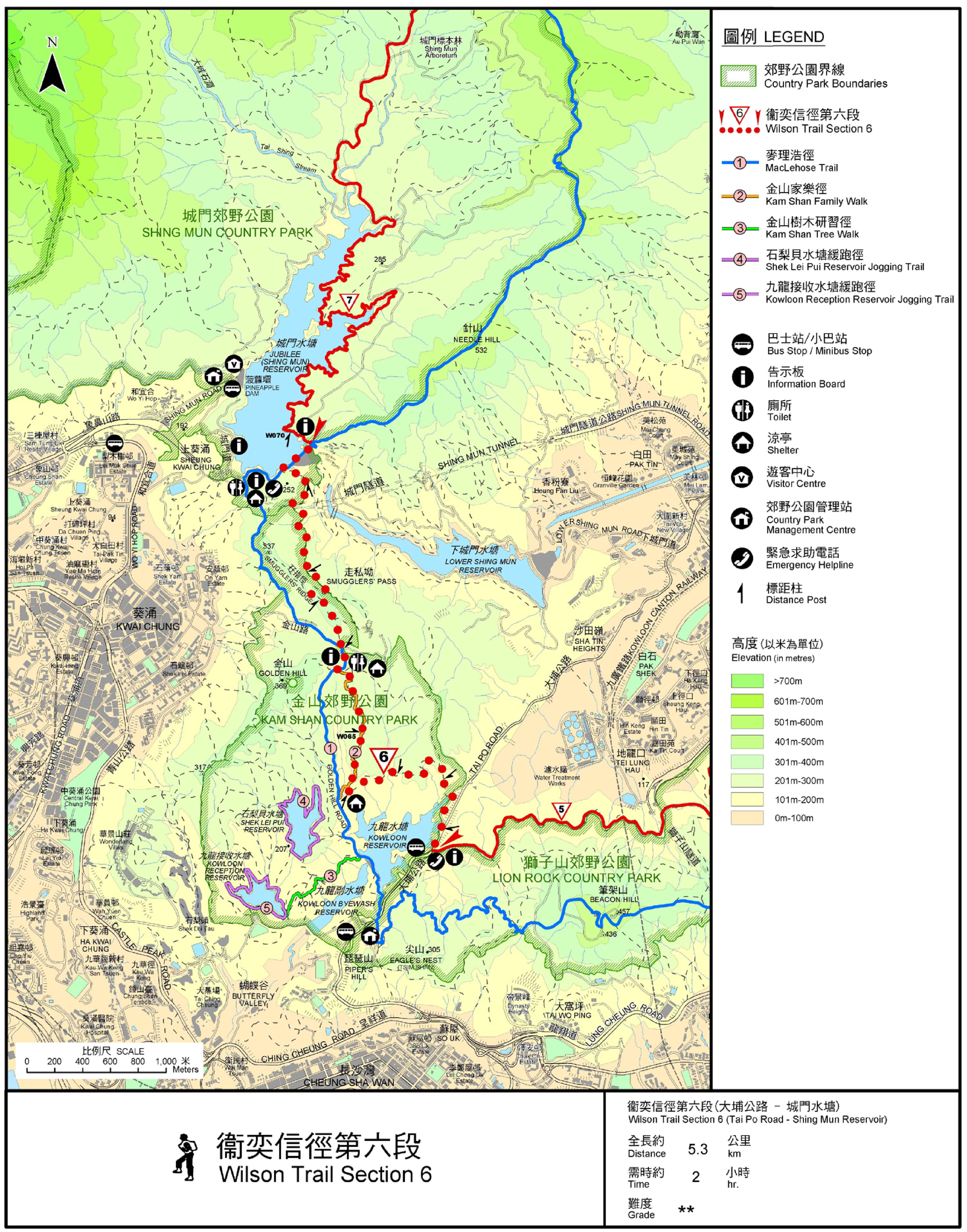
Official Map


