


 Recommend YouTube

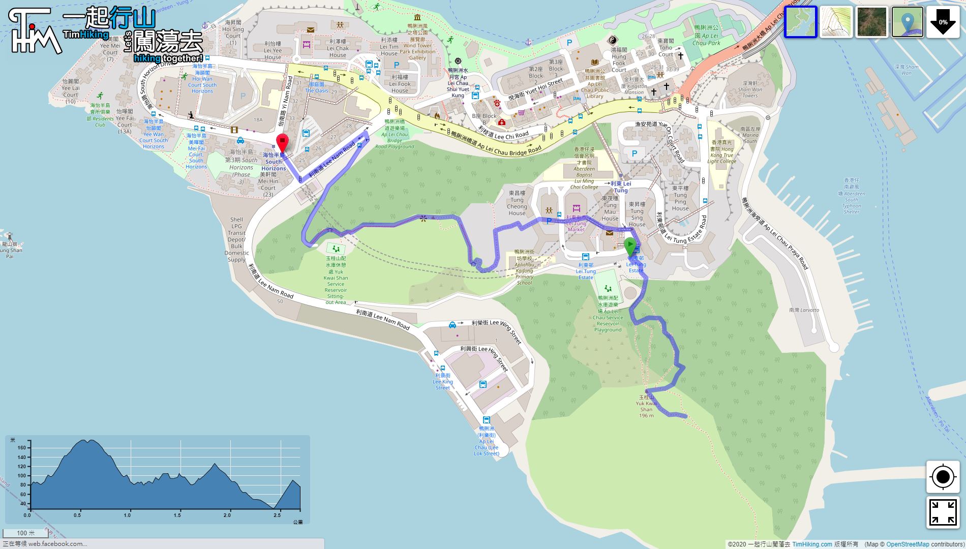

| View : |  | ||
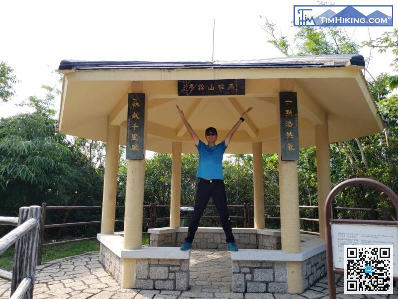
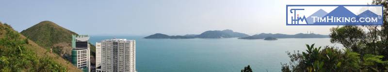
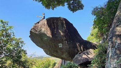
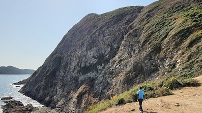
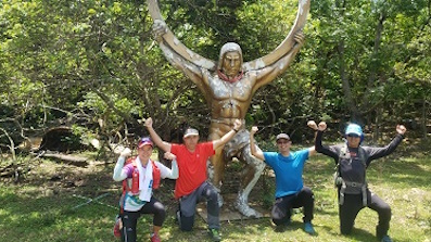
| Difficulty : |  (Real Yuk Kwai Shan) | ||
 (Fake Yuk Kwai Shan) | |||
| Path : | |||
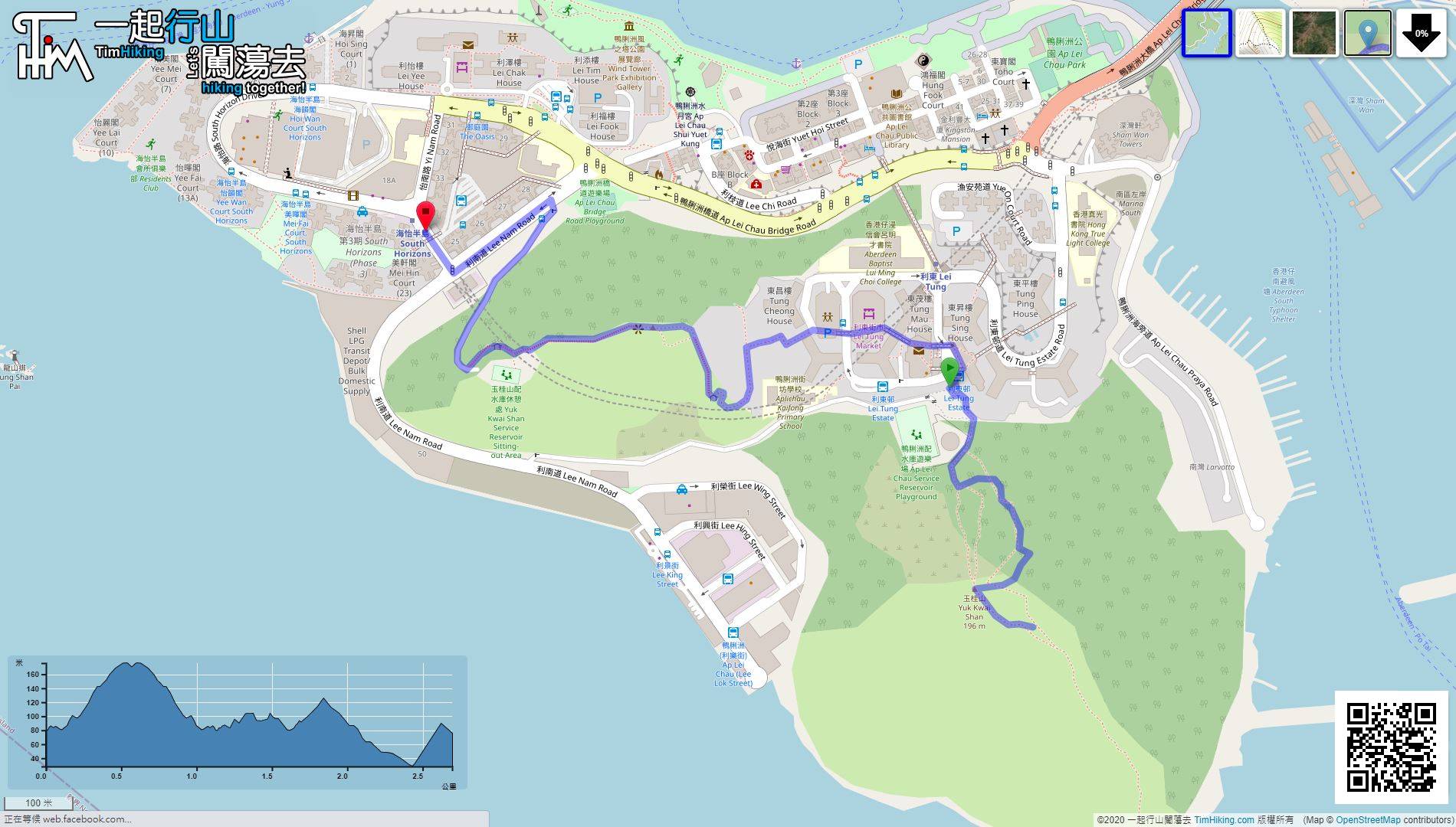
| Length : | 2.7km | ||
| Time : | 1½hours | ||
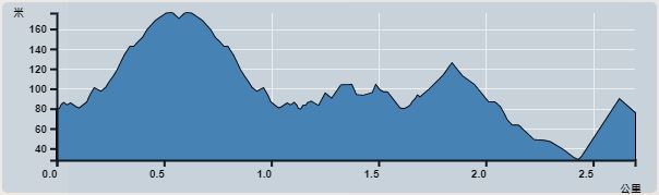 | |
| Ascent : 264m | Descent : 278m |
| Max : 176m | Min : 28m |
| (The accuracy of elevation is +/-30m) | |


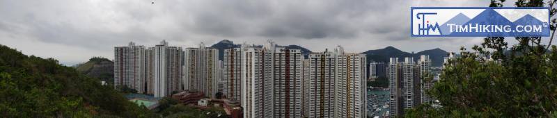
 Lei Tung Estate
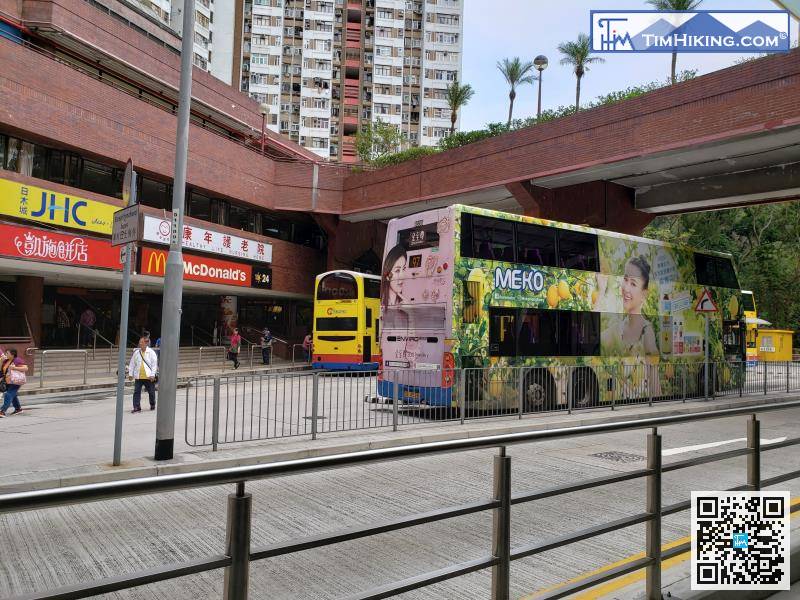
After walking through the long MTR corridor, take the elevator and leave from Exit B, already come to the Lei Tung Estate bus terminal.

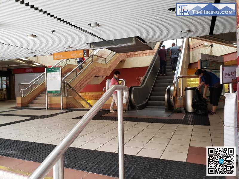
Next to Fake Yuk Kwai Shan, first enter Lei Tung Estate shopping mall,
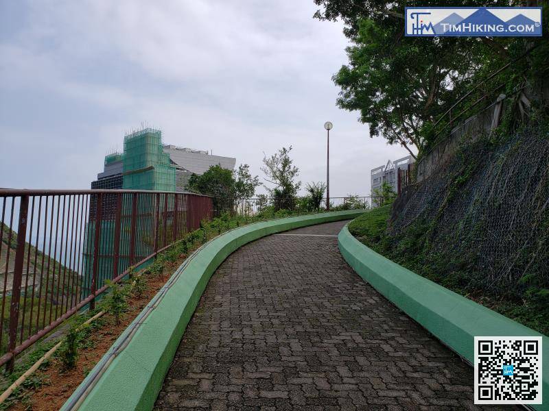
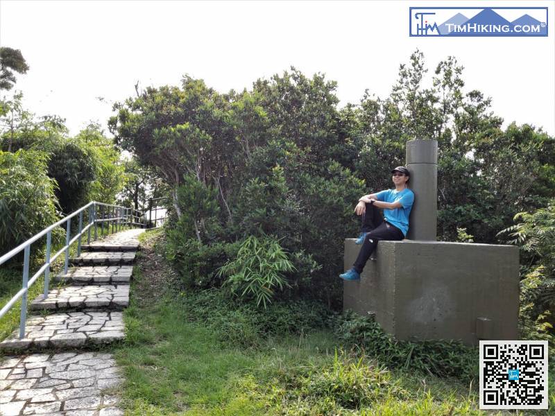
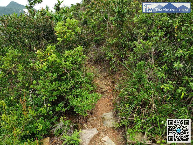
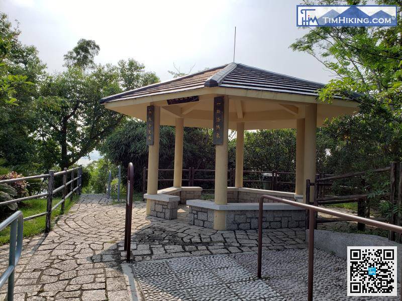
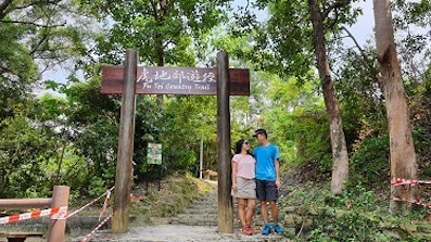
The whole trail is an official mountain trail, which is clear and easy to walk.


