


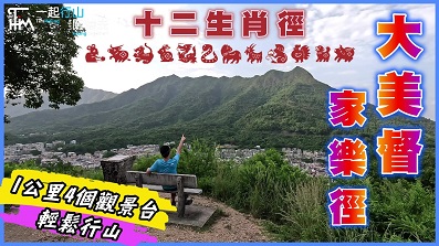
 Recommend YouTube

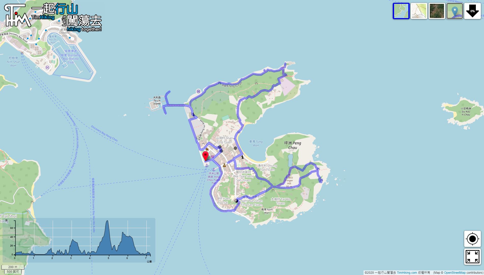

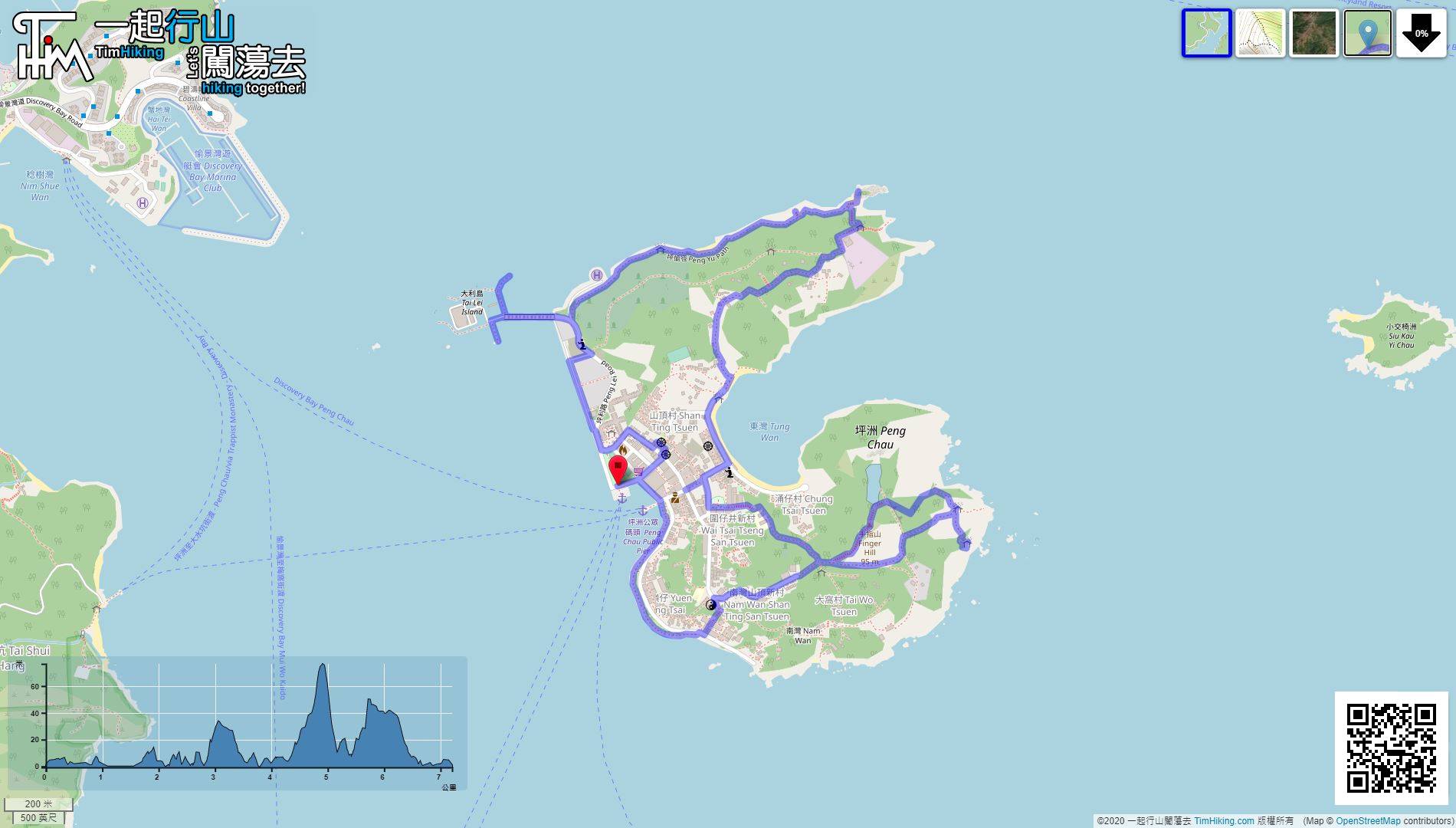
| View : |  | ||
| Difficulty : |  | ||
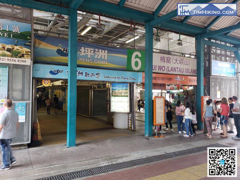
| Path : | |||
| Length : | 7.3km | ||
| Time : | 3½hours | ||
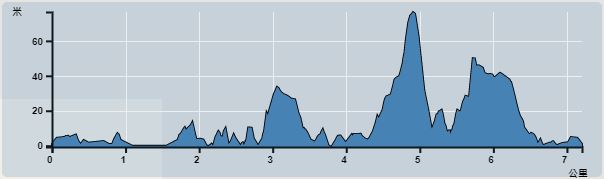 | |
| Ascent : 251m | Descent : 255m |
| Max : 77m | Min : 0m |
| (The accuracy of elevation is +/-30m) | |


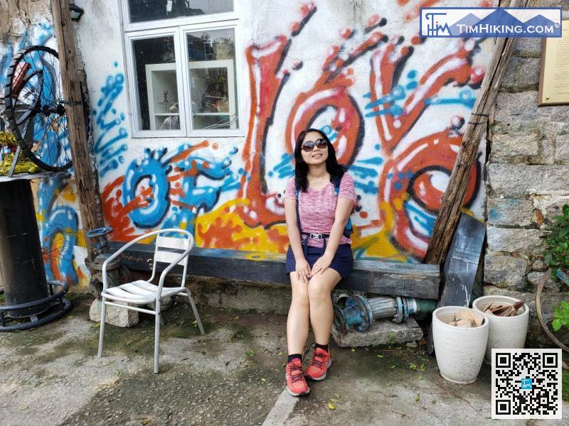
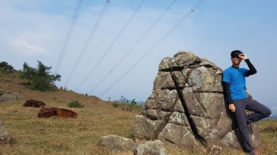
The old cowhide factory covers a large area
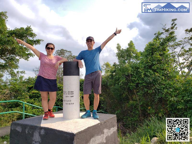
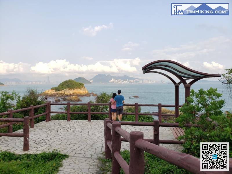
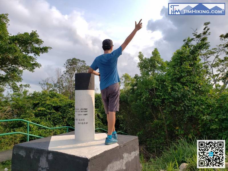
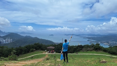
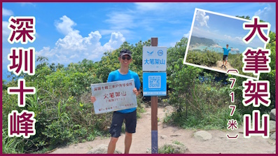
There is a trigonometrical station on the top of Finger Hill,
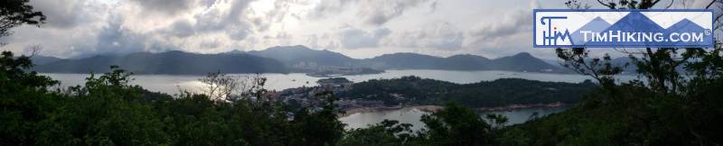
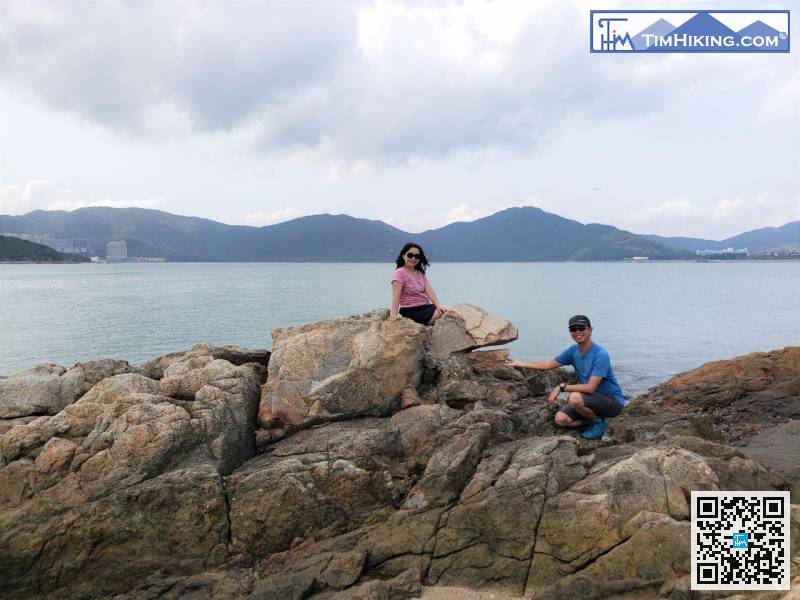
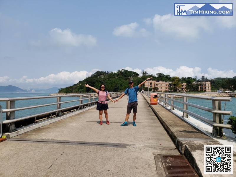
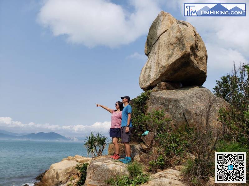
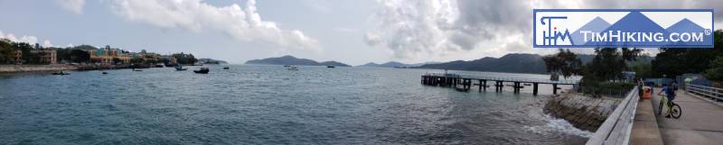
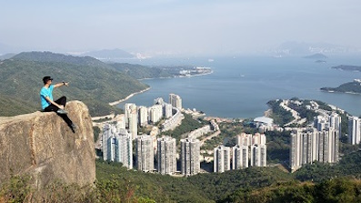
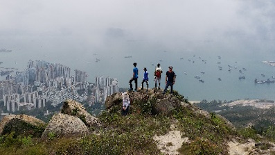
Enjoying the perfect scenery, return to the concrete road,


