


 Recommend YouTube


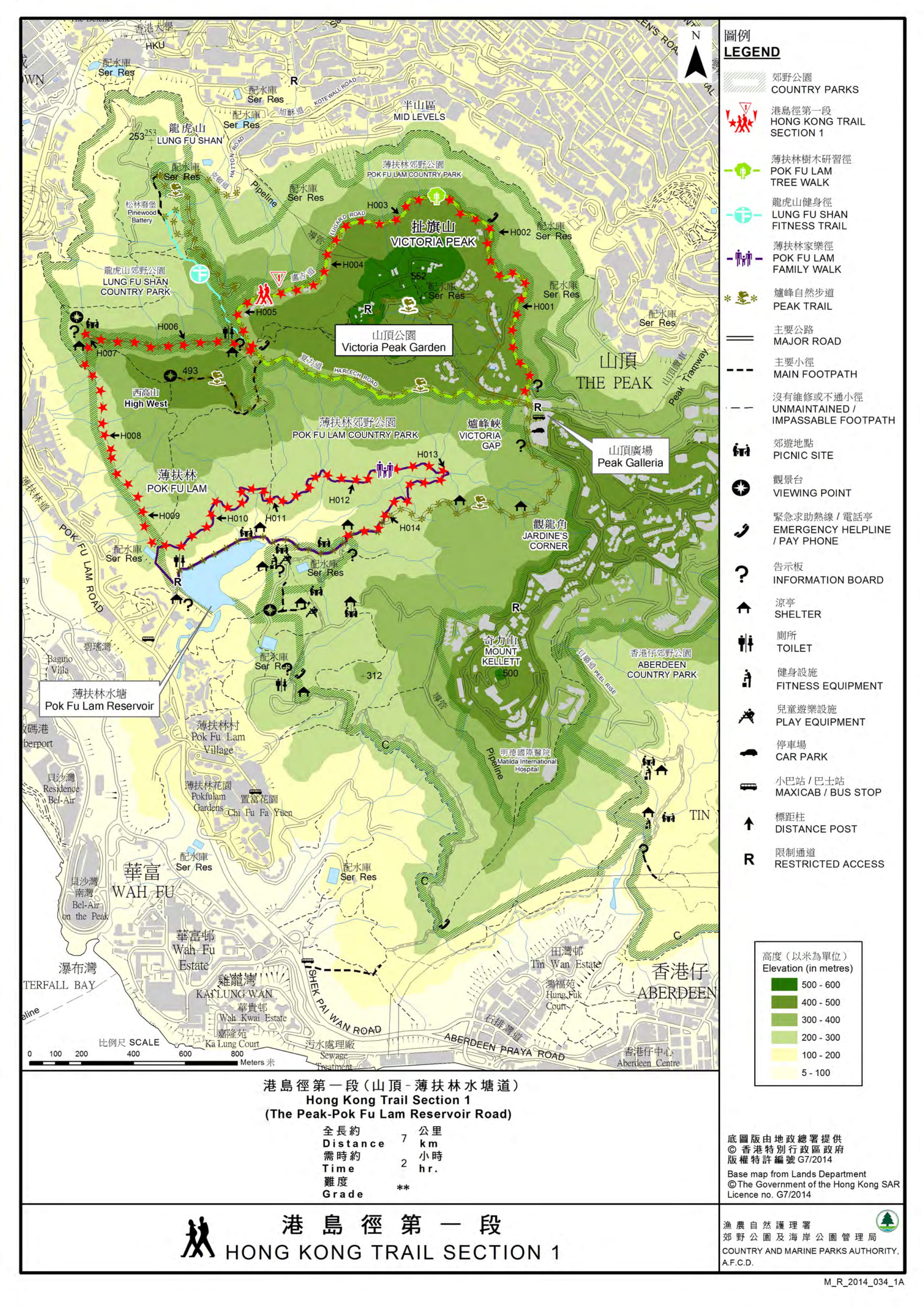
| View : |  | ||
| Difficulty : |  | ||
| Path : | |||
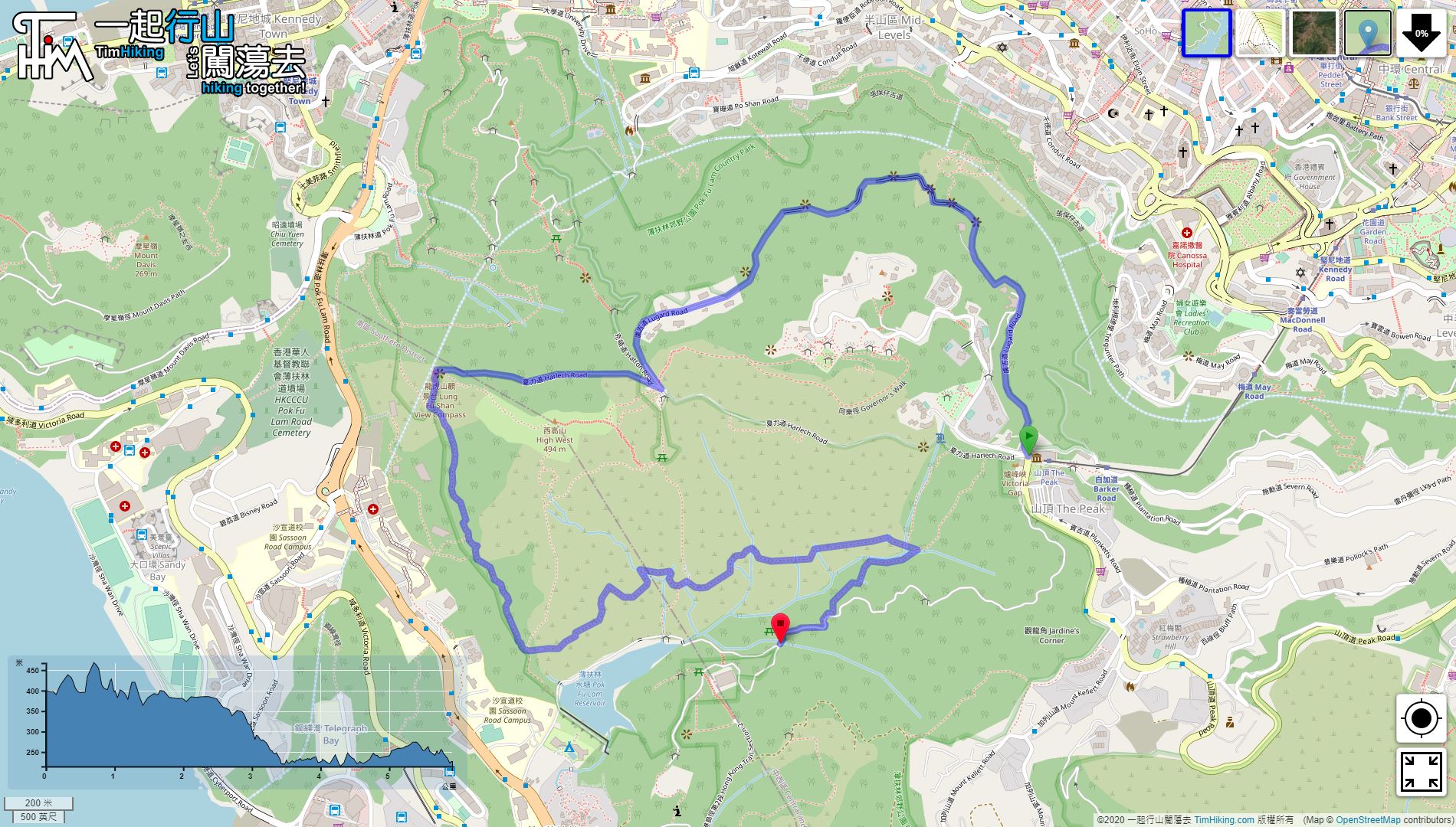
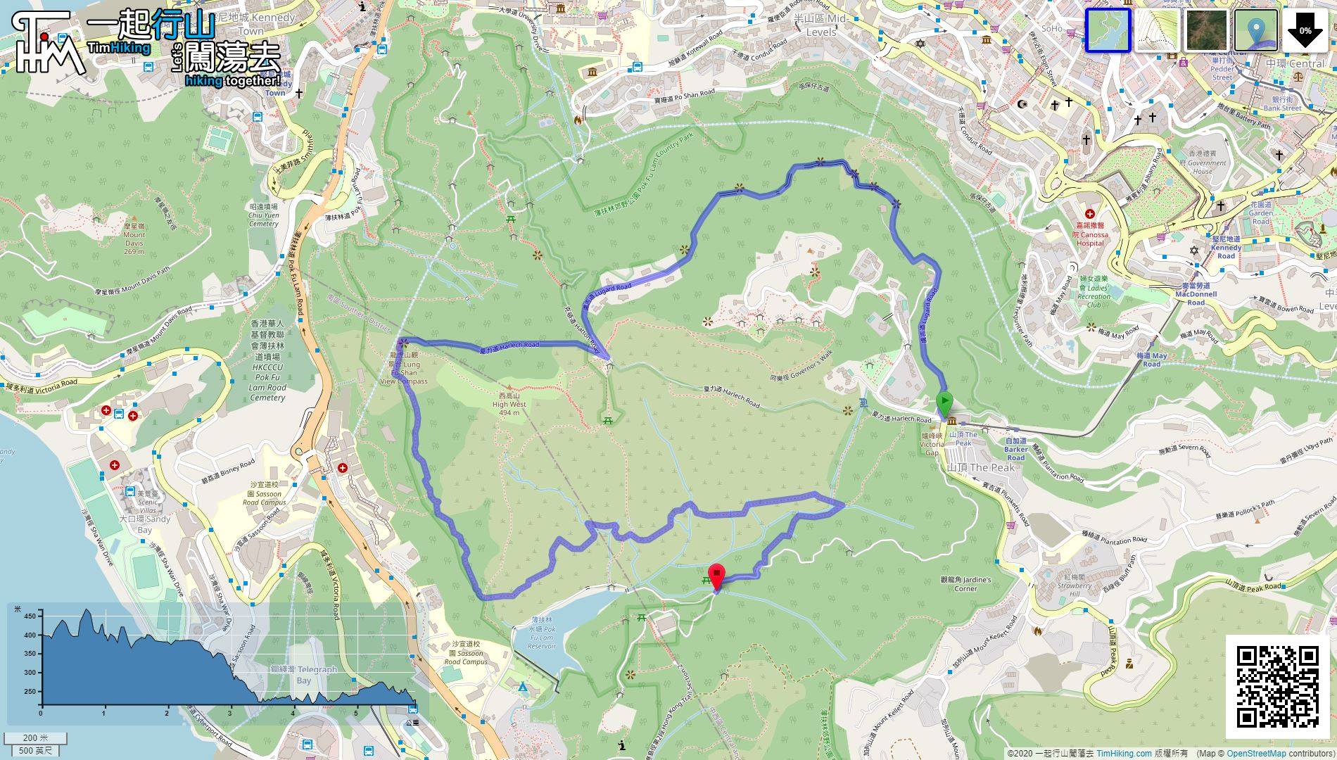
| Length : | 6.1km | ||
| Time : | 2hours | ||
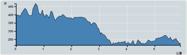 | |
| Ascent : 583m | Descent : 750m |
| Max : 478m | Min : 215m |
| (The accuracy of elevation is +/-30m) | |


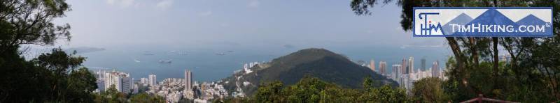
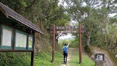
 1︰First, go to Peak Galleria. You can take various means of transportation, including minibuses, buses, and cable cars.
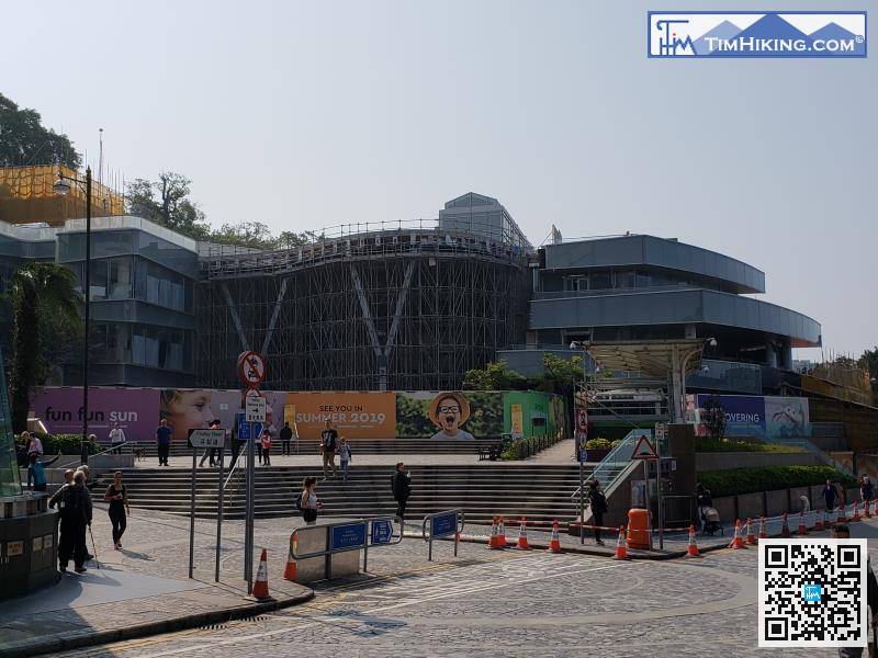
First, go to Peak Galleria. You can take various means of transportation, including minibuses, buses, and cable cars.
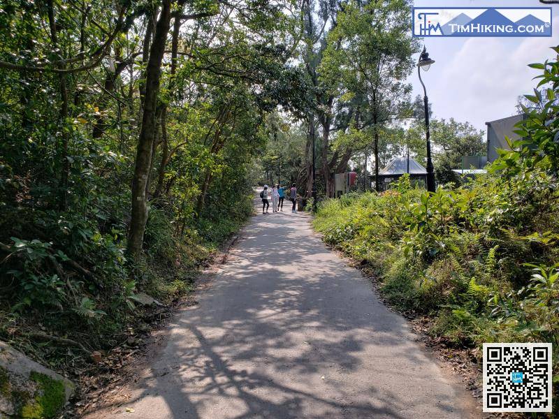
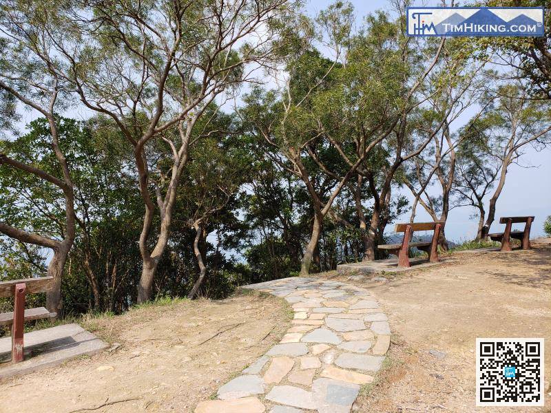
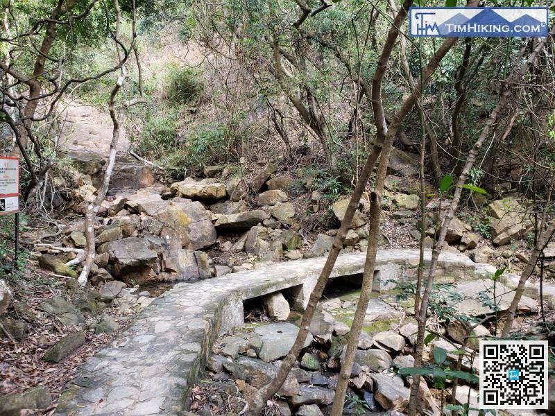
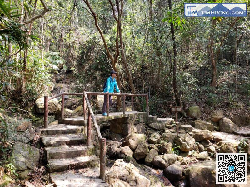
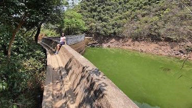
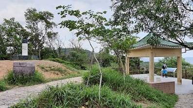
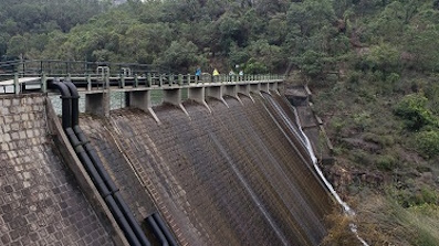
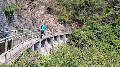
This road is also the Pok Fu Lam Family Trail. There will be many small streams along the way.
Official Map


