


 Recommend YouTube

| View : |  | ||
| Difficulty : |  | ||
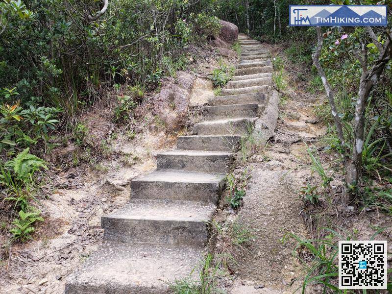
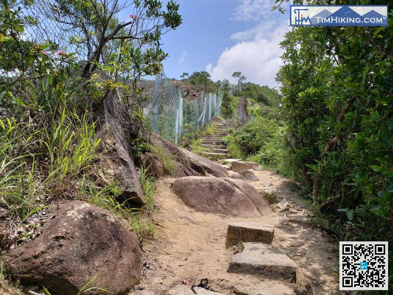
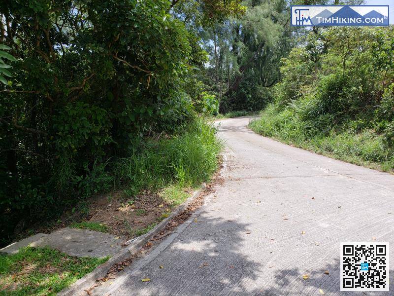
| Path : | |||
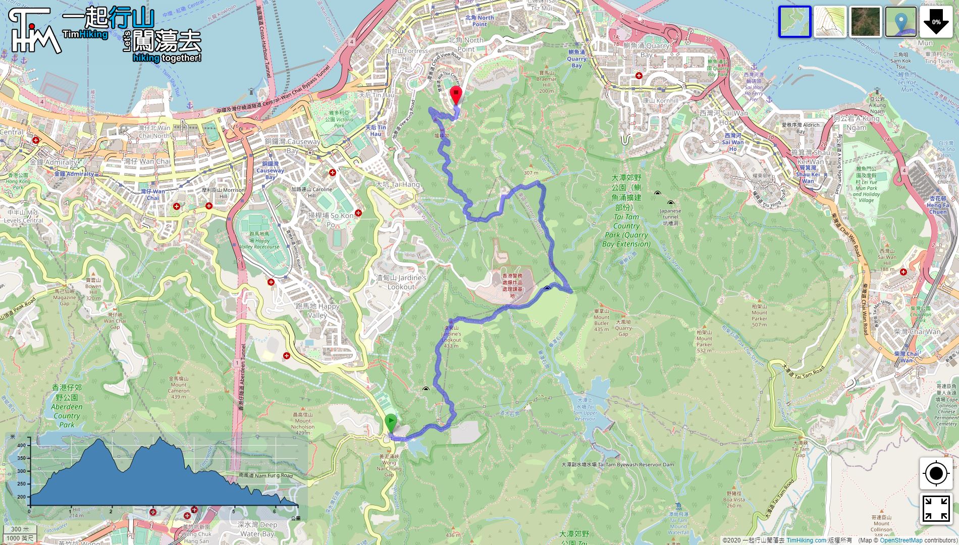
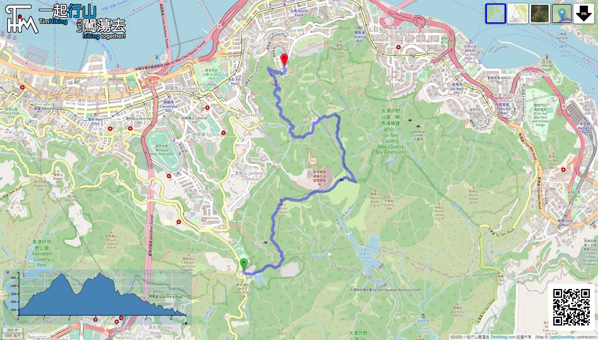
| Length : | 6.6km | ||
| Time : | 4hours | ||
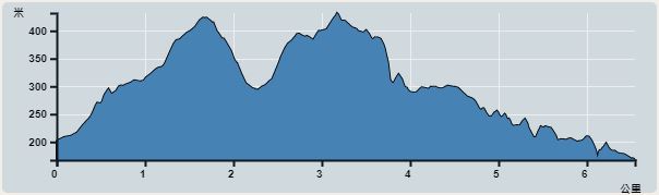 | |
| Ascent : 497m | Descent : 528m |
| Max : 432m | Min : 167m |
| (The accuracy of elevation is +/-30m) | |


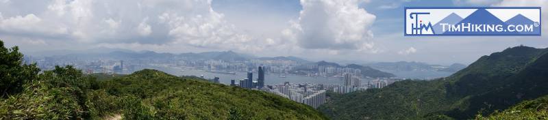
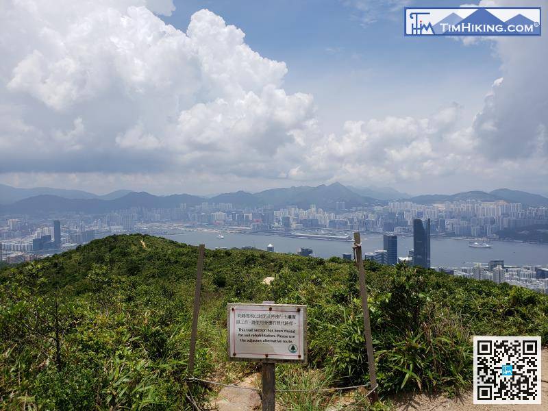
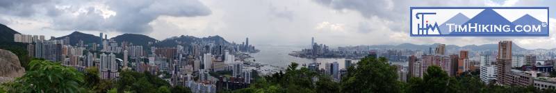
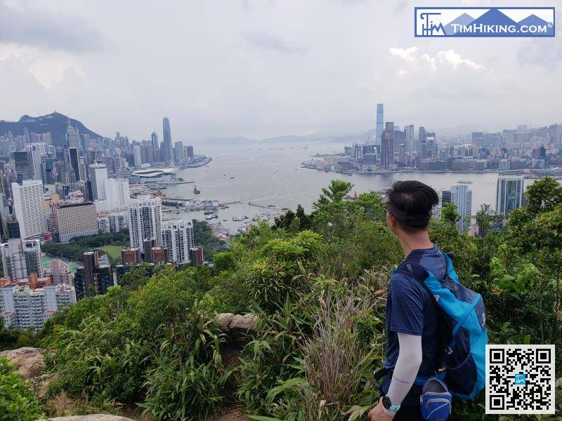
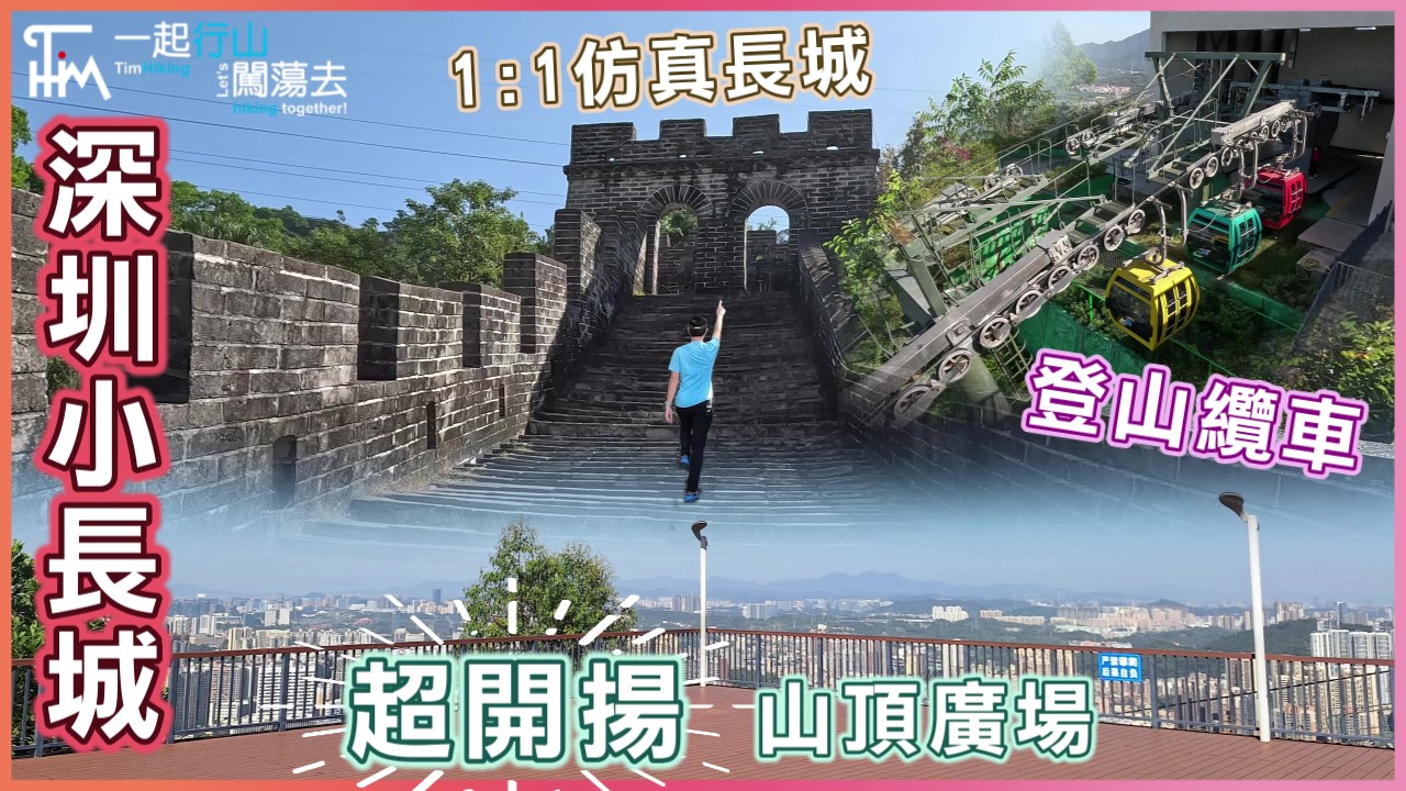
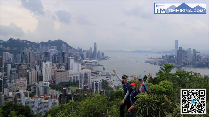
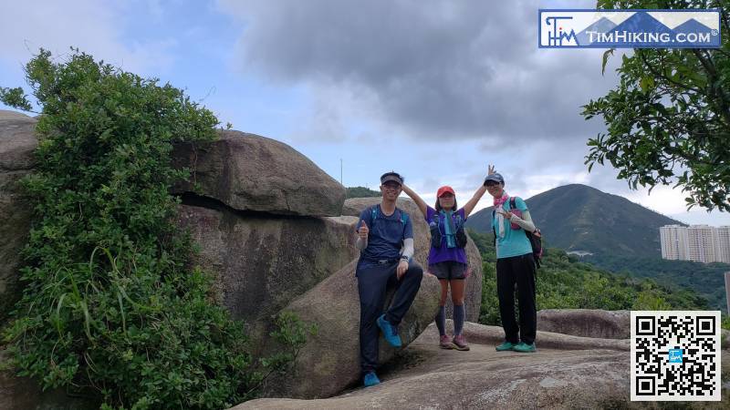
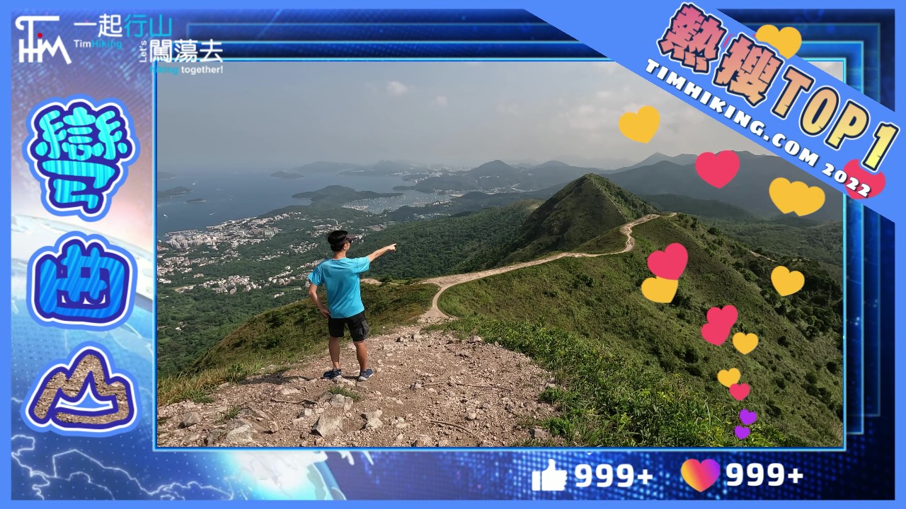
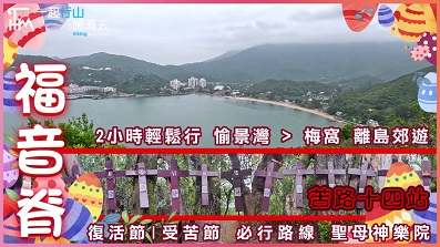
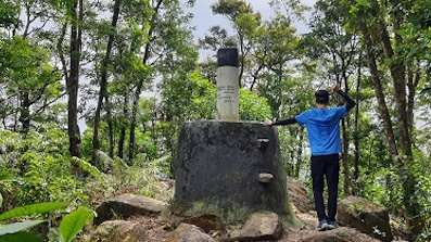
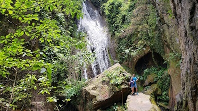
Behind is the landscape of Hung Heung Lo Fung, which is a well-known spot, it is so beautiful.


| View : | | ||
| Difficulty : | | ||
| Path : | |||
| Length : | 6.6km | ||
| Time : | 4hours | ||
| |
| Ascent : 497m | Descent : 528m |
| Max : 432m | Min : 167m |
| (The accuracy of elevation is +/-30m) | |
| cat : | 謝謝! (2021-01-19) |
You're welcome! (Tim Sir 2021-01-19) |
| cat : | 請問那條路線可經此電台呢? (2021-01-18) |
要在圖42的位置向北爆上去 (Tim Sir 2021-01-18) |
| Cat : |  請問這條線, 可否經相片中電台嗎? (2021-01-18) |
此路線沒有經過此位置 (Tim Sir 2021-01-18) |
Thanks a lot! Hope our hiking information is helpful to you. Everyone is happy to go hiking and safely!
Welcome to use Payme AlipayHK to sponsor Tim Sir's efforts! Continue to give selflessly for the mountain world.
He always comes alongside us to comfort us in every suffering so that we can come alongside those who are in any painful trial. We can bring them this same comfort that God has poured out upon us.
2 Corinthians 1:4 TPT
一起爬山闖蕩去 | timhiking | timhiking | timhiking | Message Board | Disclaimer


