


 Recommend YouTube

| View : |  | ||
| Difficulty : |  | ||
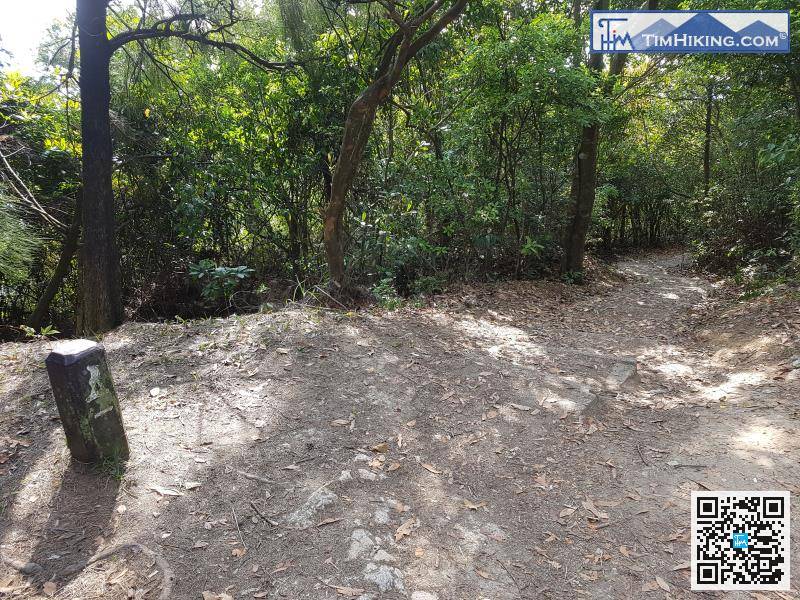
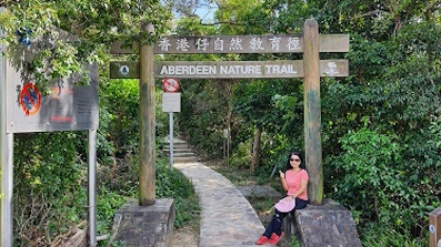
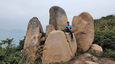
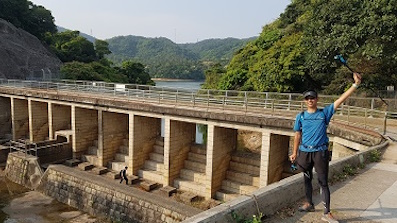
| Path : | |||
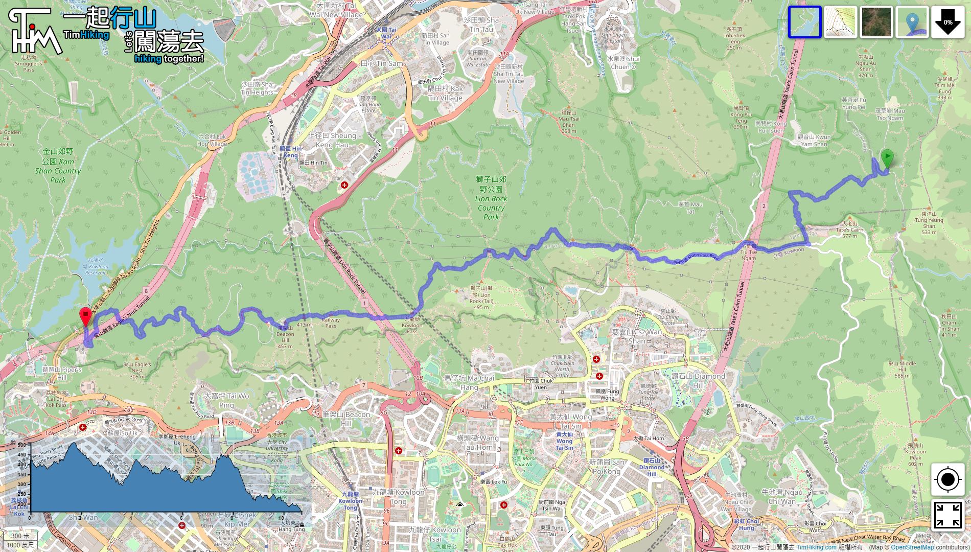
| Length : | 10.7km | ||
| Time : | 3hours | ||
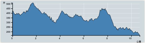 | |
| Ascent : 994m | Descent : 1,387m |
| Max : 511m | Min : 161m |
| (The accuracy of elevation is +/-30m) | |

 Lion Pavilion Store
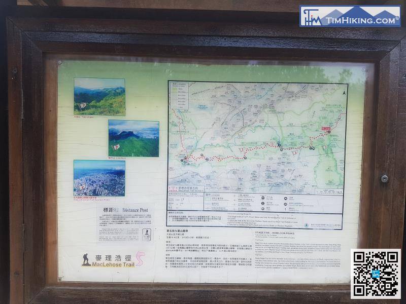
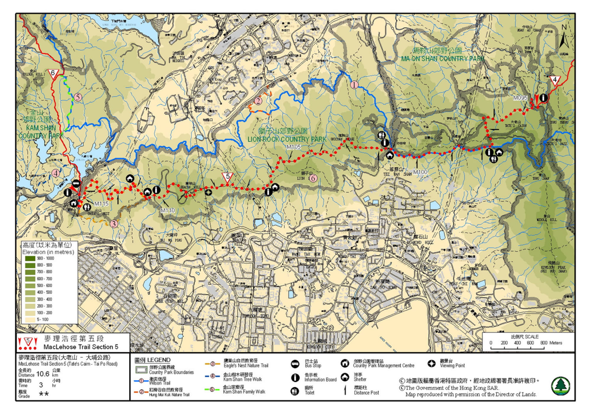
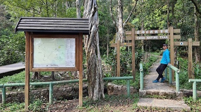
Official Map


| View : | | ||
| Difficulty : | | ||
| Path : | |||
| Length : | 10.7km | ||
| Time : | 3hours | ||
| |
| Ascent : 994m | Descent : 1,387m |
| Max : 511m | Min : 161m |
| (The accuracy of elevation is +/-30m) | |
| Polly : | 多謝你提供麥5 的路線,稍後會有其他路段分享嗎? (2018-07-26) |
會的,稍後麥徑全段也會加入。 (Tim Sir 2018-07-26) |
Thanks a lot! Hope our hiking information is helpful to you. Everyone is happy to go hiking and safely!
Welcome to use Payme AlipayHK to sponsor Tim Sir's efforts! Continue to give selflessly for the mountain world.
For though he sends grief, still he will have pity in the full measure of his love. For he has no pleasure in troubling and causing grief to the children of men.
Lamentations 3:32-33 BBE

一起爬山闖蕩去 | timhiking | timhiking | timhiking | Message Board | Disclaimer


