


 Recommend YouTube


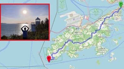
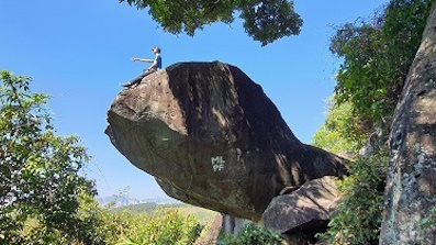
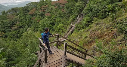
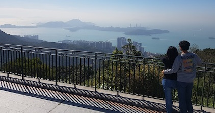
| View : |  | ||
| Difficulty : |  | ||
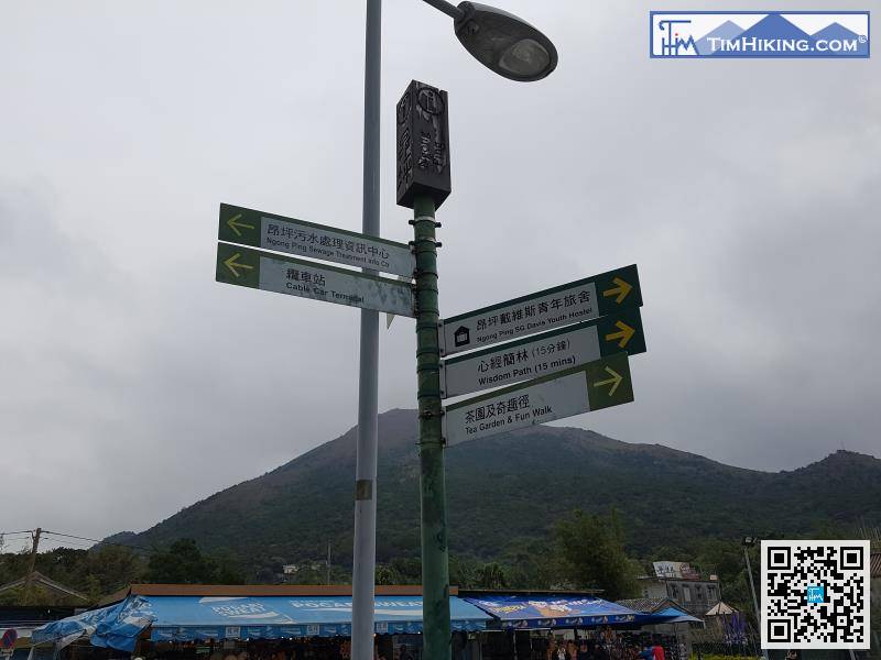
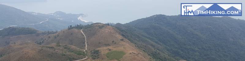
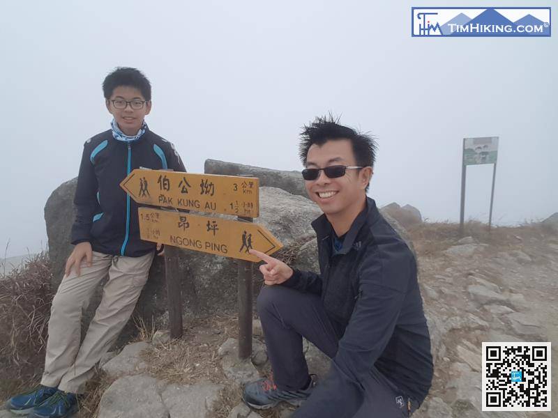
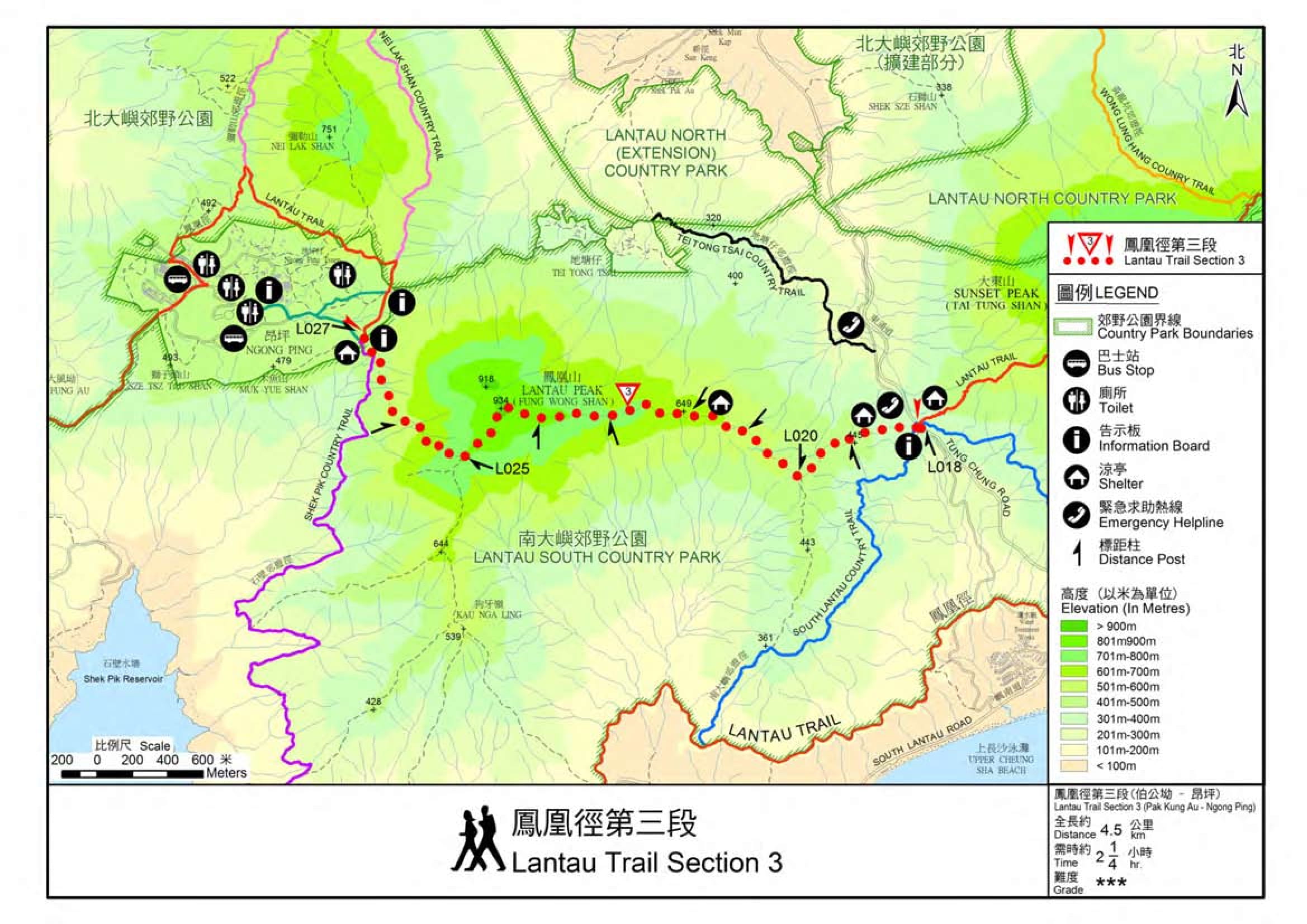
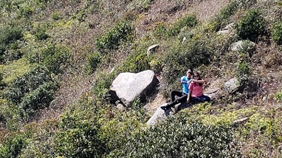
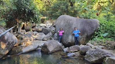
| Path : | |||
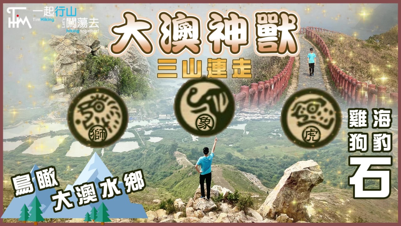
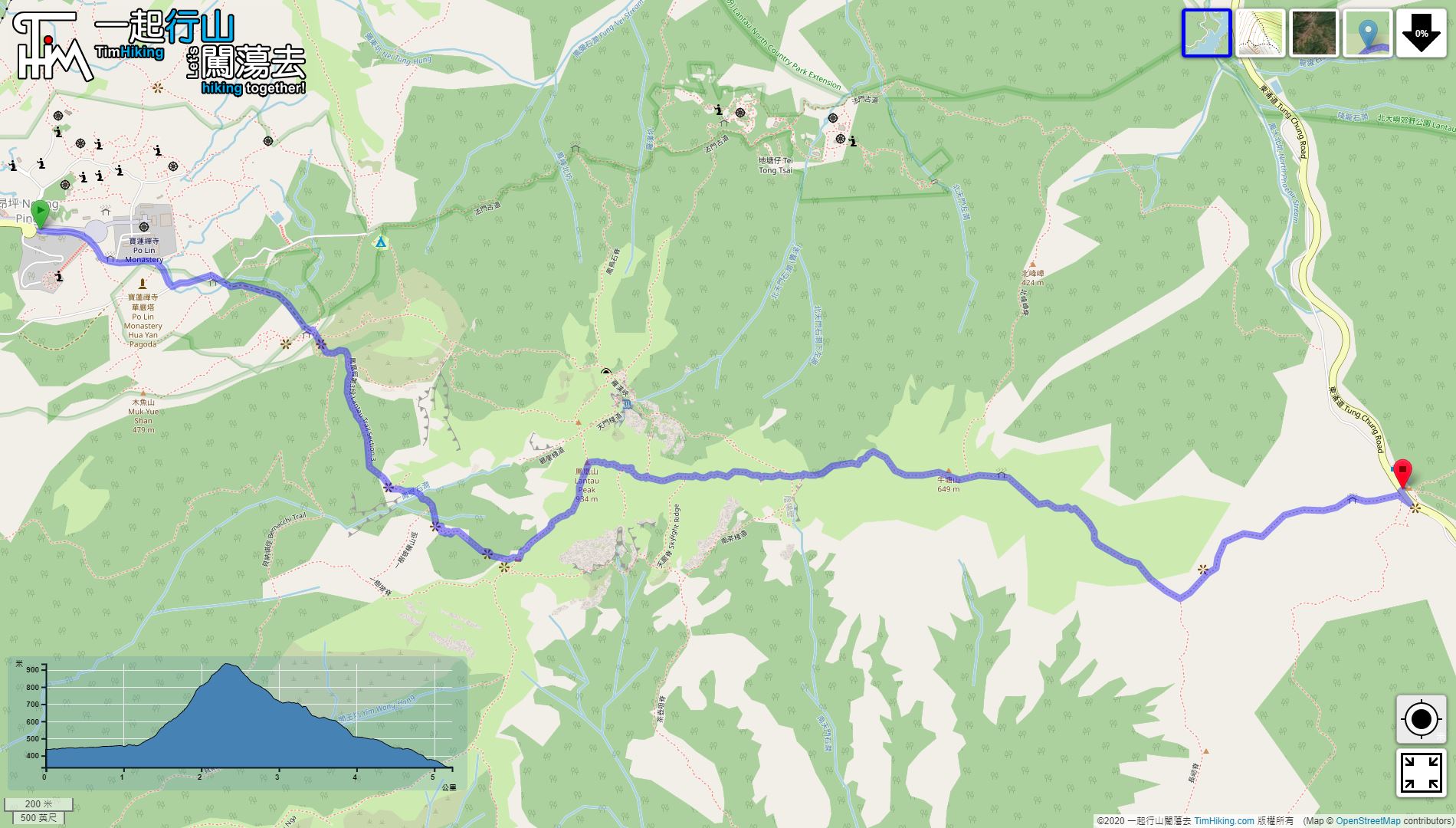
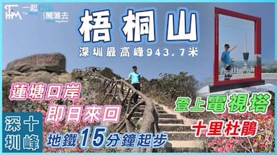
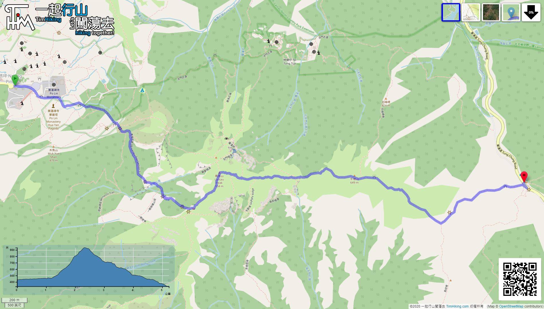
| Length : | 5.2km | ||
| Time : | 2hours | ||
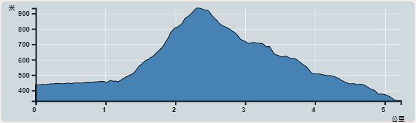 | |
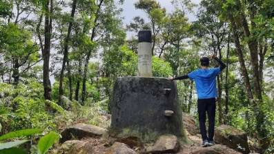
| Ascent : 513m | Descent : 613m |
| Max : 895m | Min : 332m |
| (The accuracy of elevation is +/-30m) | |


Official Map


| View : | | ||
| Difficulty : | | ||
| Path : | |||
| Length : | 5.2km | ||
| Time : | 2hours | ||
| |
| Ascent : 513m | Descent : 613m |
| Max : 895m | Min : 332m |
| (The accuracy of elevation is +/-30m) | |
Thanks a lot! Hope our hiking information is helpful to you. Everyone is happy to go hiking and safely!
Welcome to use Payme AlipayHK to sponsor Tim Sir's efforts! Continue to give selflessly for the mountain world.
Be careful for nothing; but in every thing by prayer and supplication with thanksgiving let your requests be made known unto God.
Philippians 4:6
一起爬山闖蕩去 | timhiking | timhiking | timhiking | Message Board | Disclaimer


