


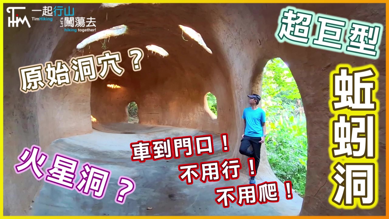
 Recommend YouTube
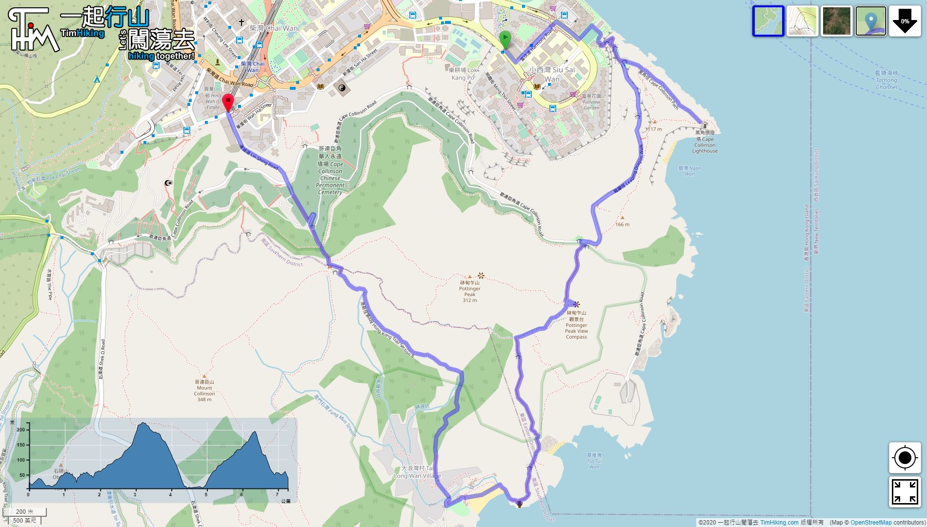

| View : |  | ||
| Difficulty : |  | ||
| Path : | |||
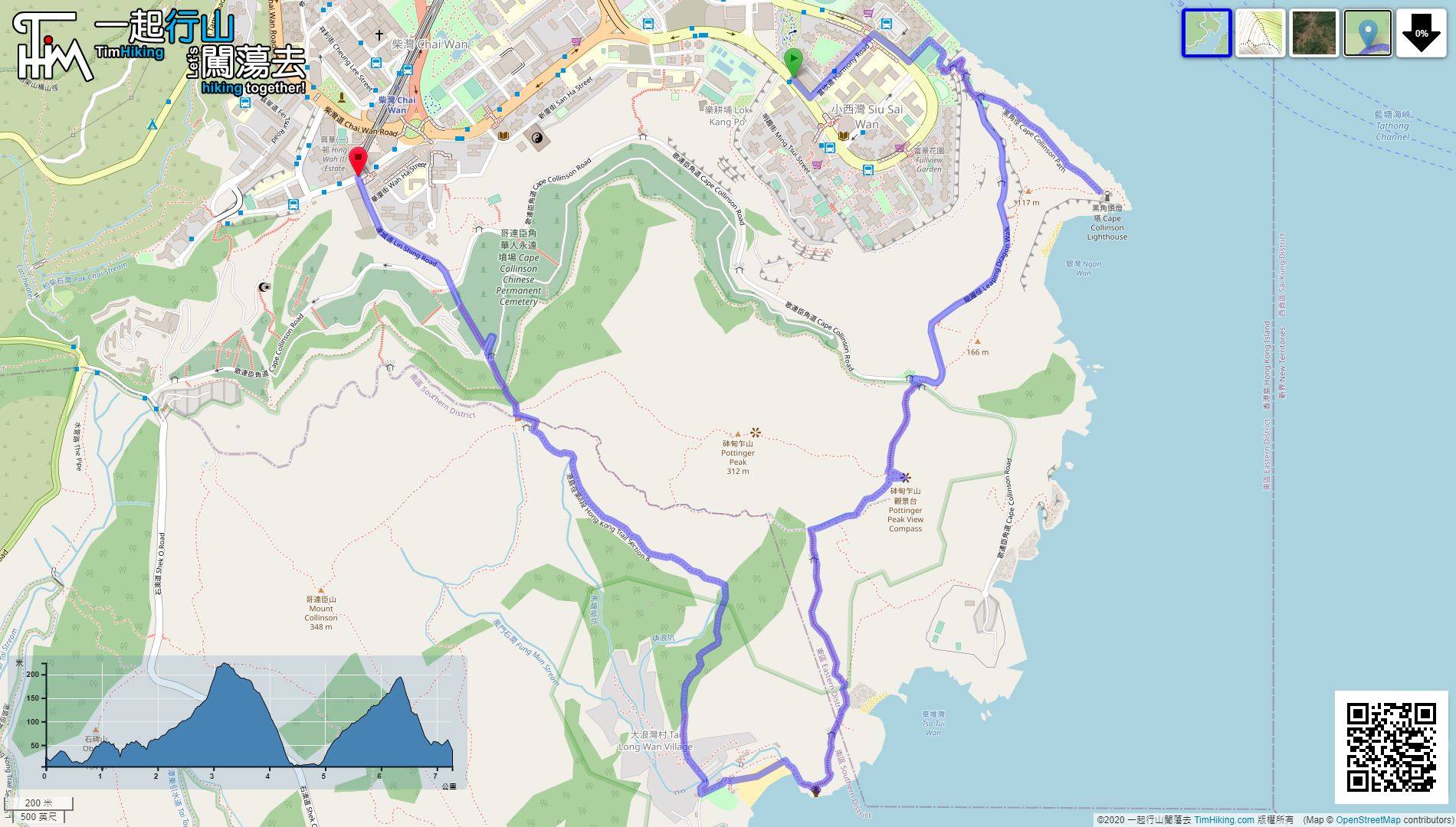
| Length : | 6.7km | ||
| Time : | 3hours | ||
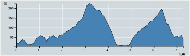 | |
| Ascent : 526m | Descent : 507m |
| Max : 224m | Min : 5m |
| (The accuracy of elevation is +/-30m) | |


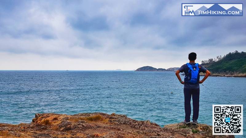
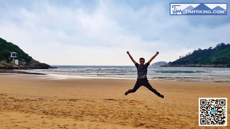
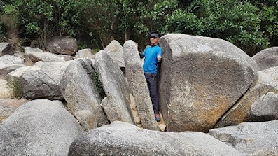
 Tai Long Wan Beach Store


| View : | | ||
| Difficulty : | | ||
| Path : | |||
| Length : | 6.7km | ||
| Time : | 3hours | ||
| |
| Ascent : 526m | Descent : 507m |
| Max : 224m | Min : 5m |
| (The accuracy of elevation is +/-30m) | |
| Bernice : | 請問如在哥連臣角火葬場作起點,該如何銜接此路線呢,可否給予建議?謝謝你🙏🏻 (2021-05-06) |
其實你放大地圖便會見到條路了。 (Tim Sir 2021-05-06) |
Thanks a lot! Hope our hiking information is helpful to you. Everyone is happy to go hiking and safely!
Welcome to use Payme AlipayHK to sponsor Tim Sir's efforts! Continue to give selflessly for the mountain world.
And may your hearts be guided by the Lord into the love of God and quiet waiting for Christ.
2 Thessalonians 3:5 BBE
一起爬山闖蕩去 | timhiking | timhiking | timhiking | Message Board | Disclaimer


