


 Recommend YouTube


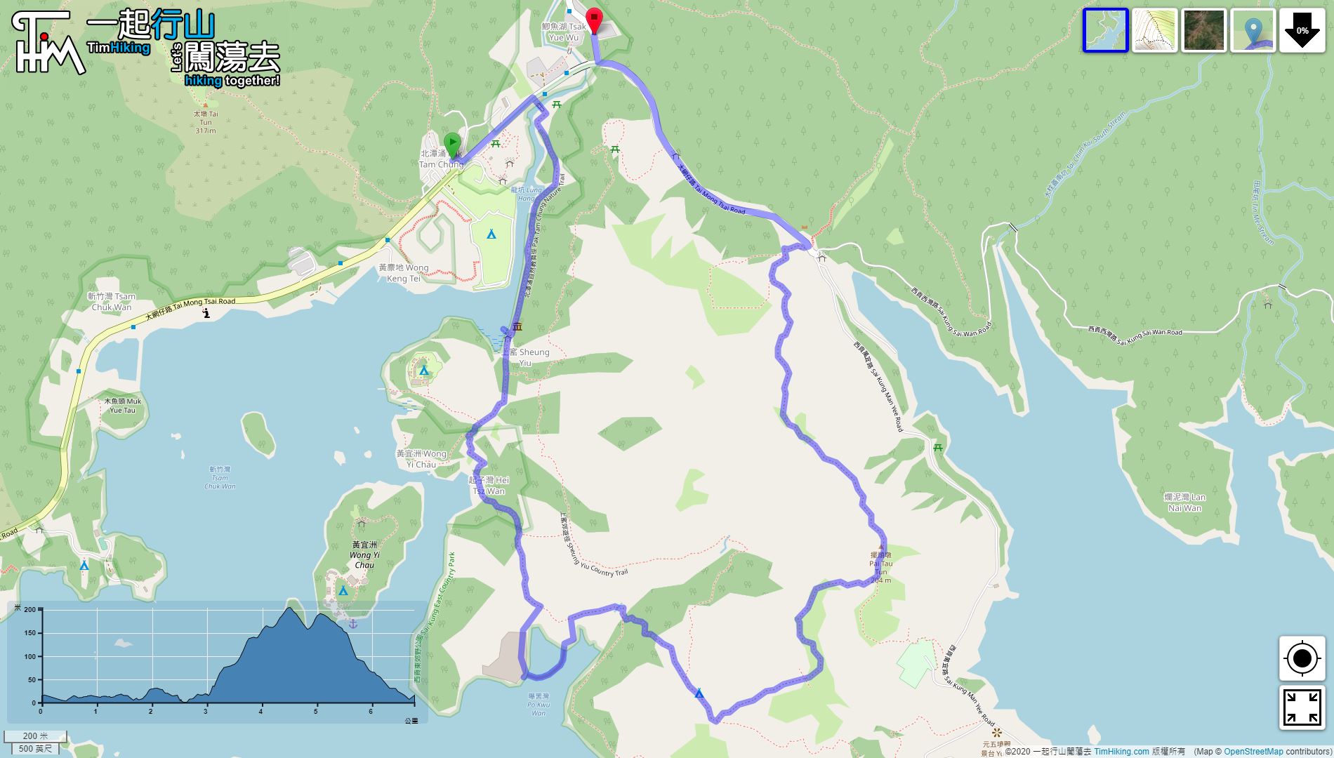


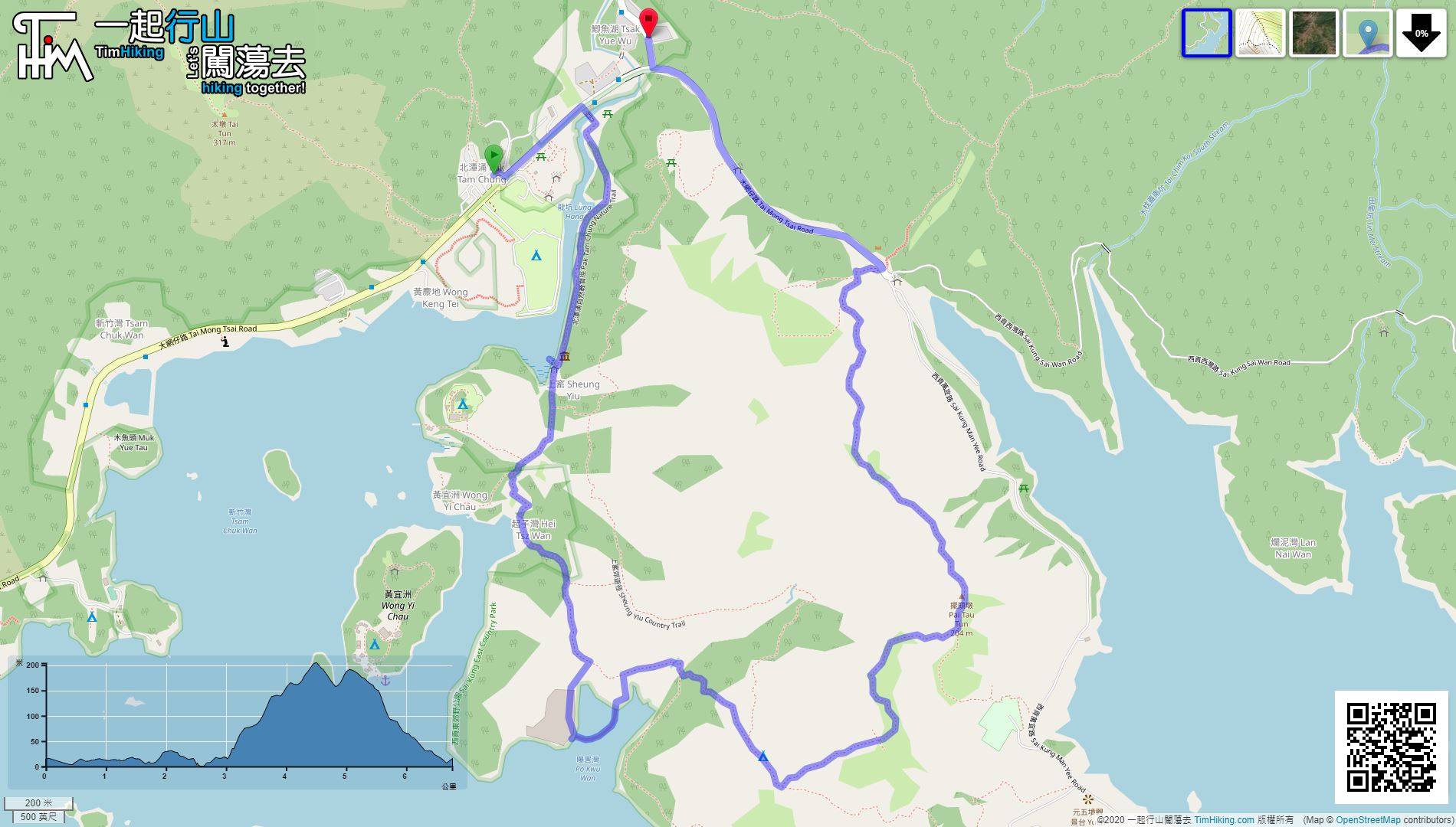
| View : |  | ||
| Difficulty : |  | ||
| Path : | |||
| Length : | 6.8km | ||
| Time : | 4hours | ||
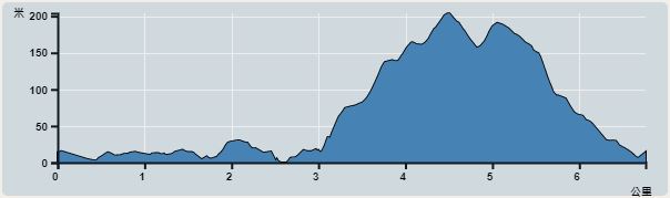 | |
| Ascent : 335m | Descent : 336m |
| Max : 199m | Min : 0m |
| (The accuracy of elevation is +/-30m) | |


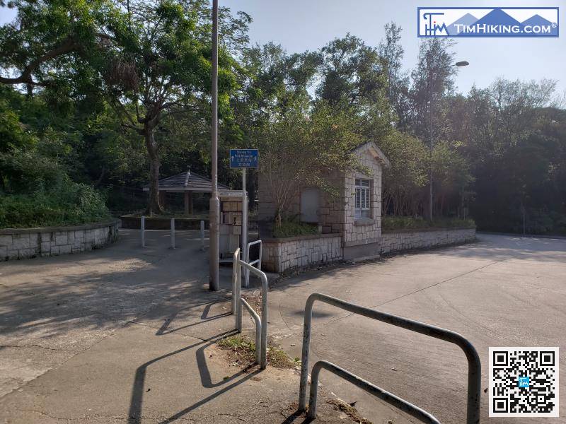
After getting off, there is a store and restroom next to it. Just start when everything is ready.
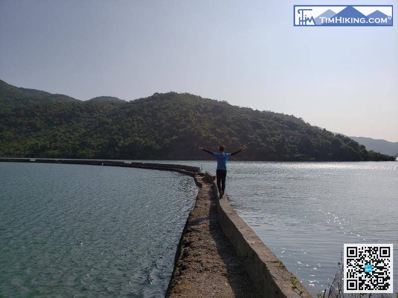
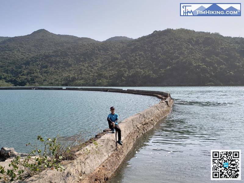
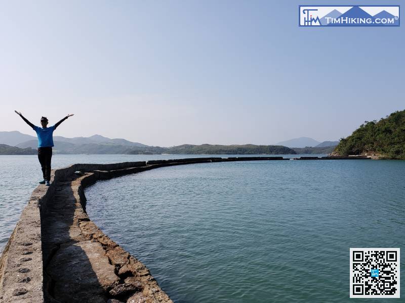
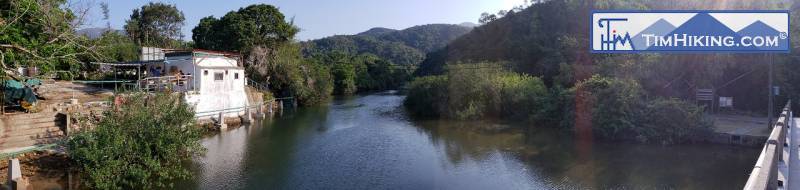
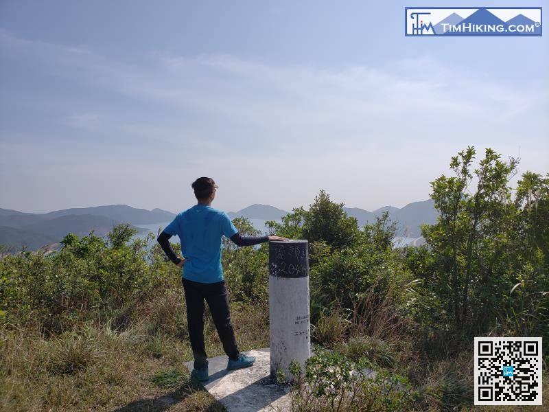
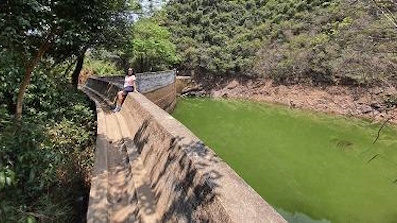
The long and narrow Po Kwu Wan dike is very dangerous, but it is actually very safe.
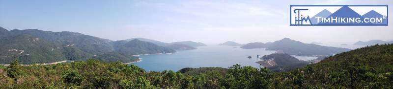
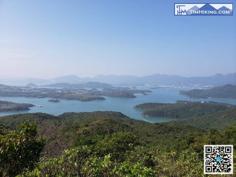
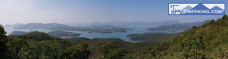
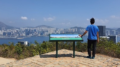
在PaiThe scenery at the top of Pai Tau Tun is not so open wide, because the surrounding trees are relatively high,


